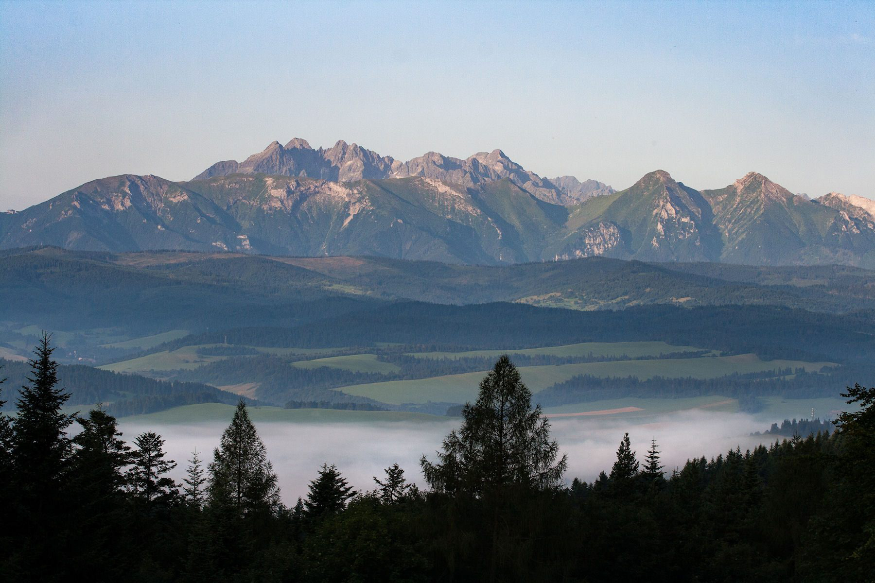
The Tatras seen from the Polish Pieniny mountain range, further north.
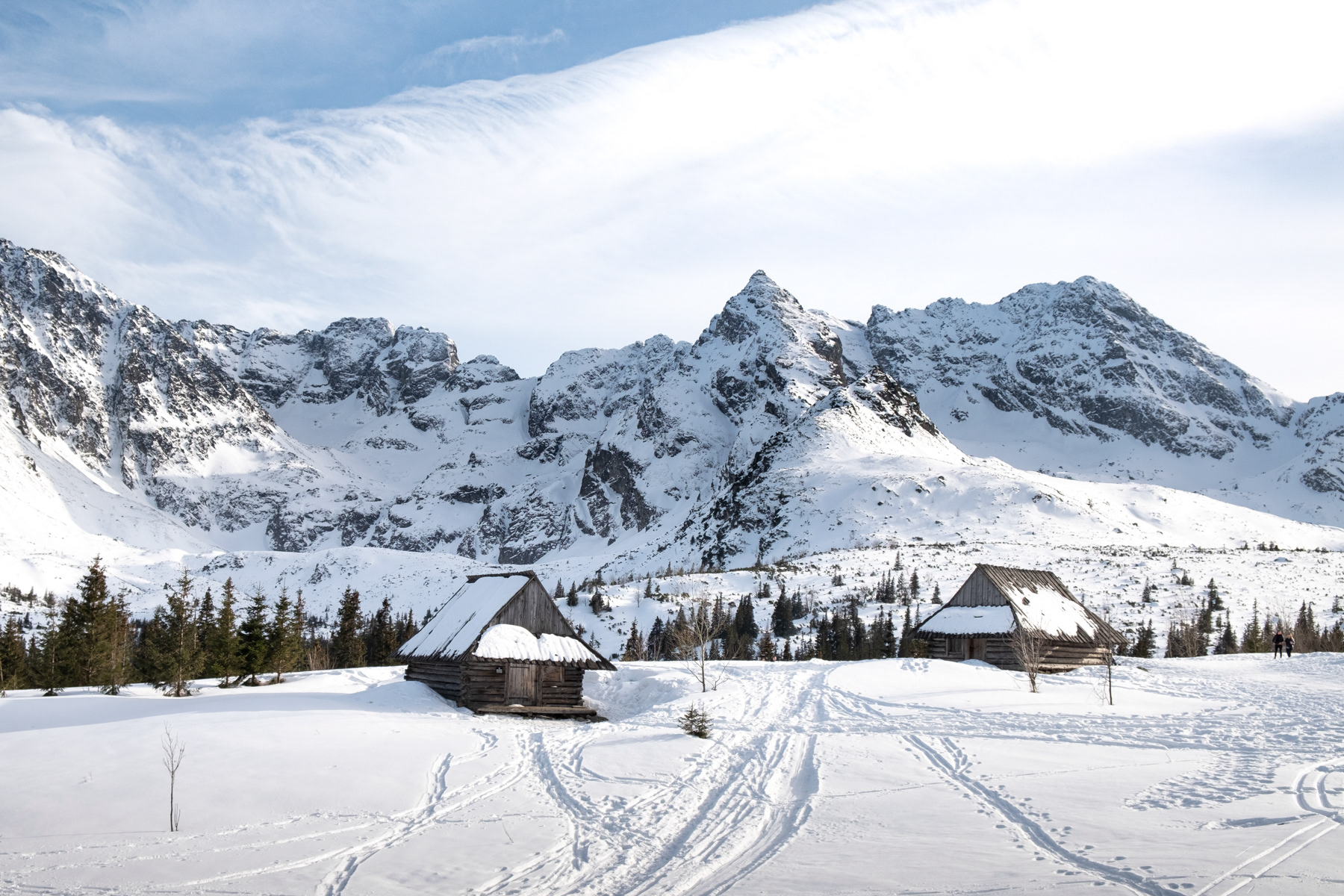
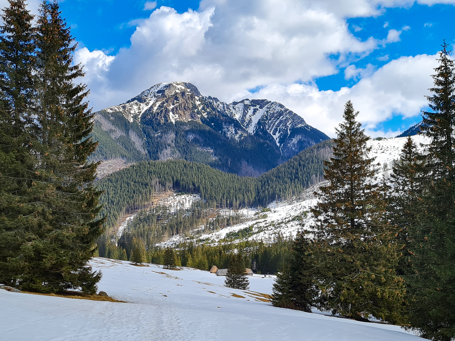
Hala Gąsienicowa Rówienki, near the Schronisko Murowaniec, in winter 2021
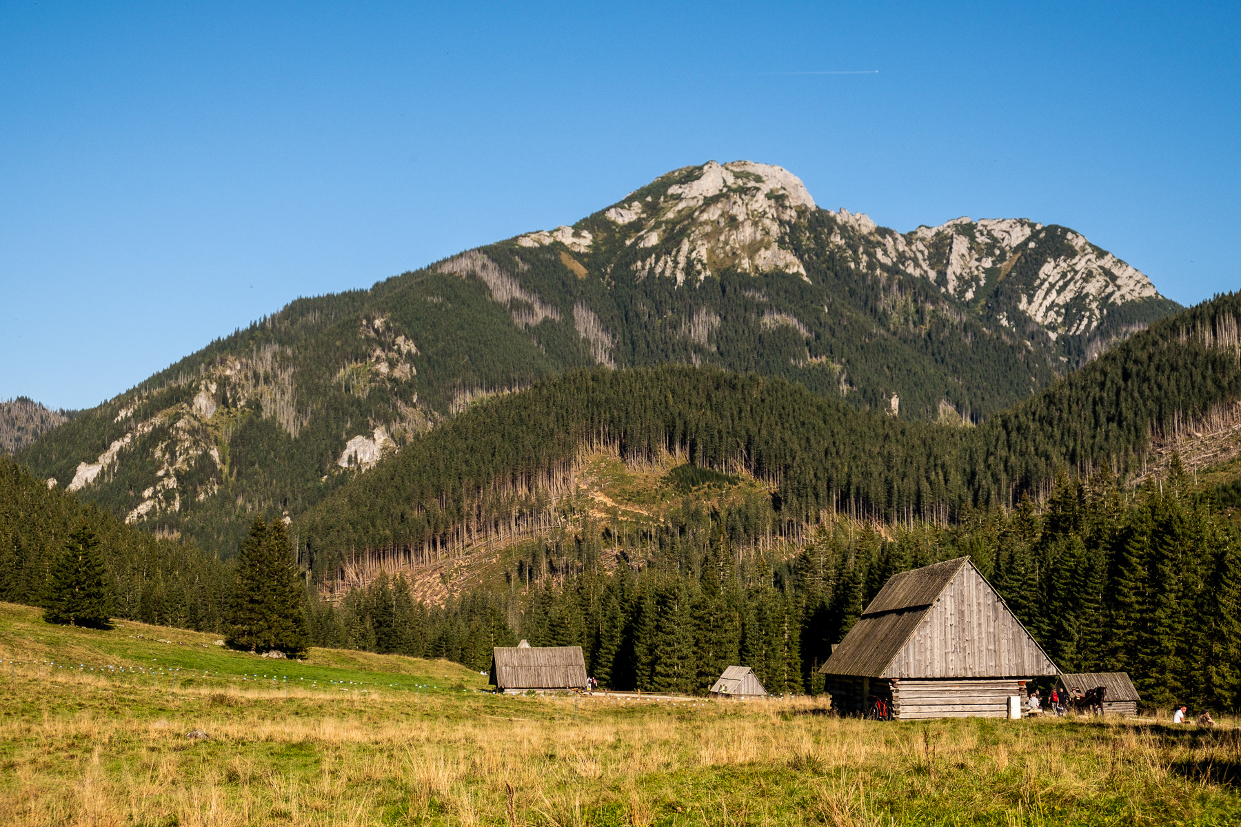
Hala Gąsienicowa Rówienki, near the Schronisko Murowaniec. Roughly the same spot as the last photo, but now taken mid-April 2024.
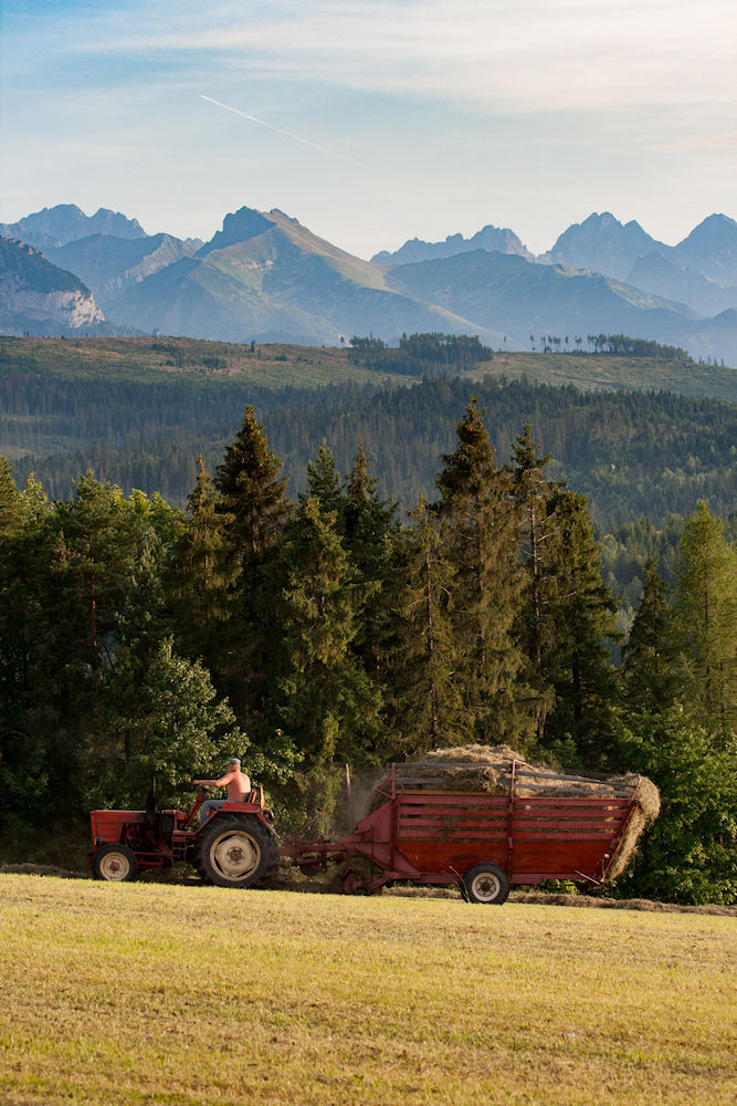
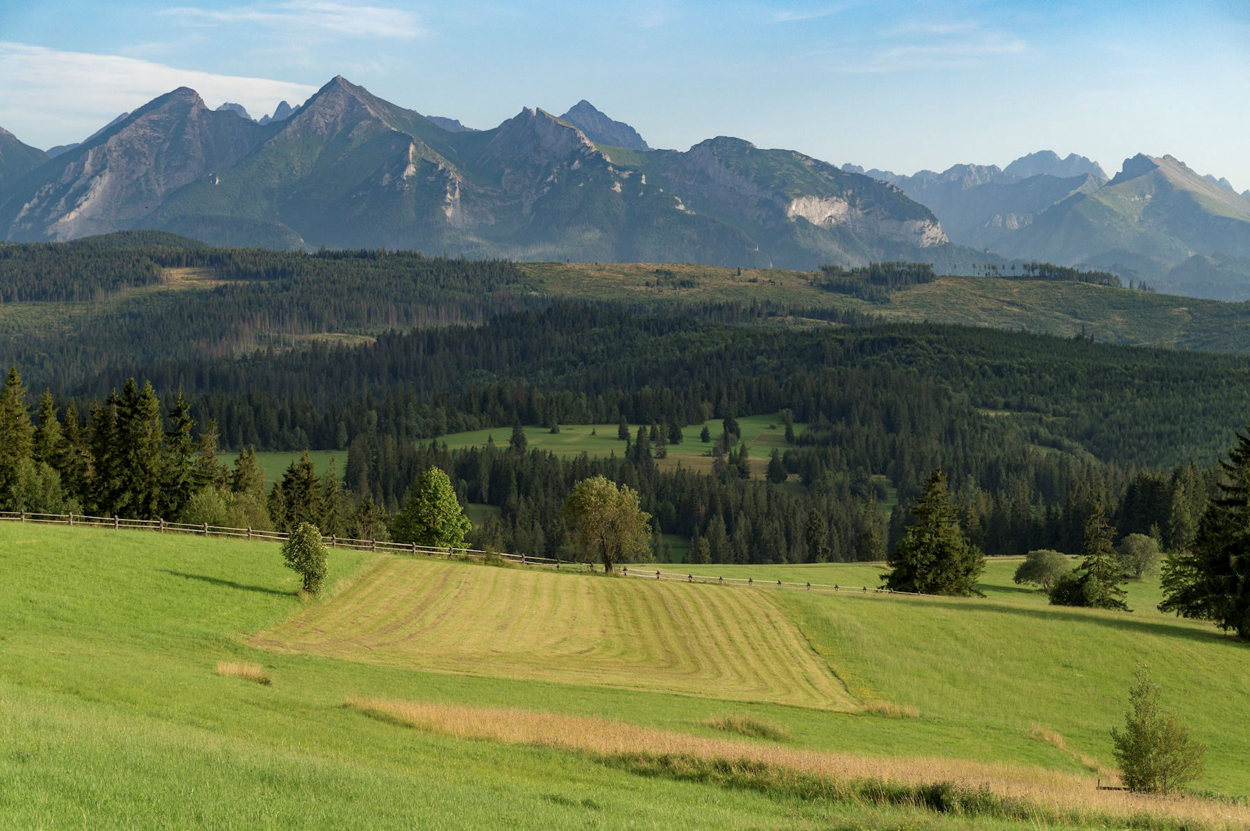
A farmer on the roll in Łapszanka.
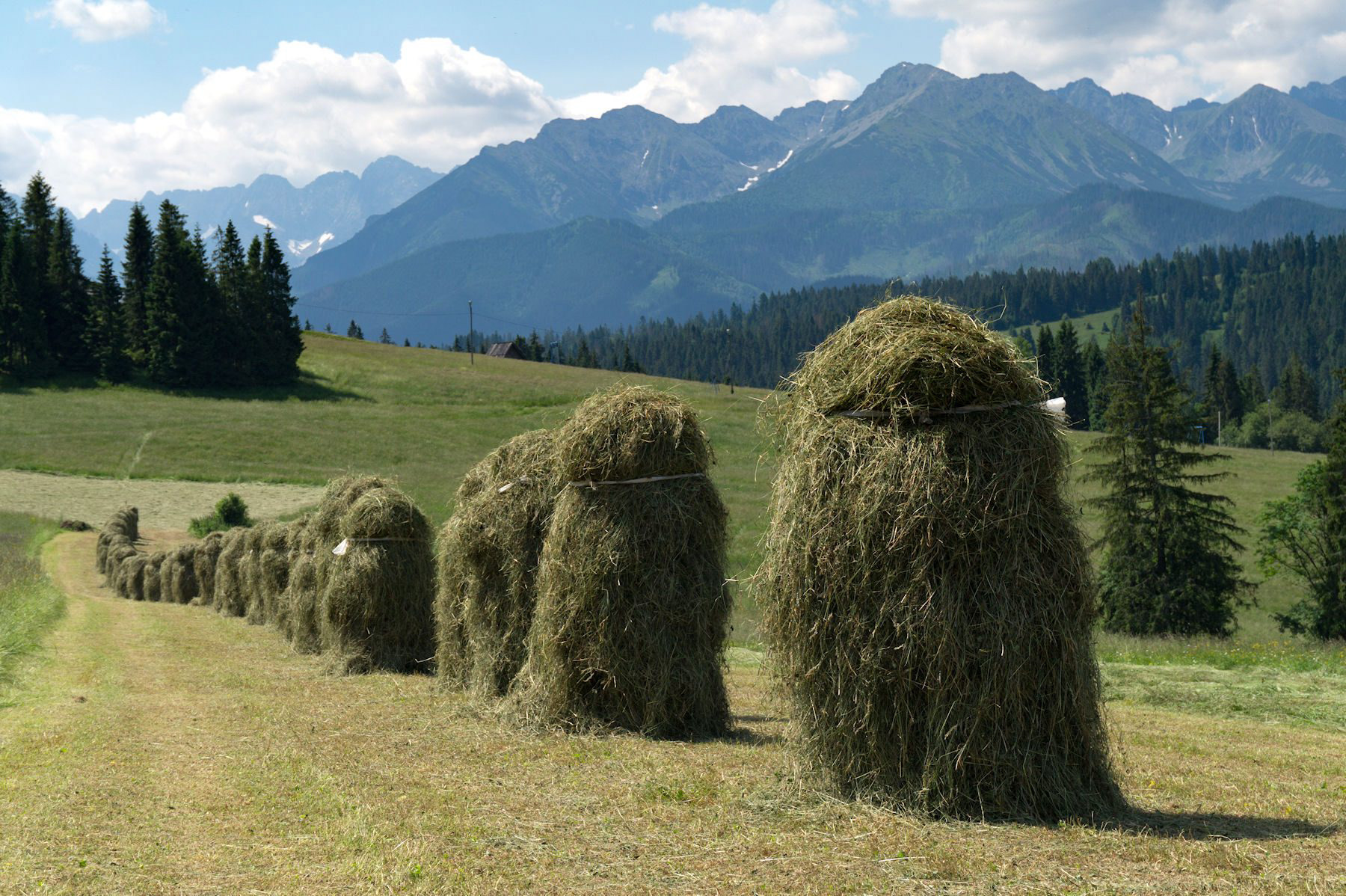
The typical way of drying hay in the rural areas of the Tatras. Here seen in Olszówka.
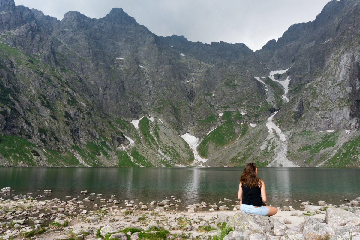
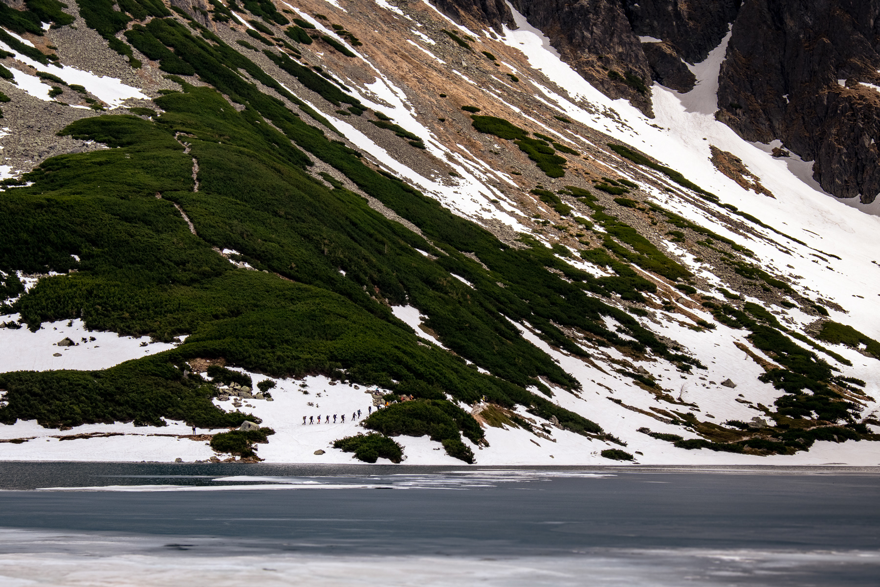
Almost hugable mountains, from the bank of Czarny Staw Gąsienicowy (Caterpillar Black Pond)
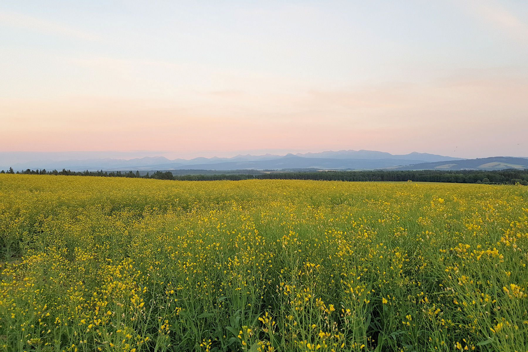
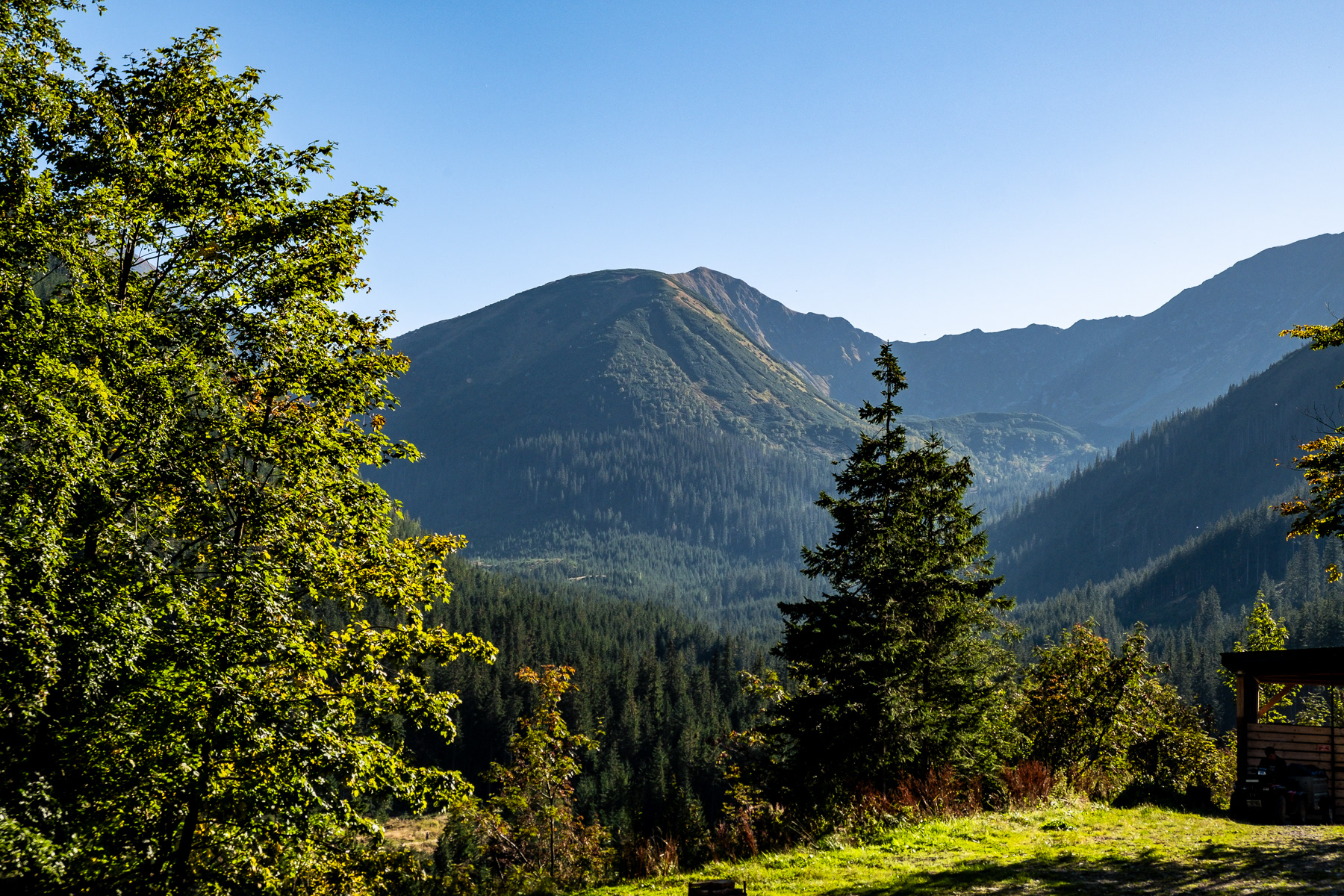
Summer fields on the Polish-Slovakian border further north, with the Tatras looming in the distance at the end of the day.
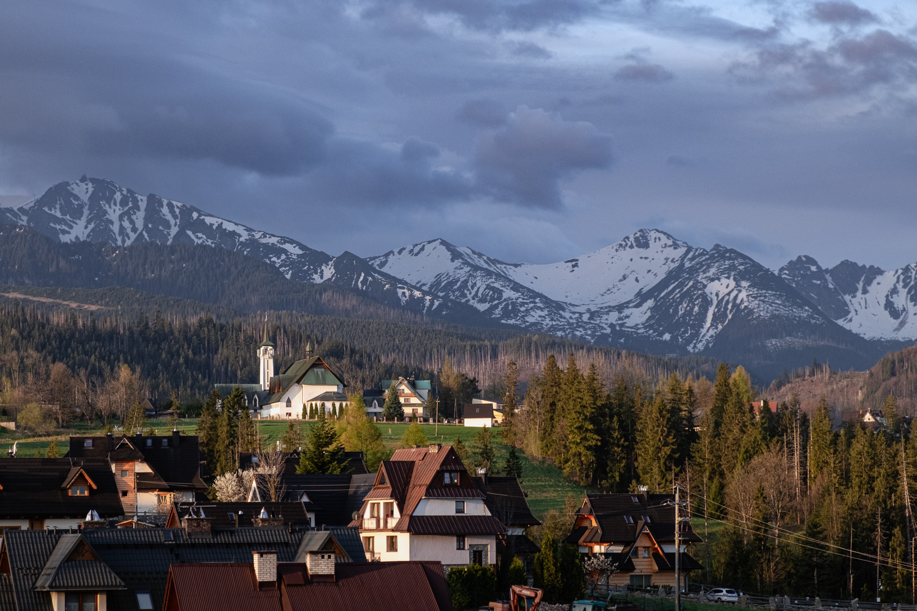
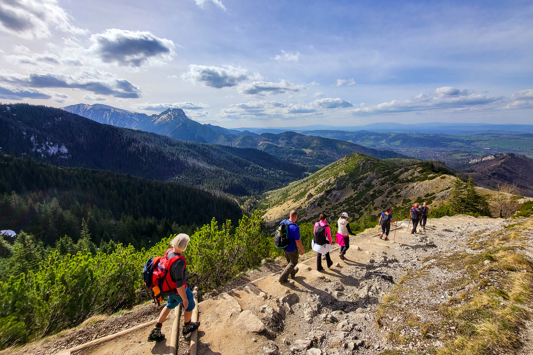
Looks like a great day for hiking! Taken in one of the villages near the town of Zakopane, where sunrise comes with stunning views, April 2024.
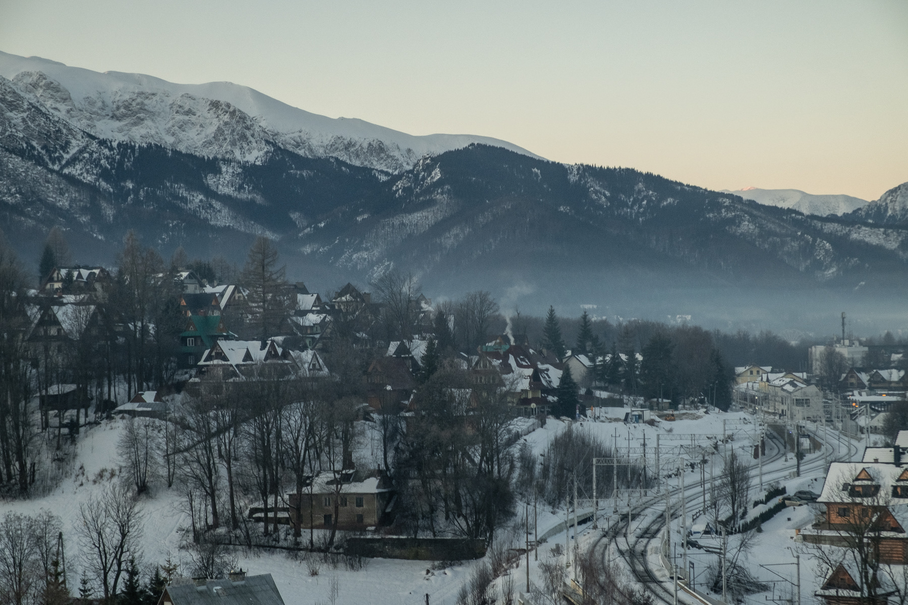
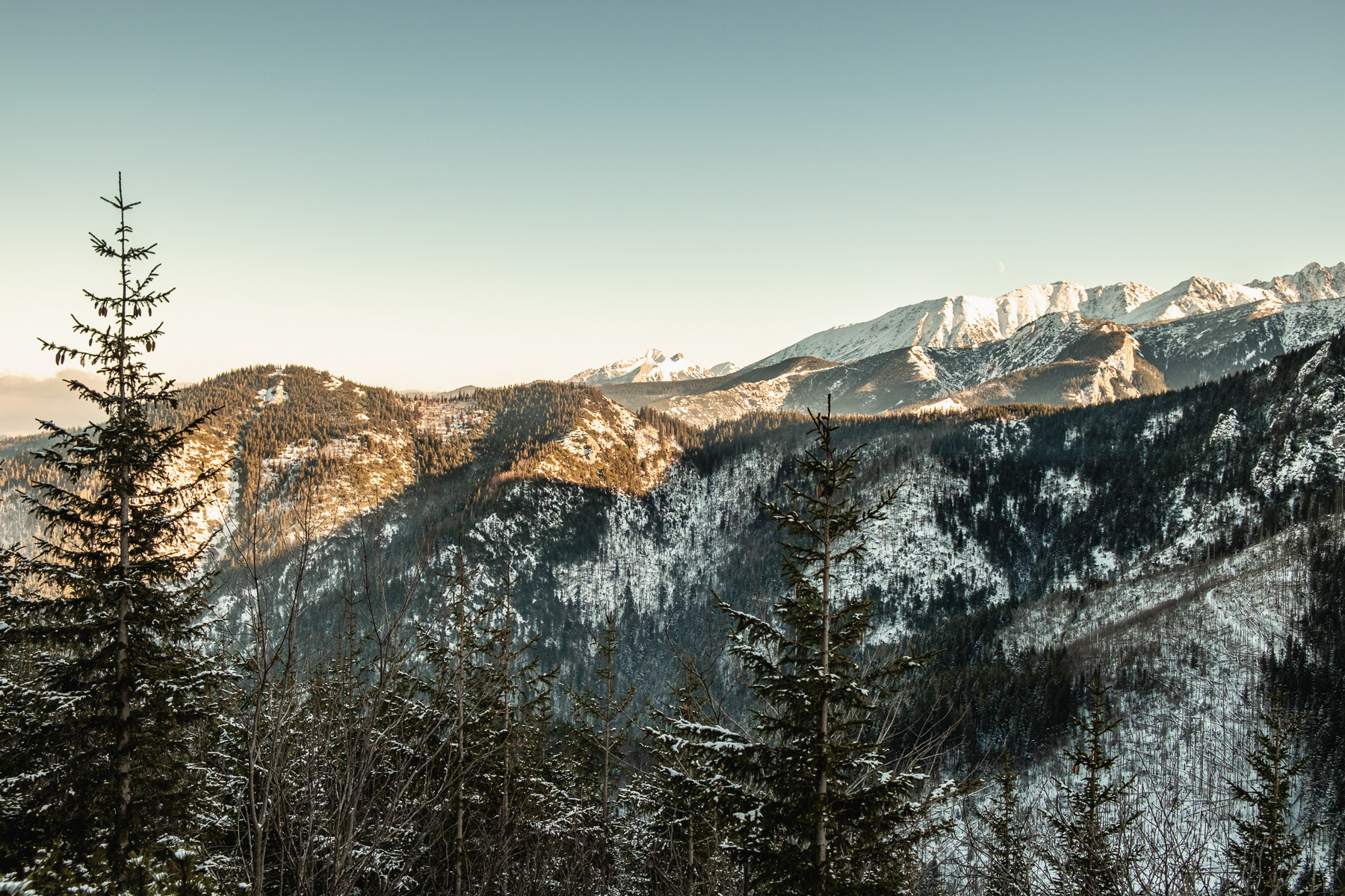
View at the Tatras from the outskirts of Zakopane, January 2026.
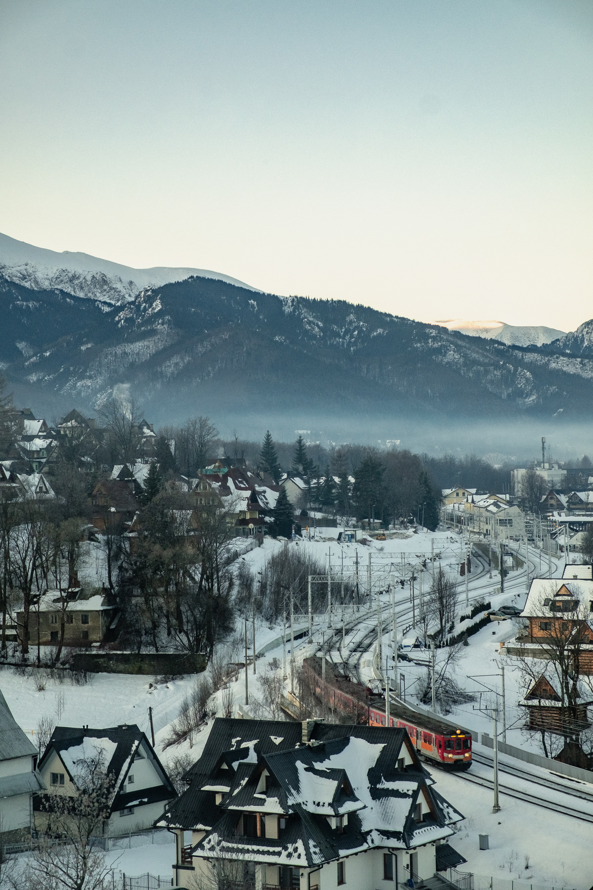
Zakopane is end of the line for trains from Kraków.
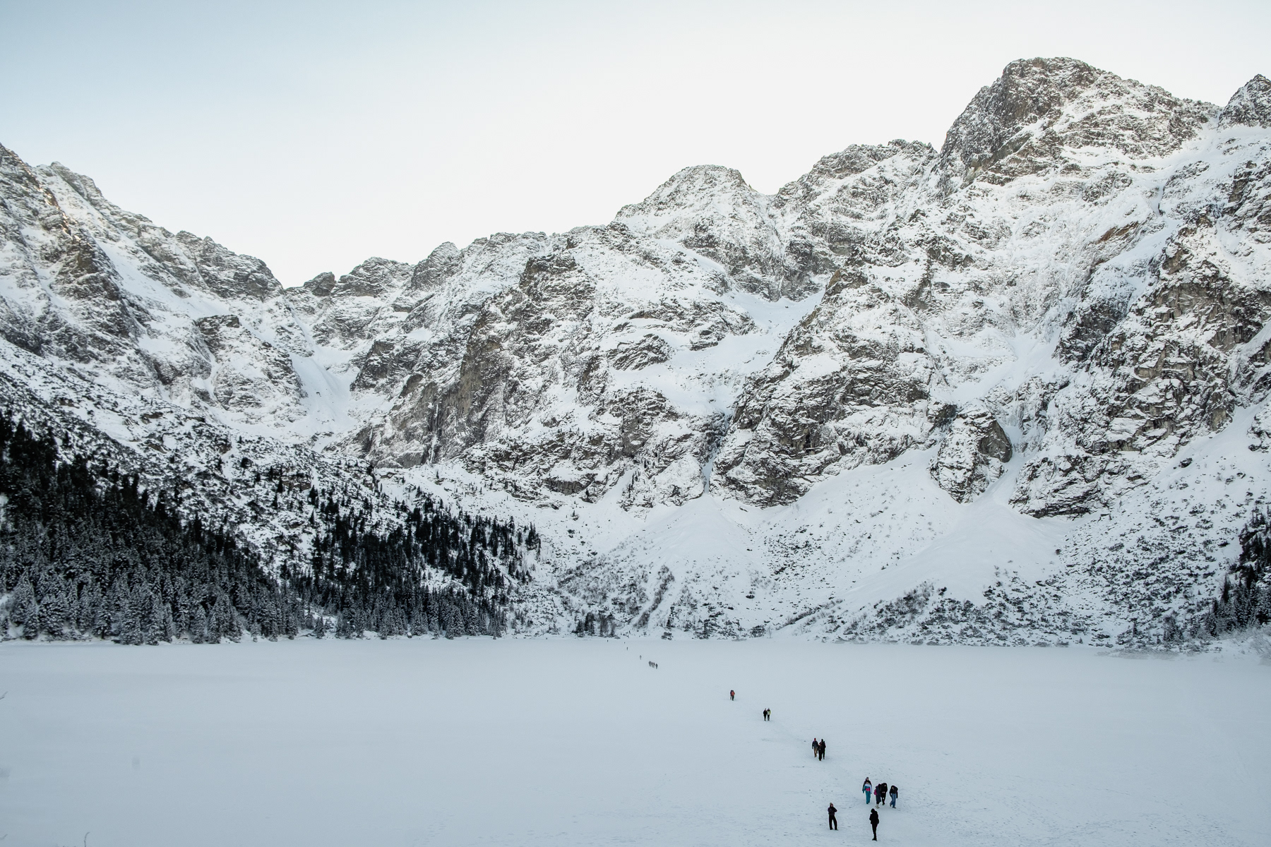
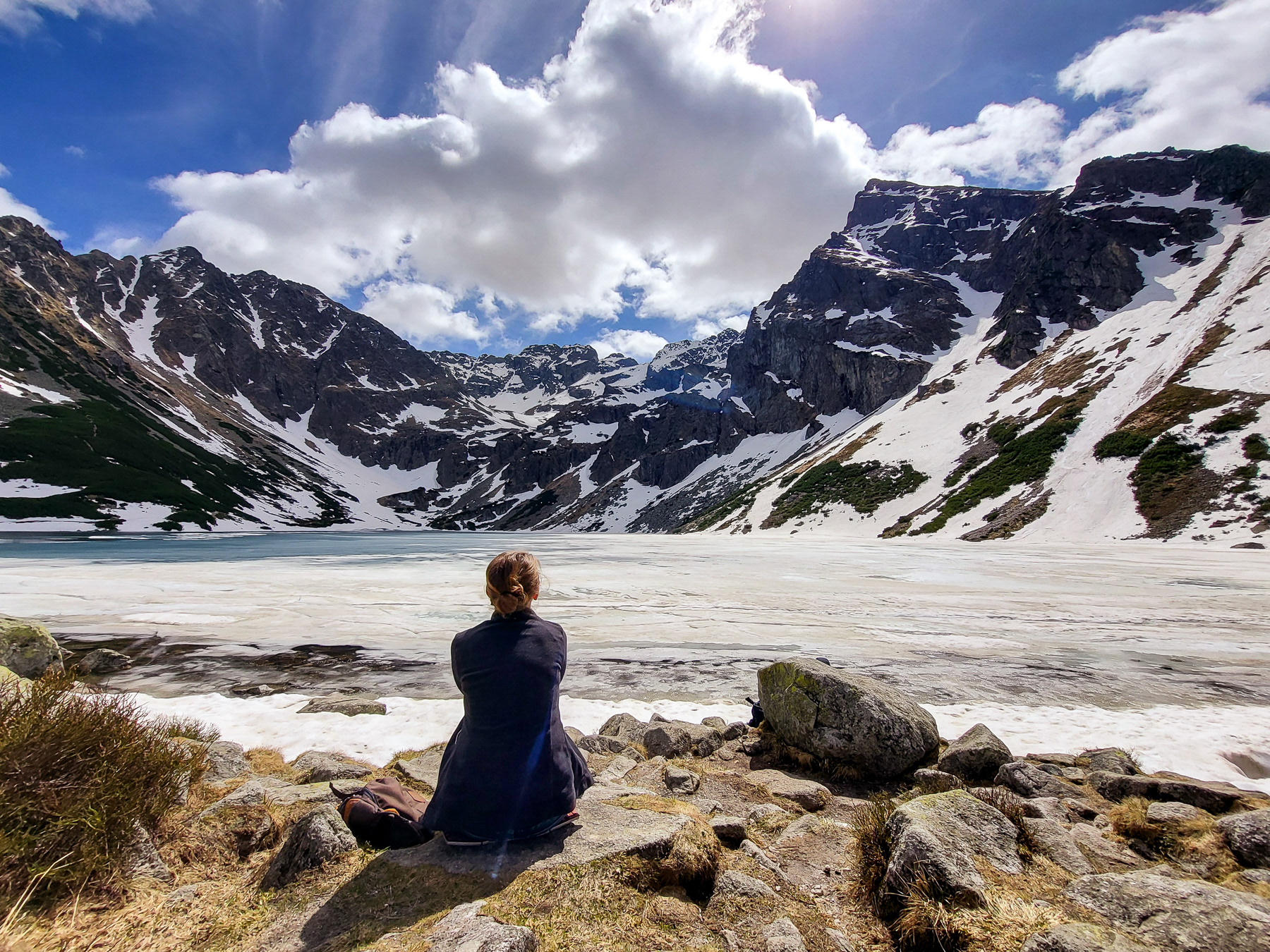
Lake Morskie Oko, Tatra National Park, January 2026.

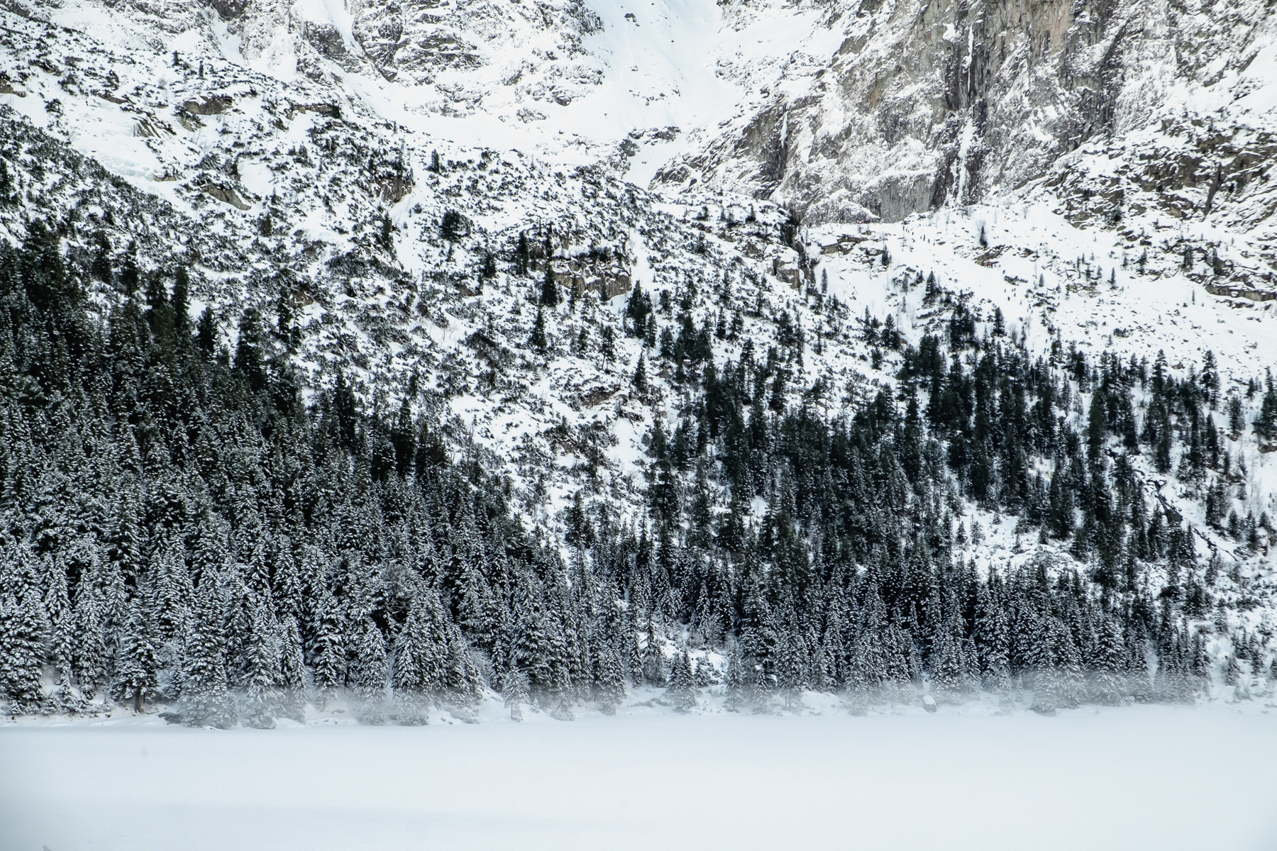
The western banks of Morskie Oko.
The eastern bank of Morskie Oko.
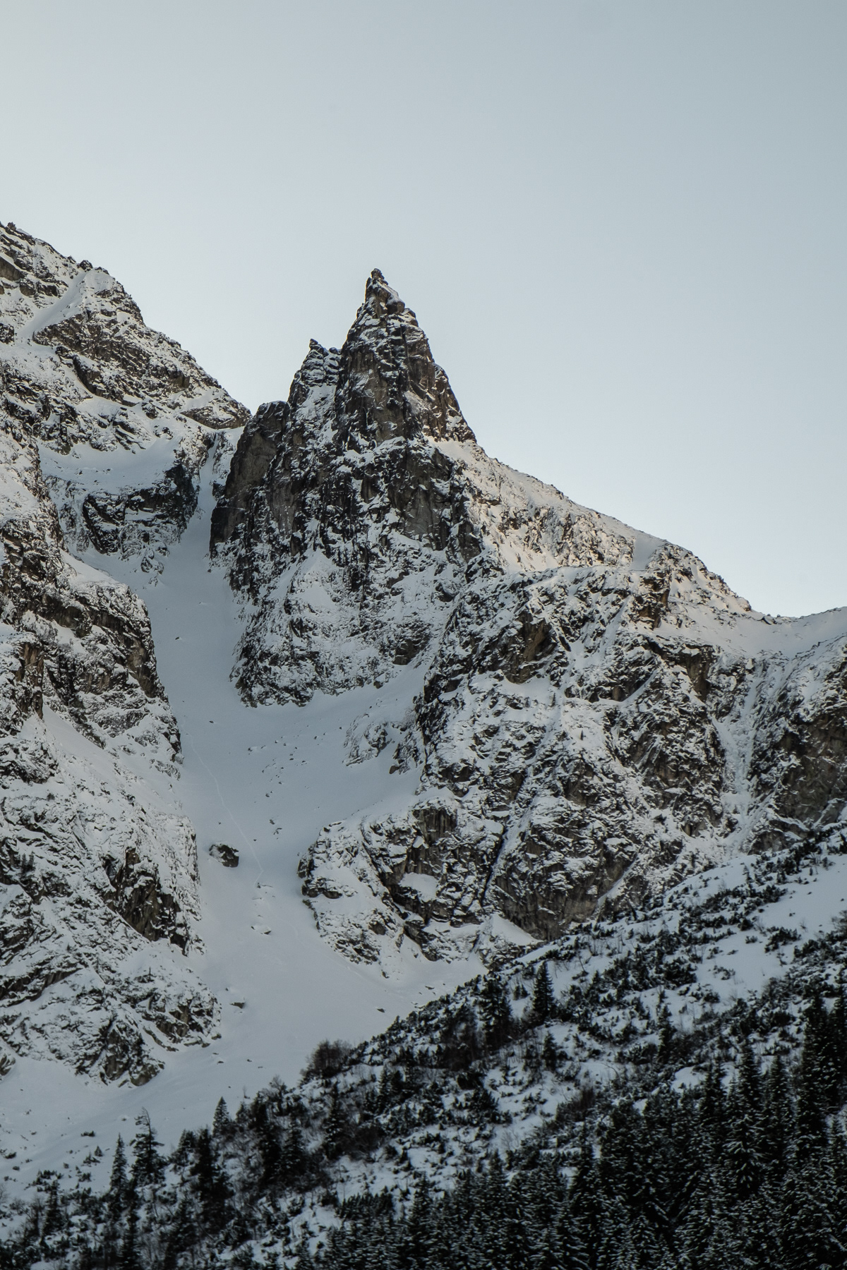
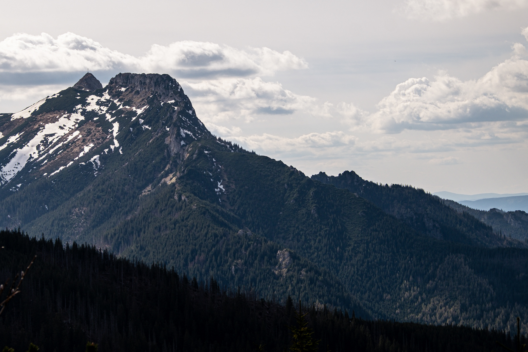
The Mnich (Monk) peaks.
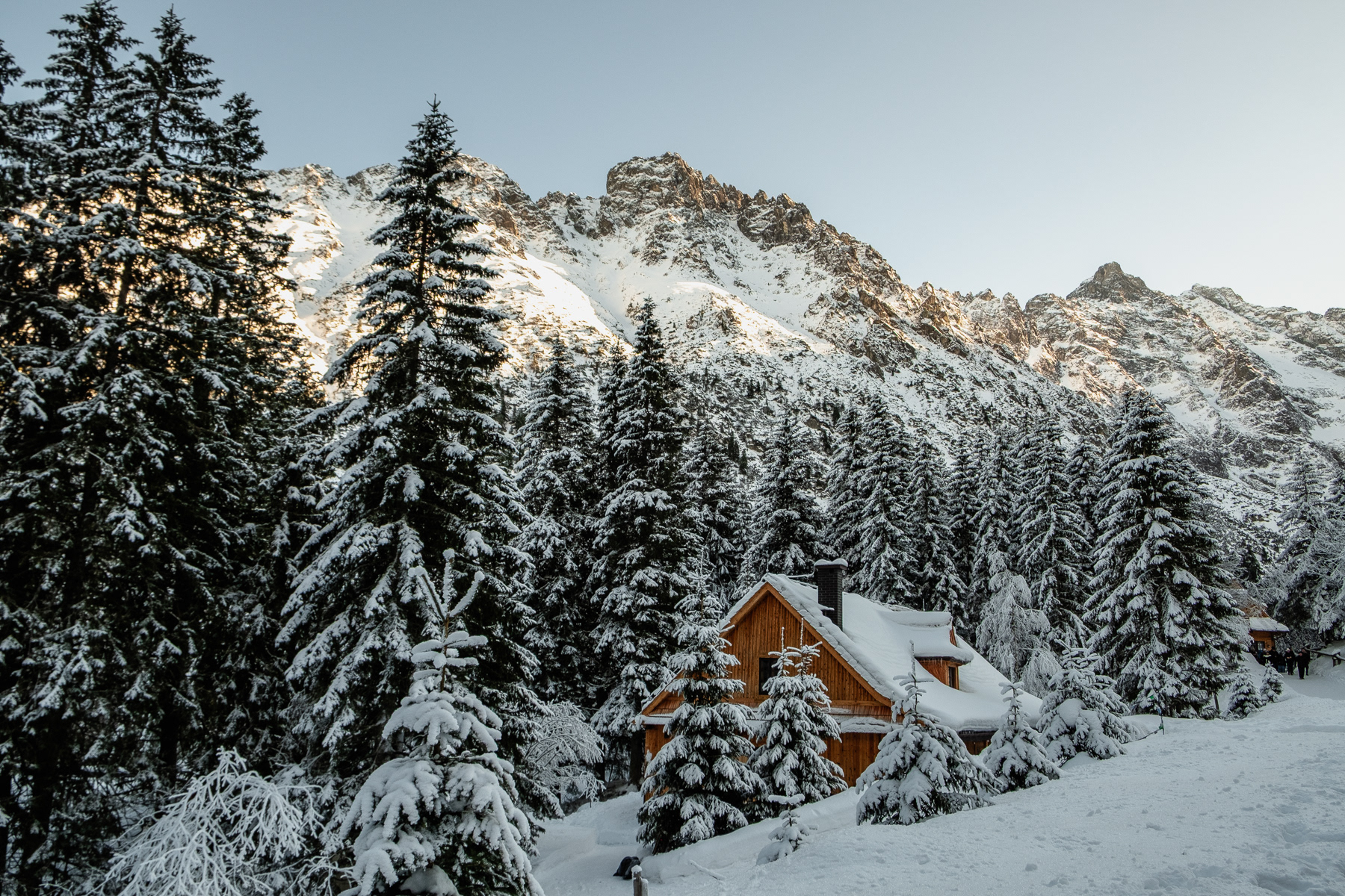
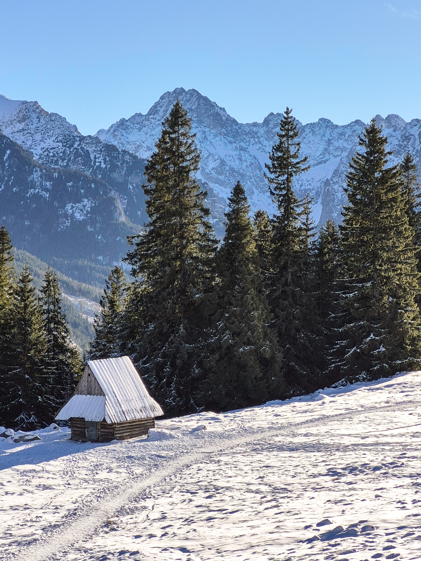
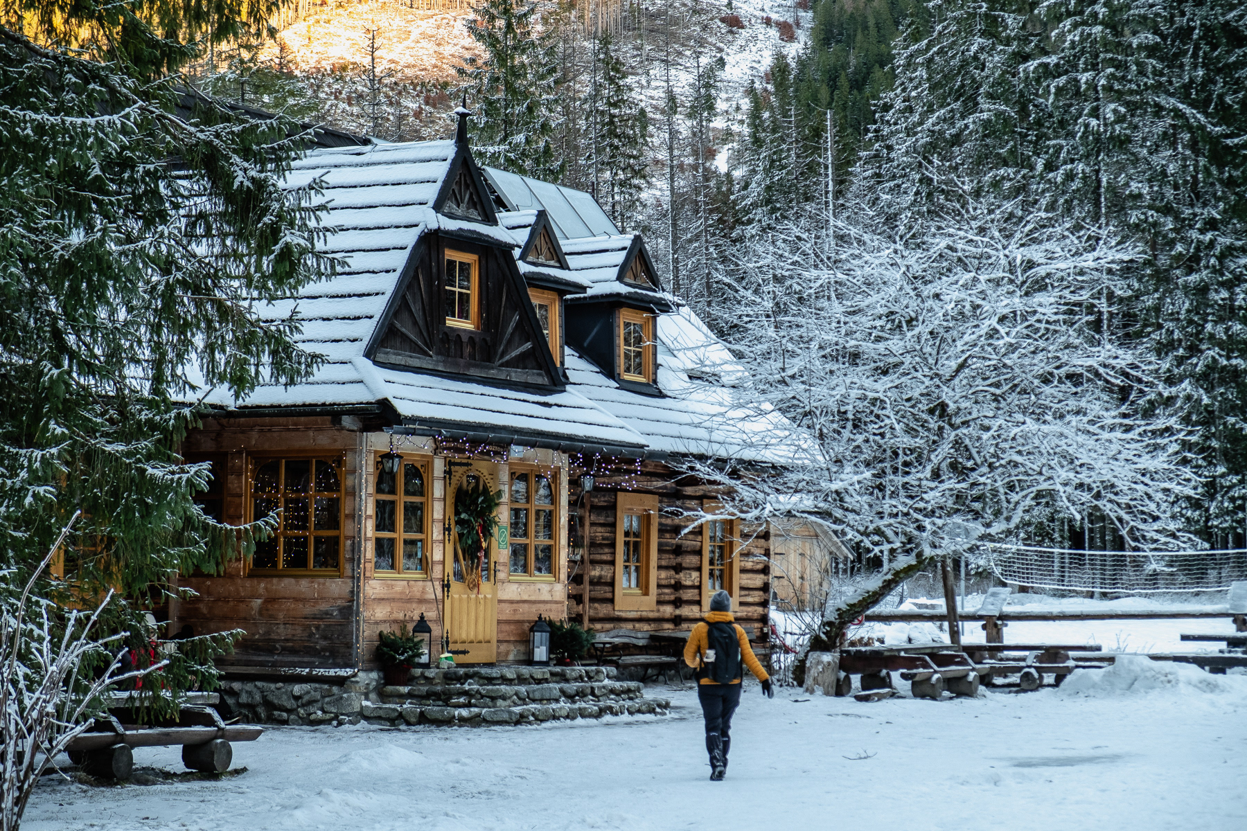
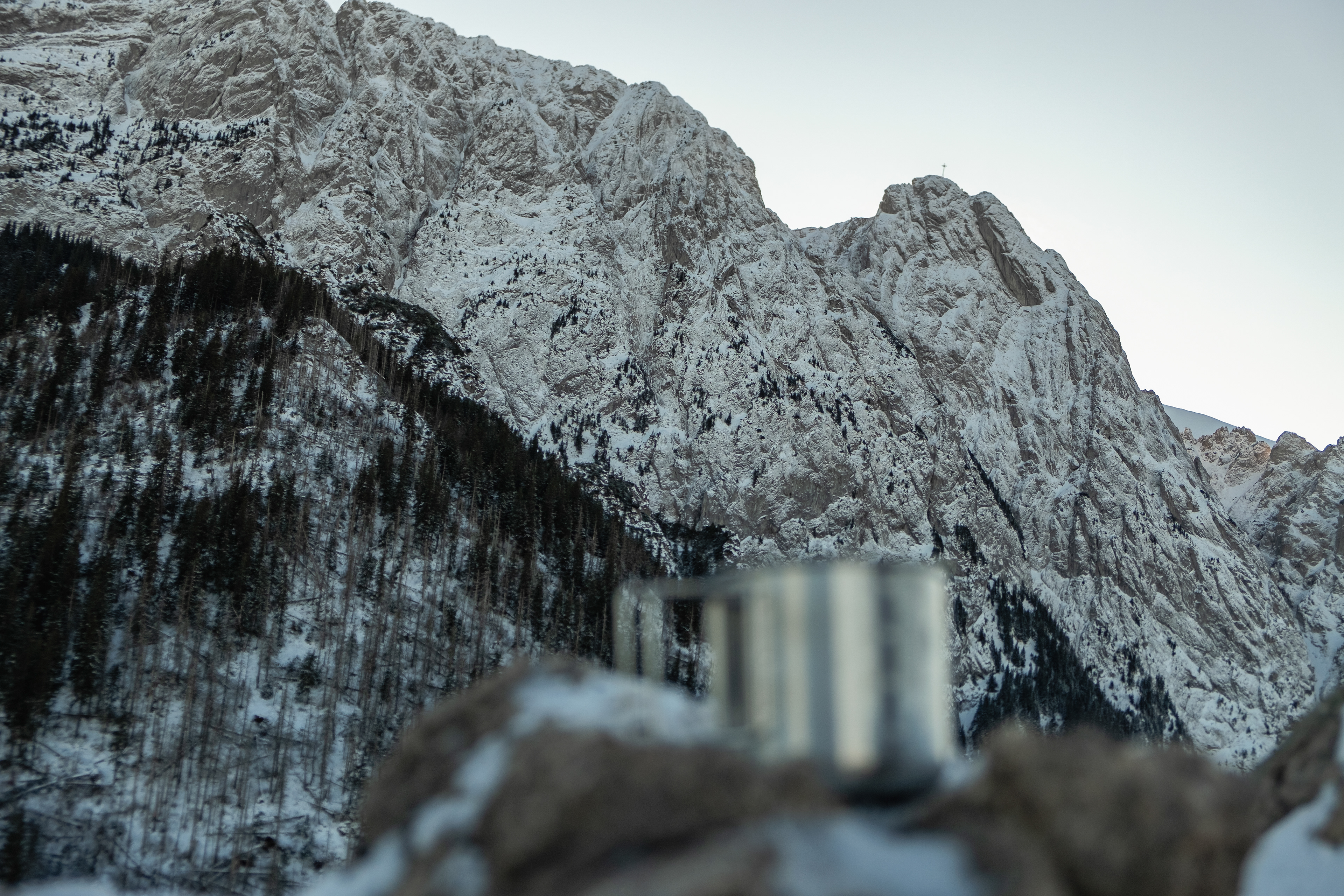
A shelter house near the main Morskie Oko shelter/restaurant, January 2026.
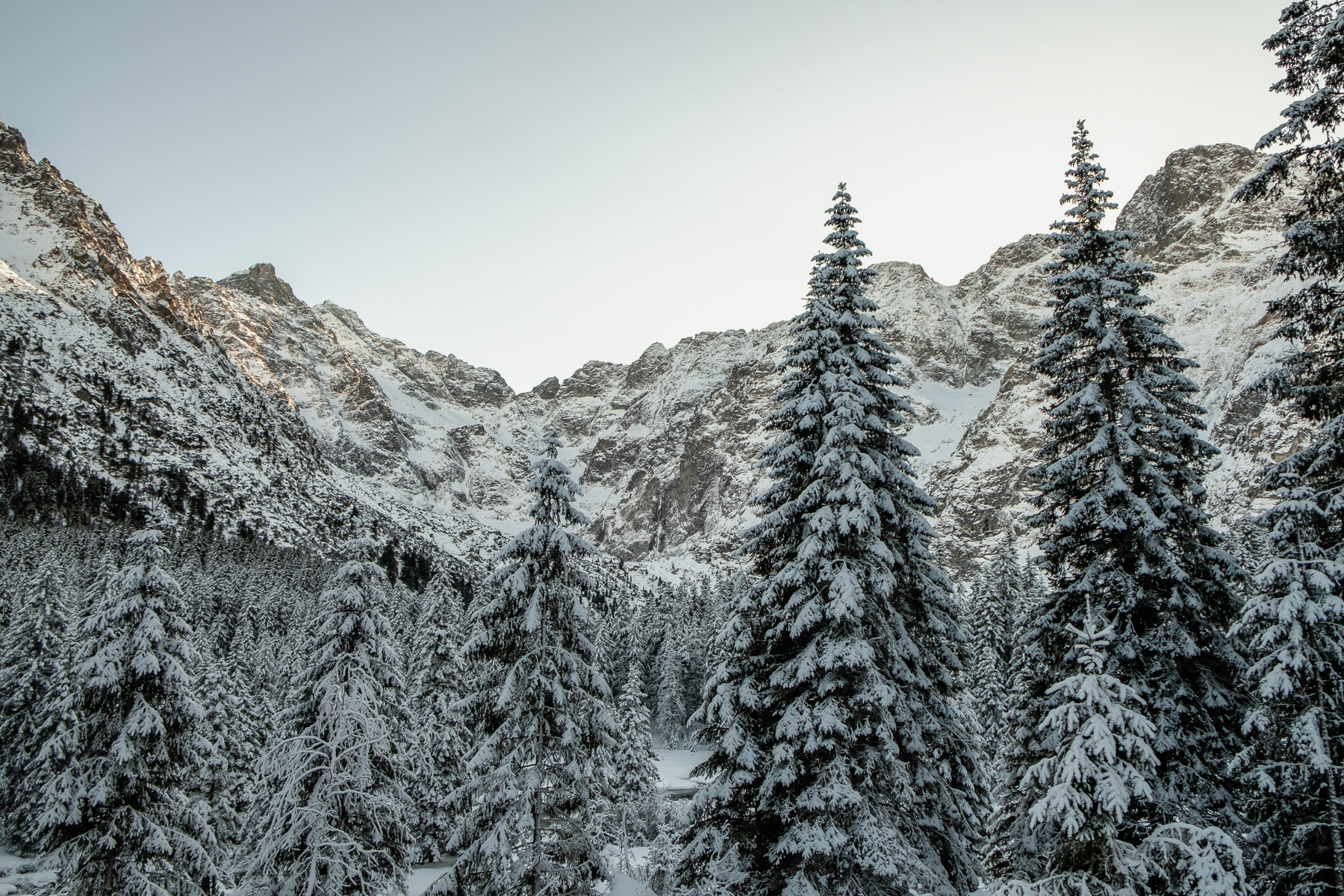
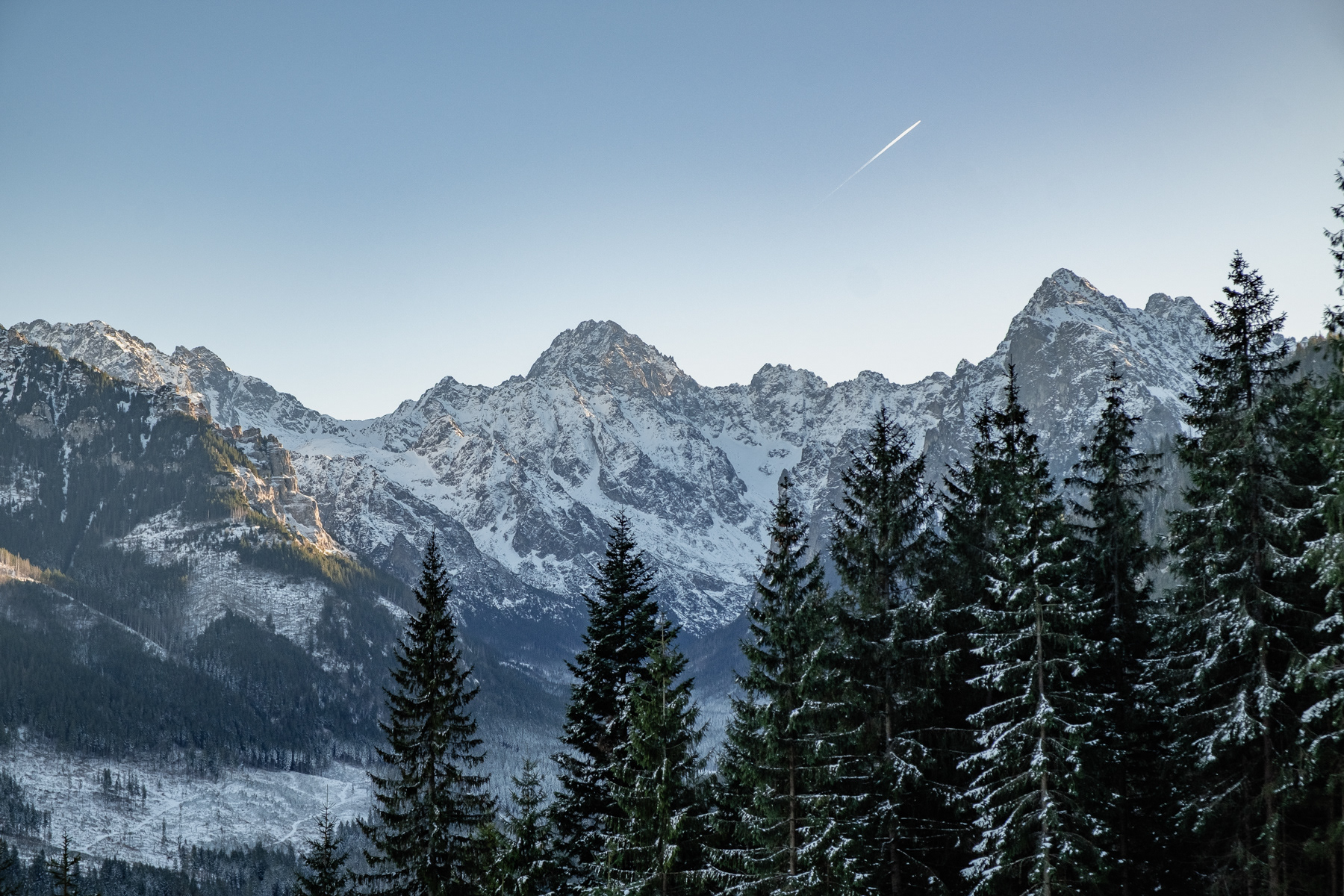
Towering Tatra Mountains at the Slovakian side, seen from the route near Morskie Oko on the Polish side, January 2026.
View into the valley roughly halfway up to Rusinowa Polana, December 2025.
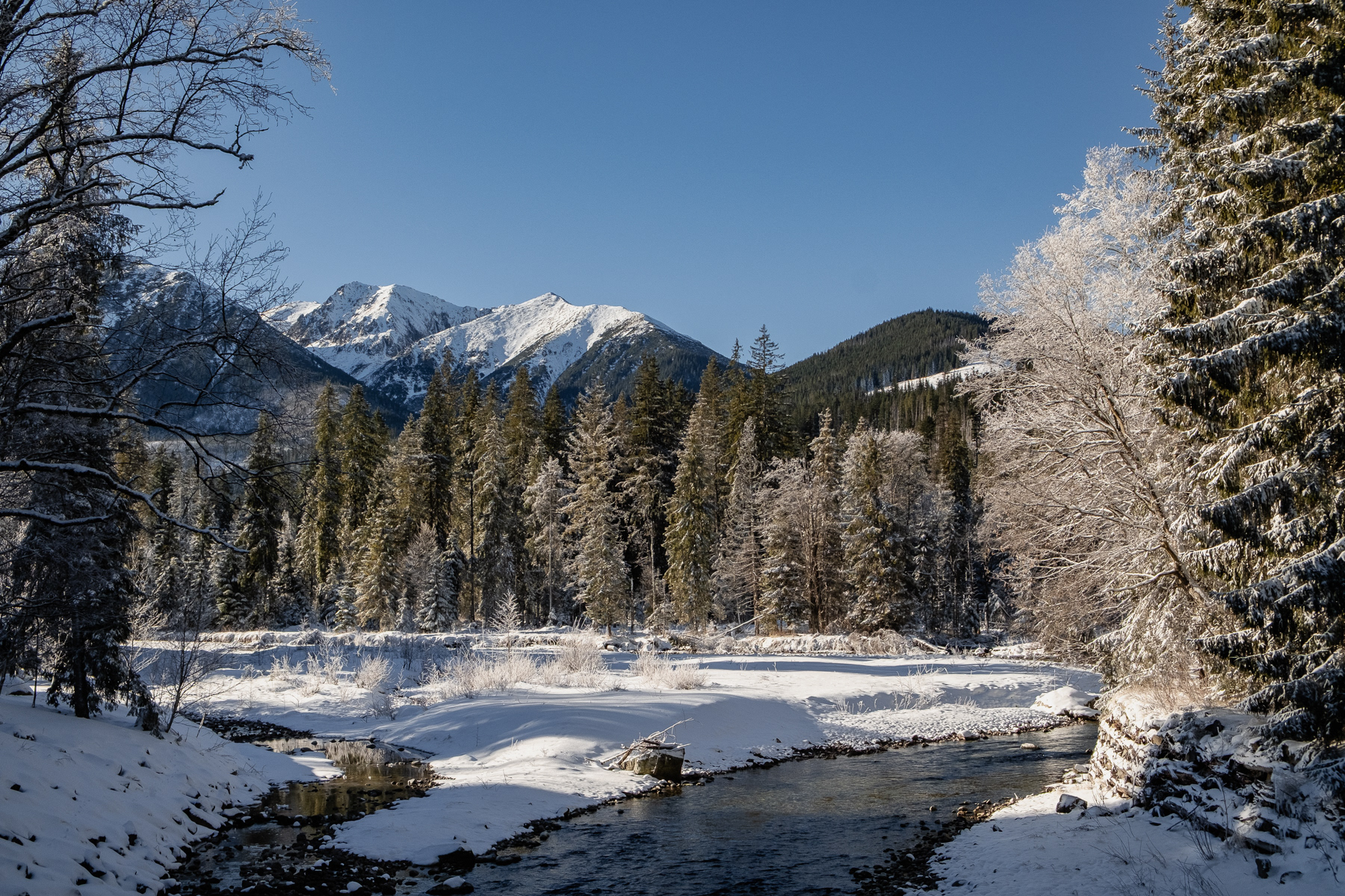
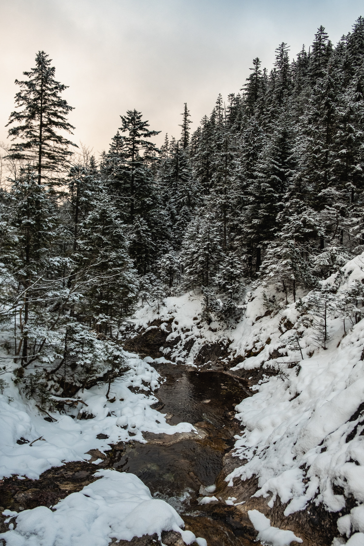
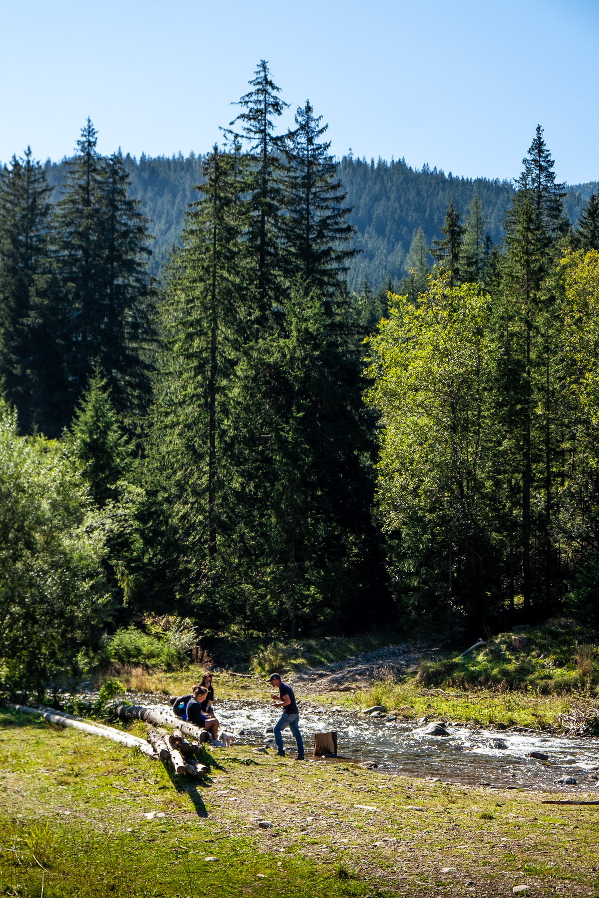
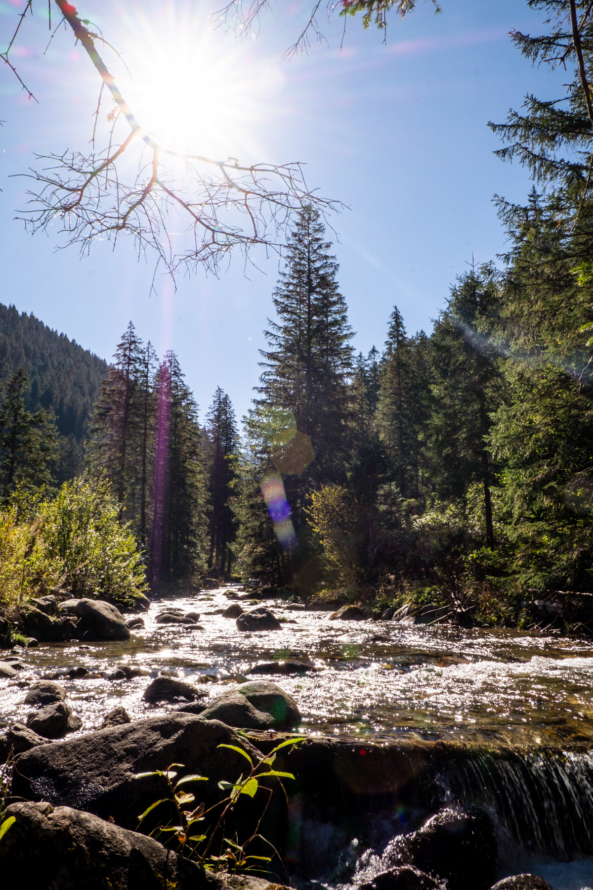
The stream further down.
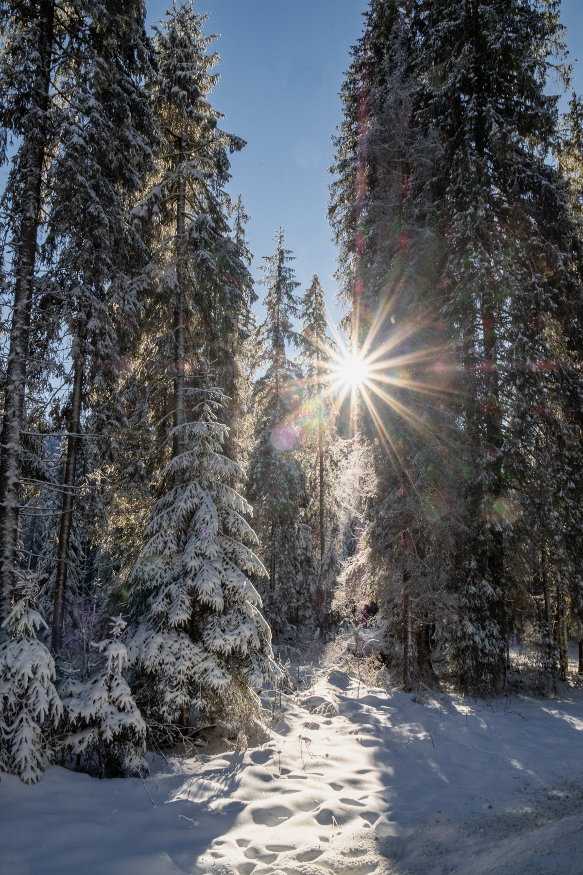
End of December sunshine.
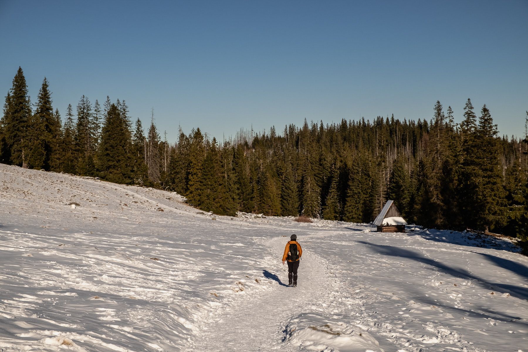
Views from Rusinowa Polana, December 2025.
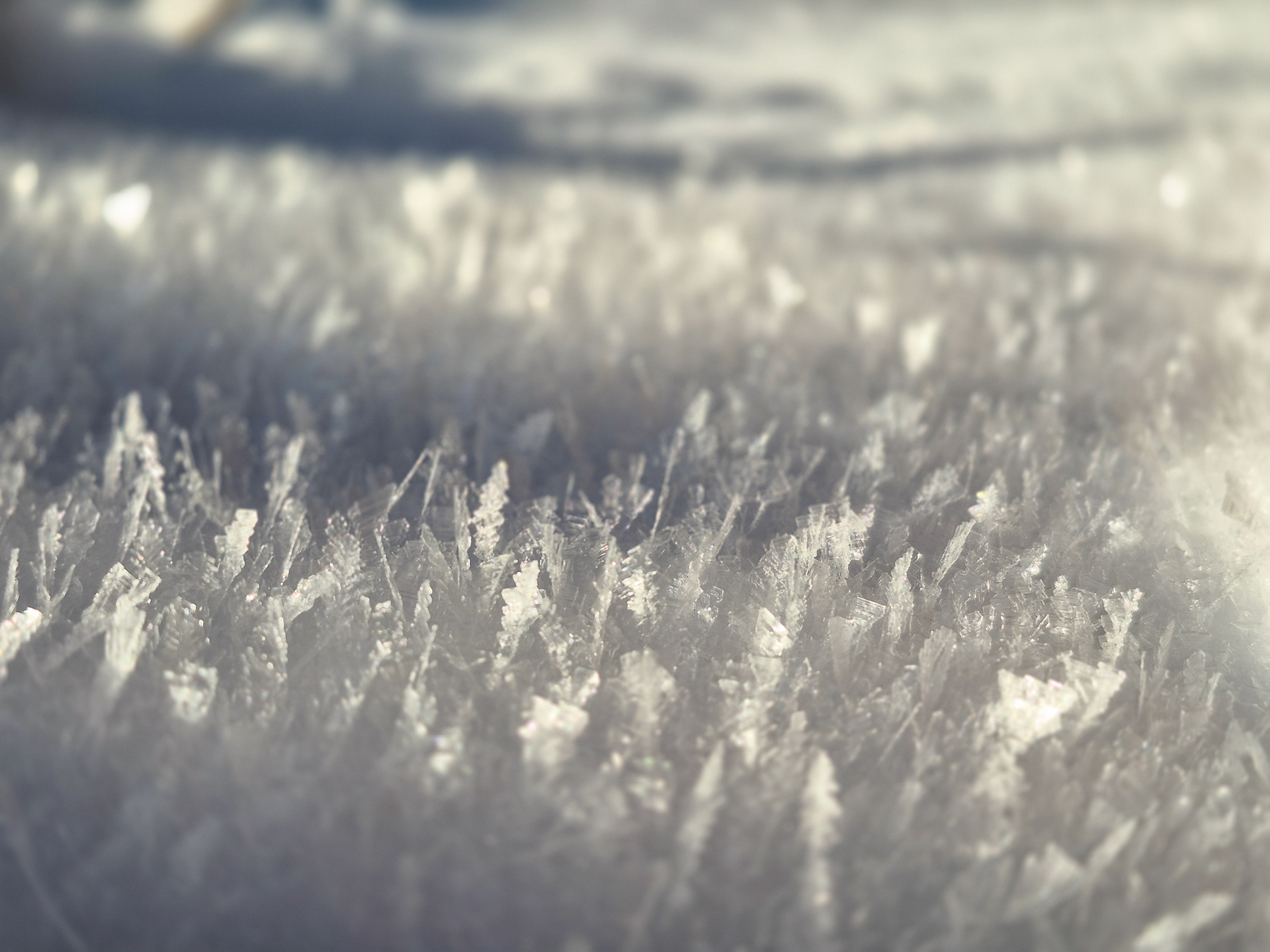
Close-up of feather-looking snow.
View from Rusionwa Polana, December 2025.
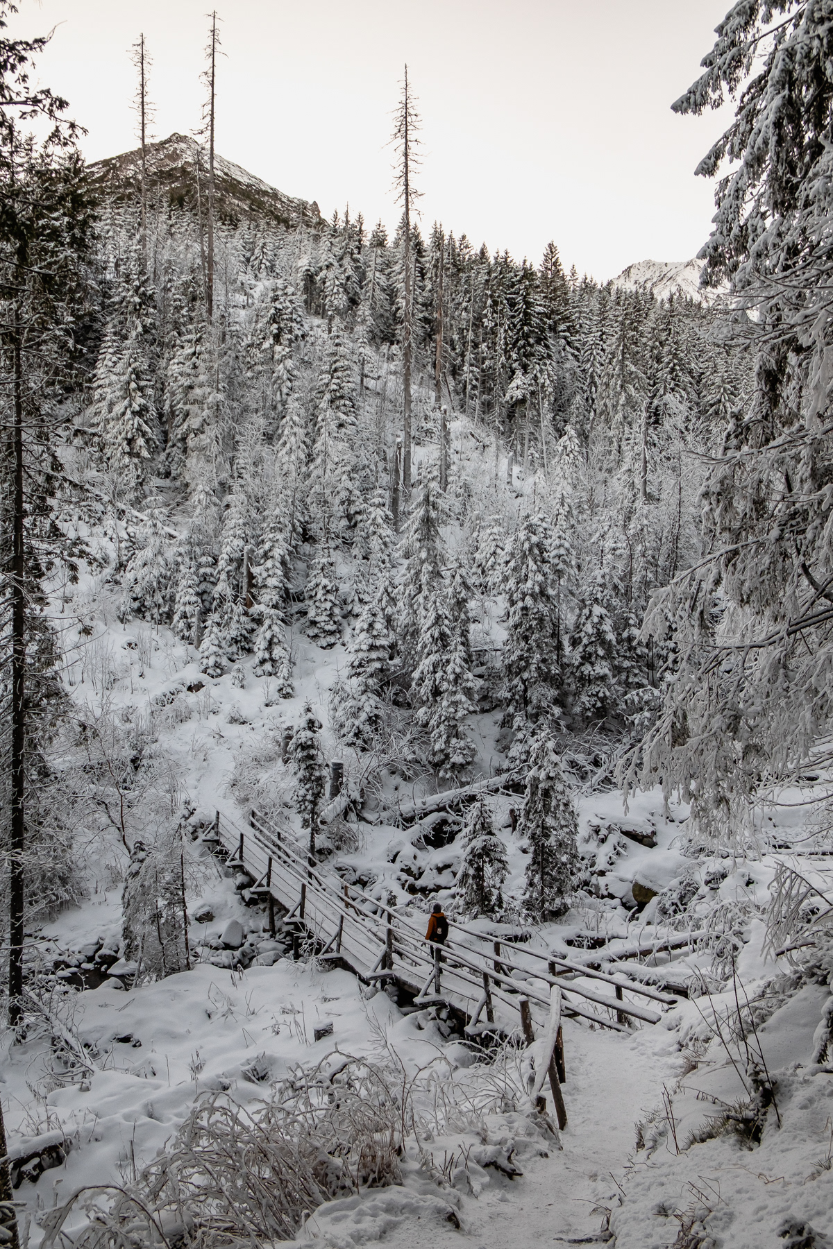
Small bridges make the walk down towards the waterfalls easy.
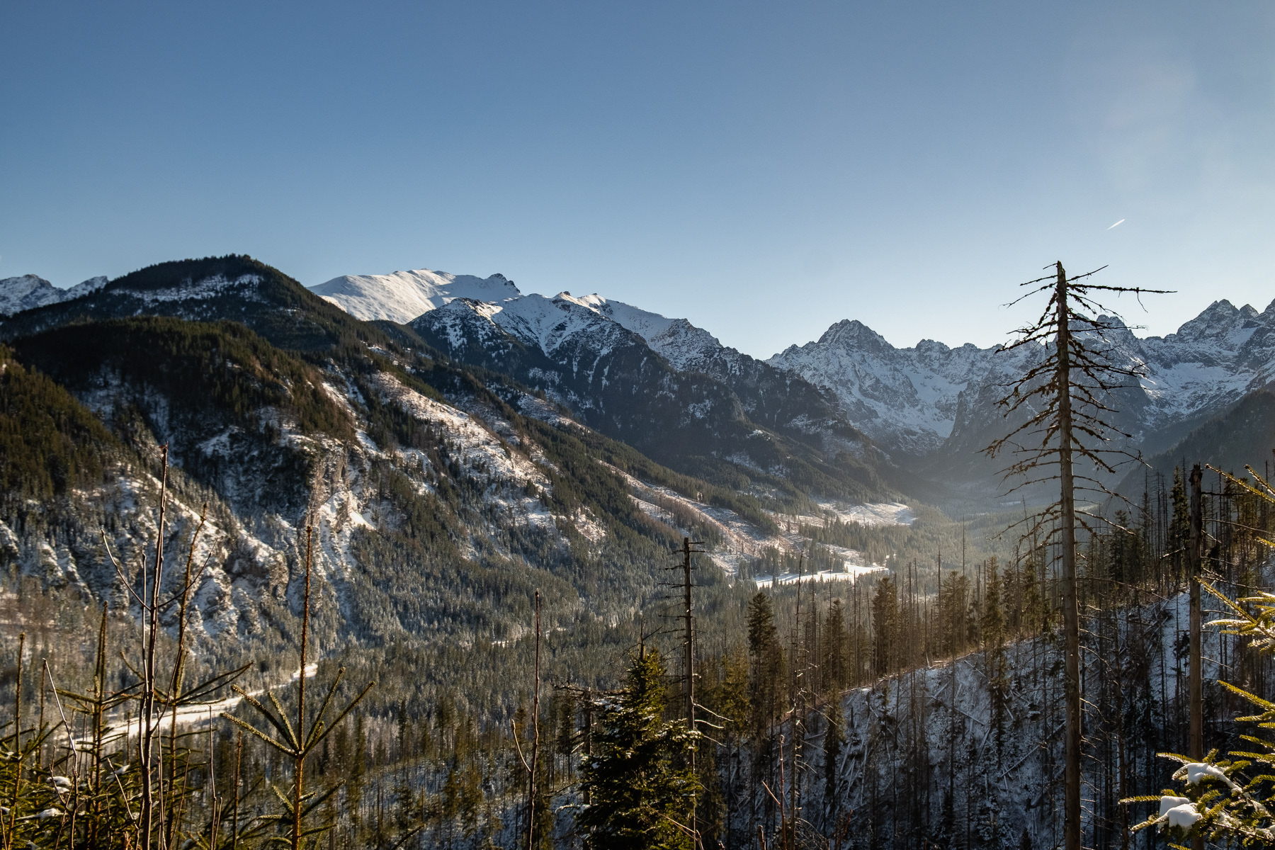
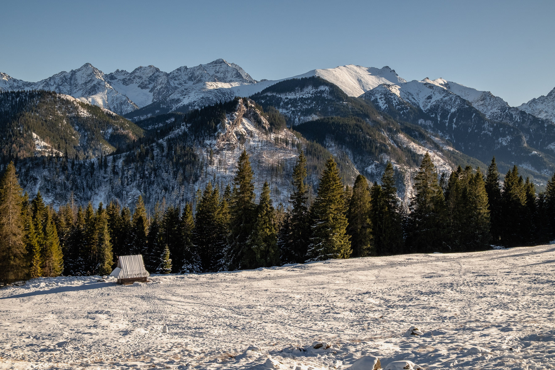
View at the high Tatras on the way down from Rusinowa Polana, December 2025.
Schronisko w Dolinie Roztoki, December 2025.
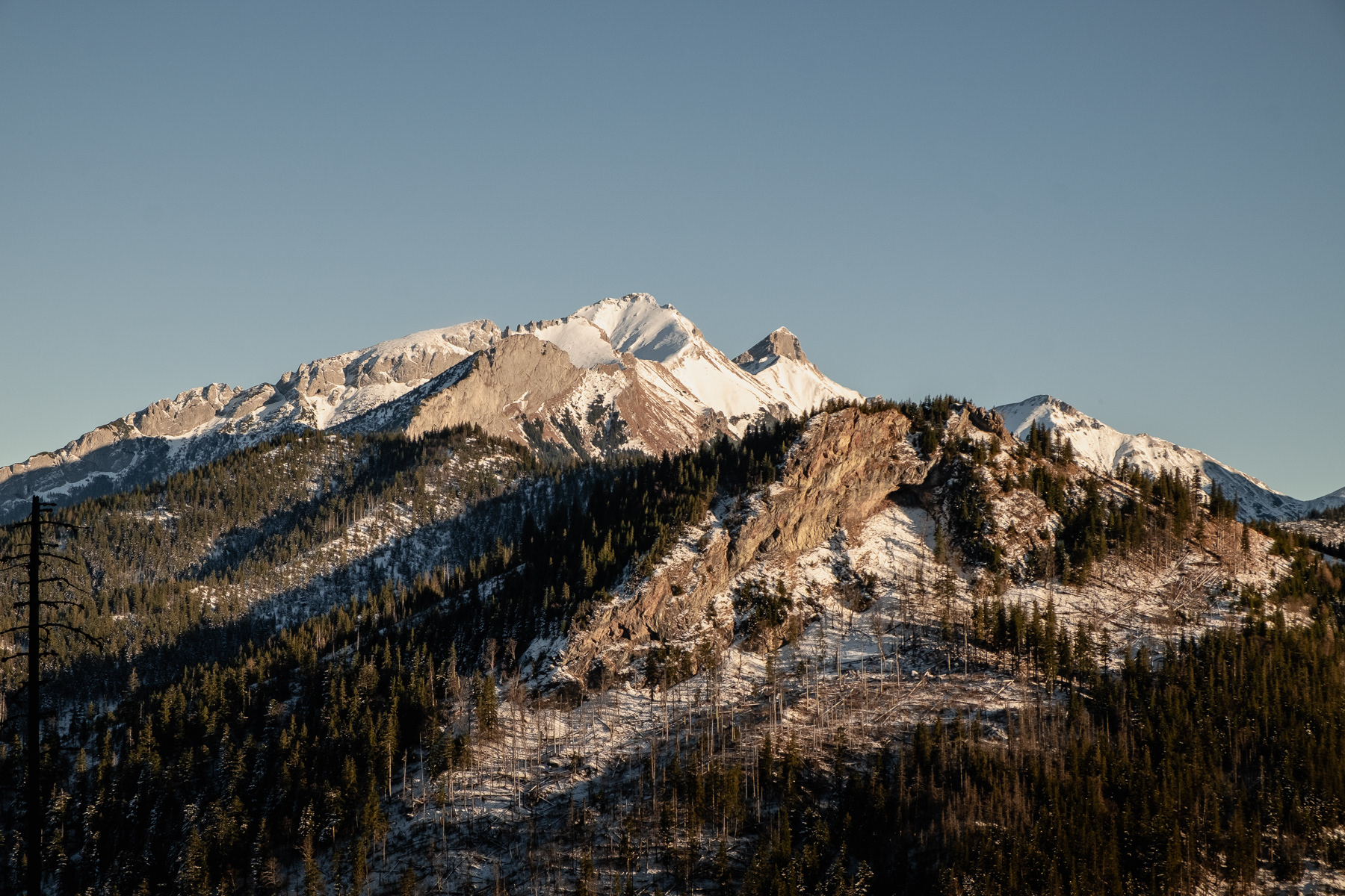
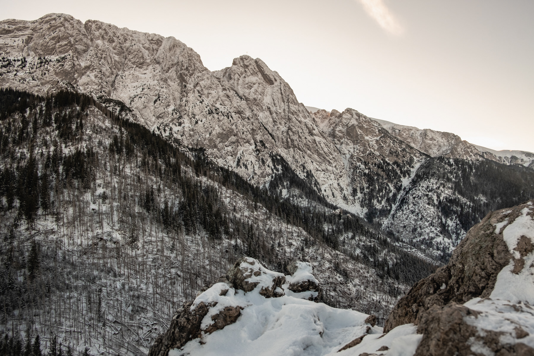
View at the eastern Tatras partly covered in snow from the hiike up to the Sarnia Skała peak
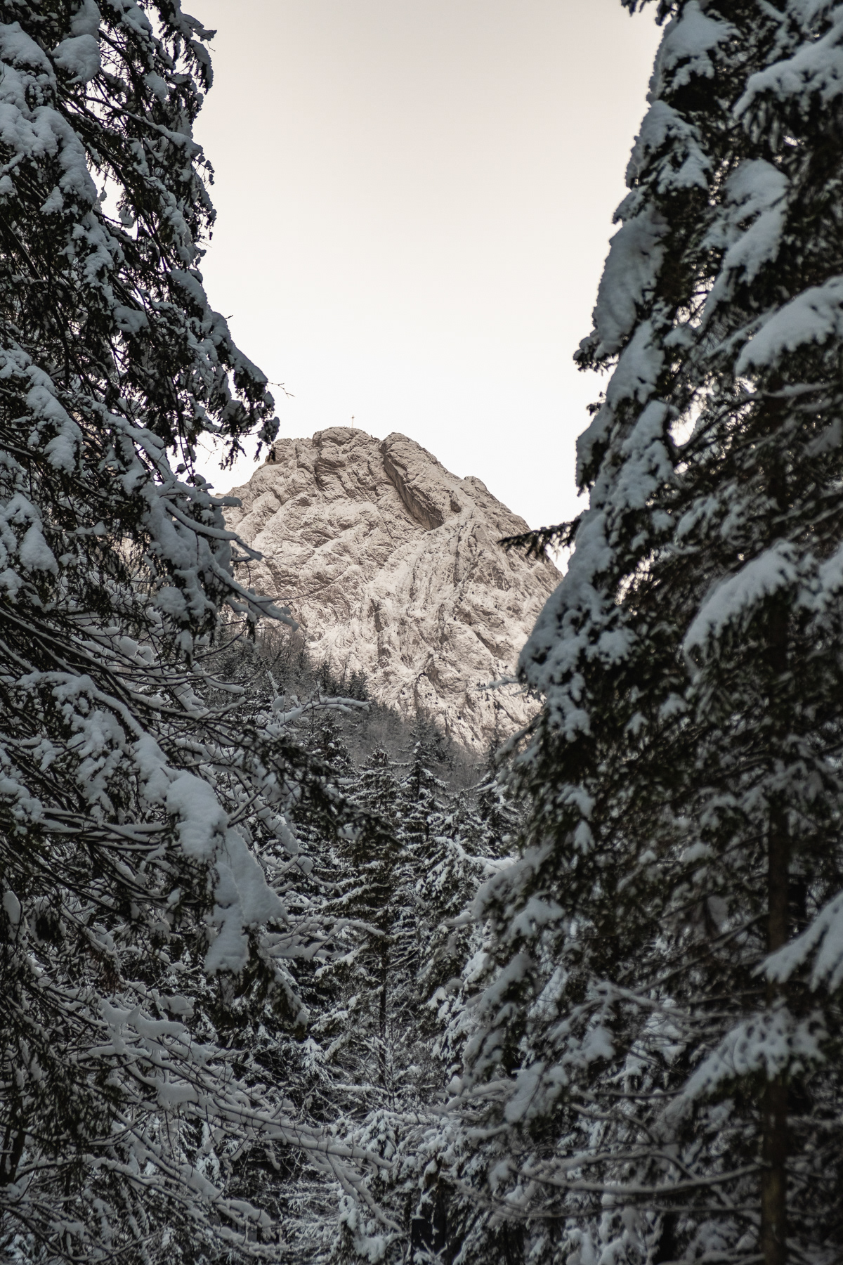
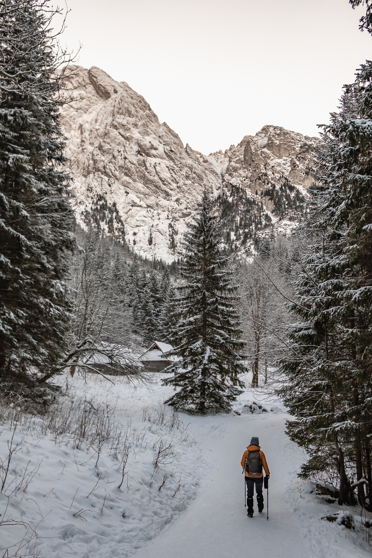
Mount Giewont announces itself early on the hike.
Just before the trail goes high up east, the Strążyska Valley has a small shelter for coffee or soup.
Mount Giewont seen from the Strążyska Valley trial
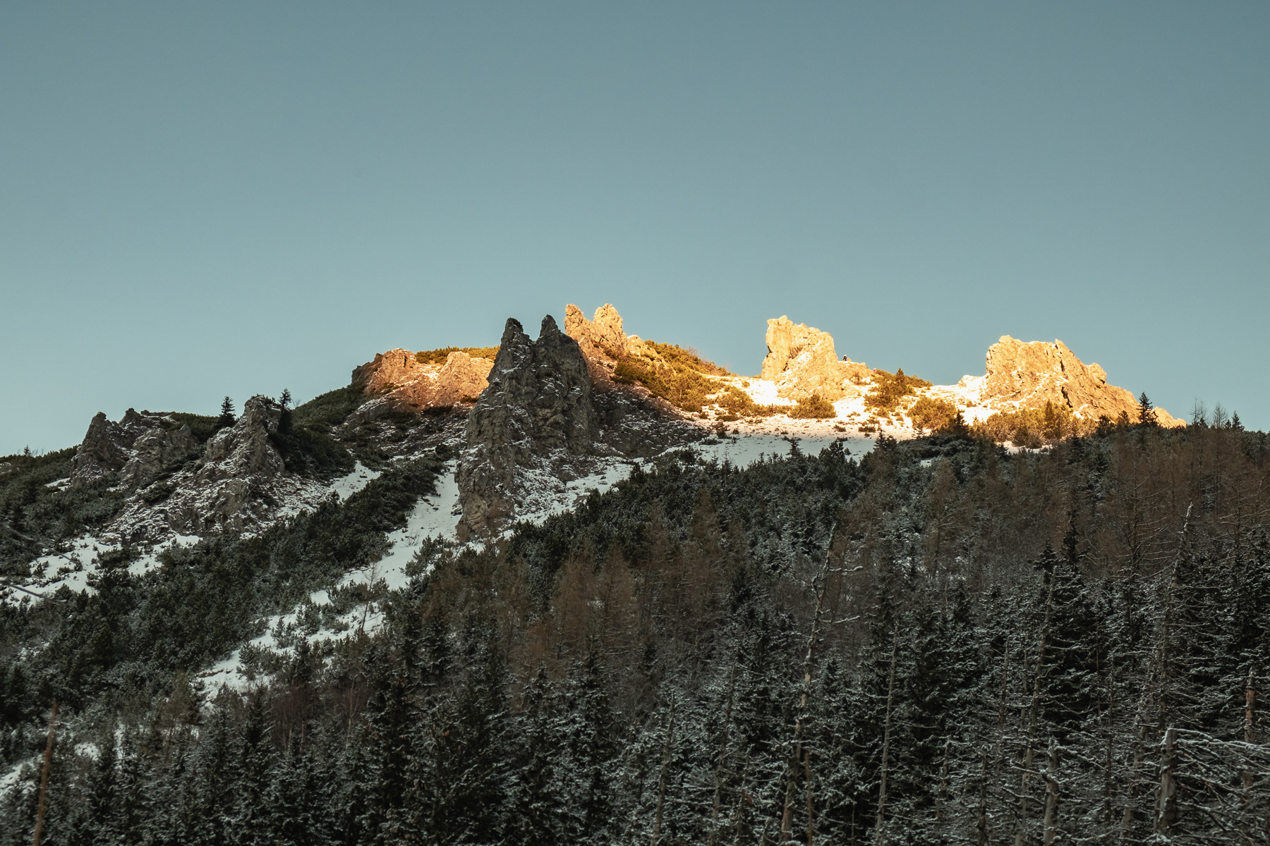
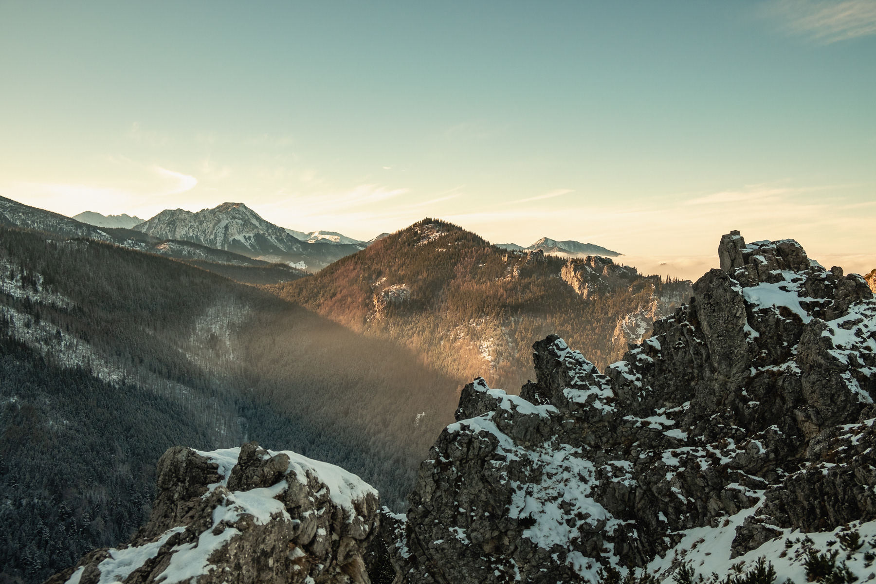
Sarnia Skała sticks out like a pointy crown.
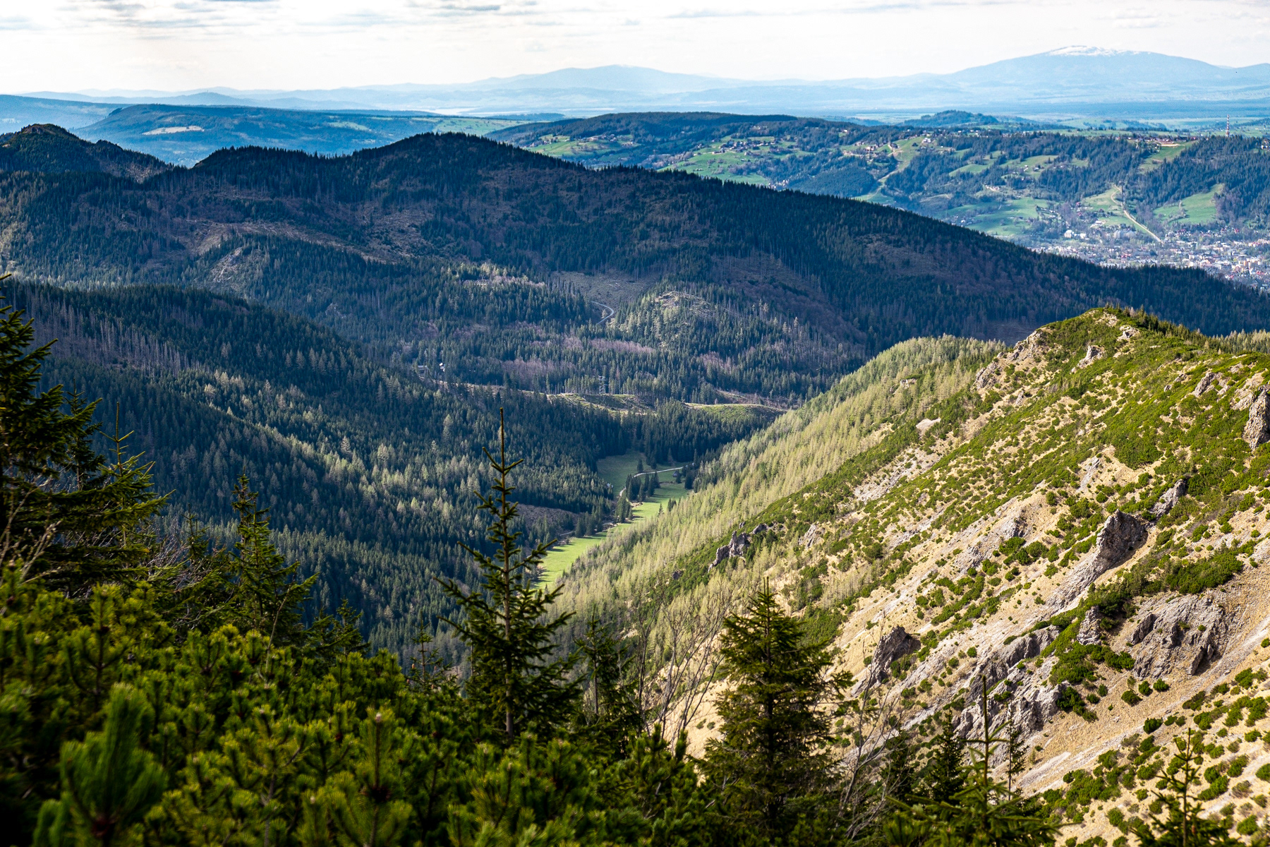
While hiking up to Sarnia Skała one is already treated on great view towards the higher Tatras further east.
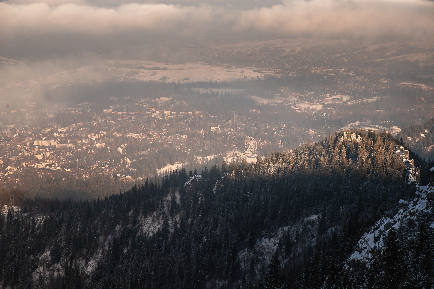
The ferris wheel in Zakopane is clearly visible from the peak
Time for a break on top of Sarnia Skała, with a clear view of the northern wall of Mount Giewont

The slow sunset leads to stunning views to the west.
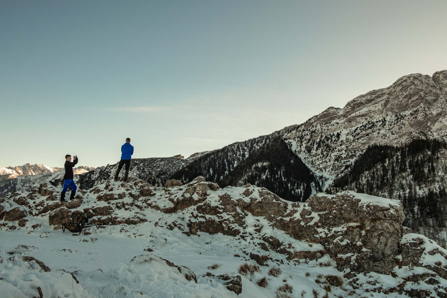
Several hikers wanted to immortalise themselves in a photo with Mount Giewont.
Another take of Mount Giewont. Seen from furher afar it looks like a sleeping knight's head.
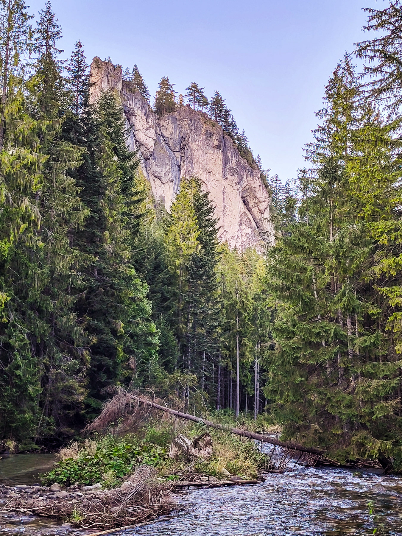
The Białego Valley has some cute turns and twists
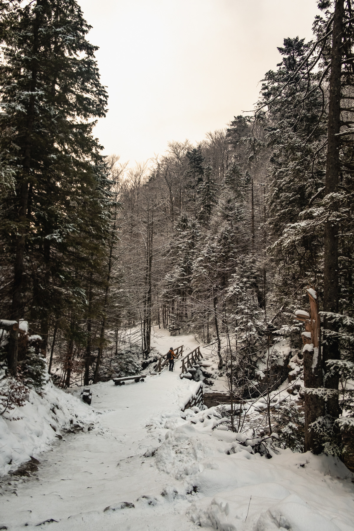
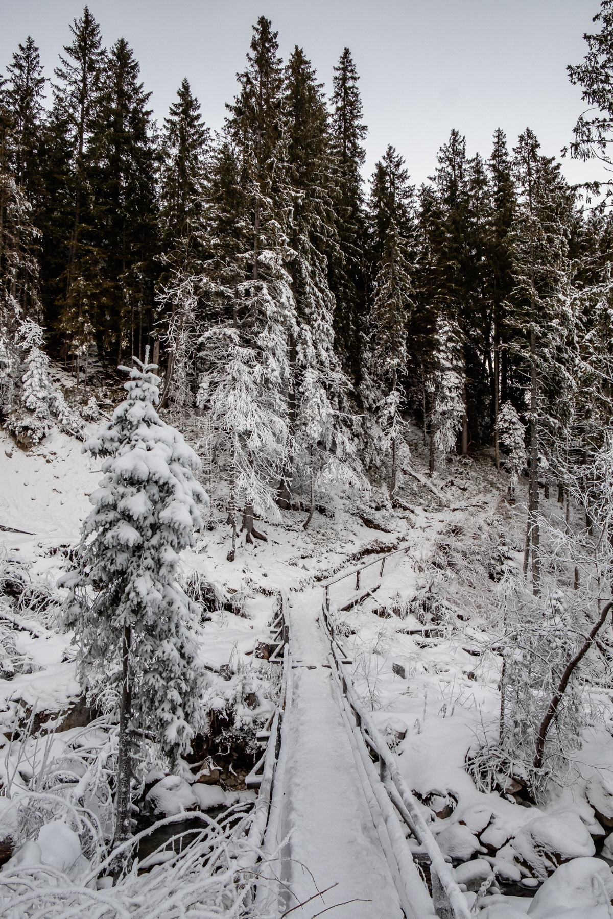
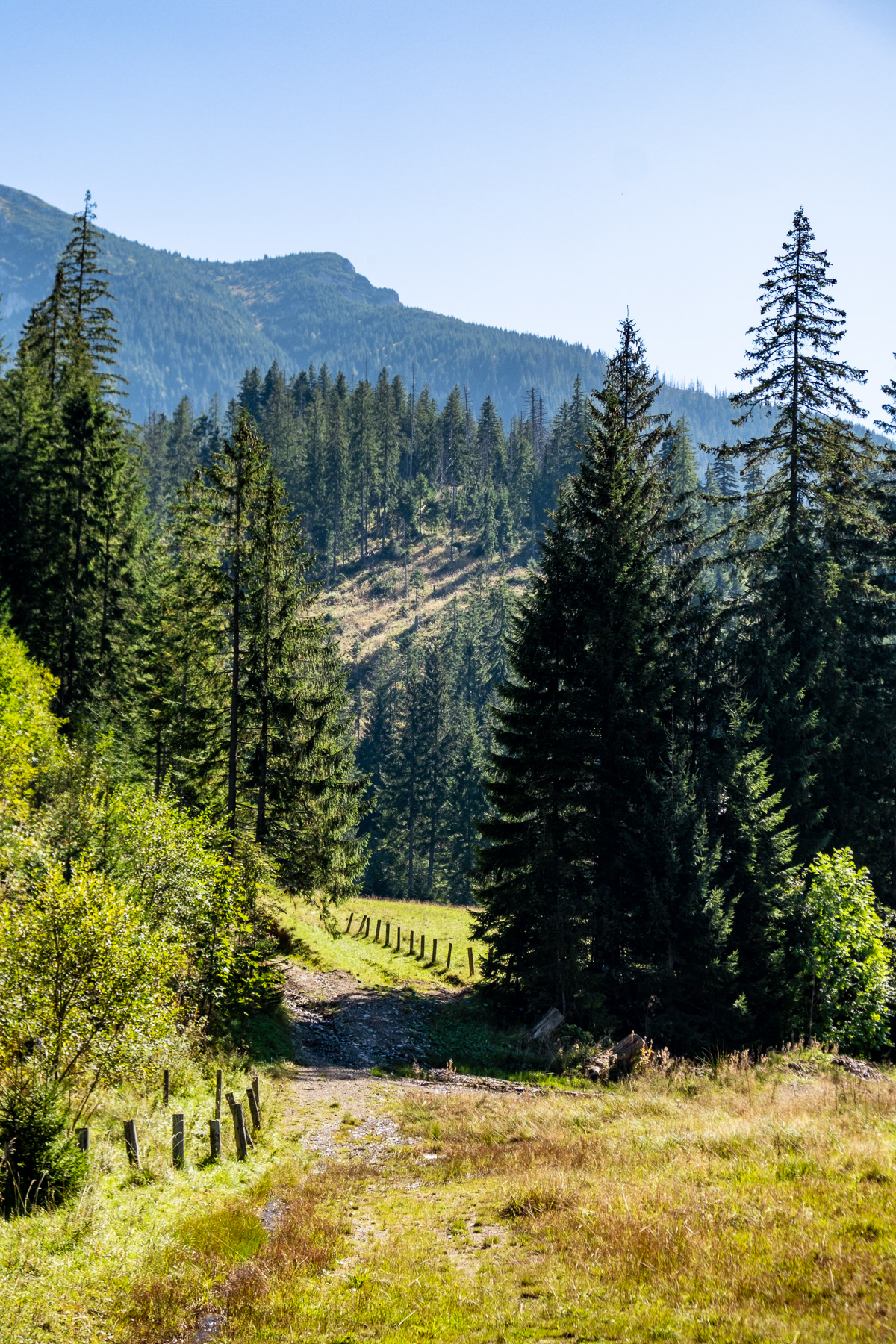
Small bridges makes the lower part of the trails an easy hike.
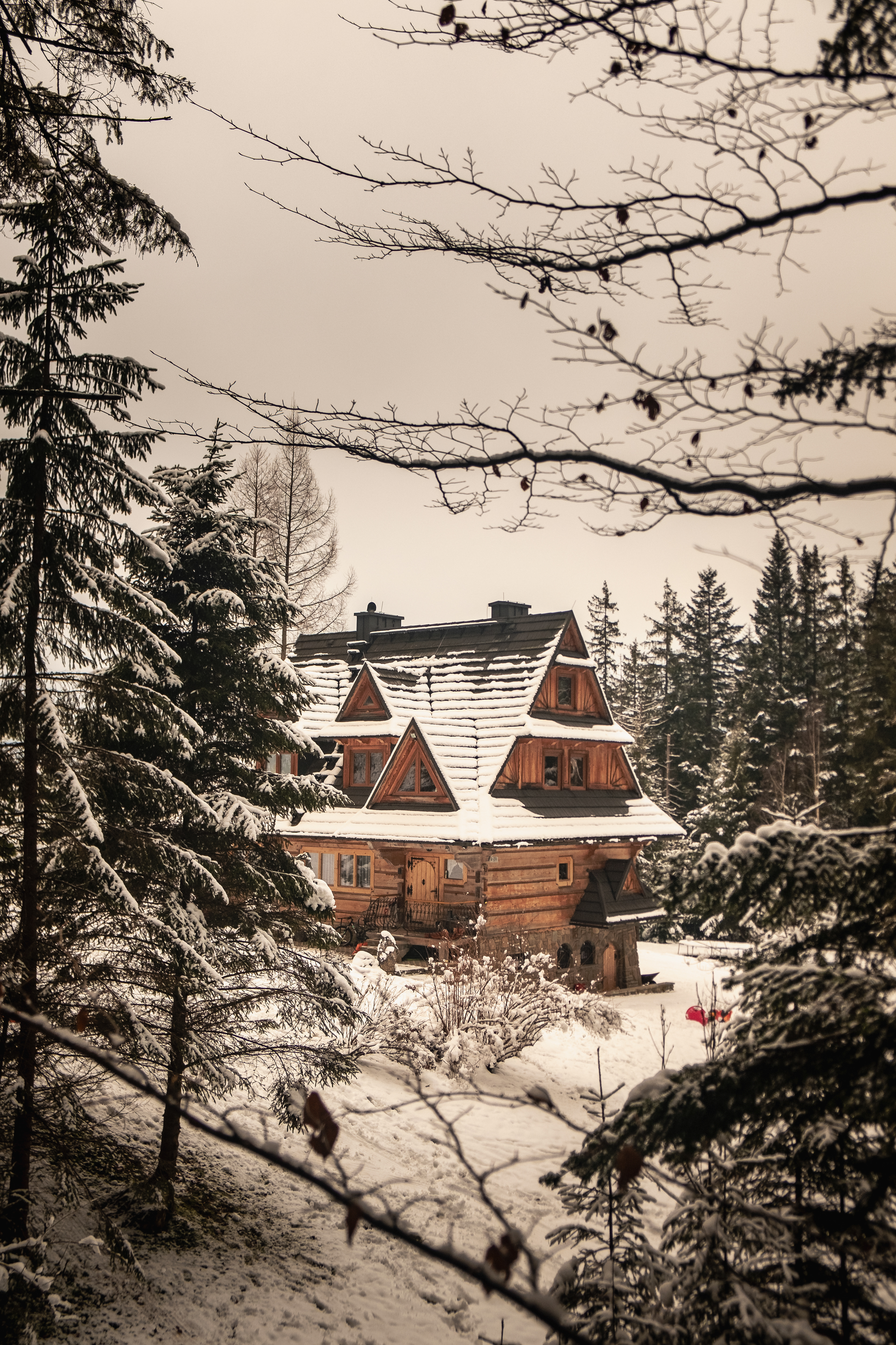
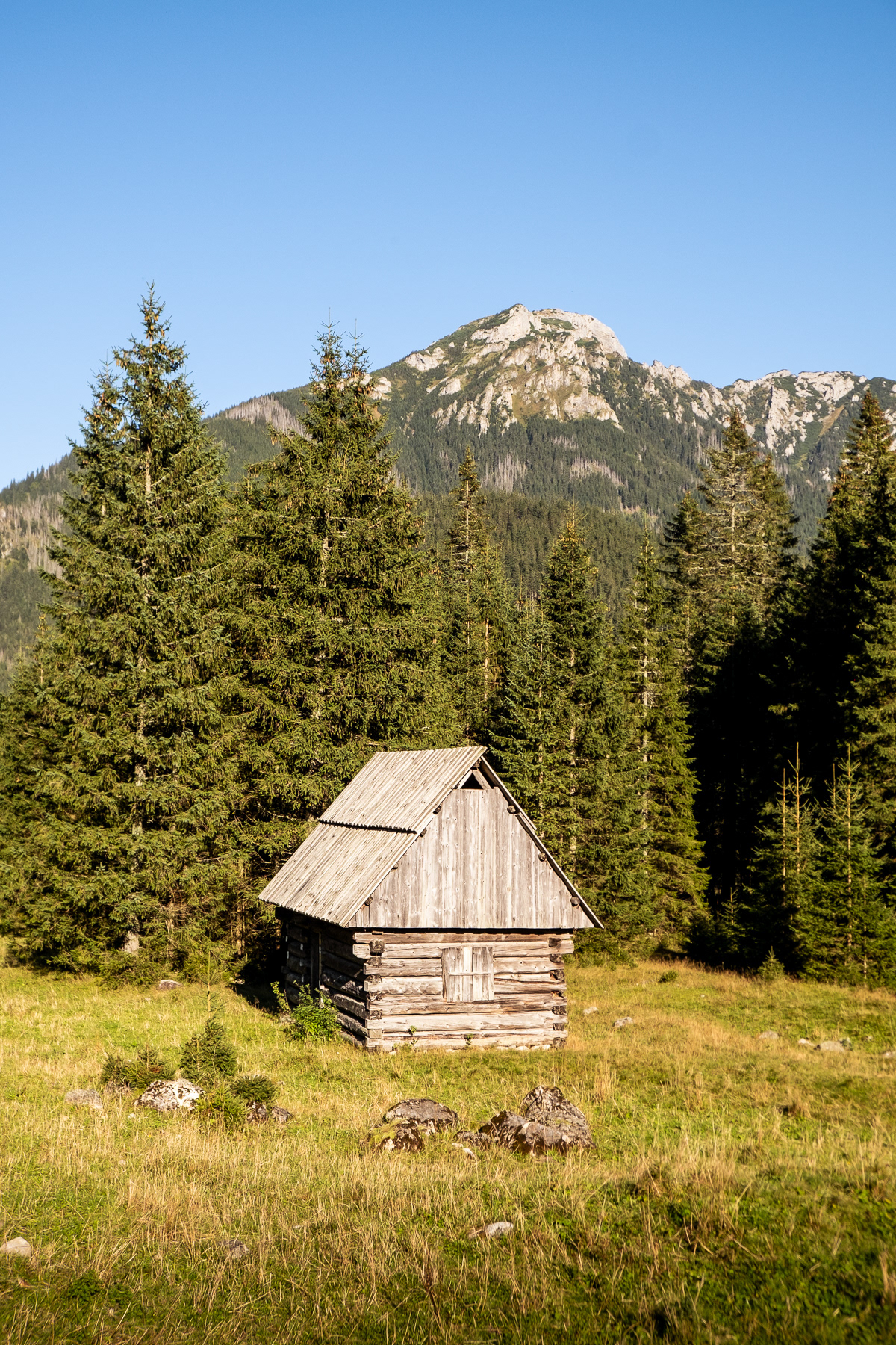
A typical wooden house of the Polish Tatra Mountains region at the end of the trail.
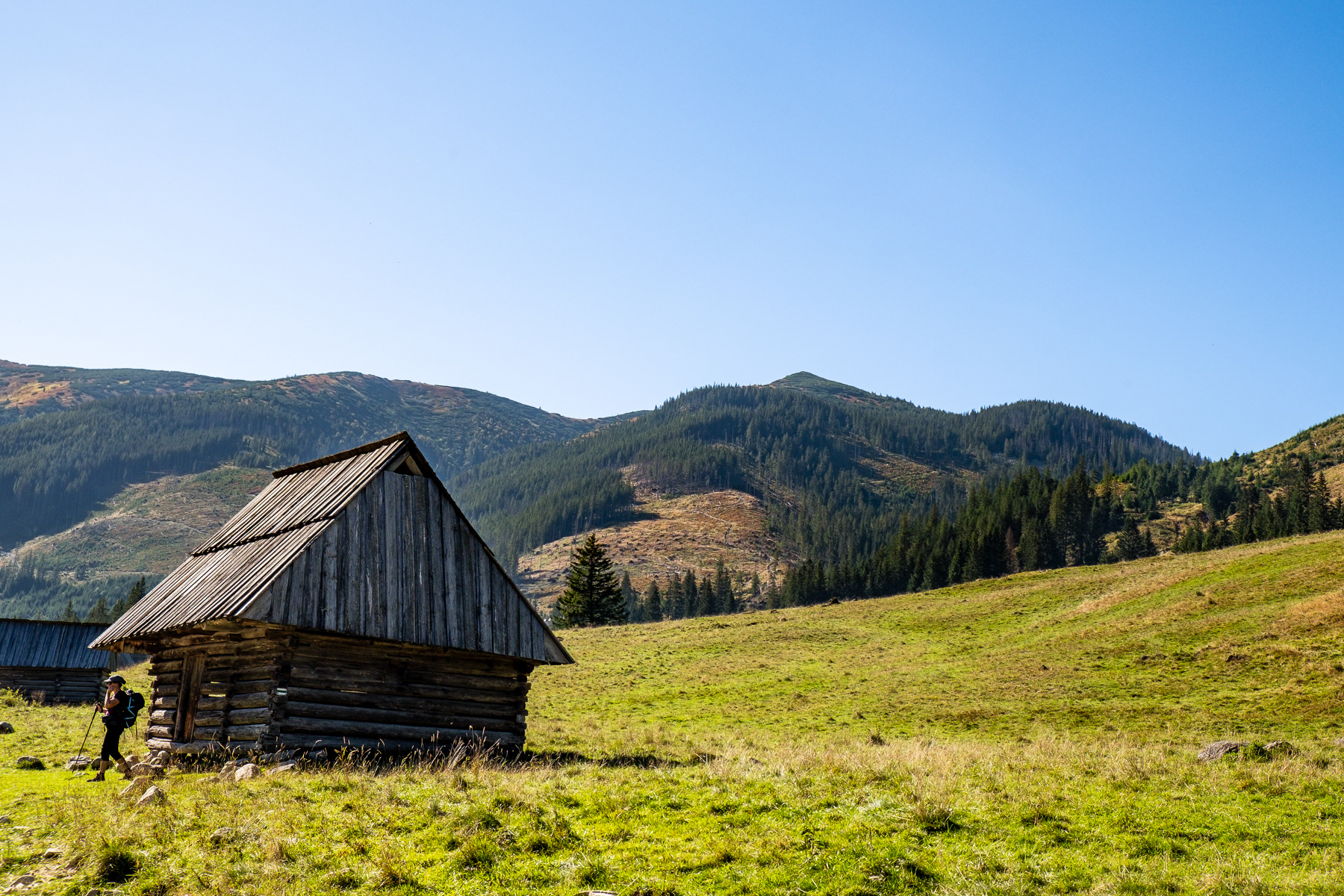
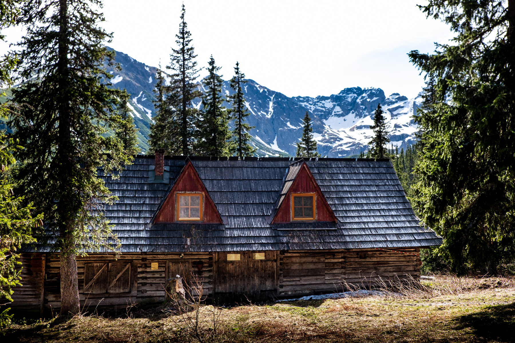
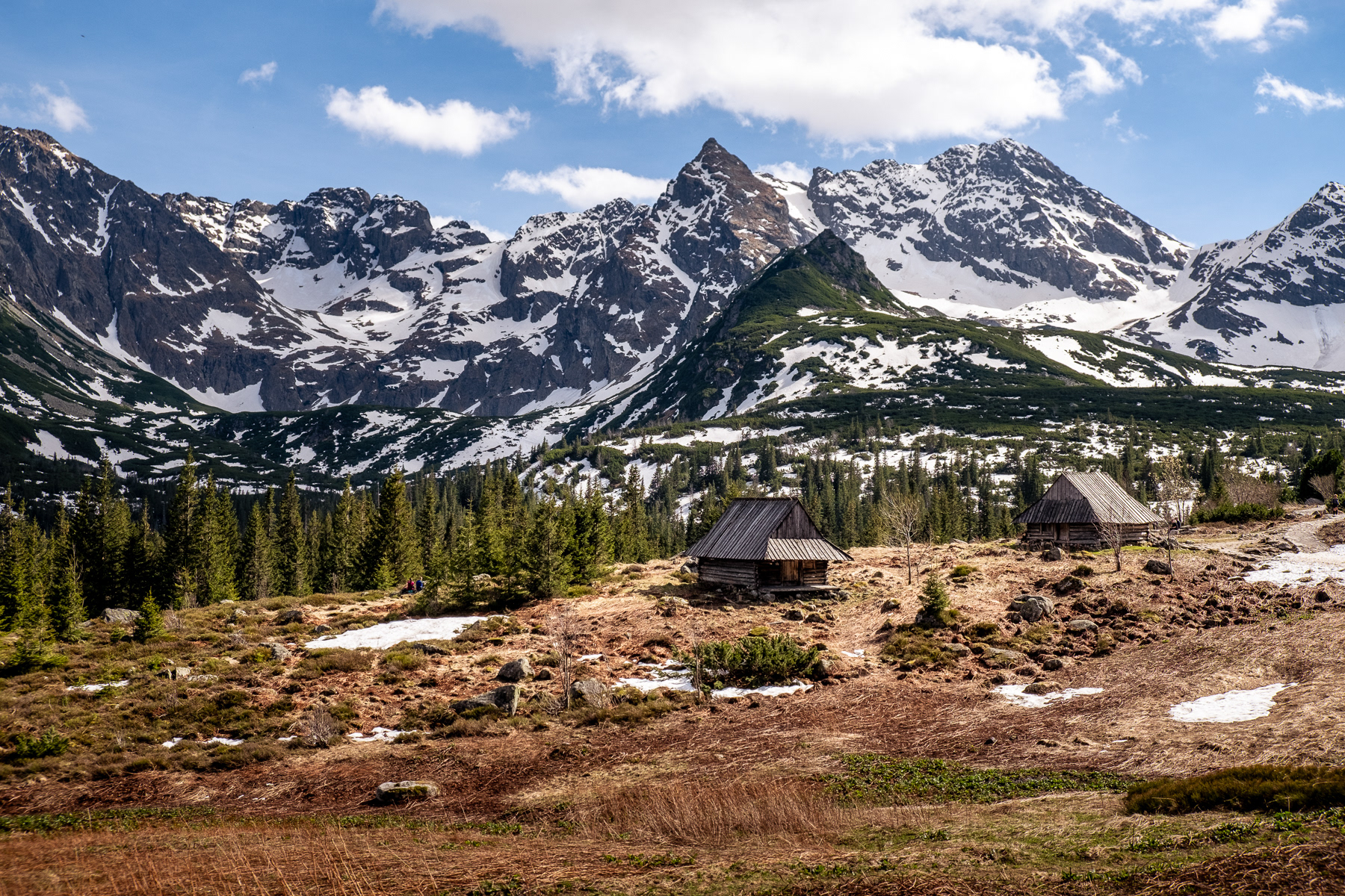
A storage house near the Schronisko Murowaniec.
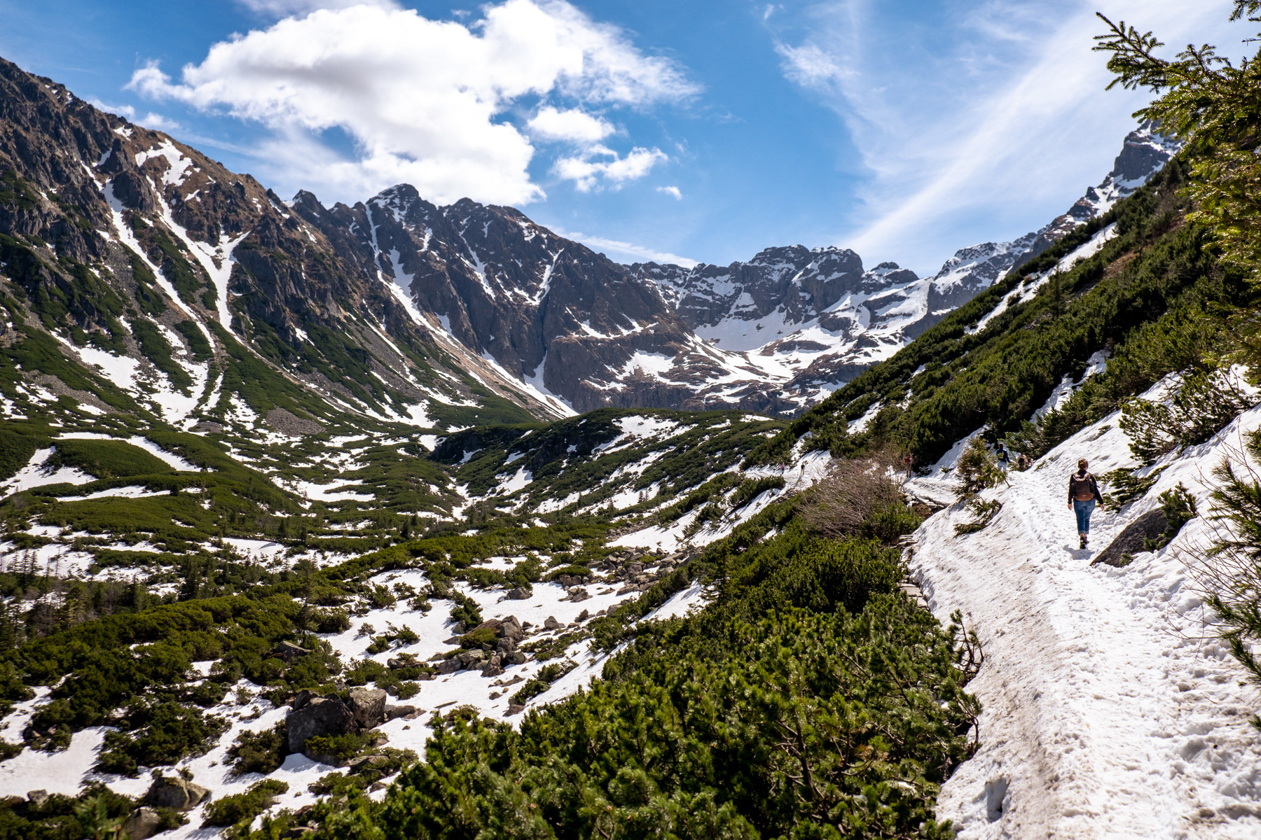
The Tatras coming up close when one sets out from Schronisko Murowaniec towards the mountain lake of Czarny Staw Gąsienicowy.
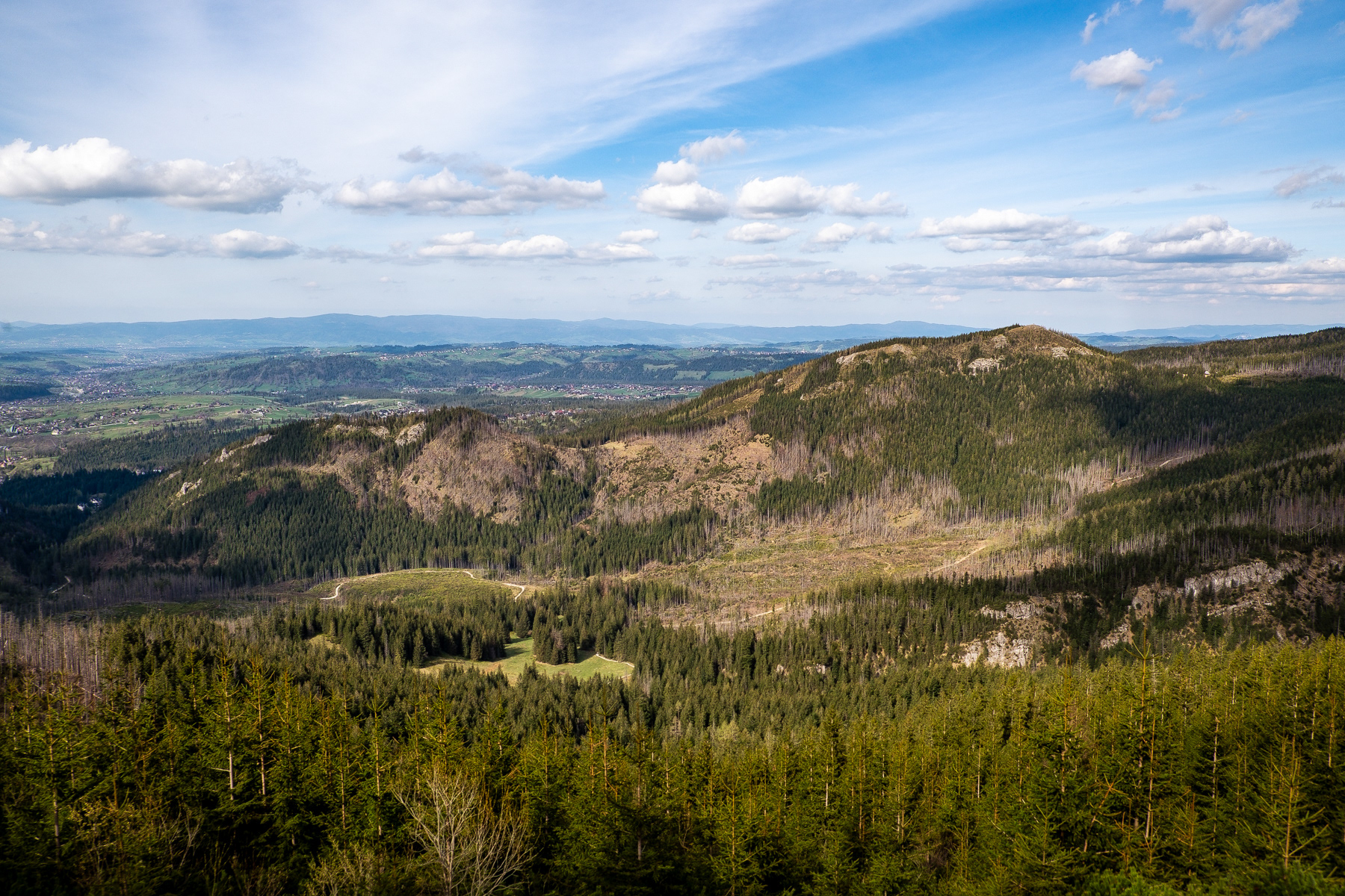
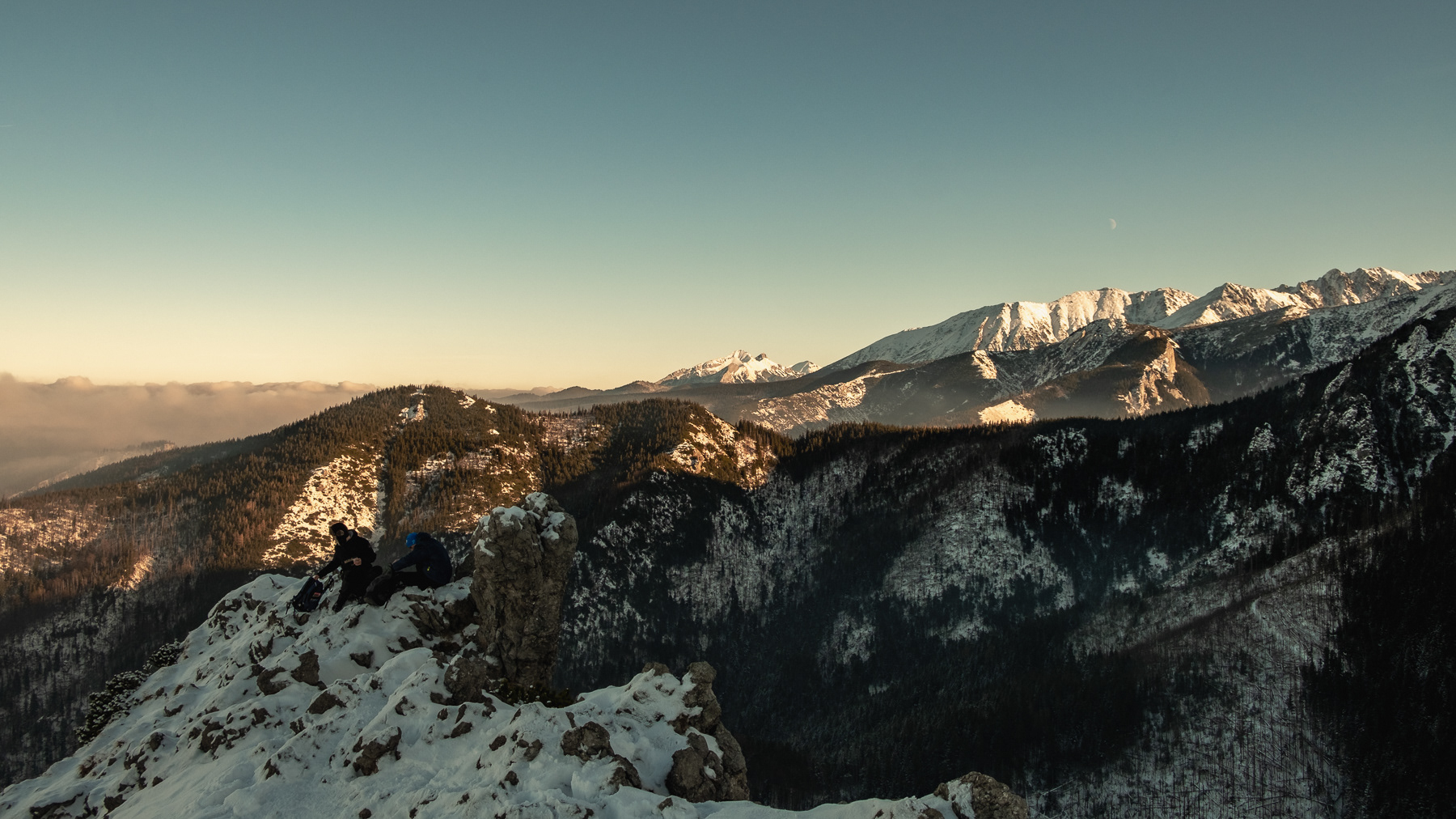
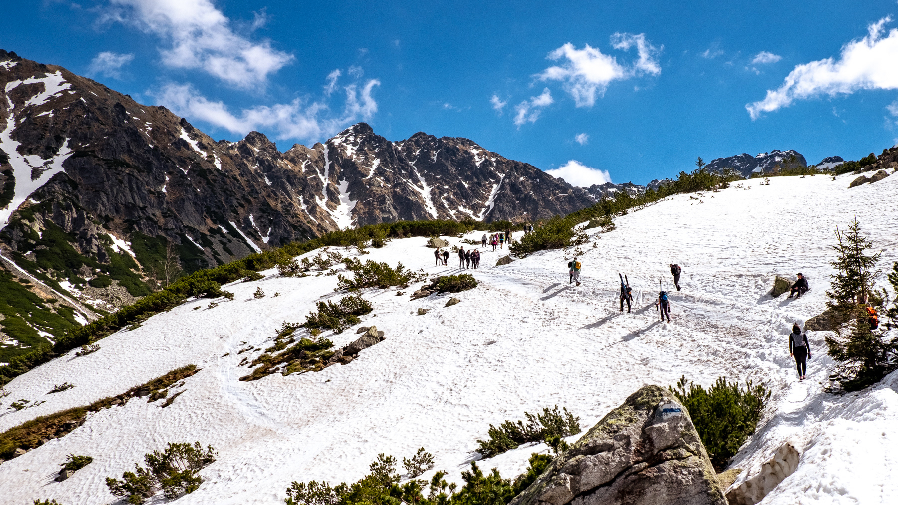
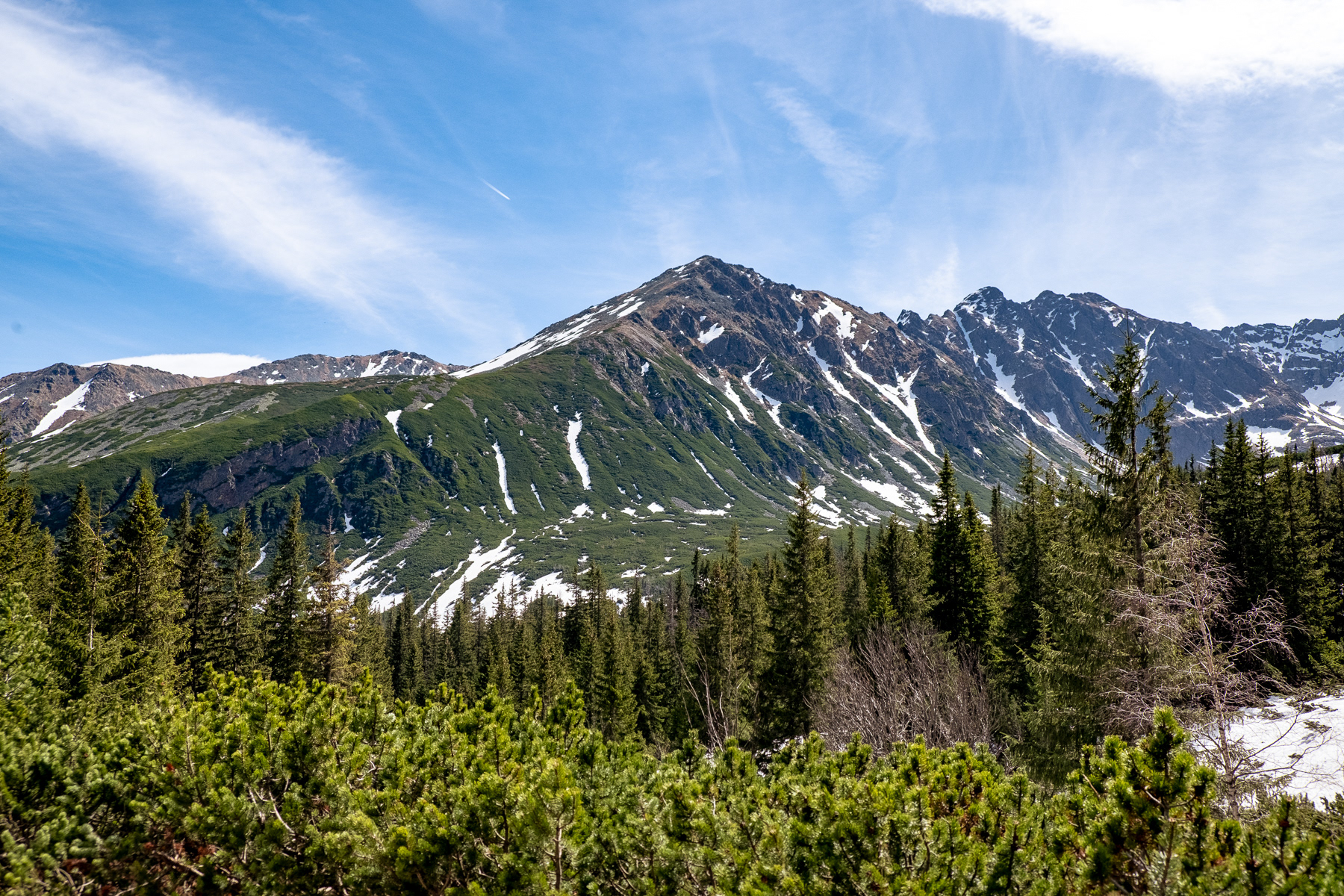
The best part of the blue trail is the ridge down from Y-crossing of Przelecz miedzy Kopami at almost 1,500 metres ASL. From the trail there are great views to the east, west and north, including at some of the famous mountain peaks of southern Poland.
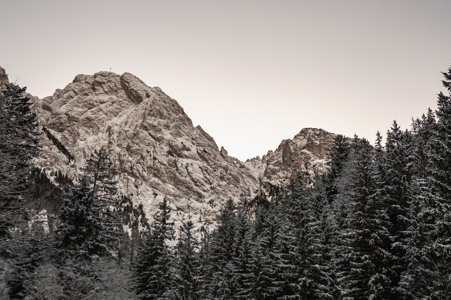
Second photo: the cross on the top clearly visible, this is the legendary mountain peak of Giewont (nicknamed "the knight").