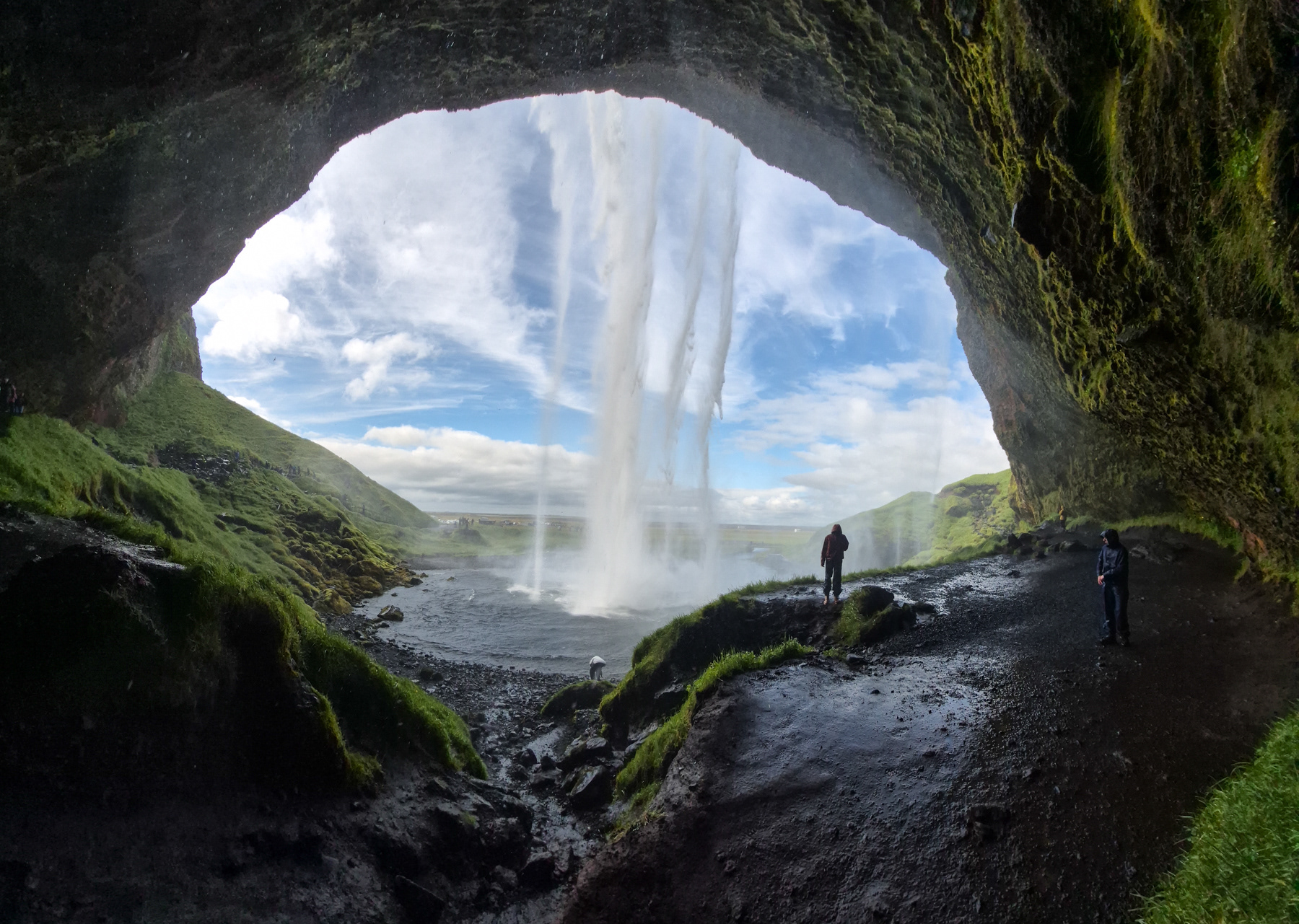
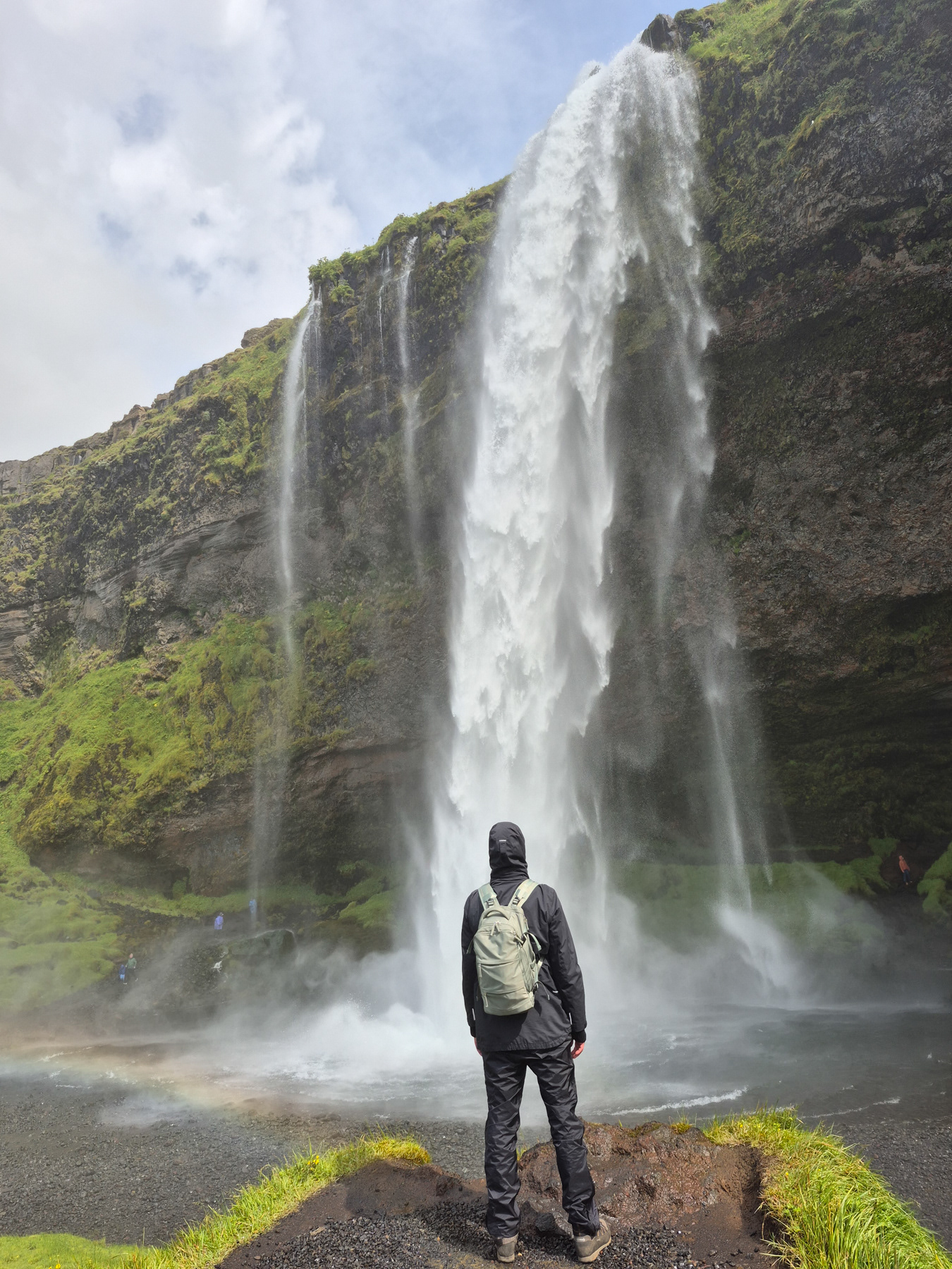
Seljalandsfoss waterfall, July 2025.
Seljalandsfoss waterfall, Iceland, July 2025
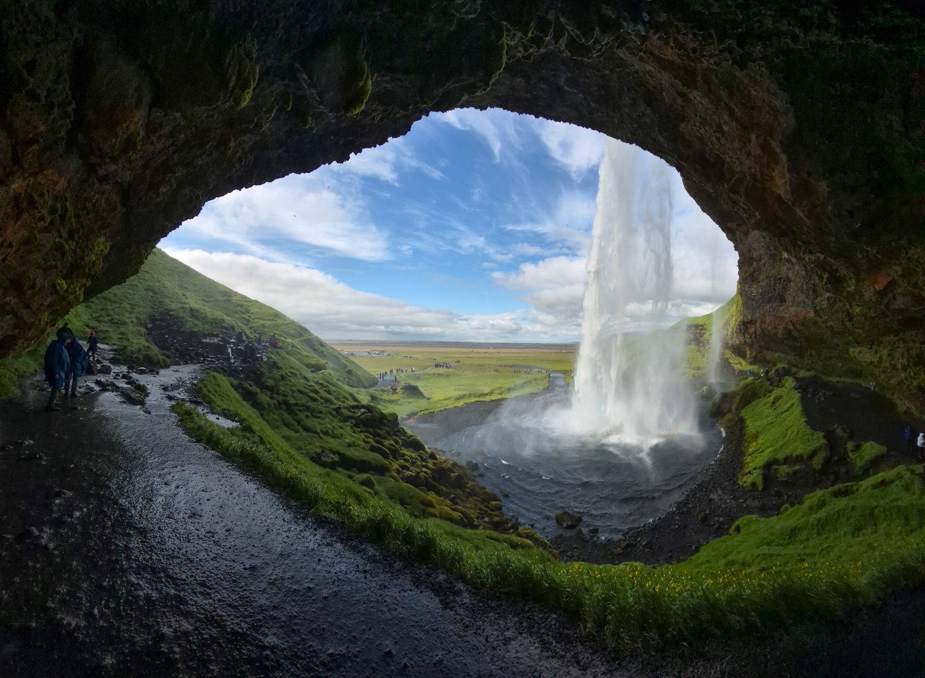
Rain clothing advised to experience Seljalandsfoss waterfall ...
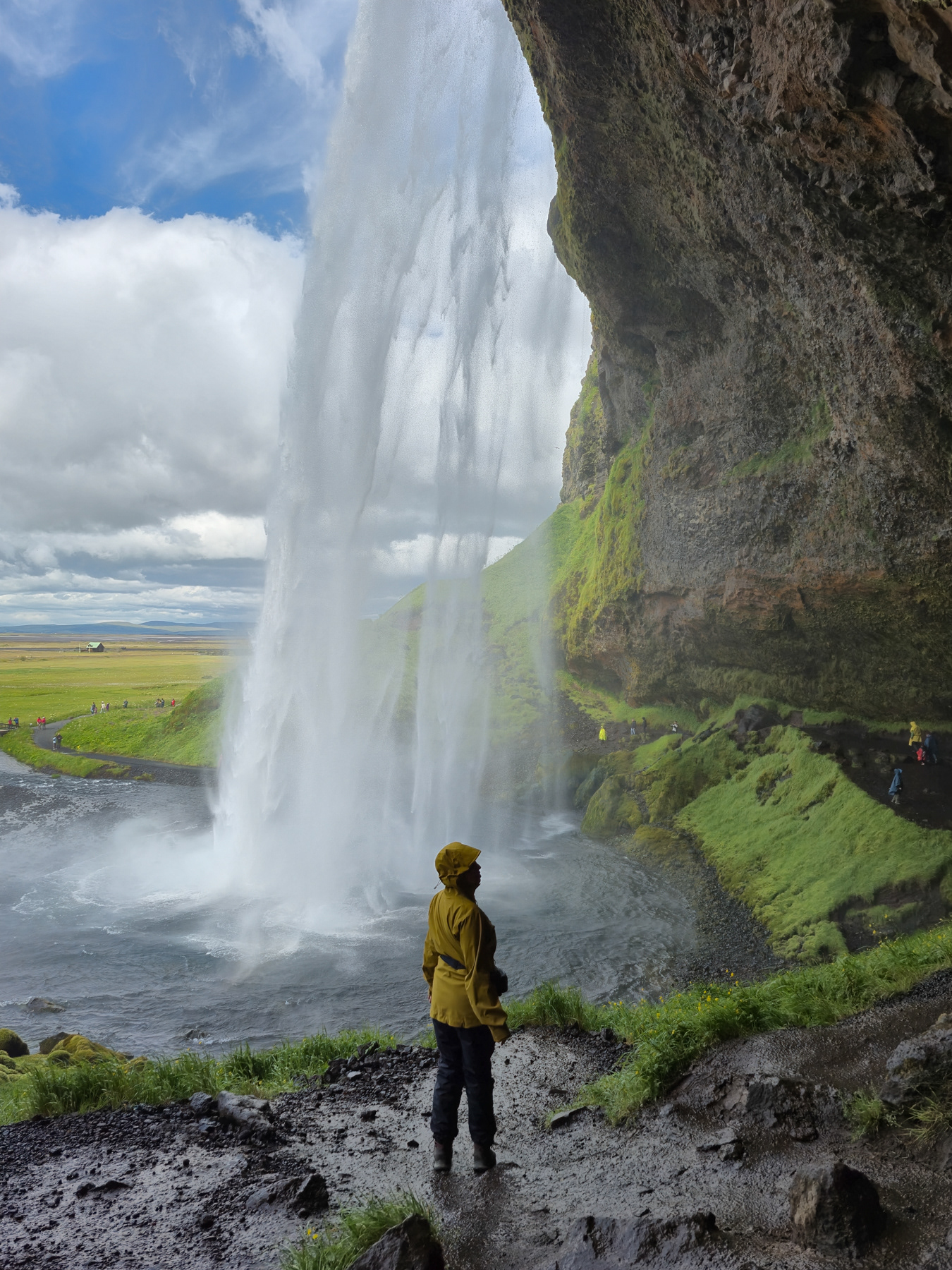
... especially when taking the cave route behind it.
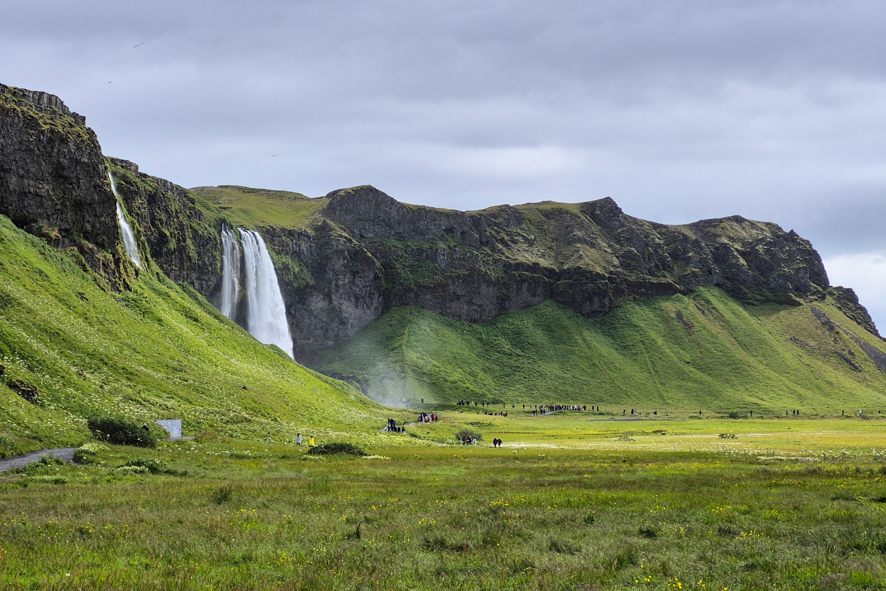
Seljalandsfoss waterfall seen from a little further away, with a second smaller waterfall on the further left of the photo.
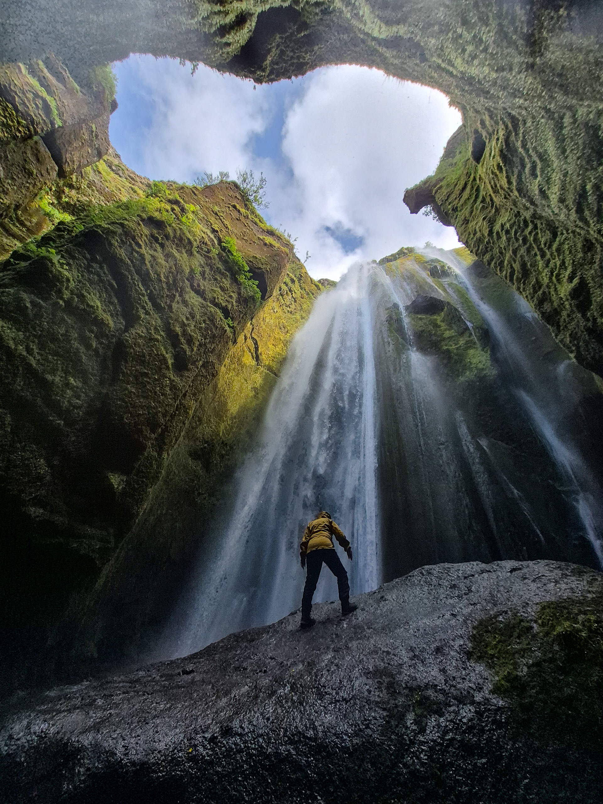
Gljúfrabúi cave waterfall, Iceland, July 2025.
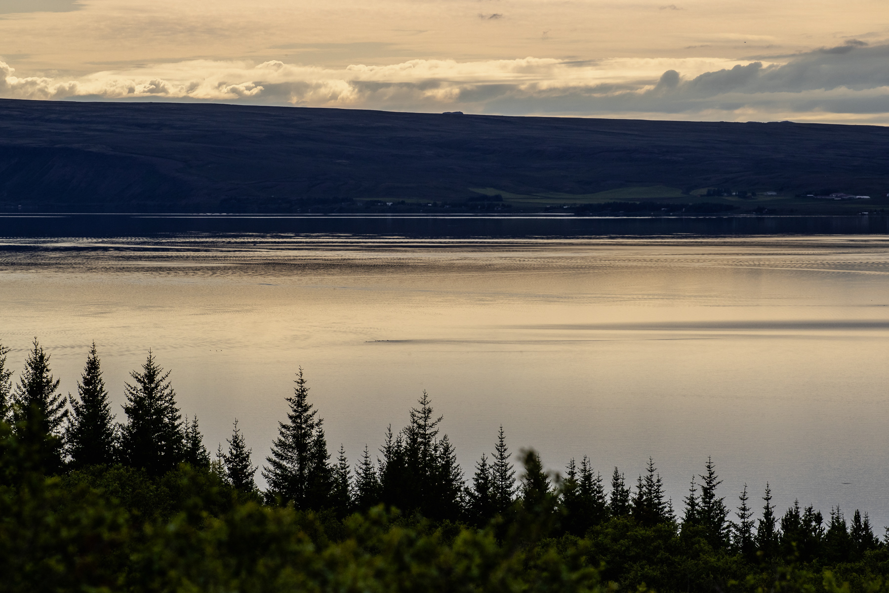
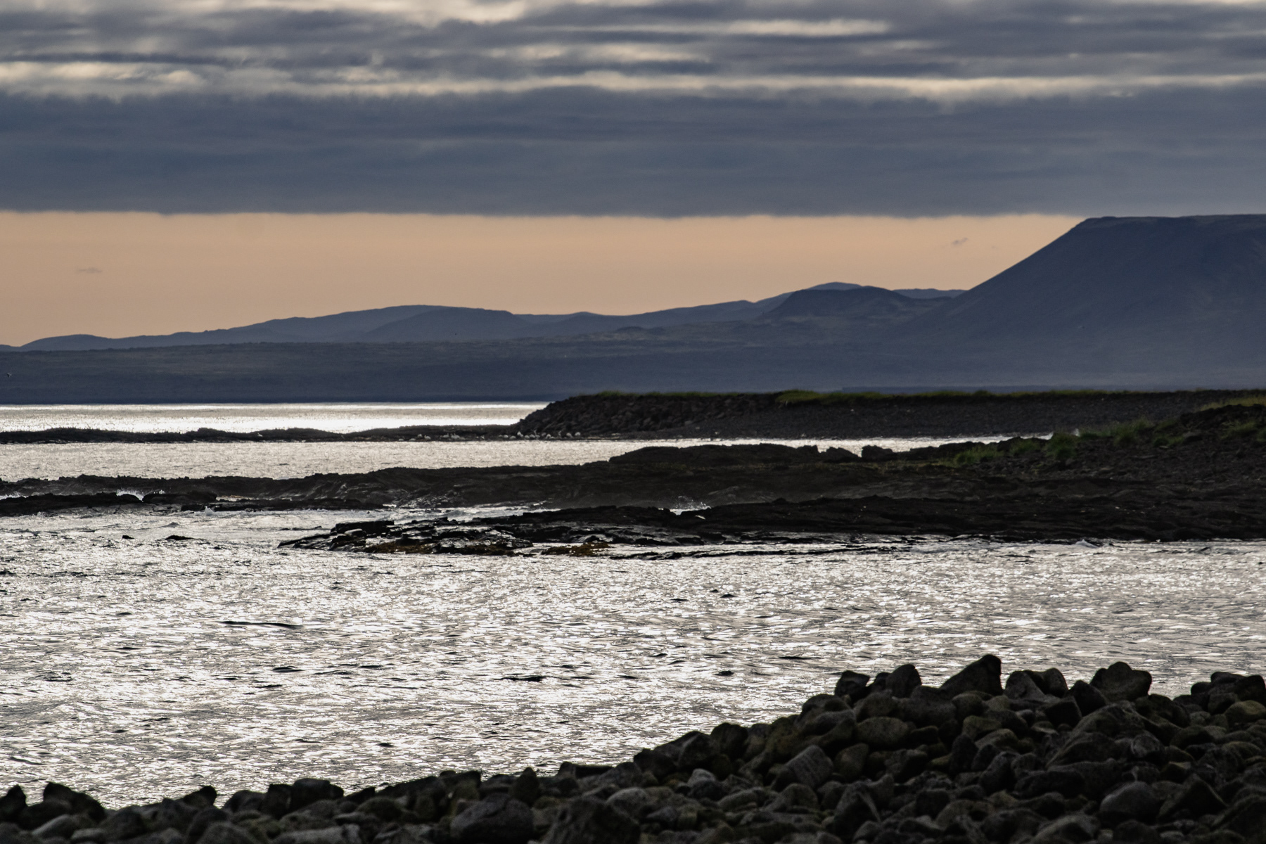
The sizeable lake Thingvallavatn in Thingvellir National Park near sunset, July 2025.
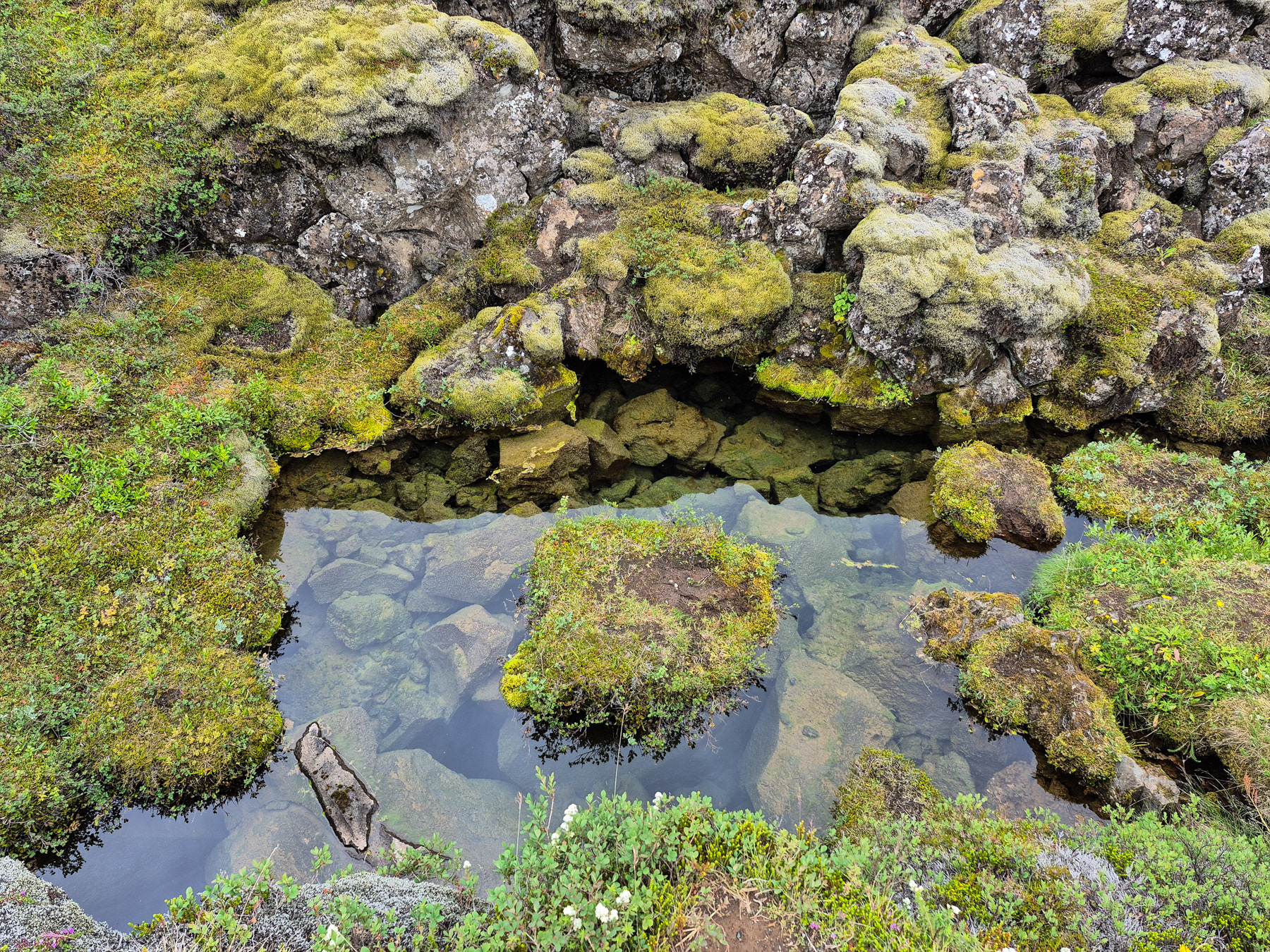
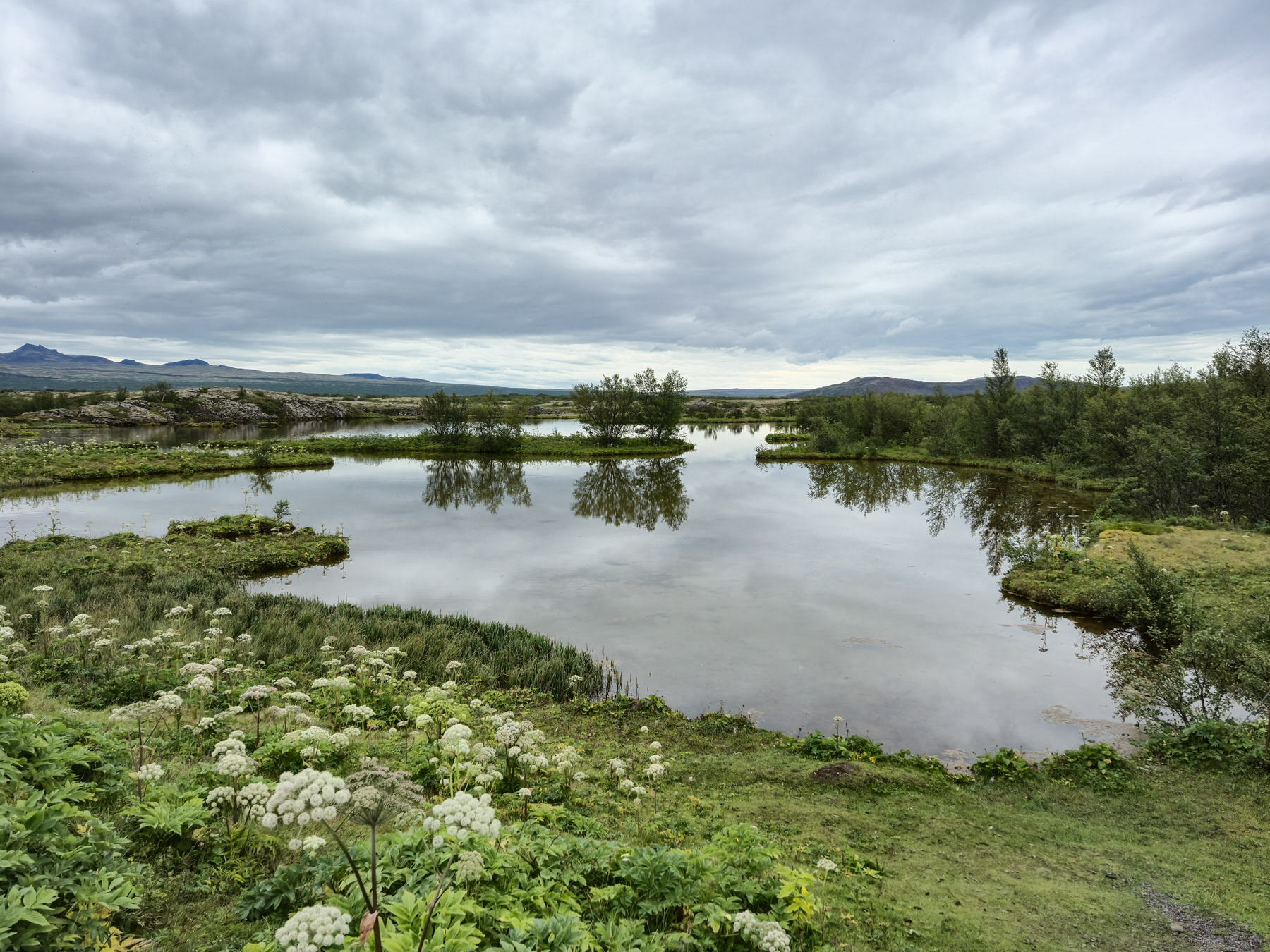
A rocky and mysterious pond in Thingvellir National Park.
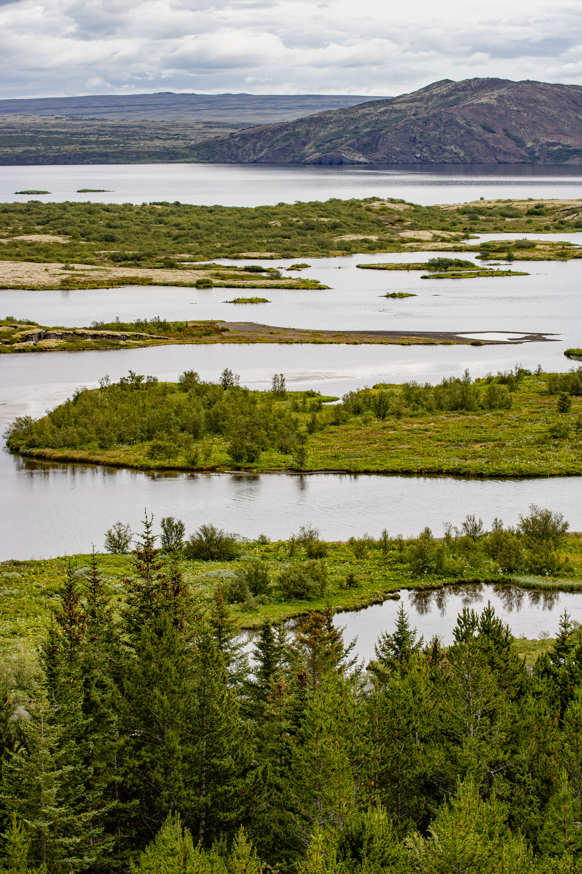
View at Thingvallavatn lake and its small peninsulas.
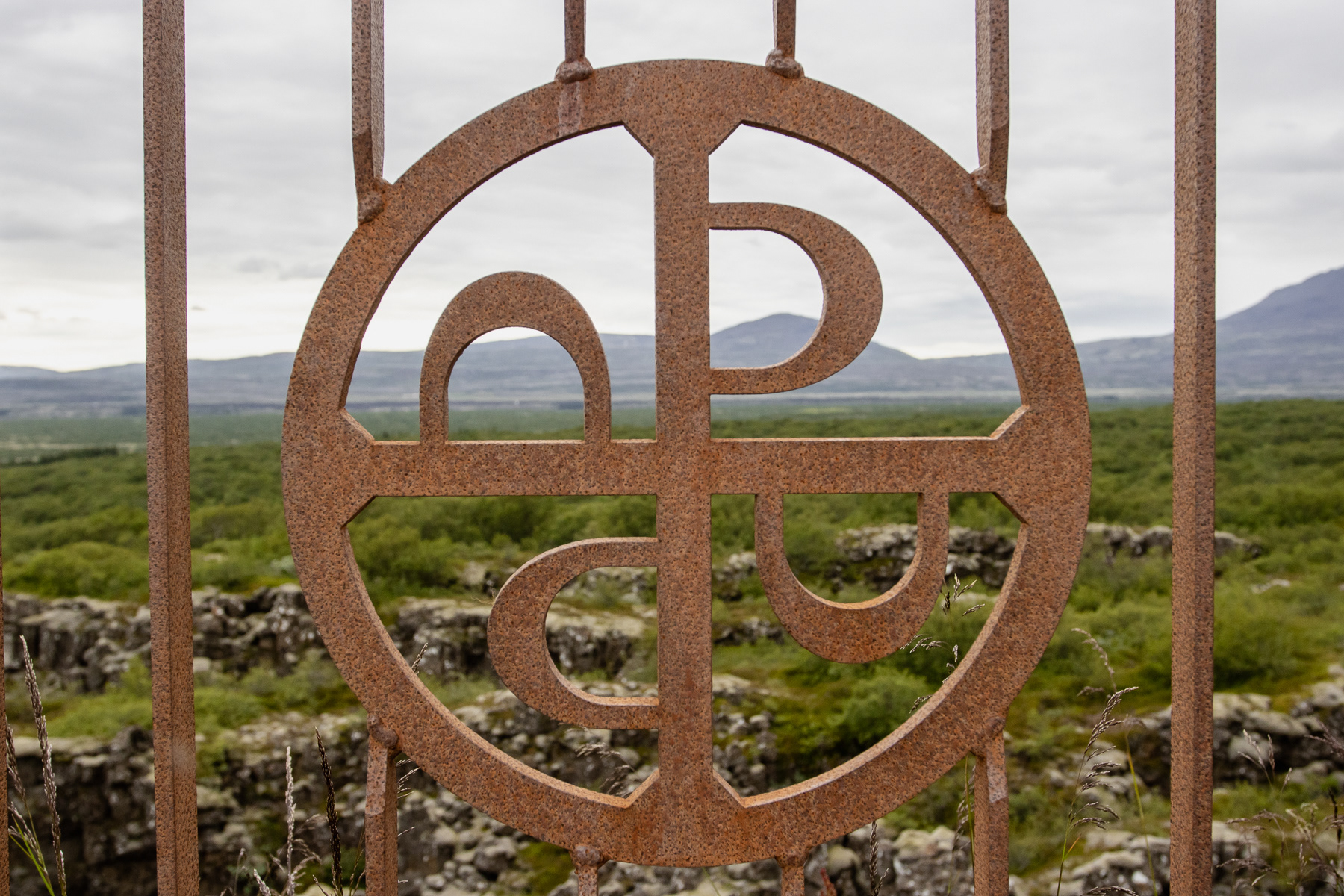
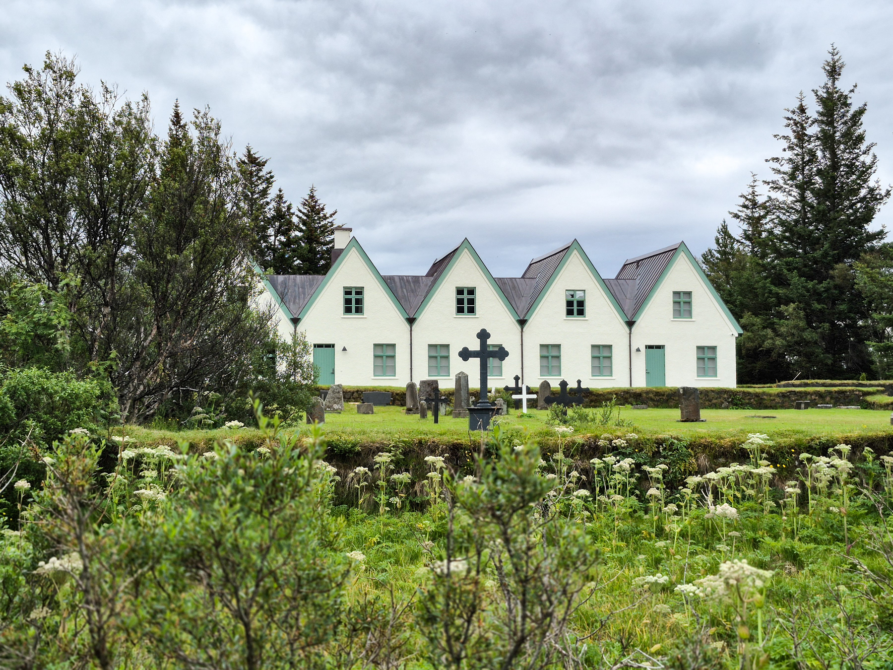
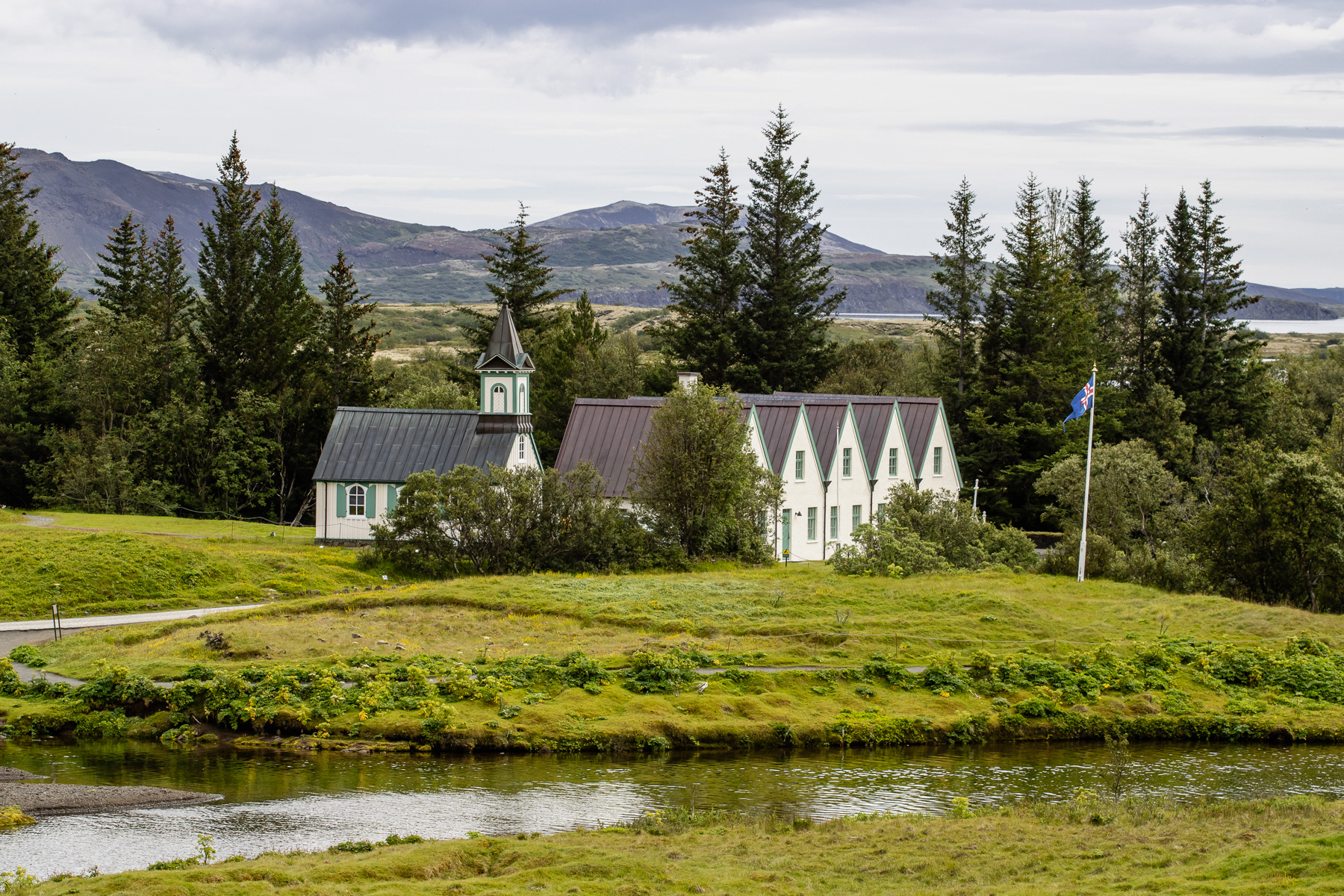
Logo and view of Thingvellir National Park.
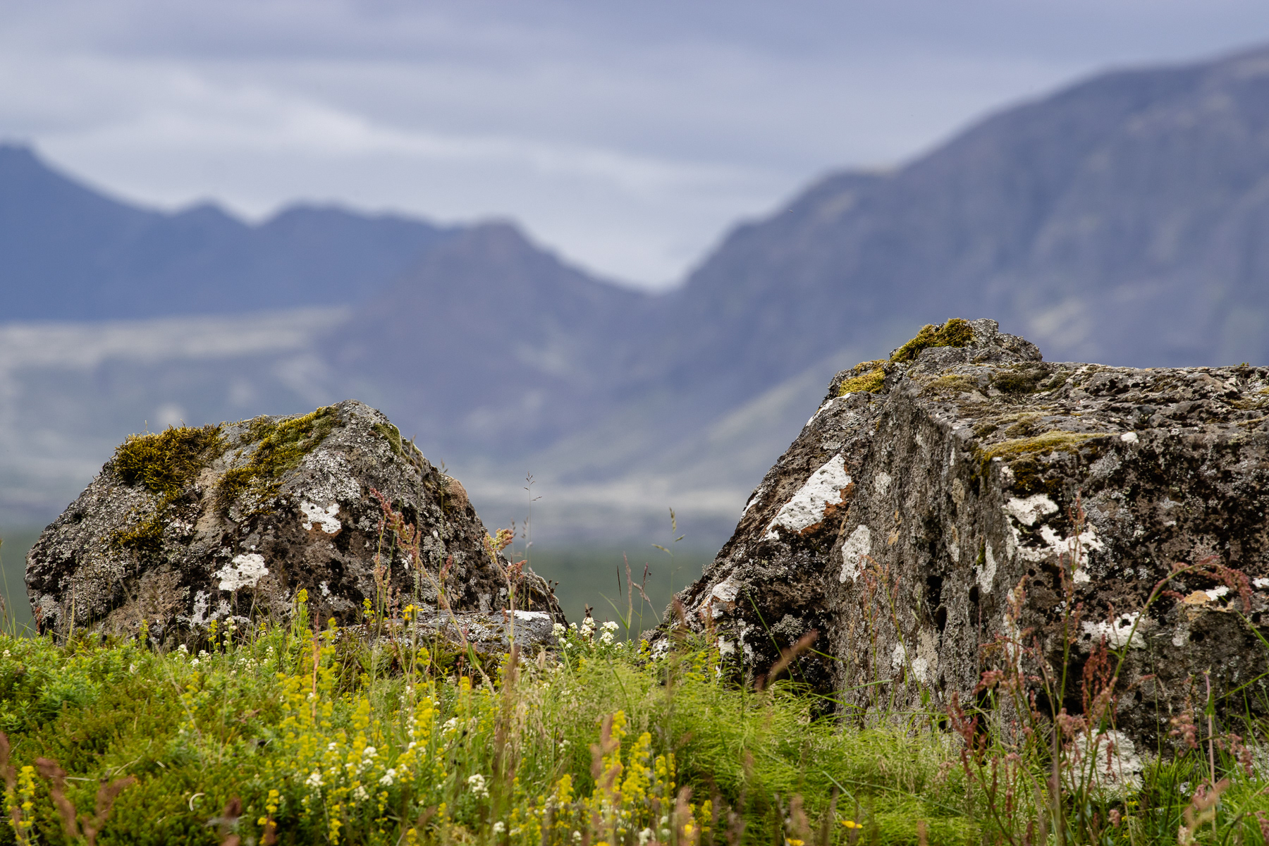
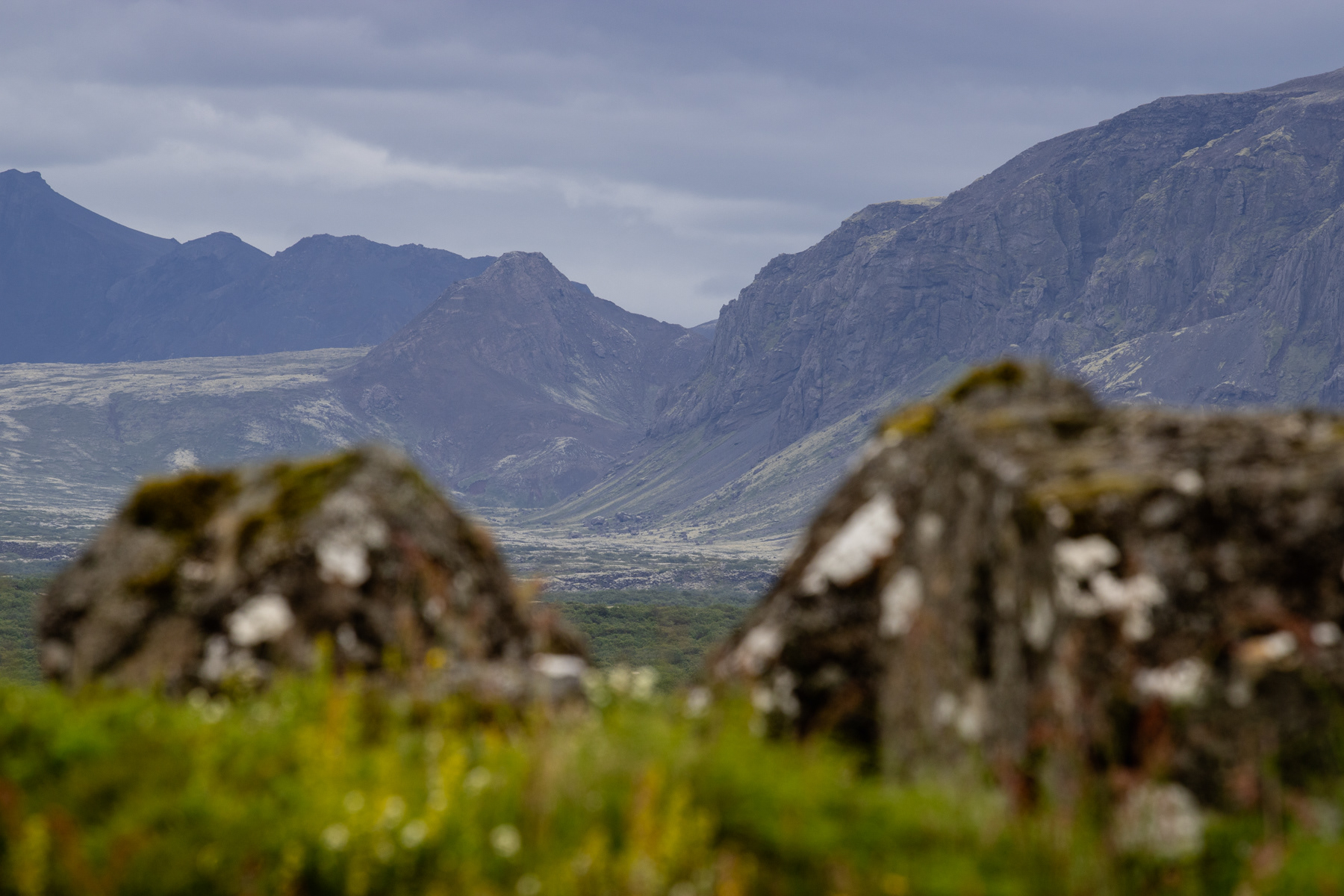
Thingvellir is a great way to get some perspectives on mounteanous area around it.
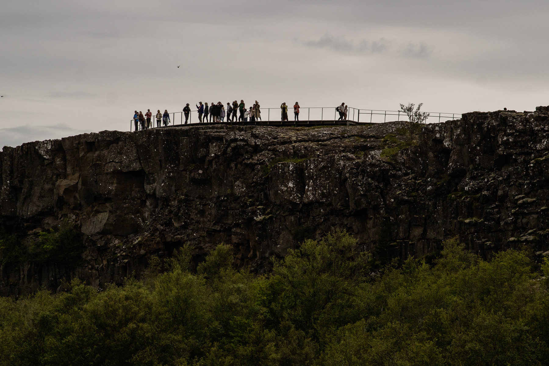
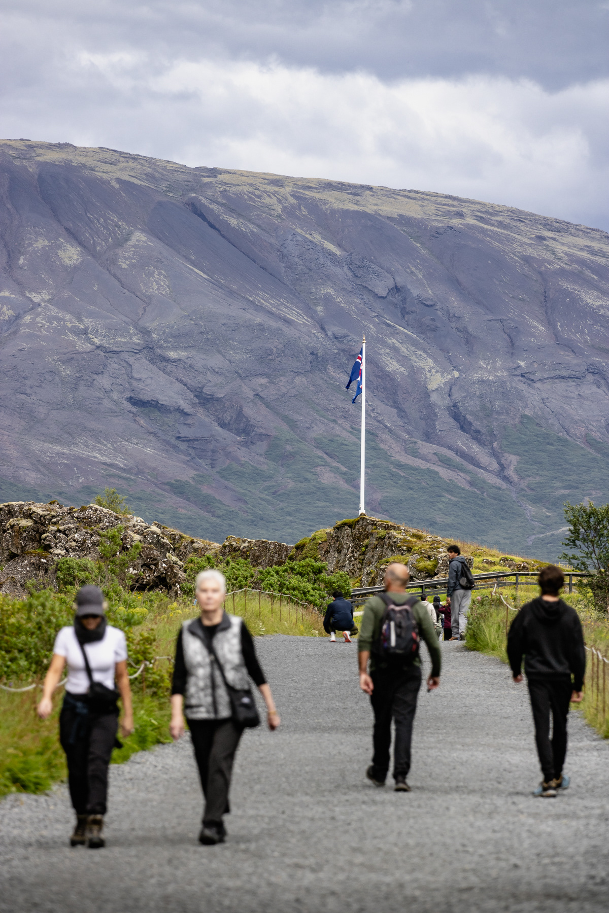
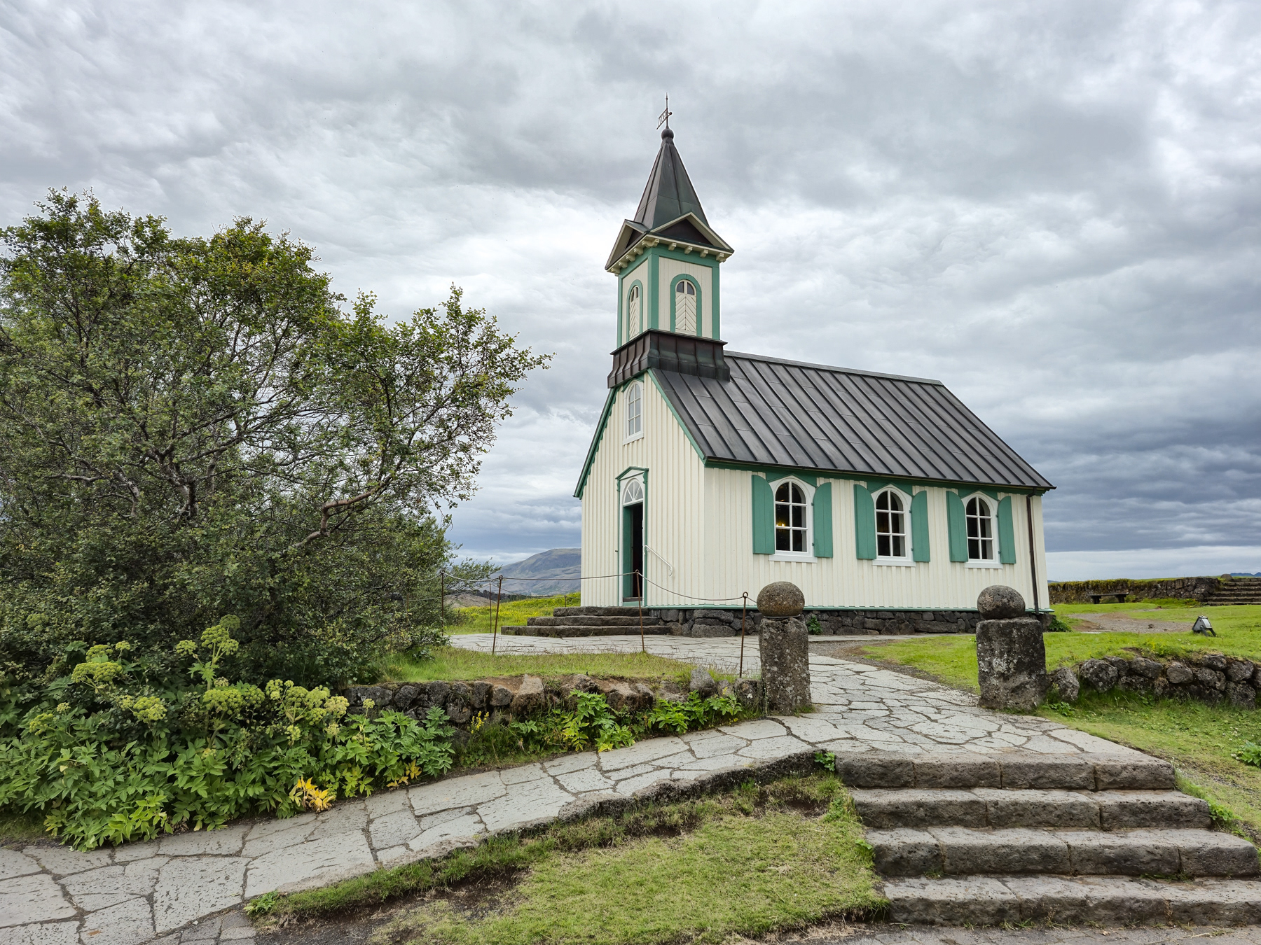
Standing on top of where North America and Europe meet.
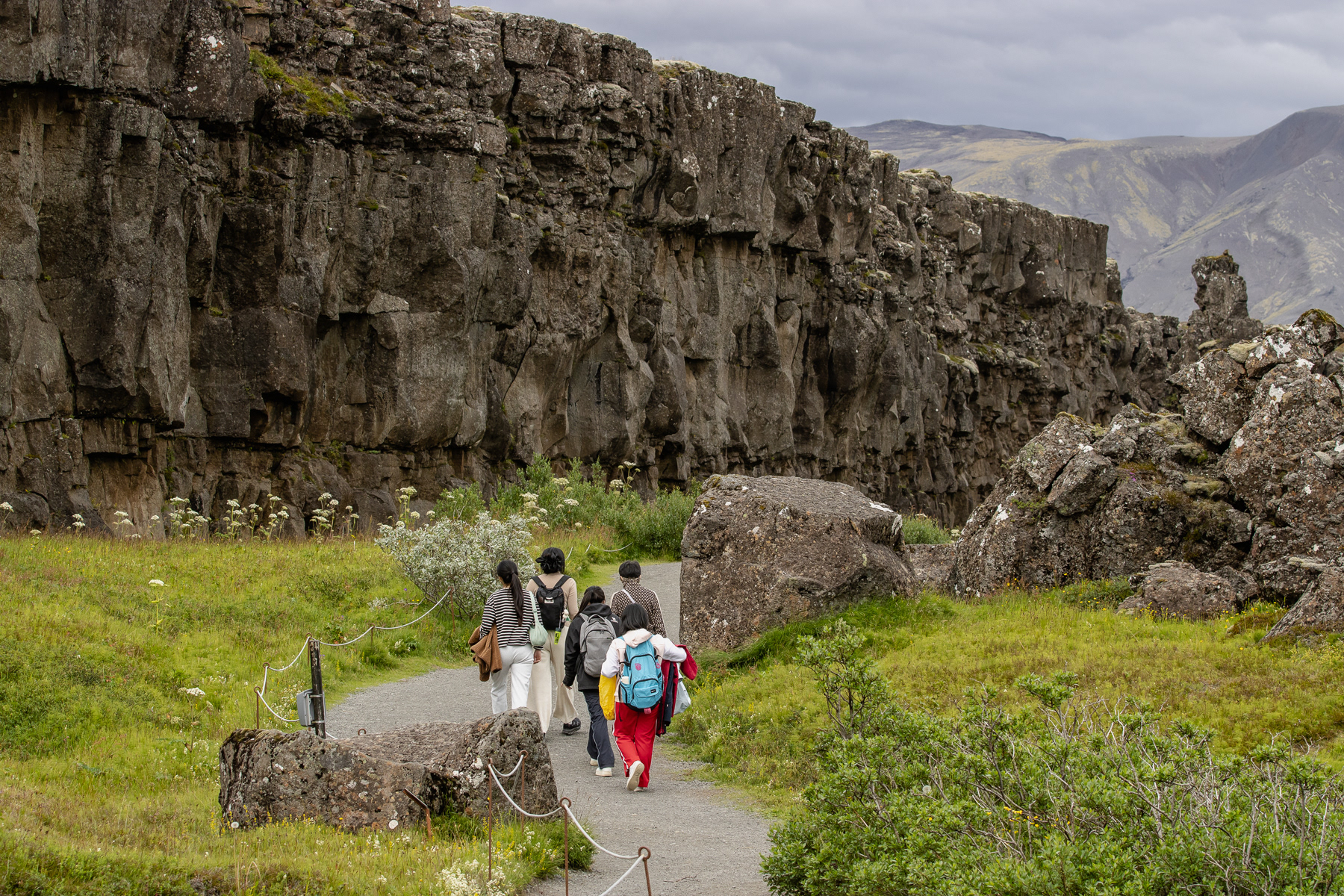
Walking in the "abyss" between North America and Europe.
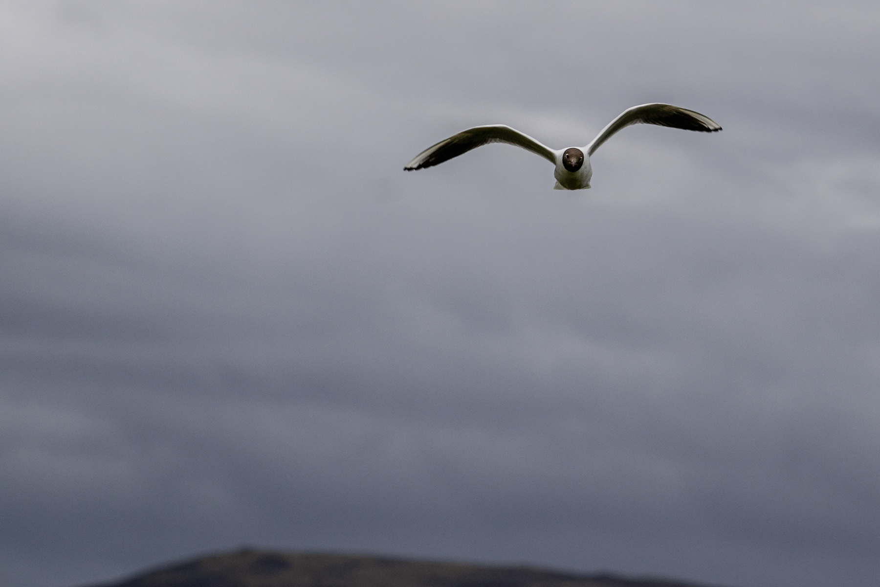
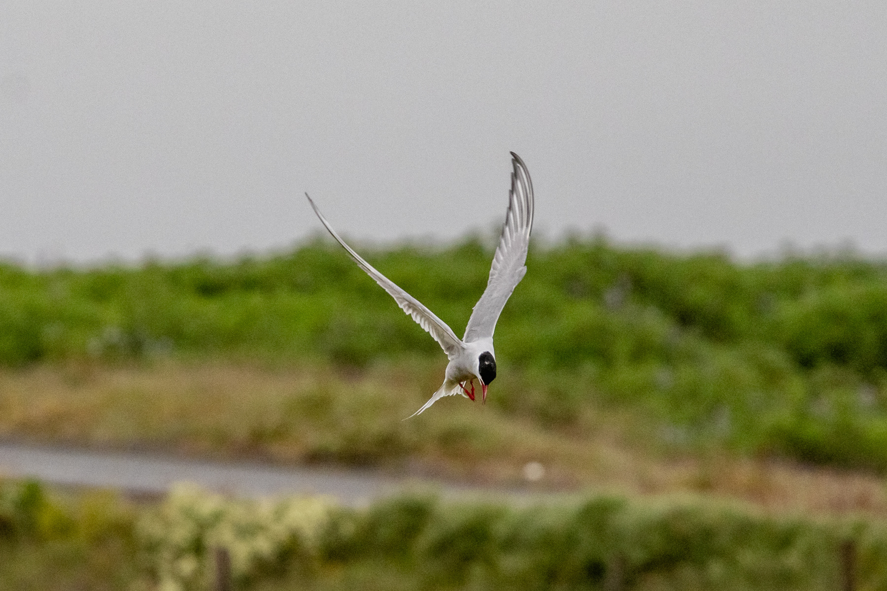
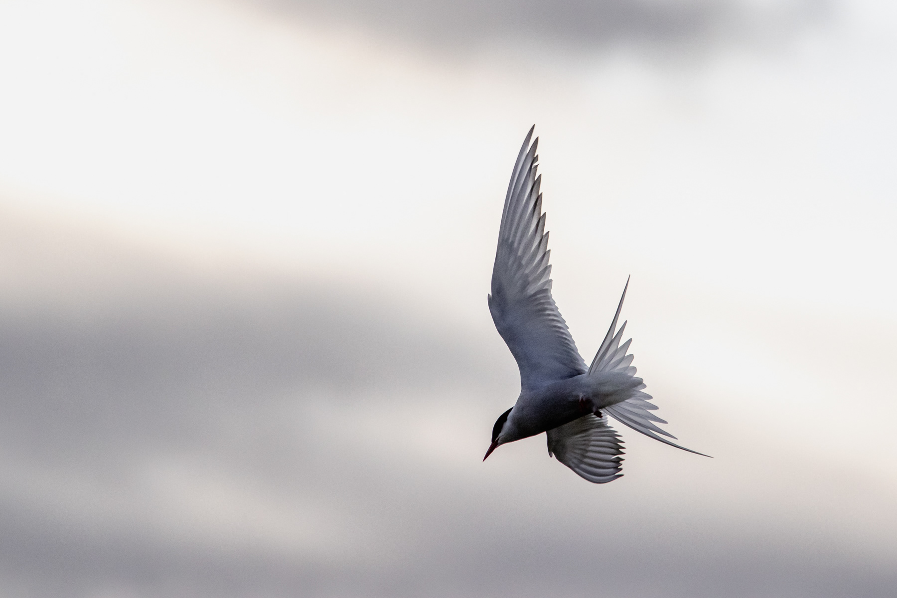
An arctic tern performs a fly-over.
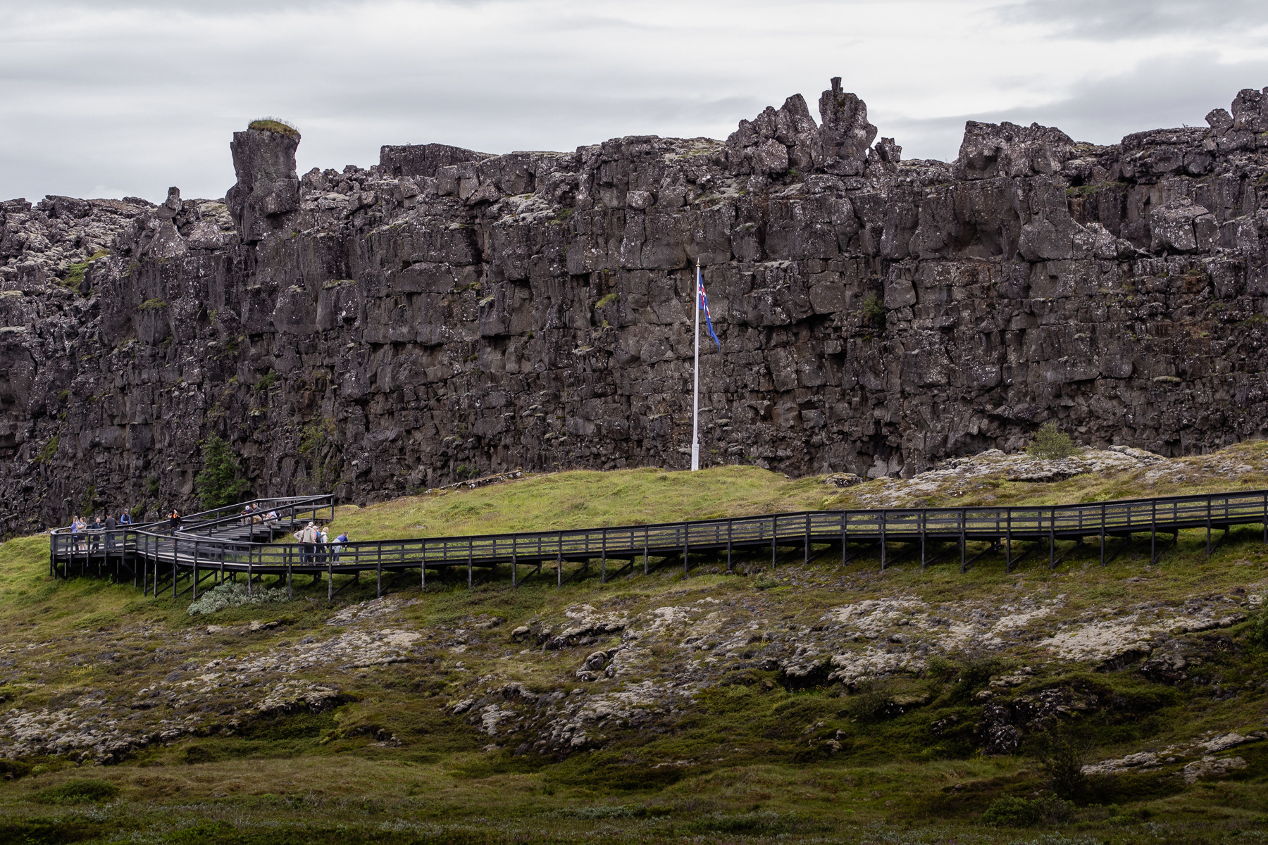
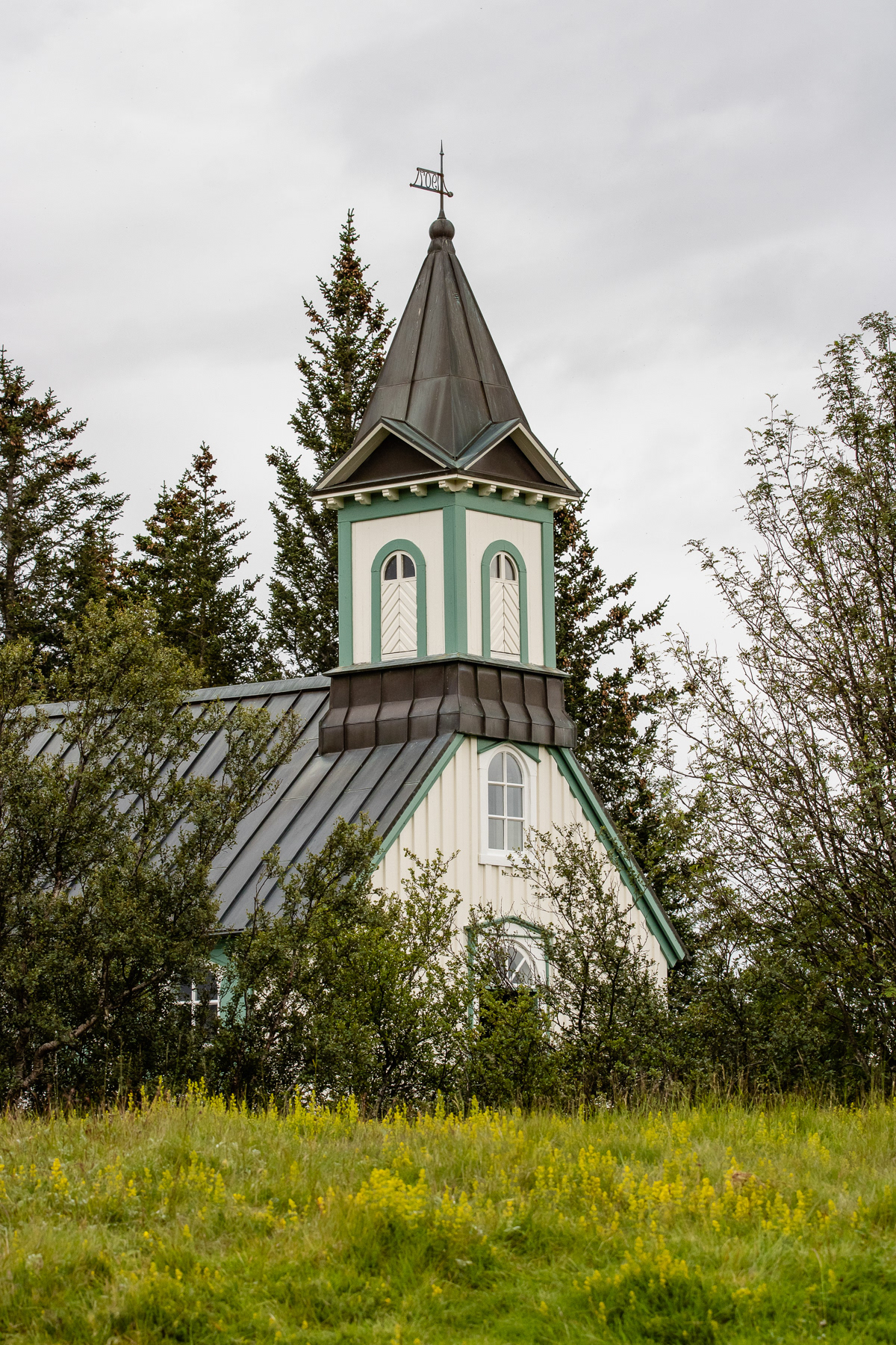
The flagpole marks the location of the historic the Alþingi (The Althing), Iceland's first parliament.
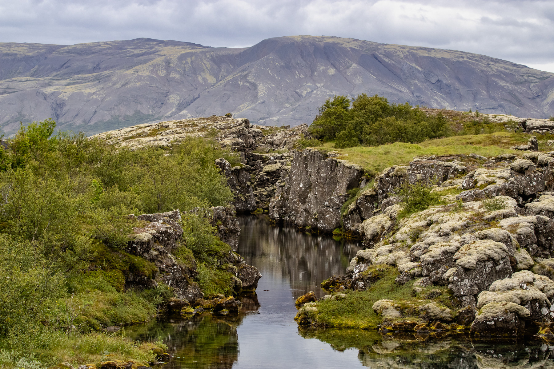
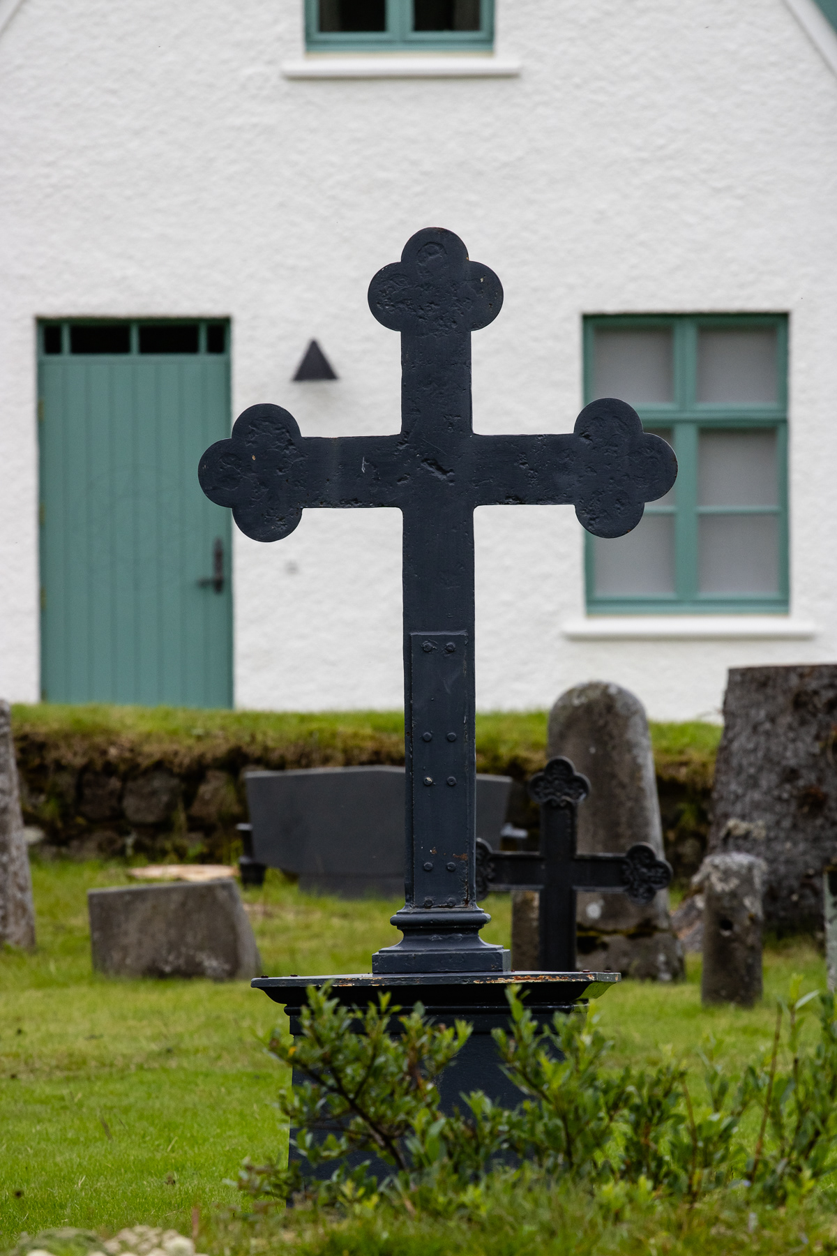
Despite its beauty, Thingvellir was also the site of punishments. At least 72 people were executed between 1602 and 1750. Males were beheaded or hanged, and about 18 women were drowned in possibly this little pond.
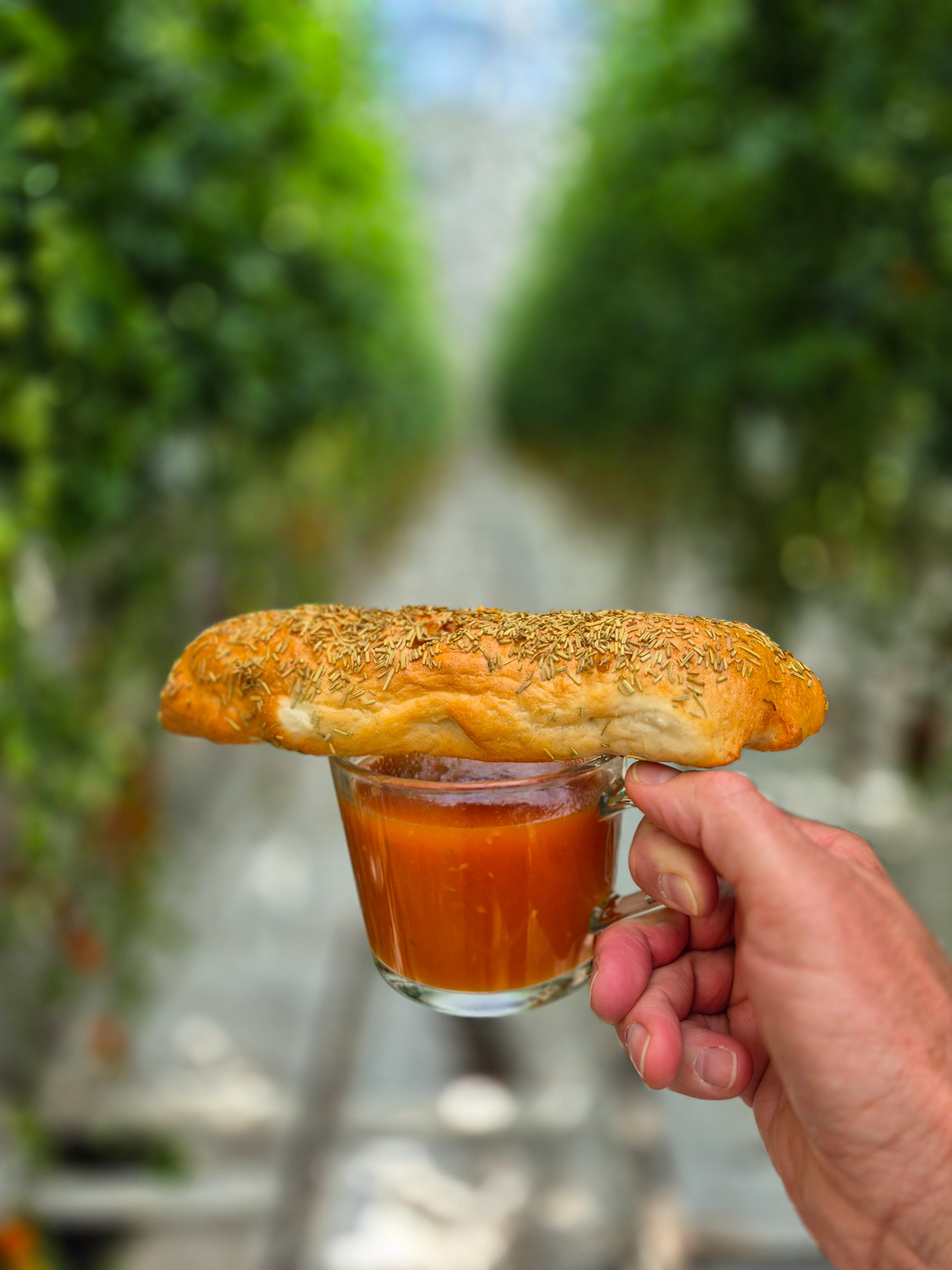
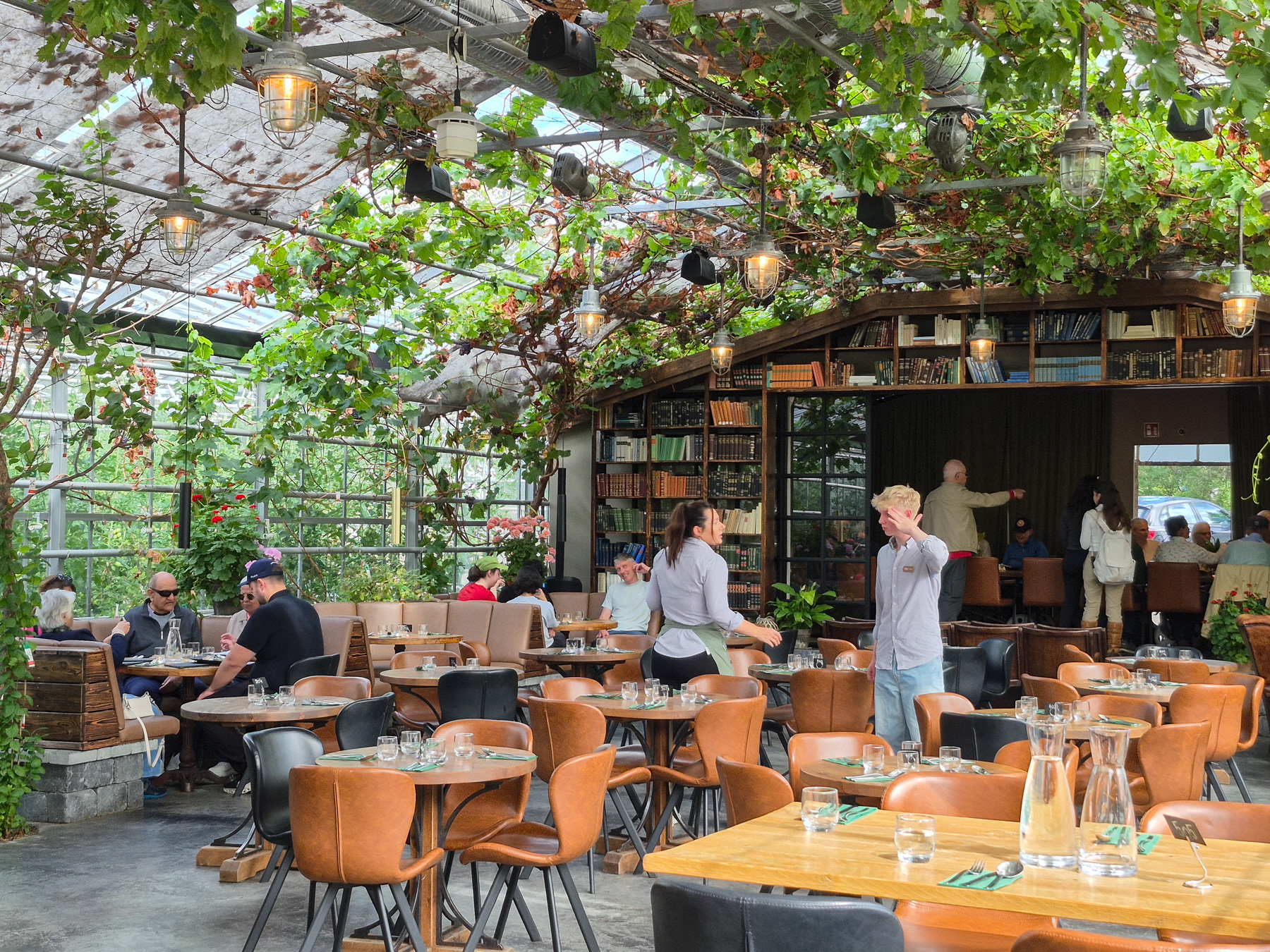
Friðheimar greenhouse and restaurant, Reykholt, Iceland, July 2025.
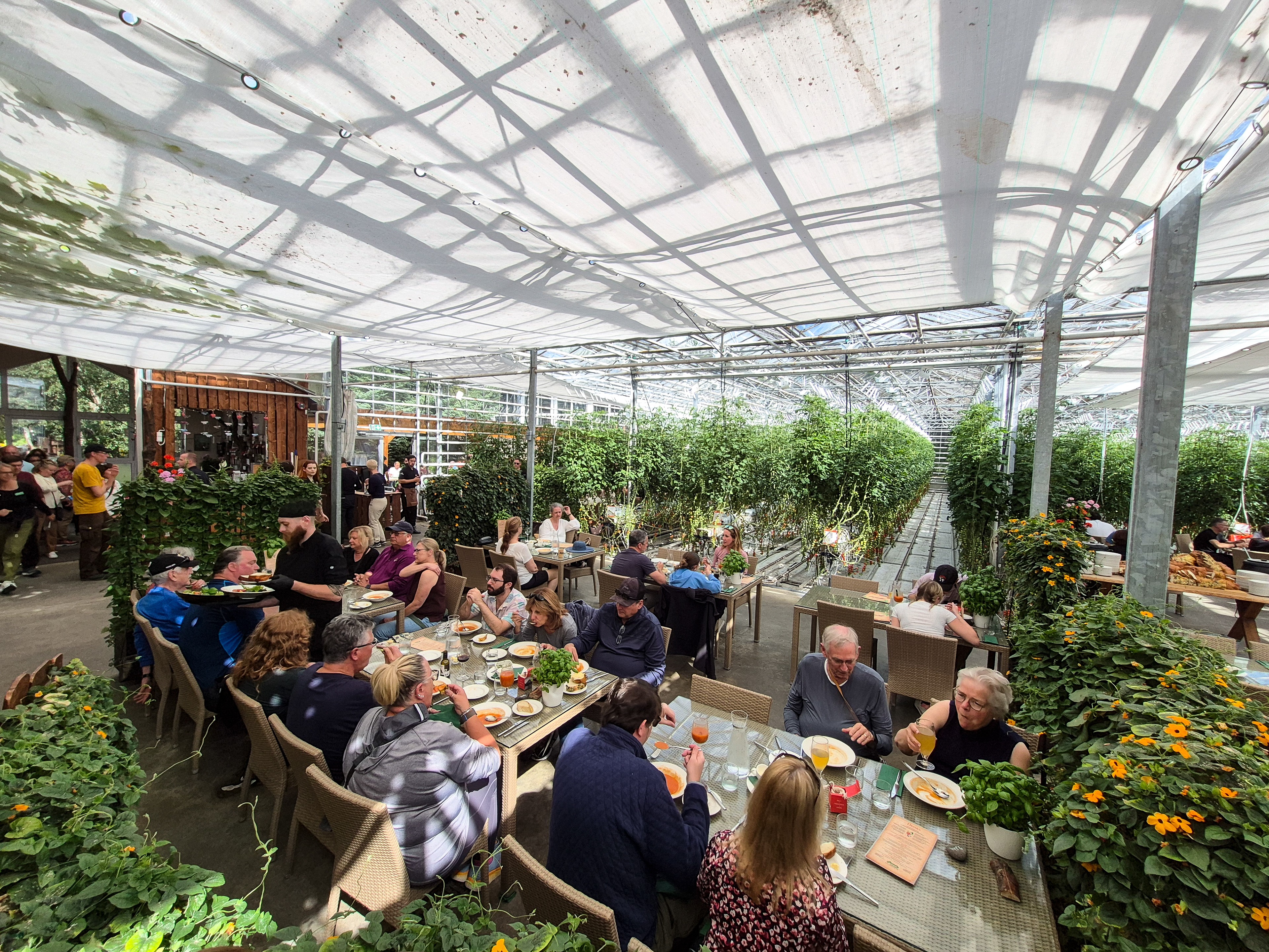
The restaurant at Friðheimar.
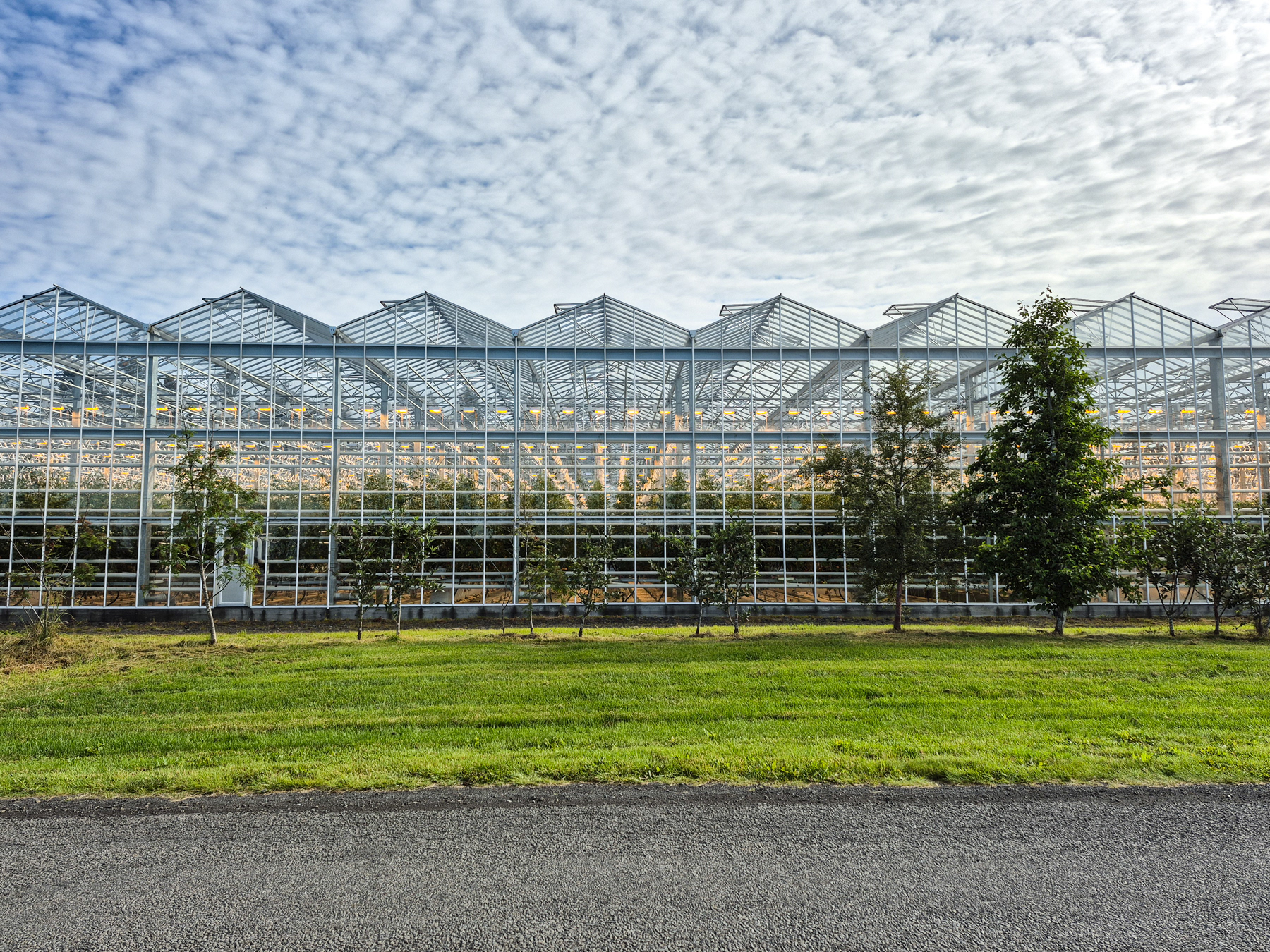
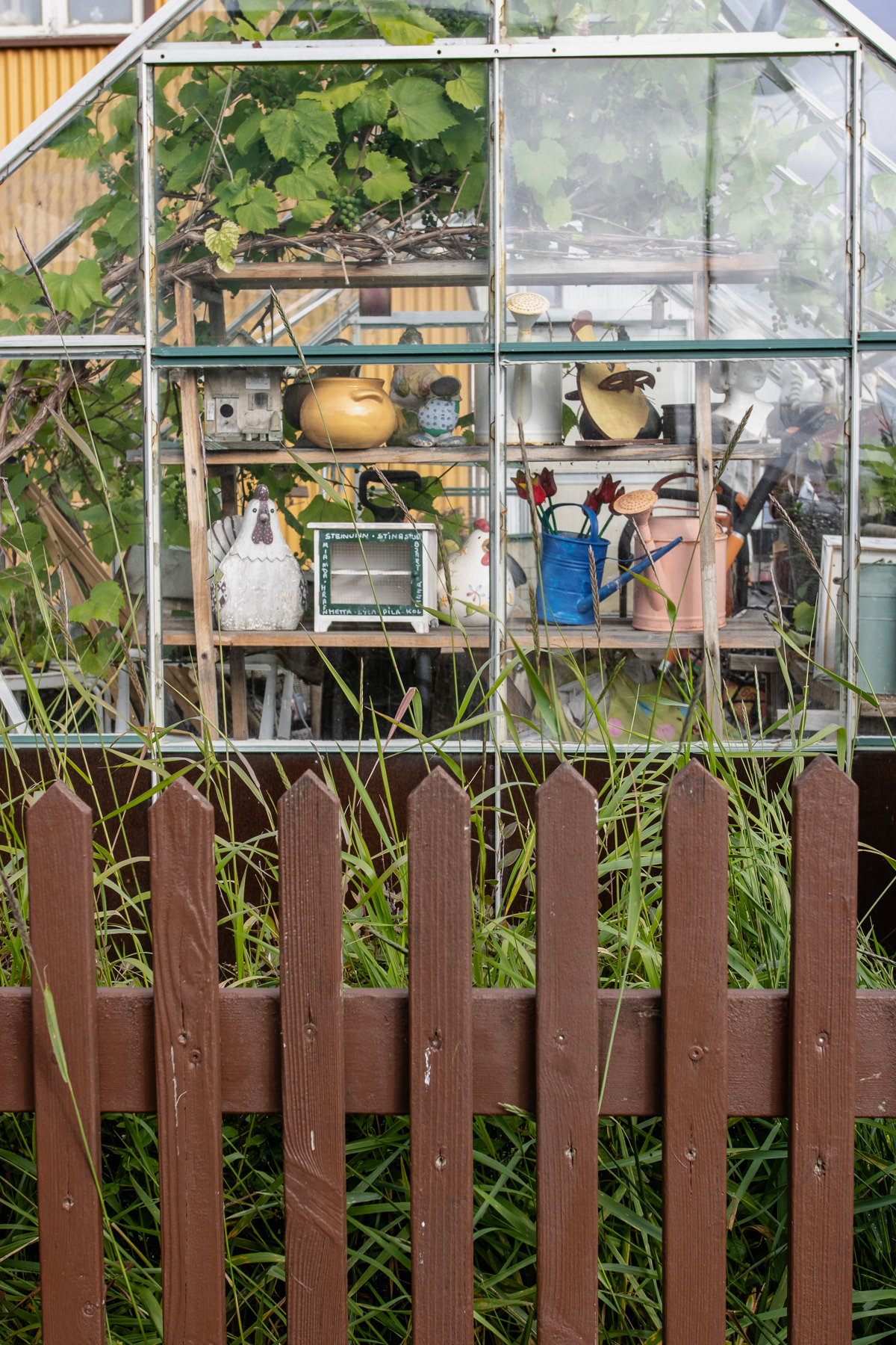
Greenhouse at Friðheimar.
The bistro at Friðheimar, a short stroll away.
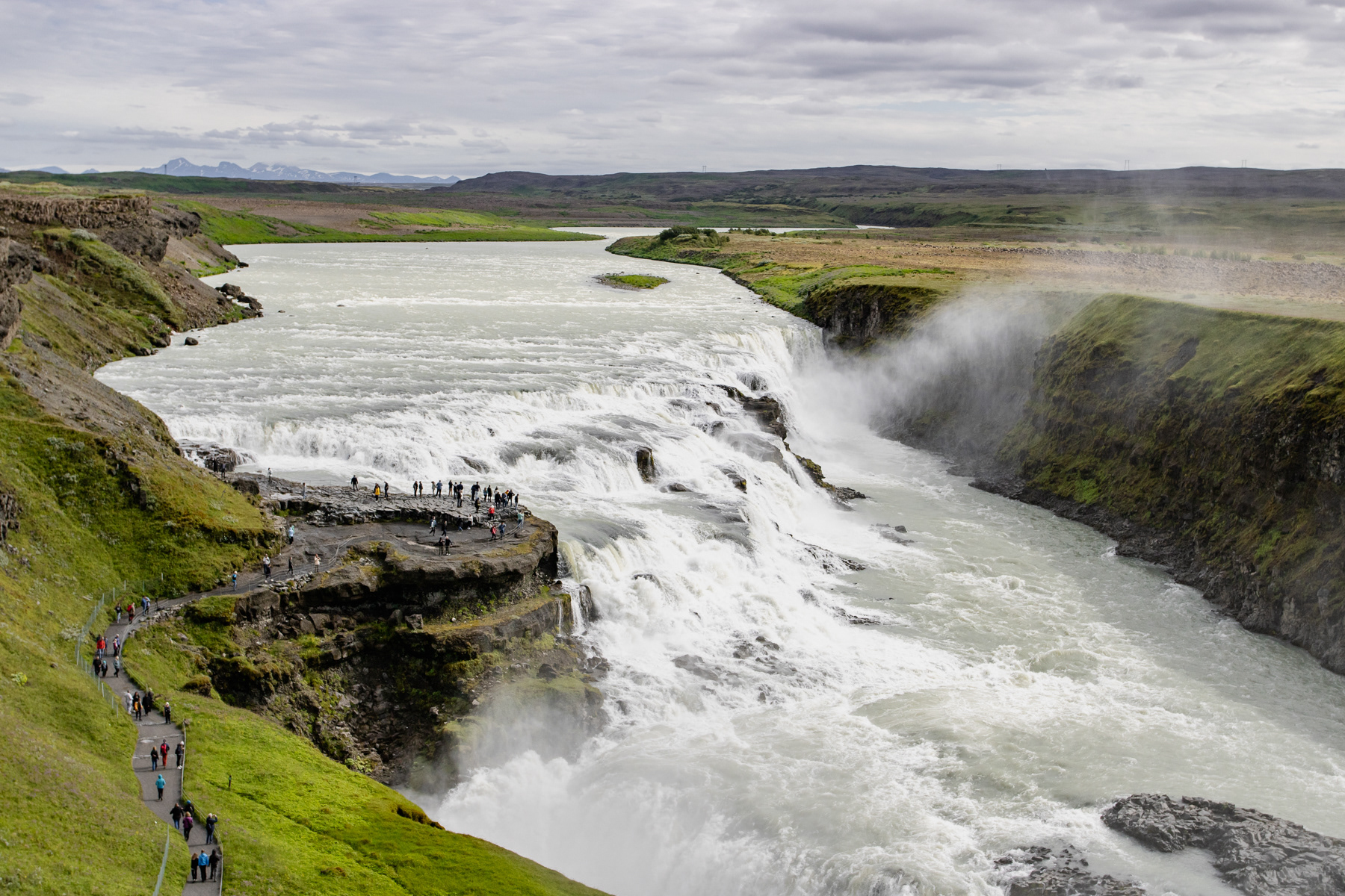
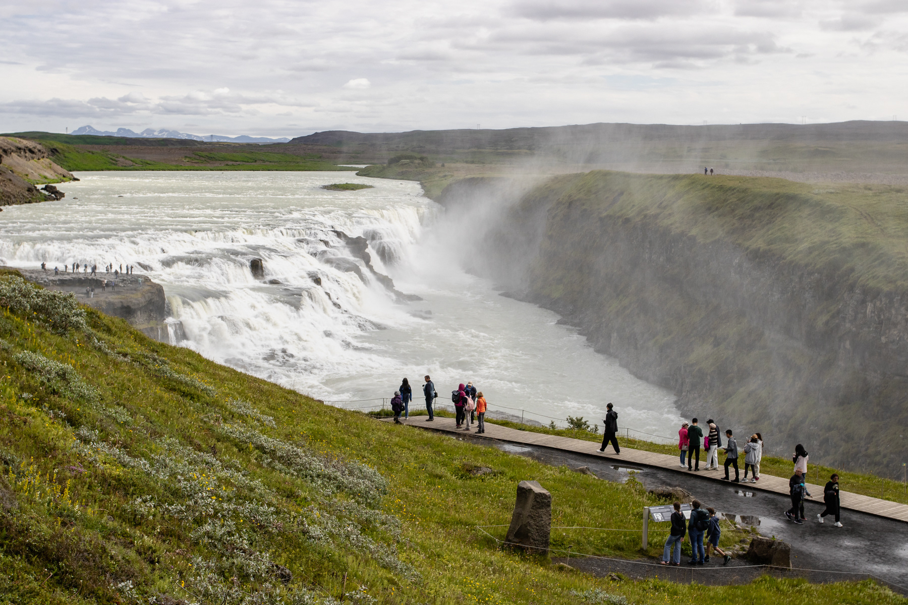
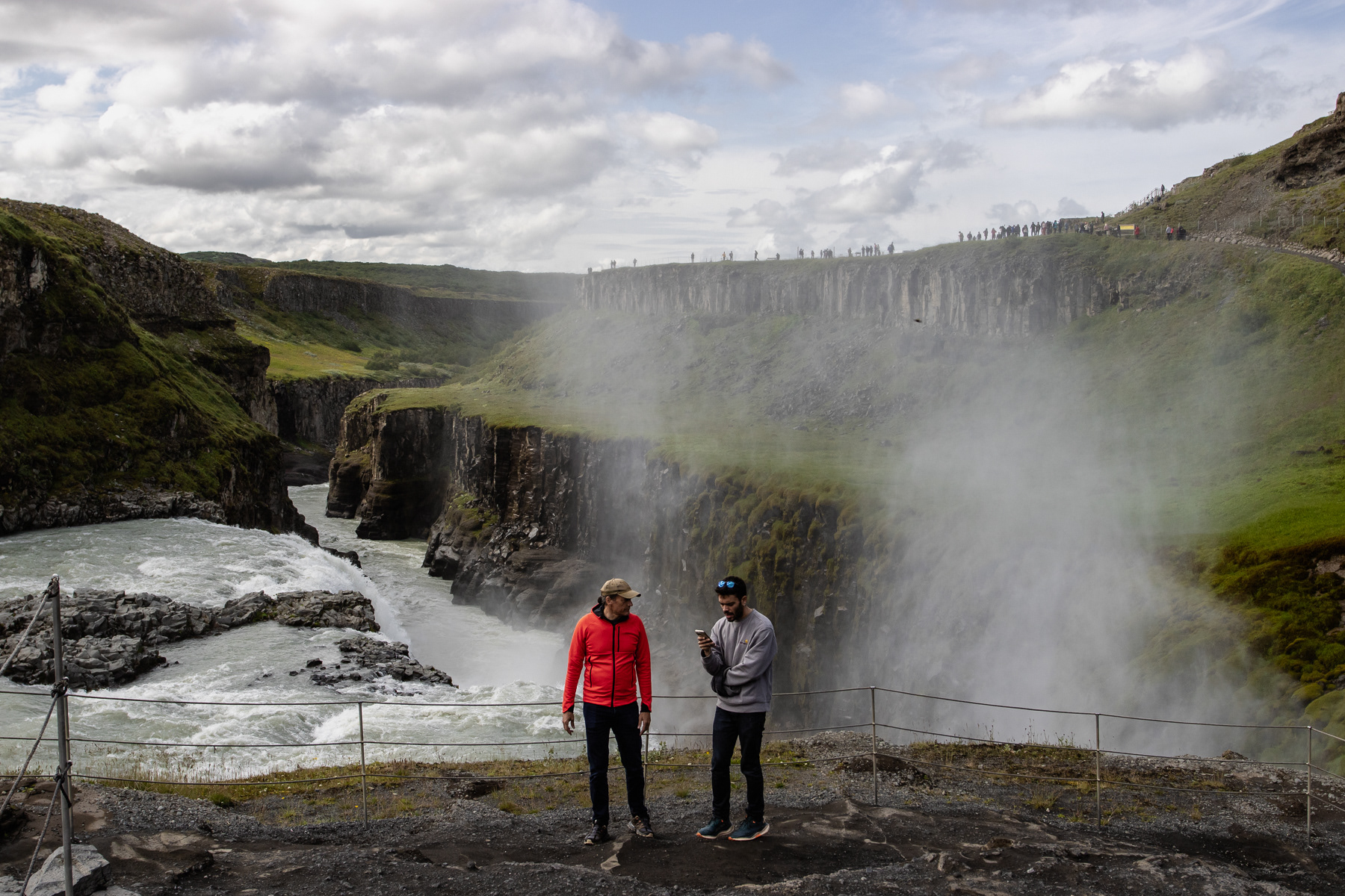
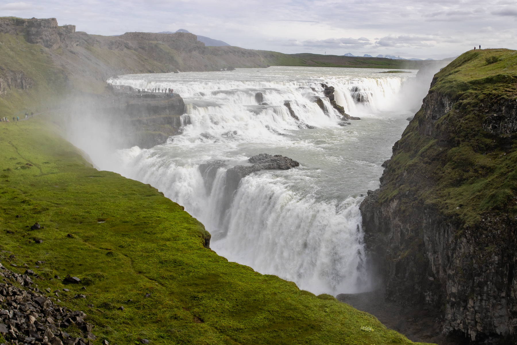
Gullfoss waterfall, Iceland, July 2025.
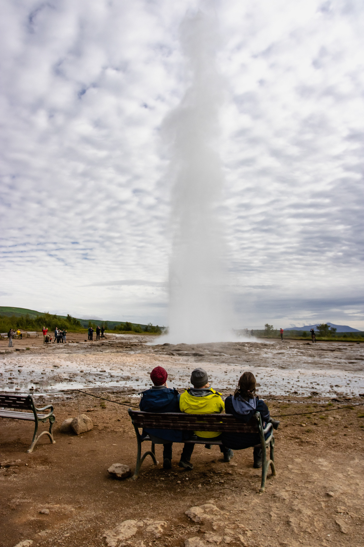
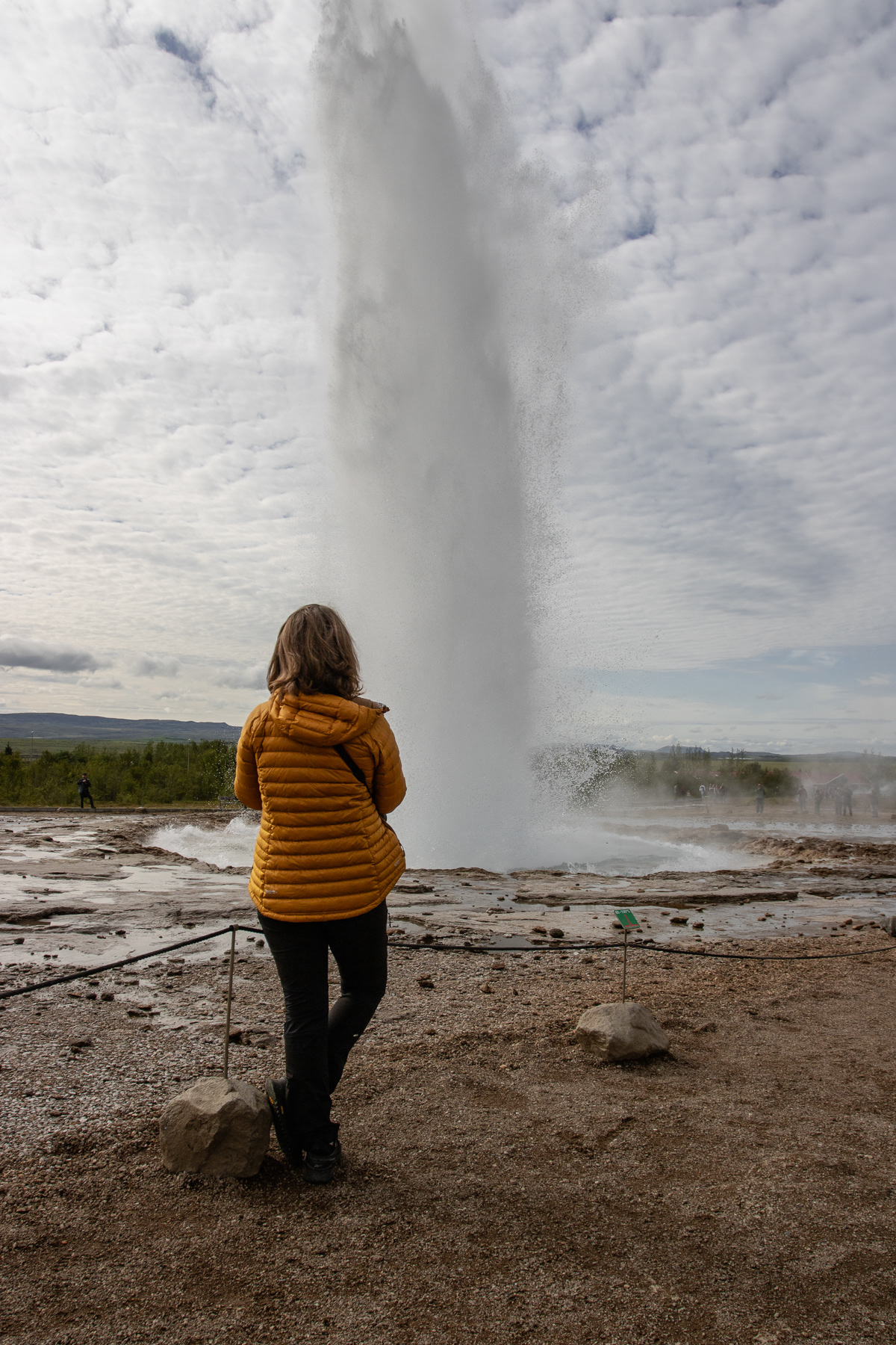
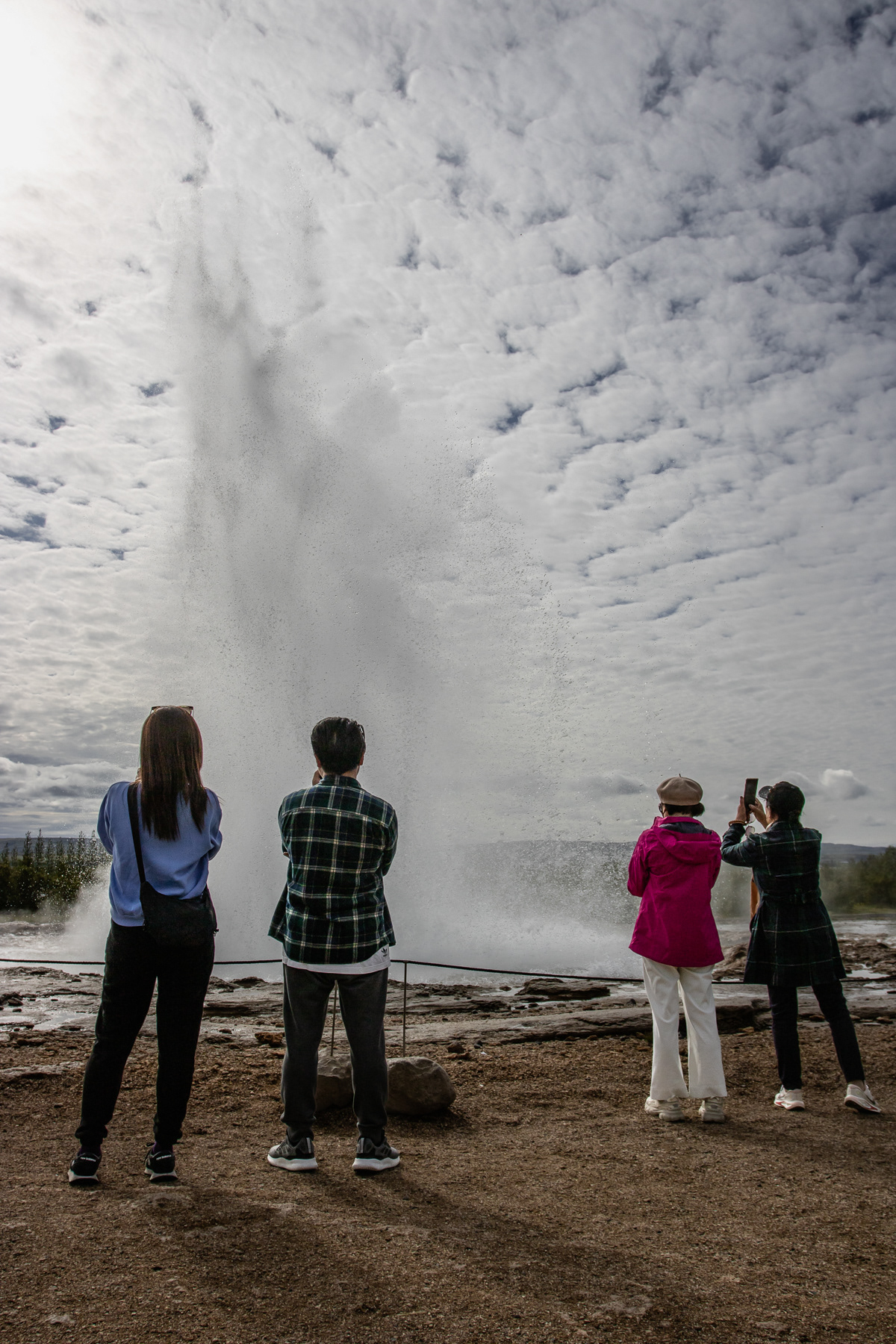
Scenes at the Strokkur geyser, Iceland, July 2025.
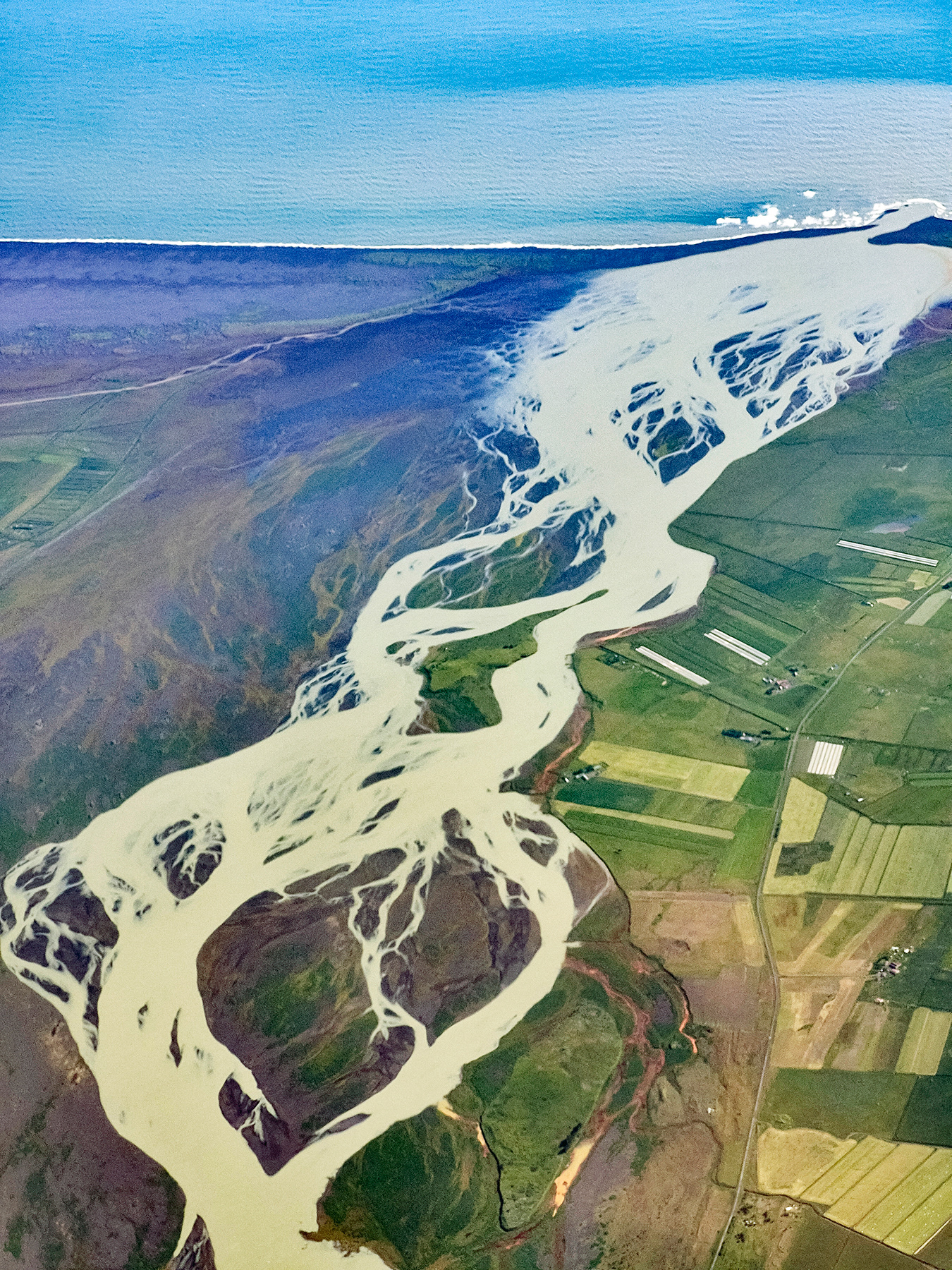
The Þjórsá River, with 240 km Iceland's longest, streaming into the Atlantic Ocean.
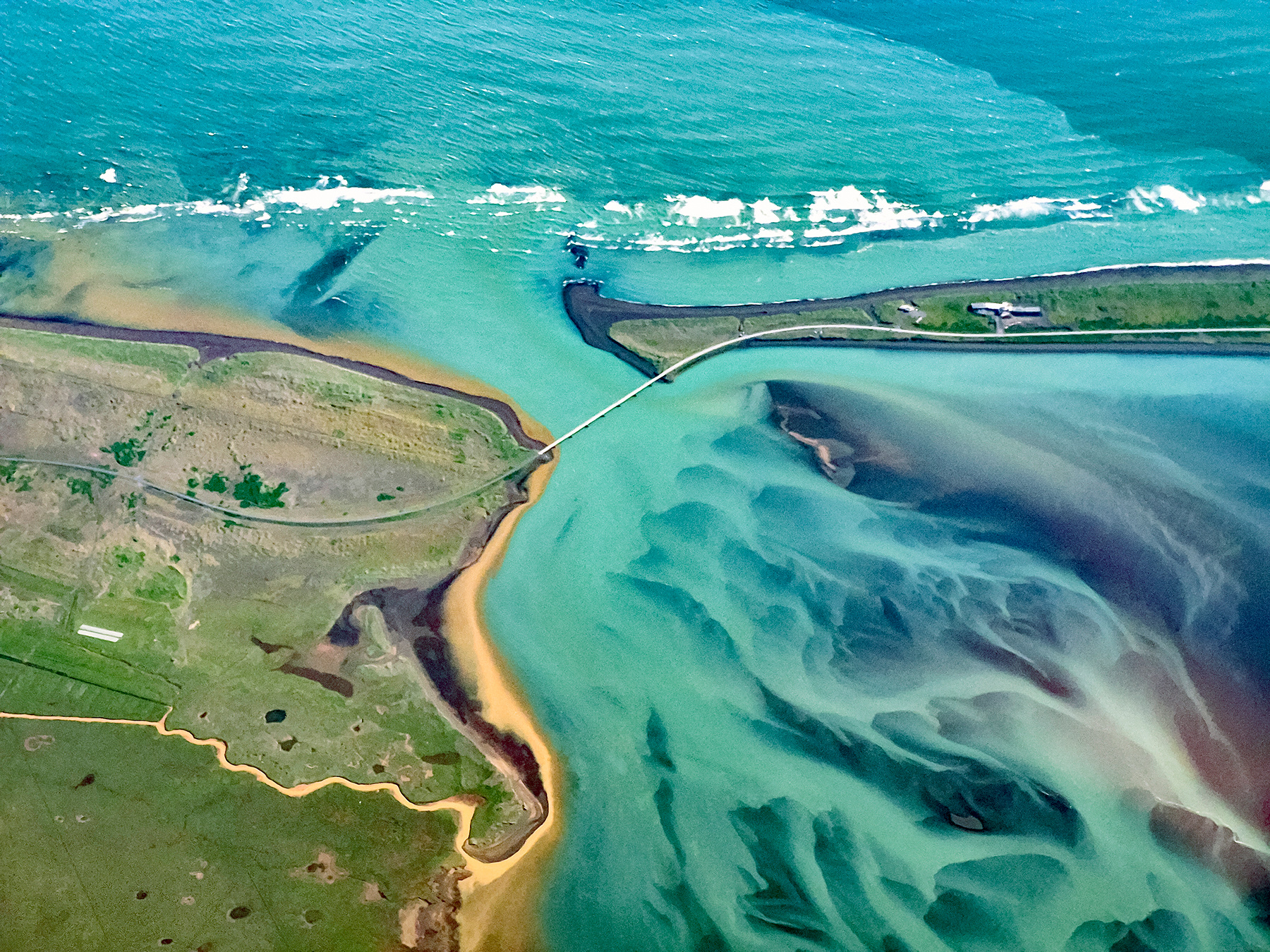
The Ölfusá river estuary and the bridge of road 34, Suðurland, Iceland.
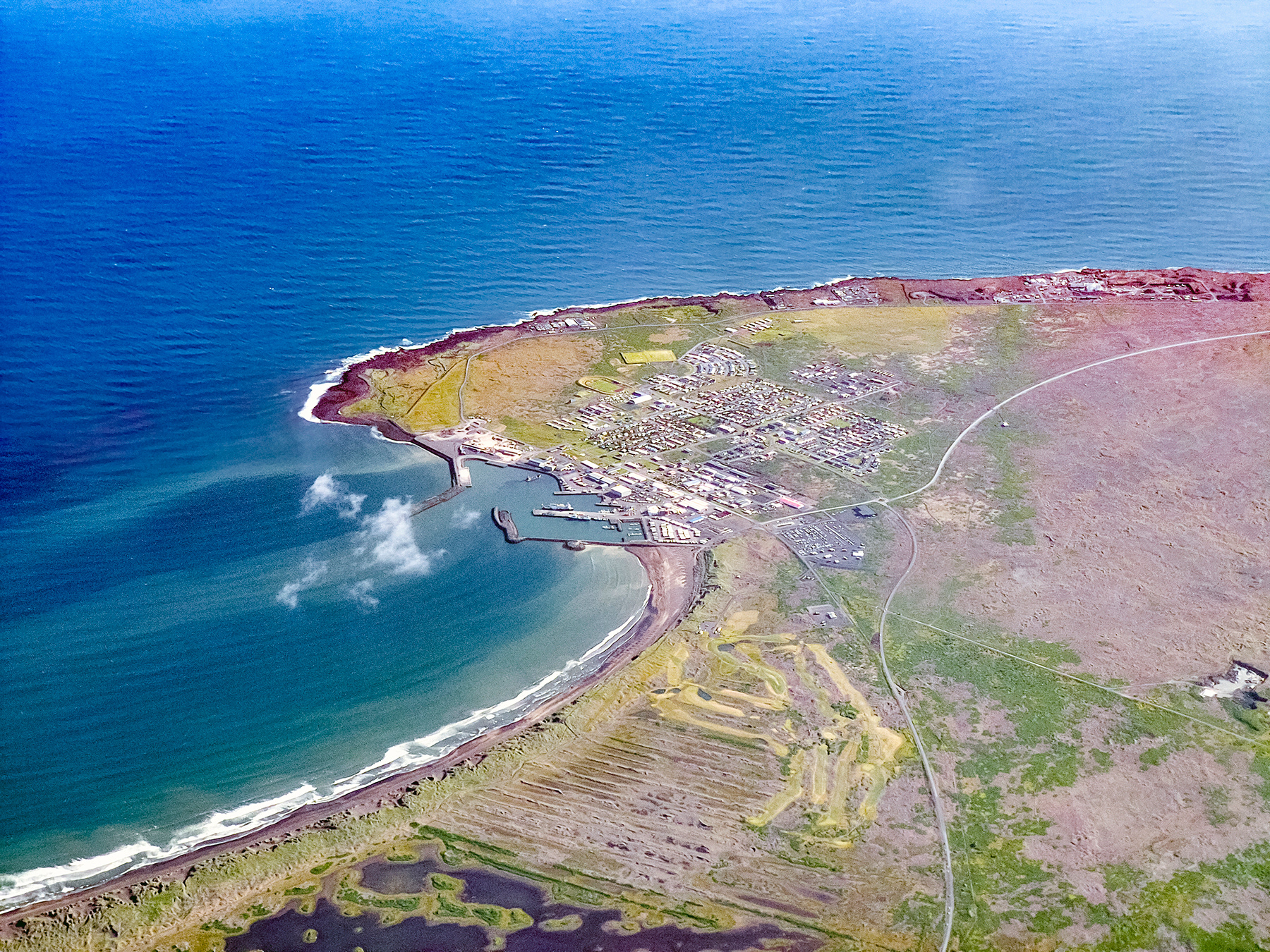
The town of Þorlákshöfn, Suðurland, Iceland.
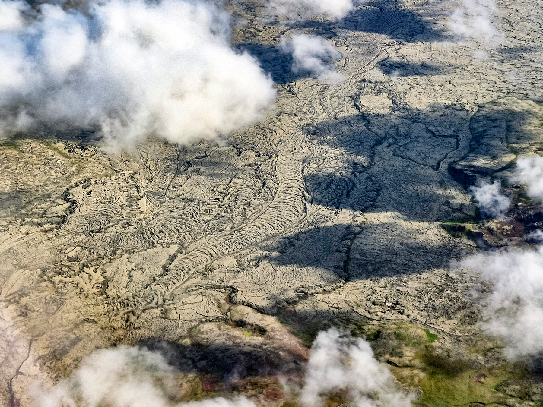
The solidified lava landscape of Southern Iceland
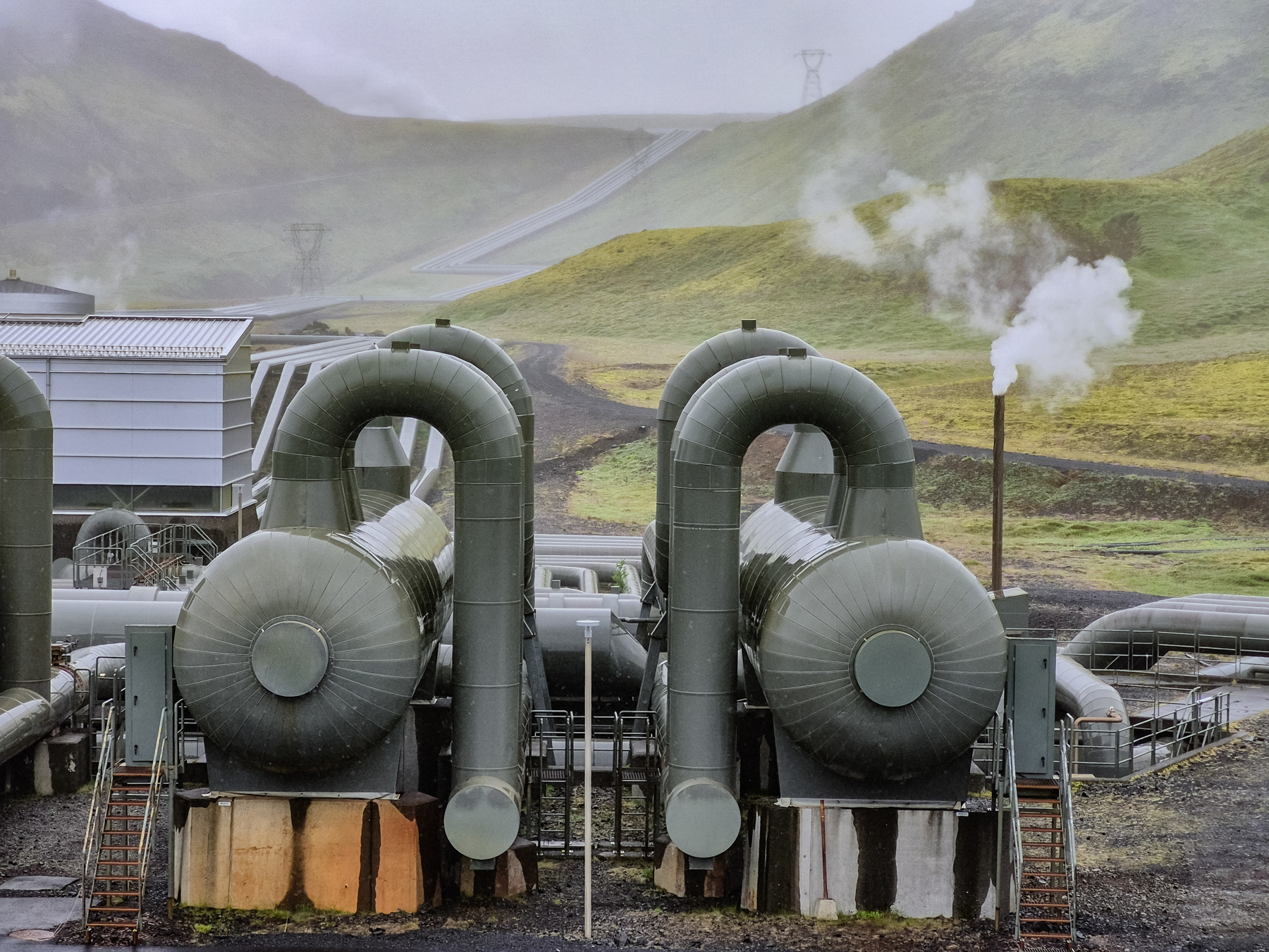
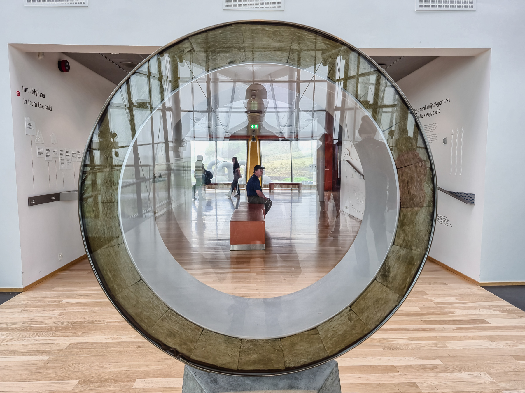
Hellisheiði Power Plant, Iceland, July 2025.

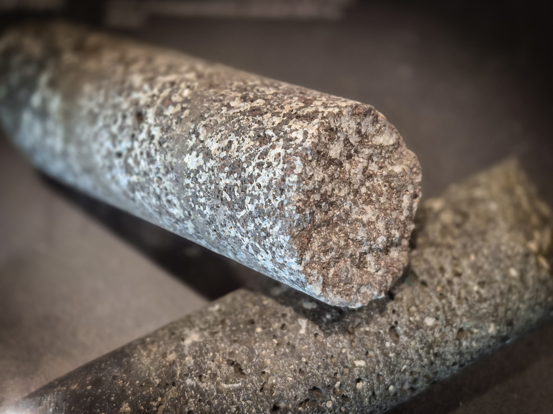
A three-headed drill.
Section of a tube similar to the ones transporting geothermal heated water to Reykjavik. It is delivered at about 85 degrees Celsius.
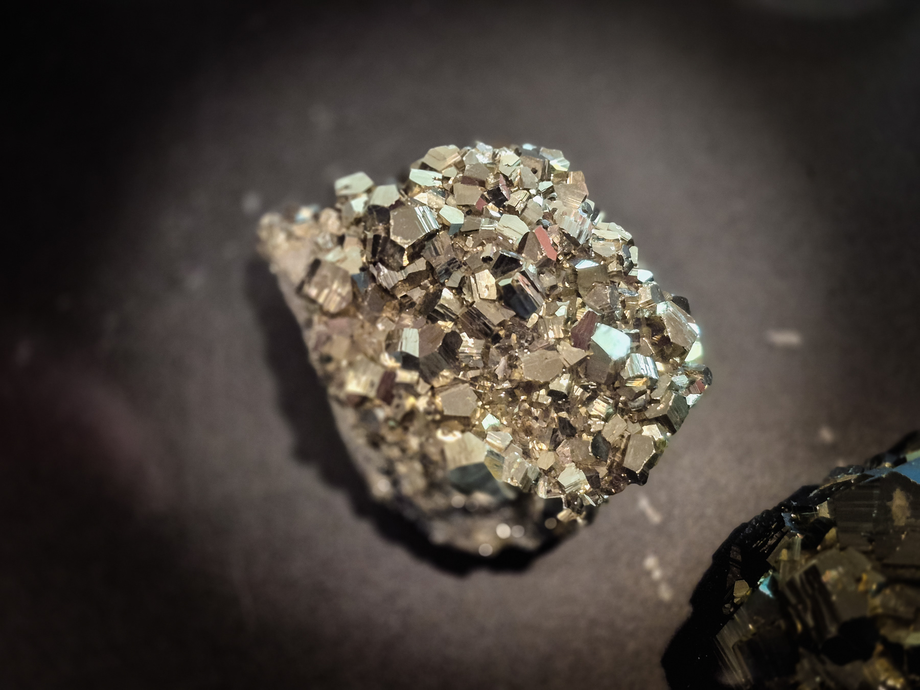
Pyrite ("Fool's gold")
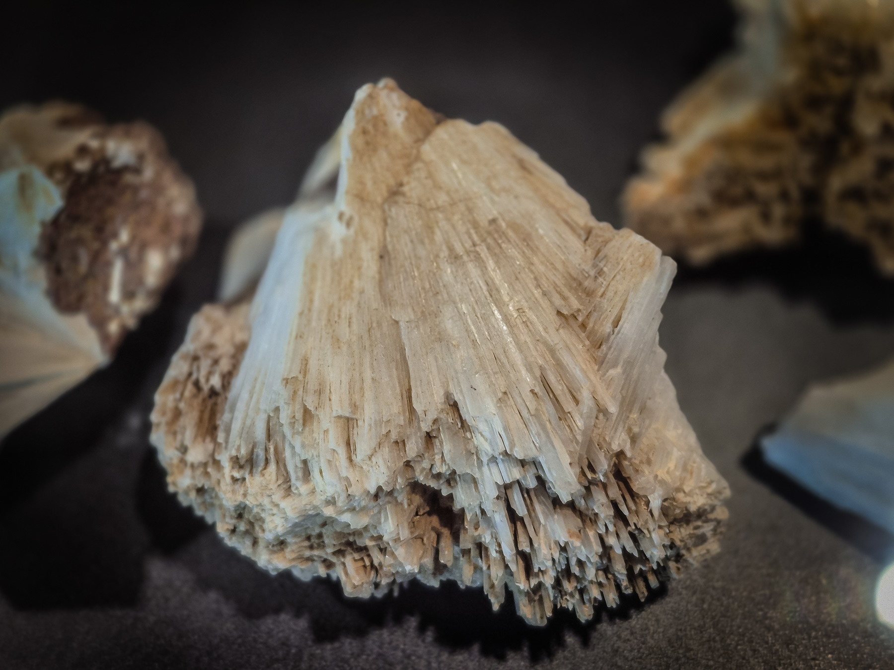
Apophyllite
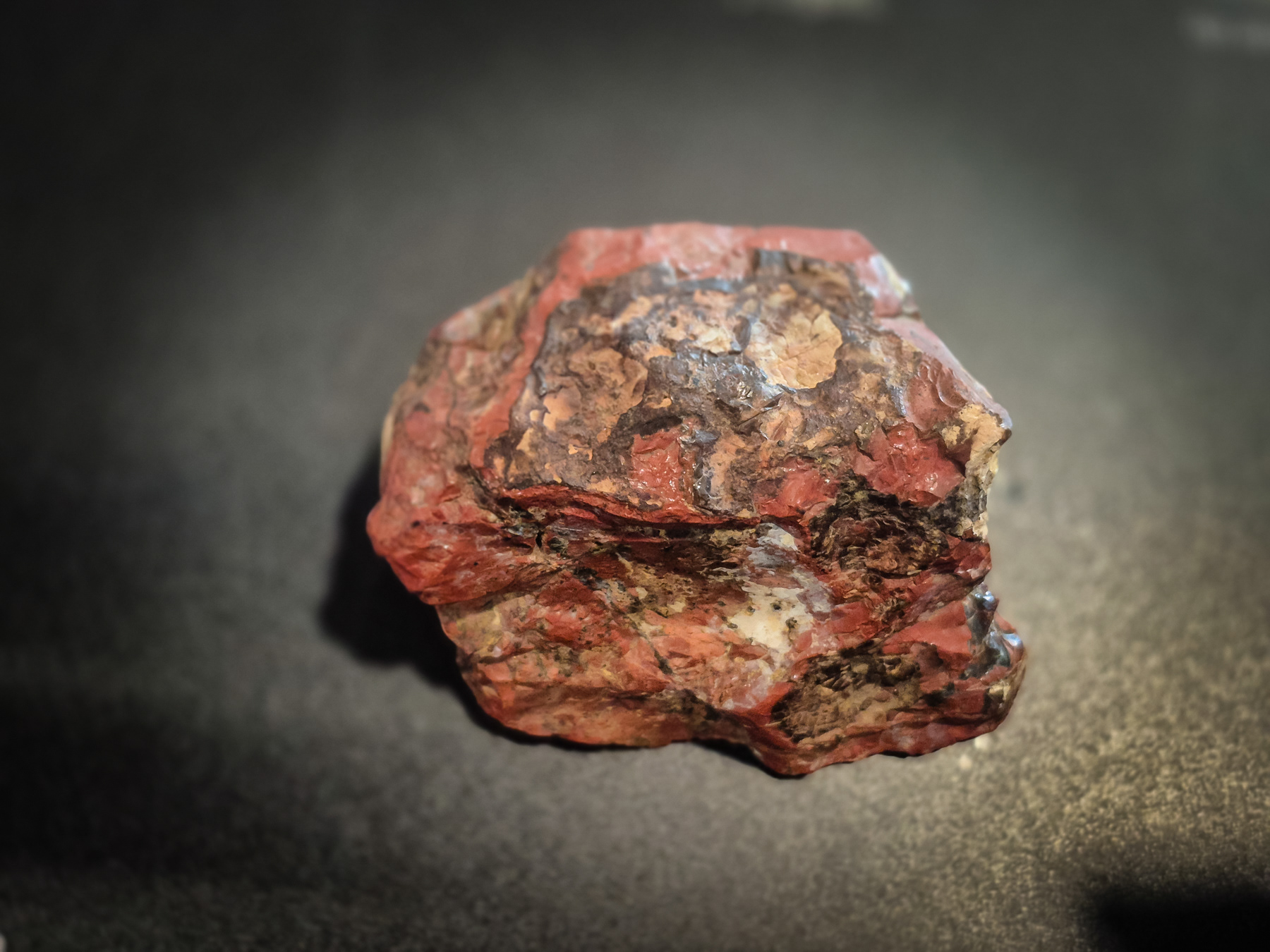
Jaspis
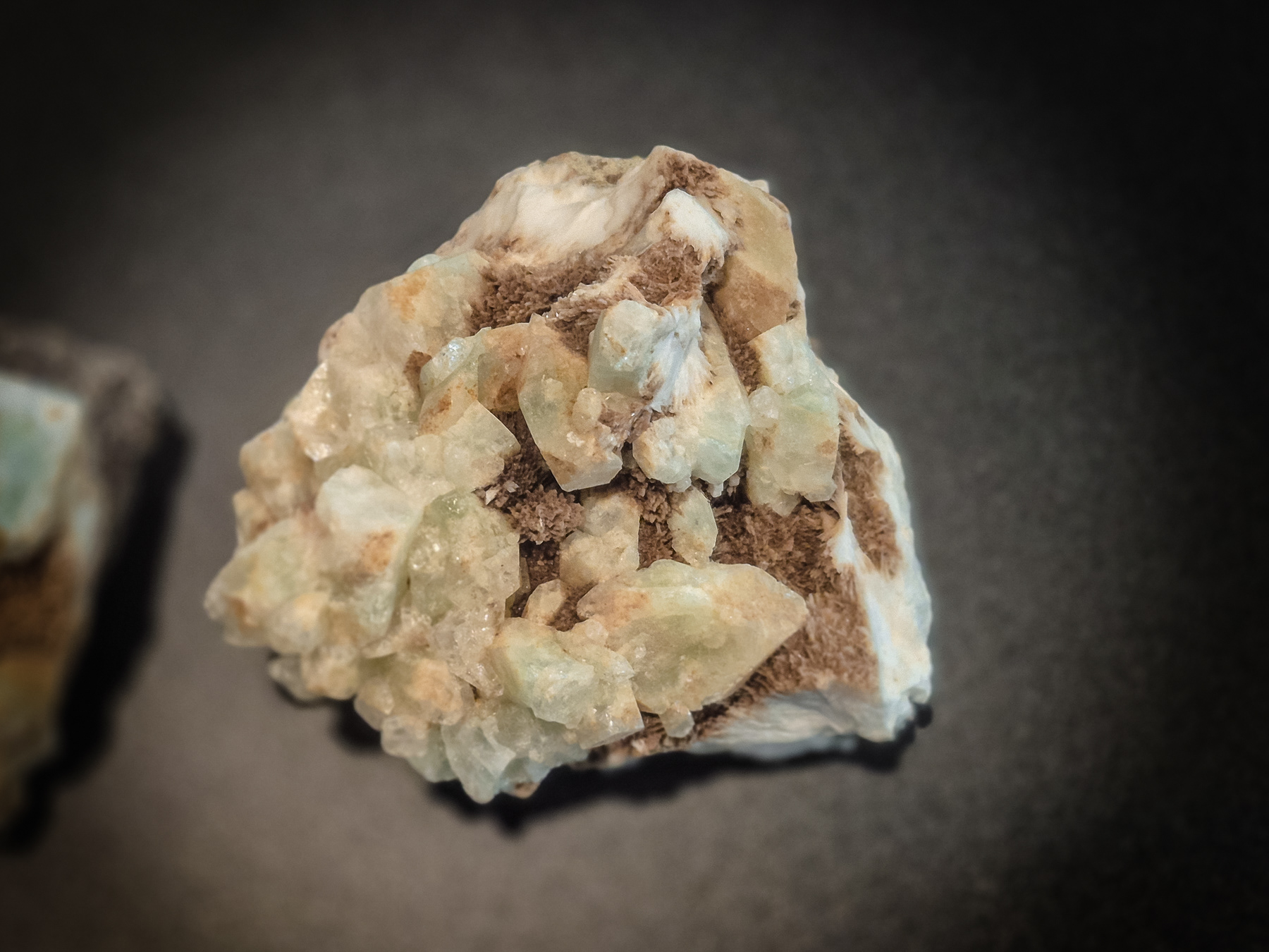
Scolesite
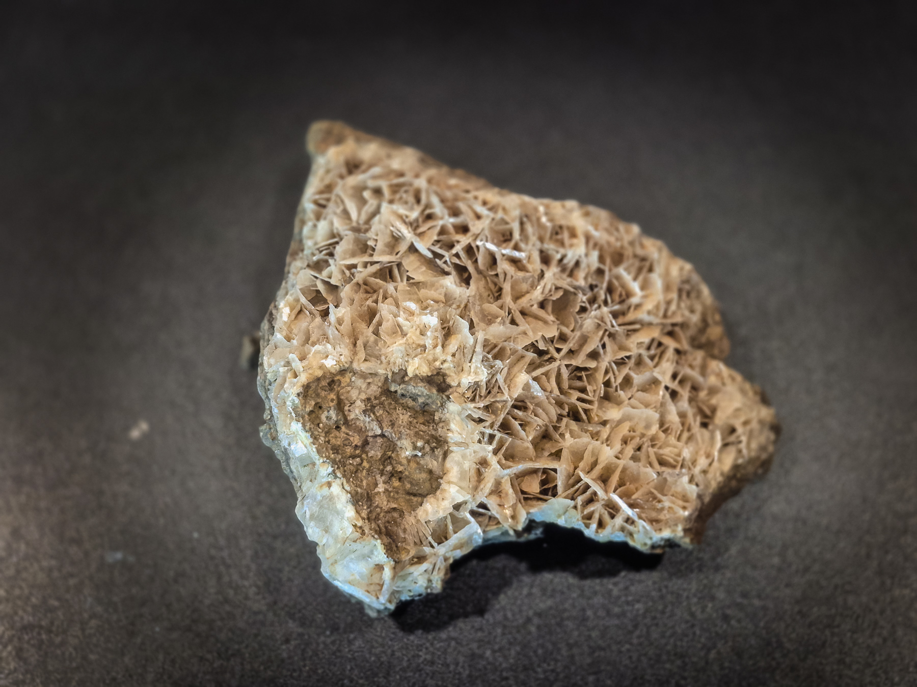
Barite
Calcite X - SulFix
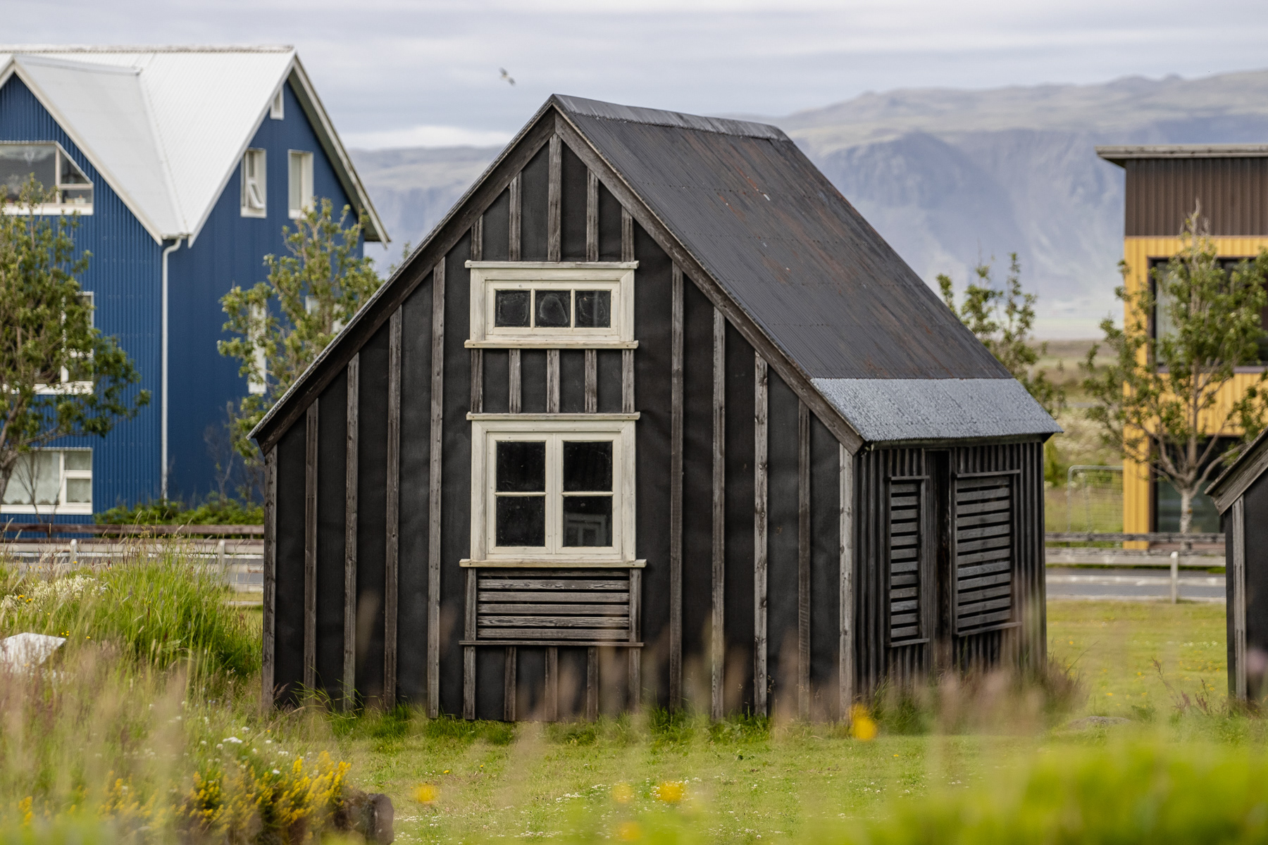
A historic Norwegian dark wooden cabin in Eyrarbakki, Iceland, July 2025.
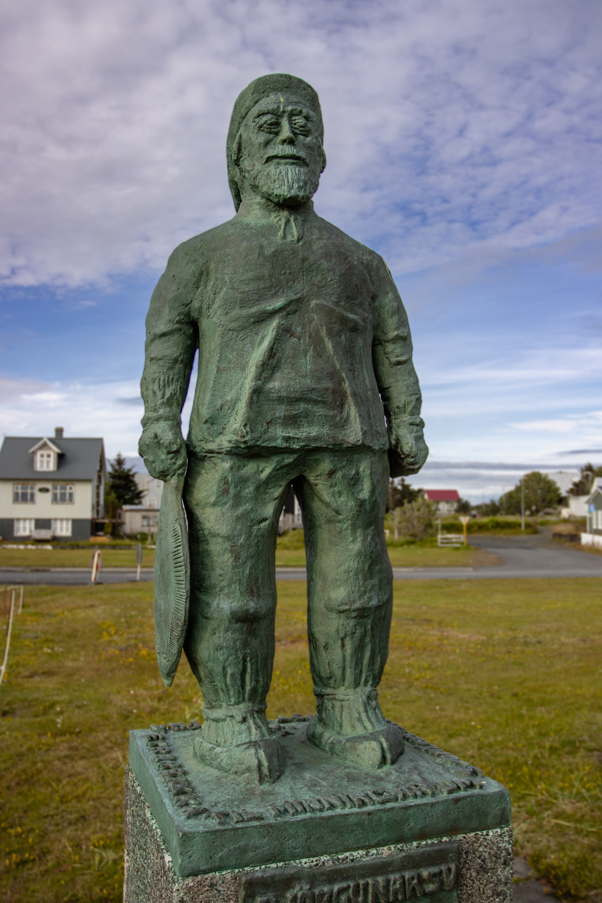
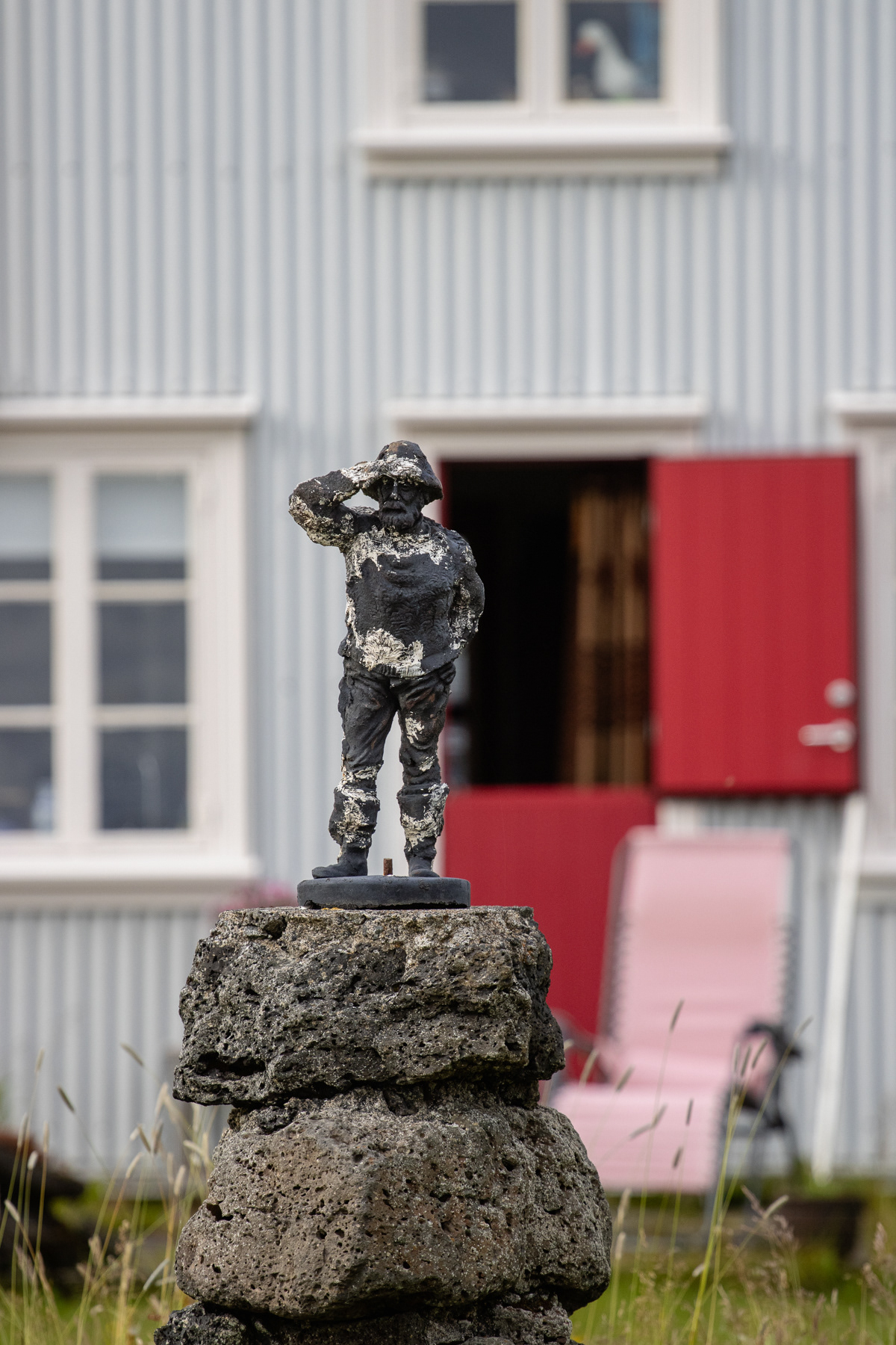
Statue of a fisherman
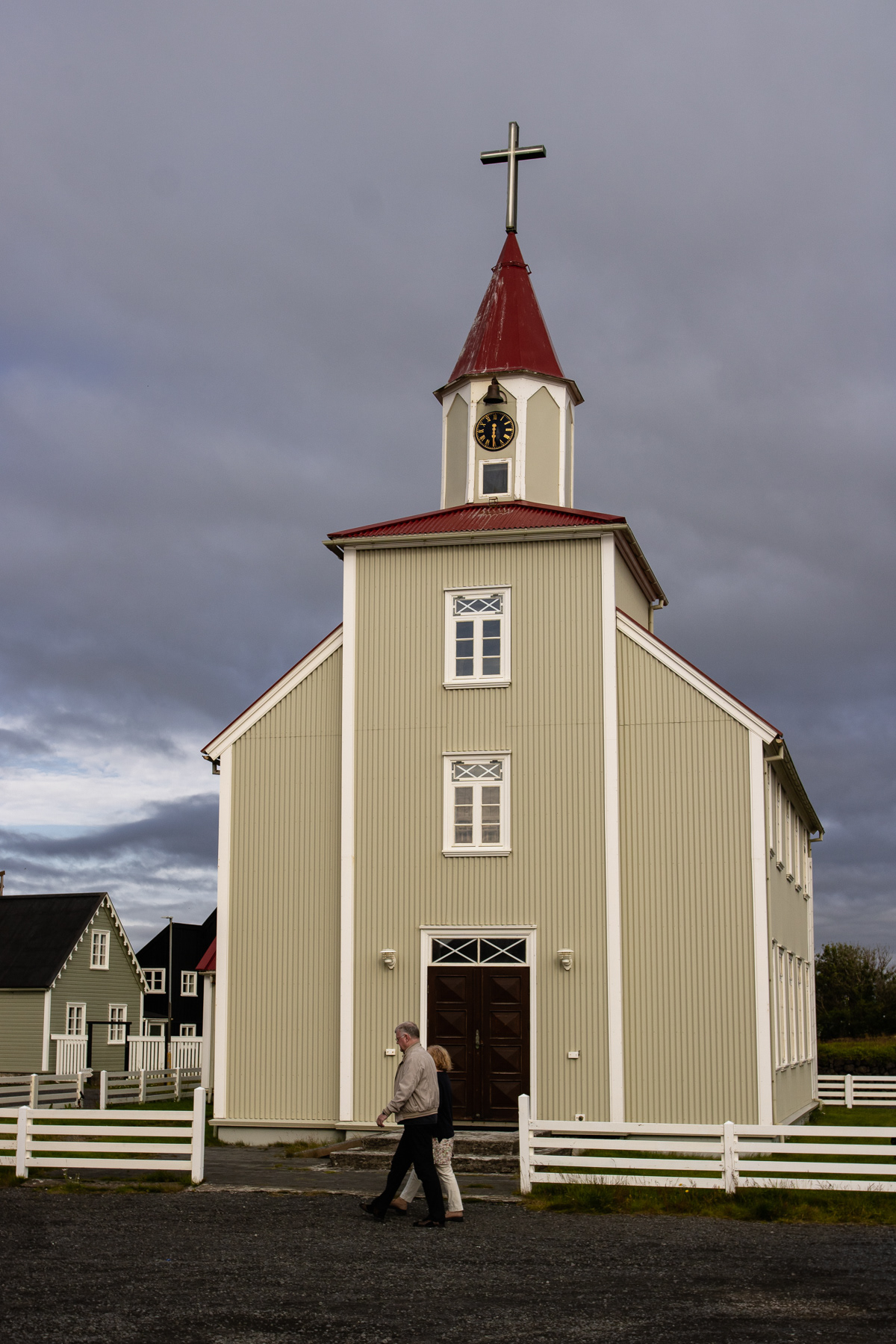
The Eyrarbakki church
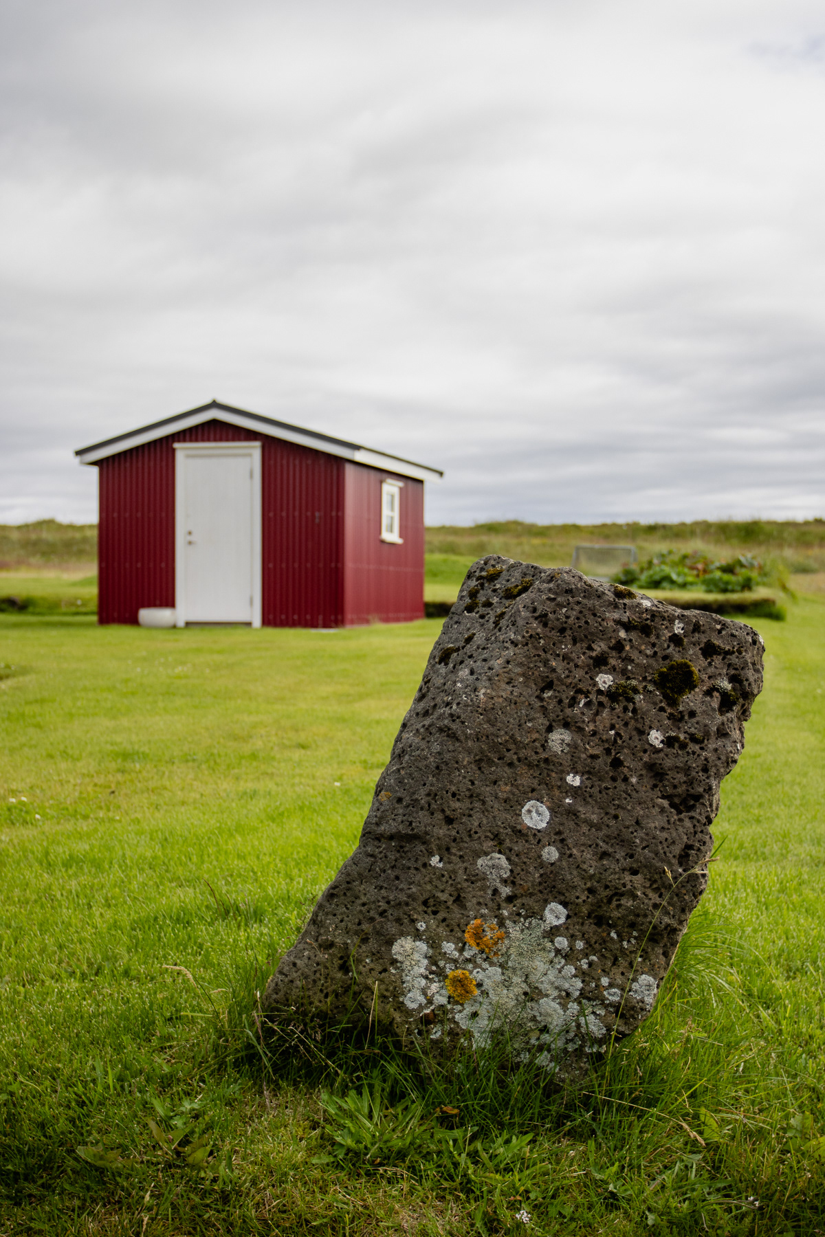
A tilted stone and a red cabin in Eyrarbakki
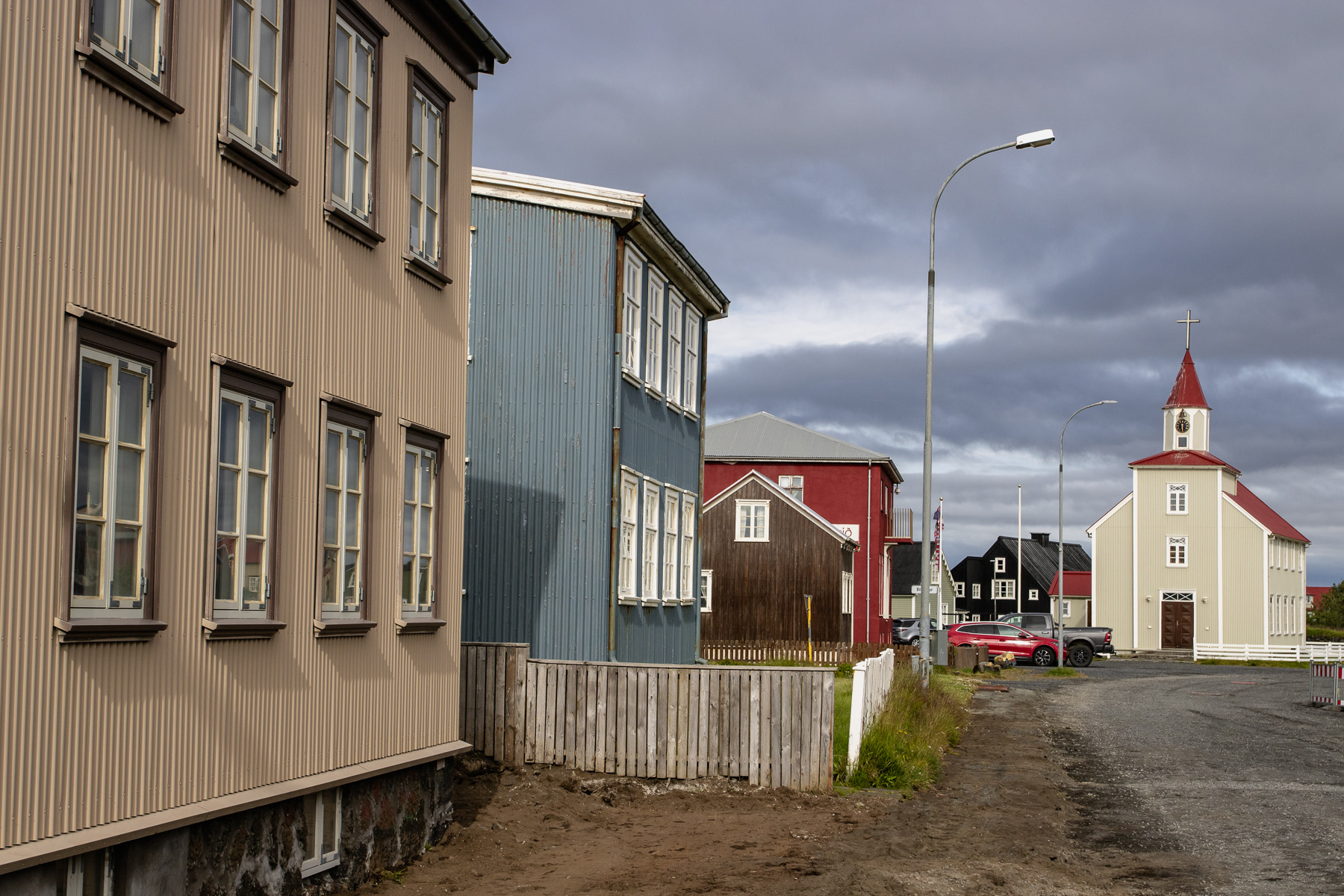
Part of the main street of Eyrarbakki, with the church.
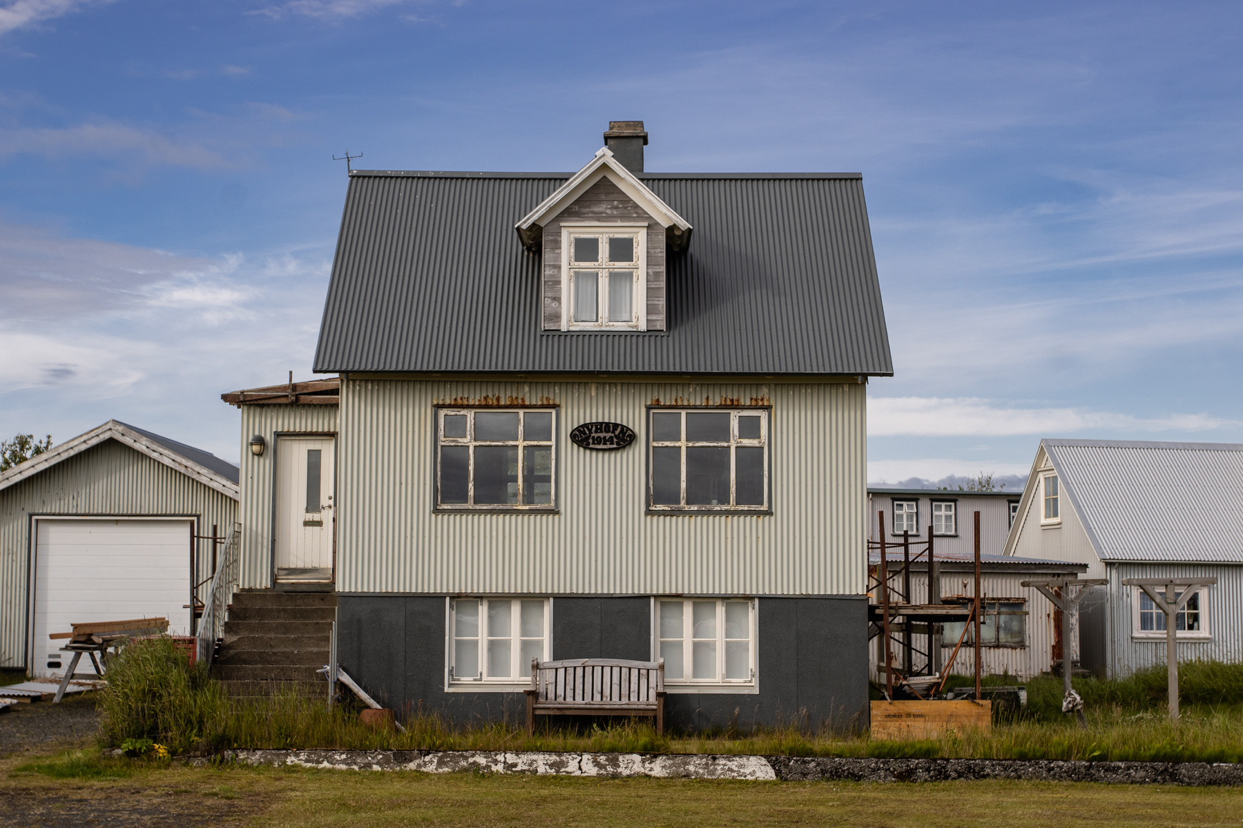
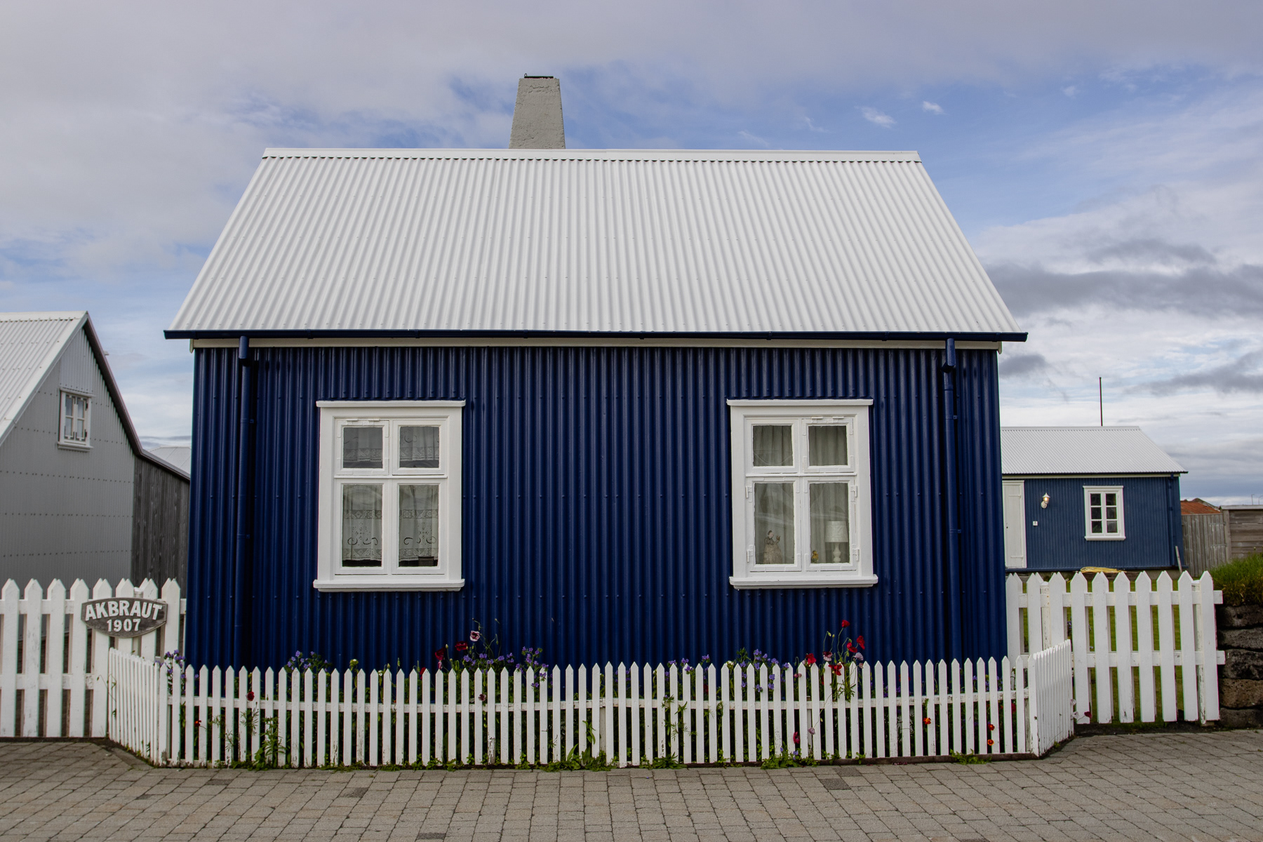
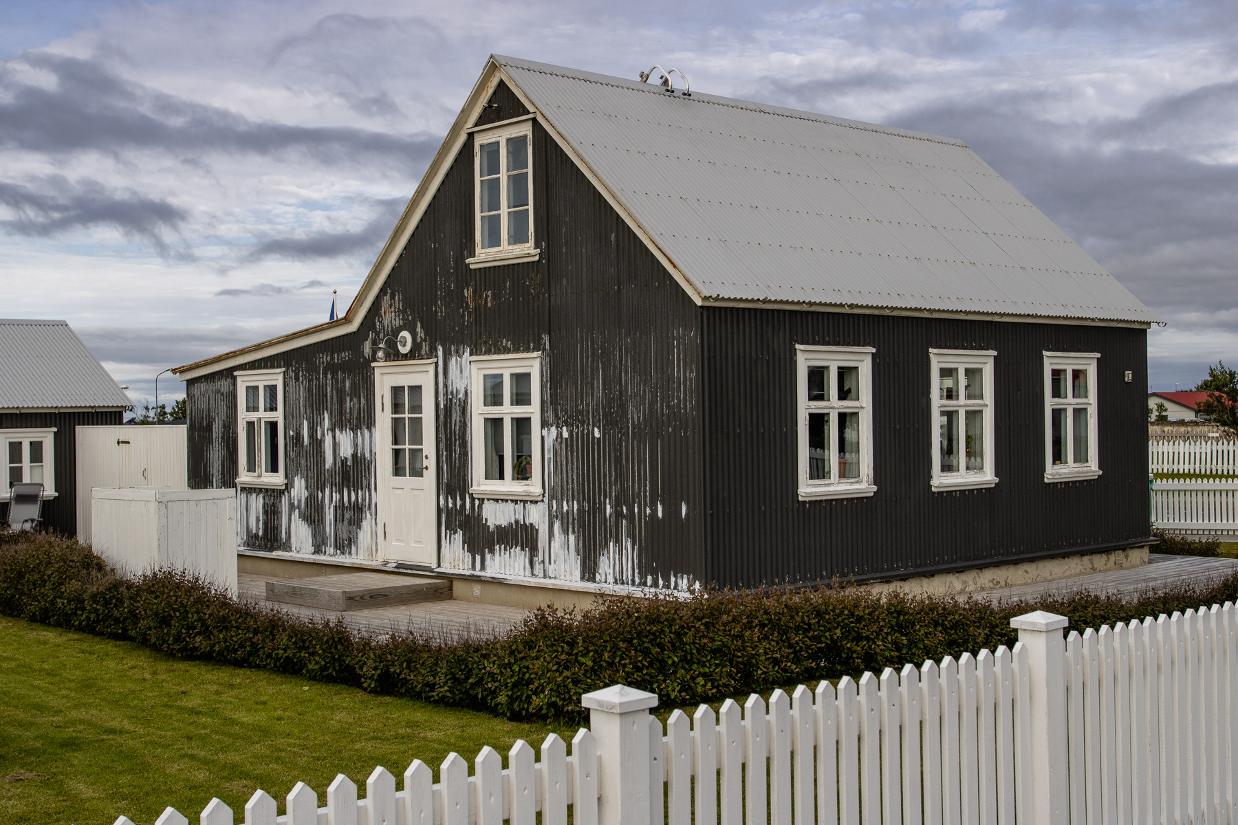
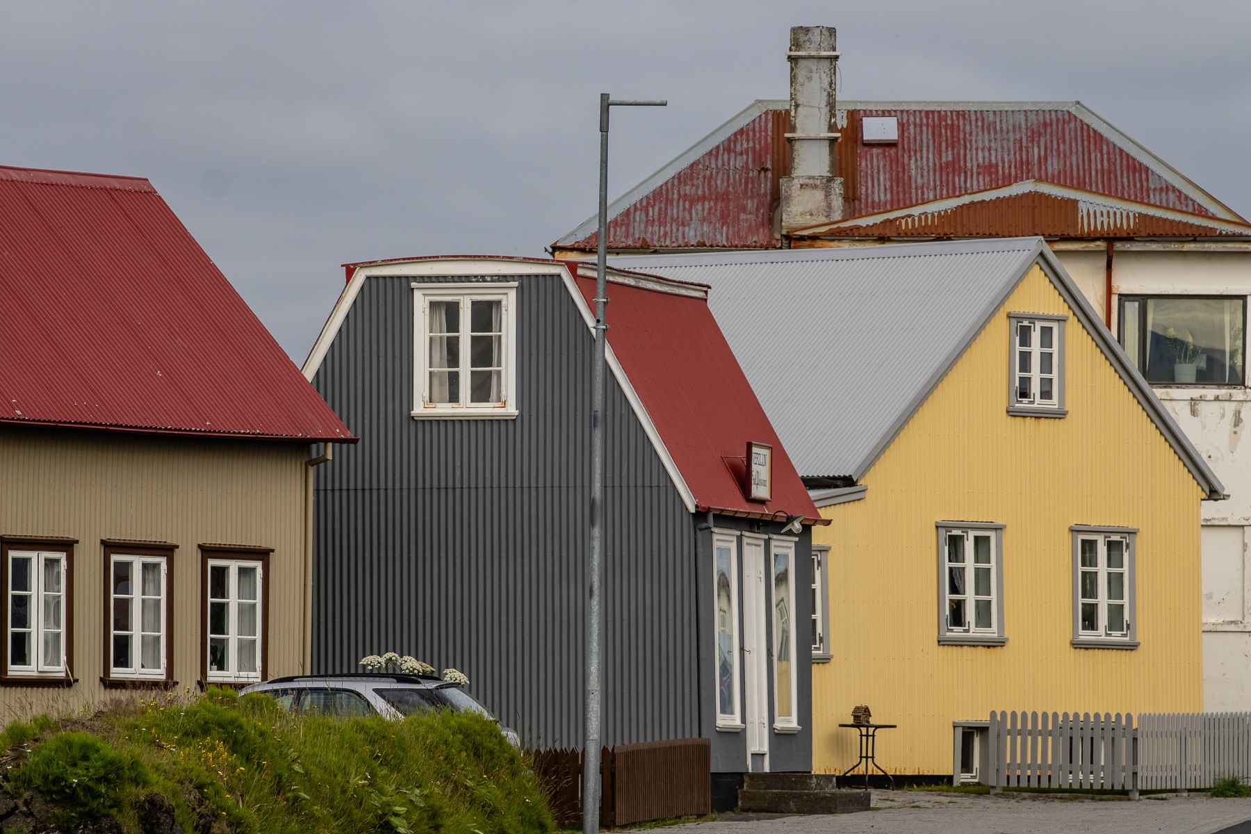
Historical houses of Eyrarbakki
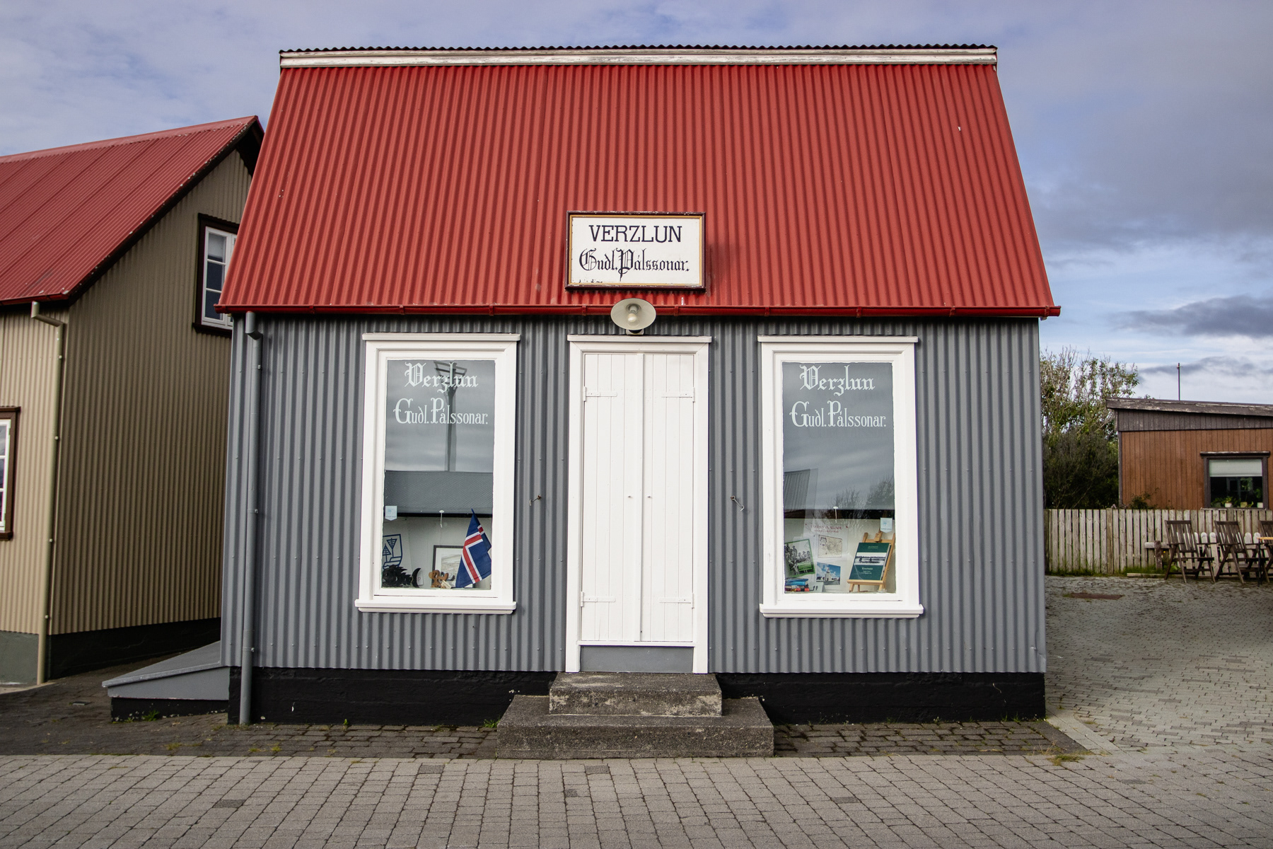
Trading (Verzlun) post
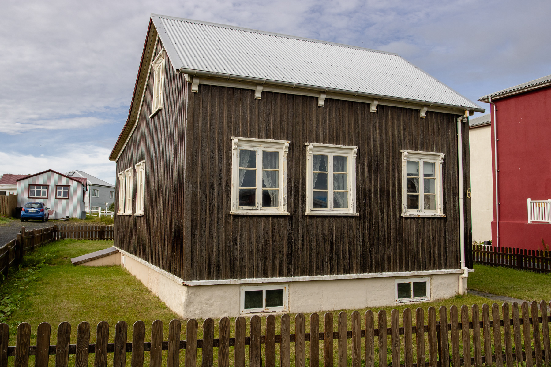
More homes in Eyrarbakki.
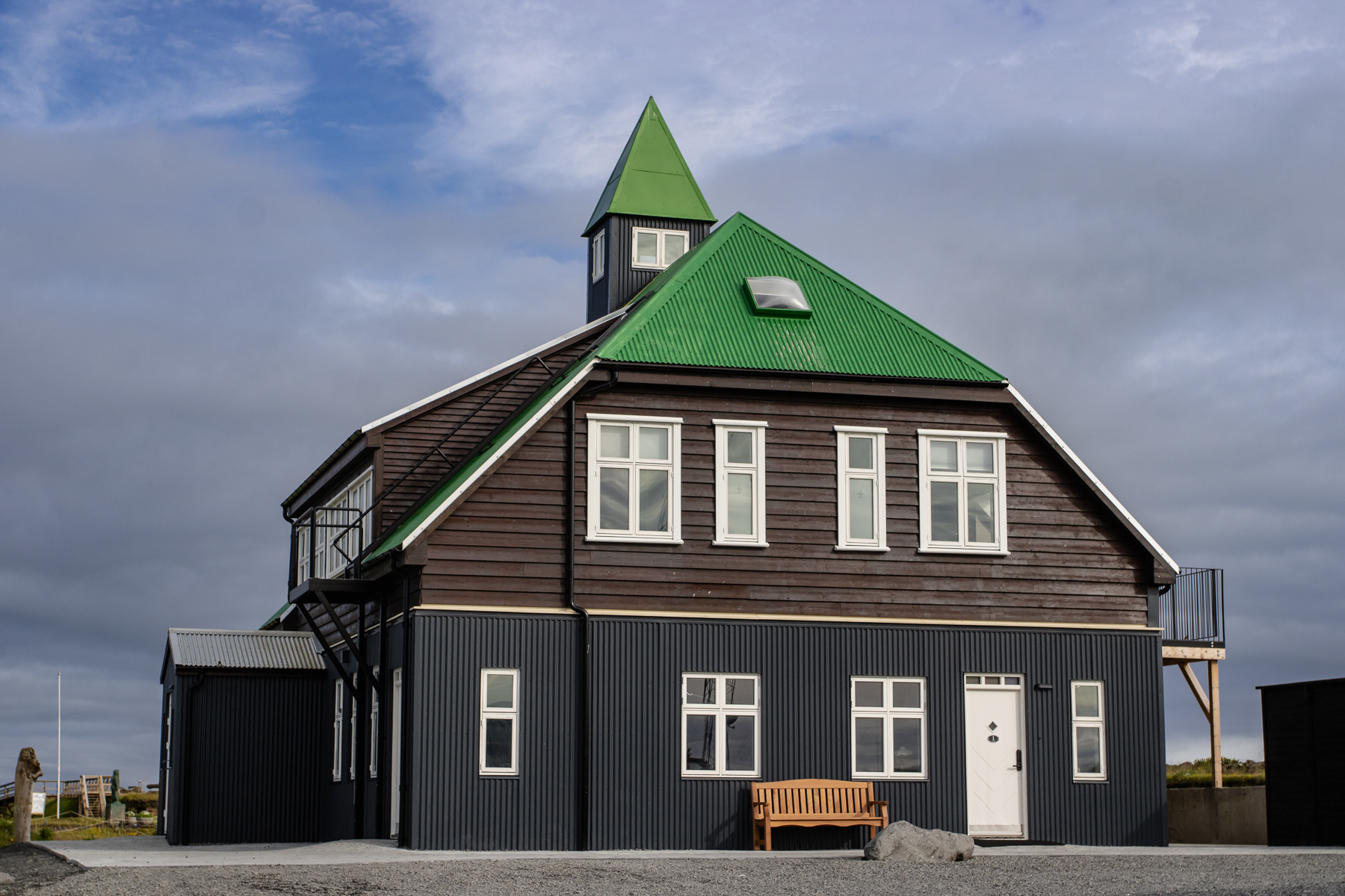
One of the very few biggest buildings found on a stroll through Eyrarbakki.
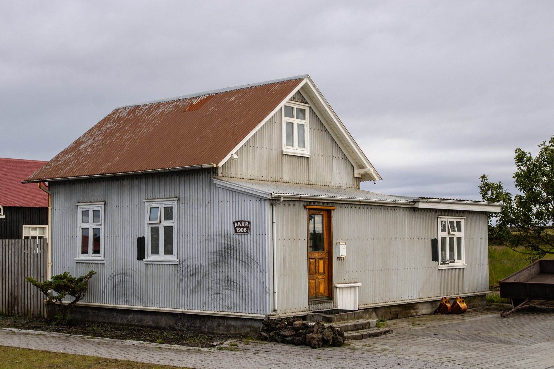
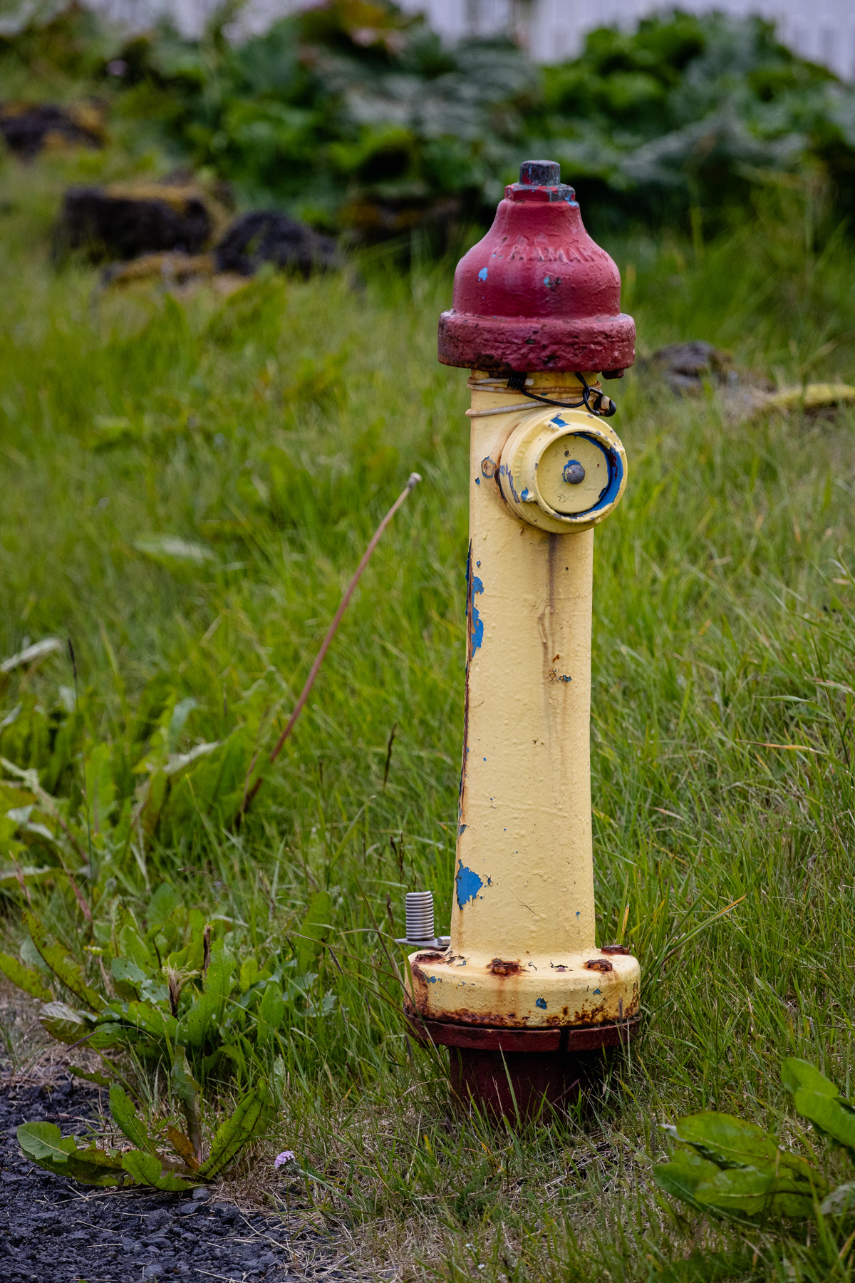
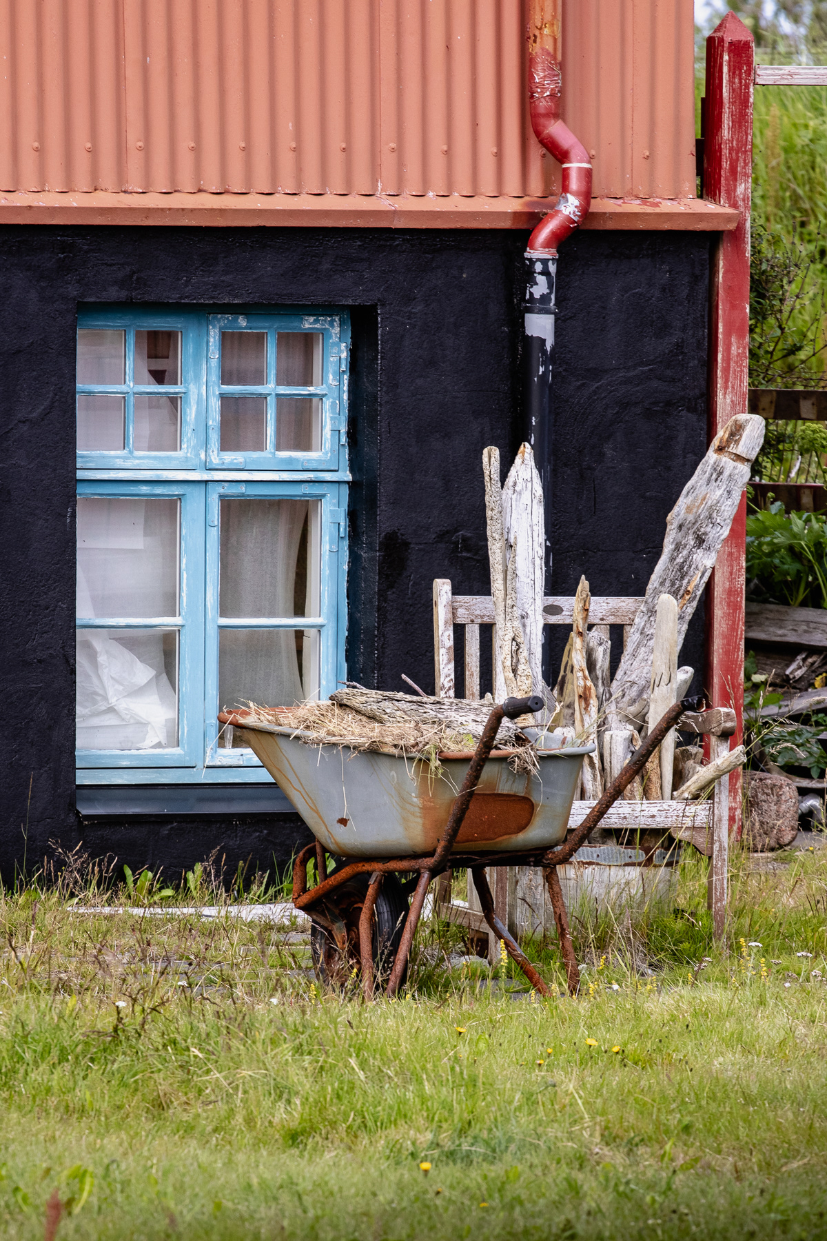
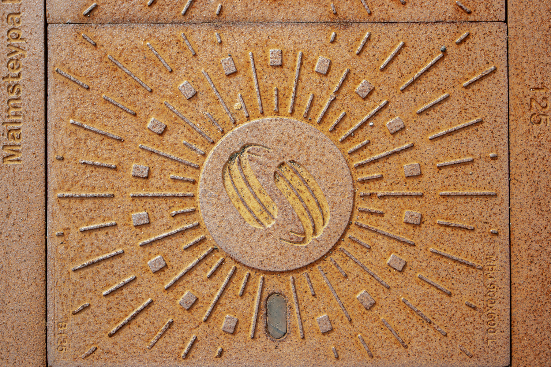
Details of Eyrarbakki.
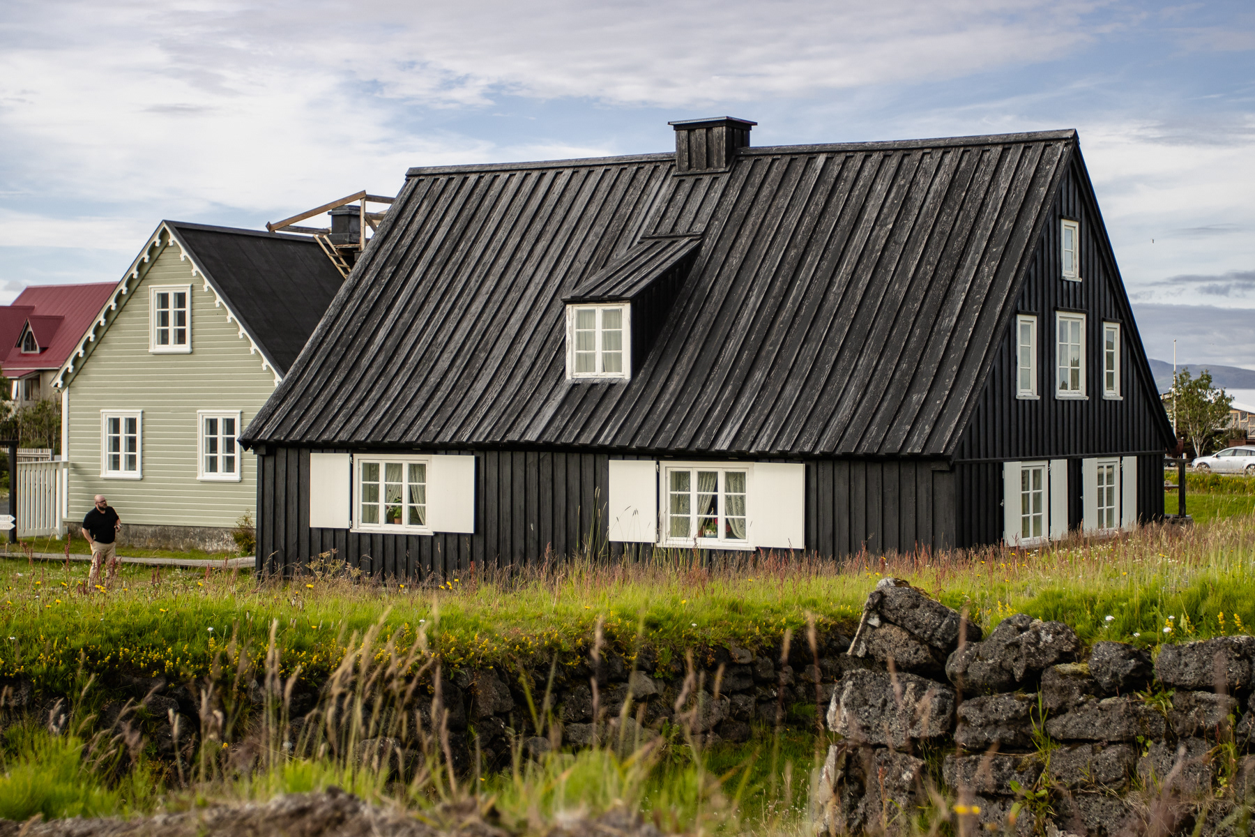
The oldest timber bigger house of Iceland, now the Árnesinga Folk Museum.
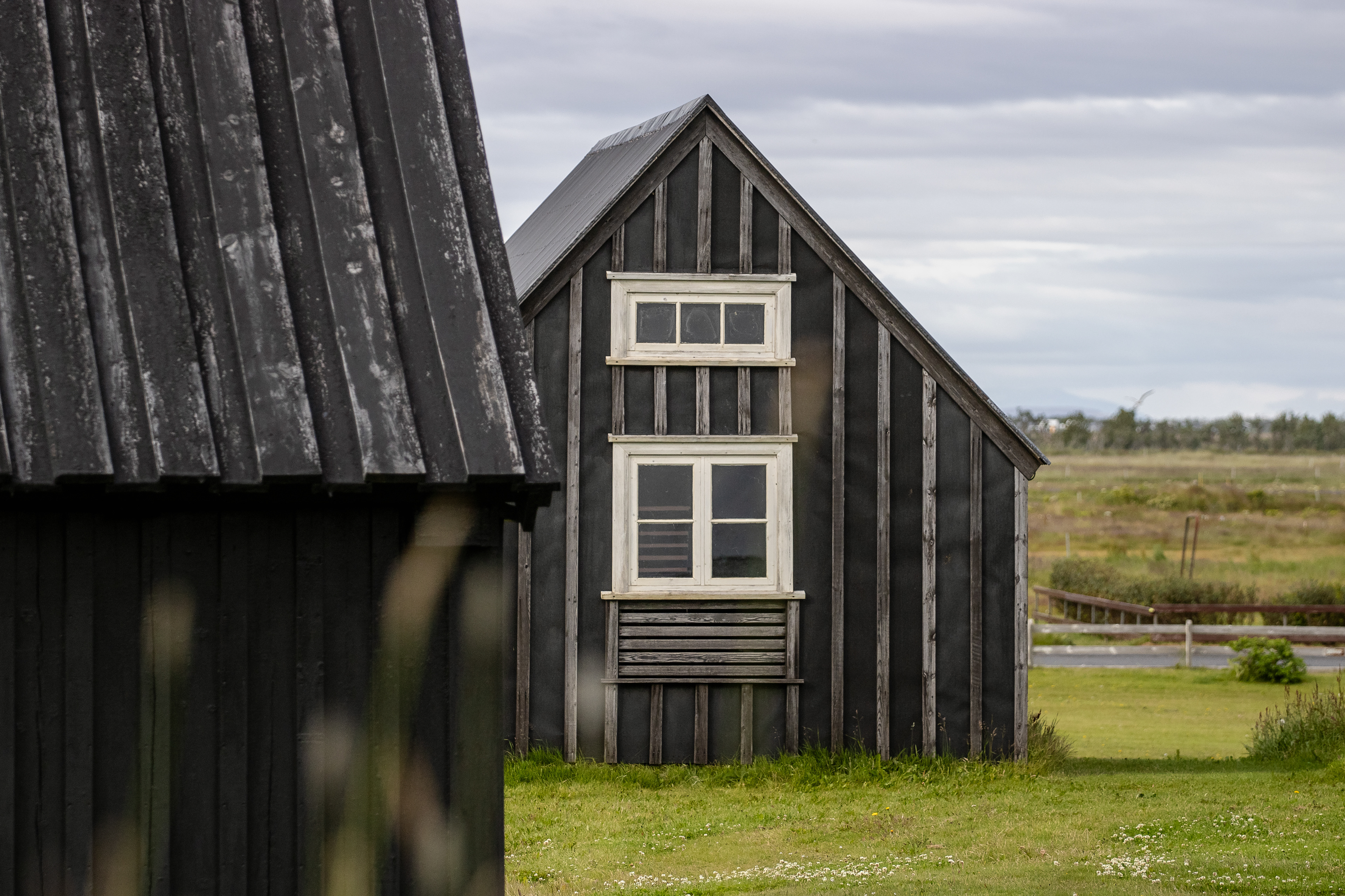
A historic Norwegian wooden cabin, now part of the Árnesinga Folk Museum.
Work in progress.
A small statue in a private garden.
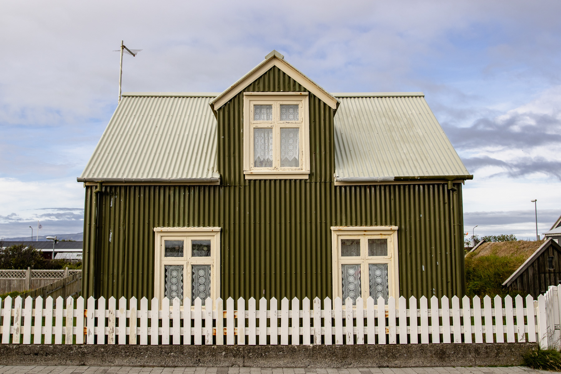
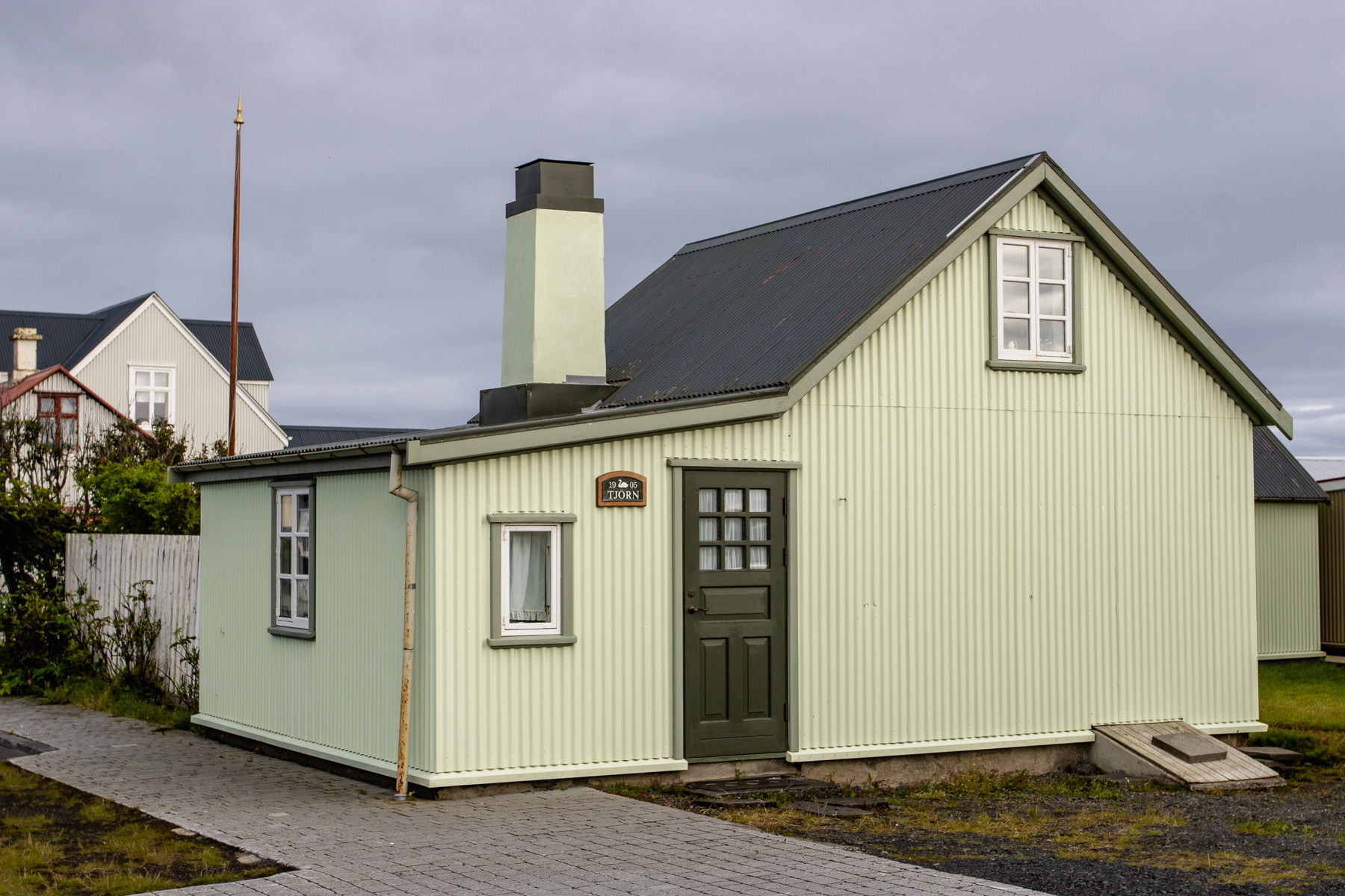
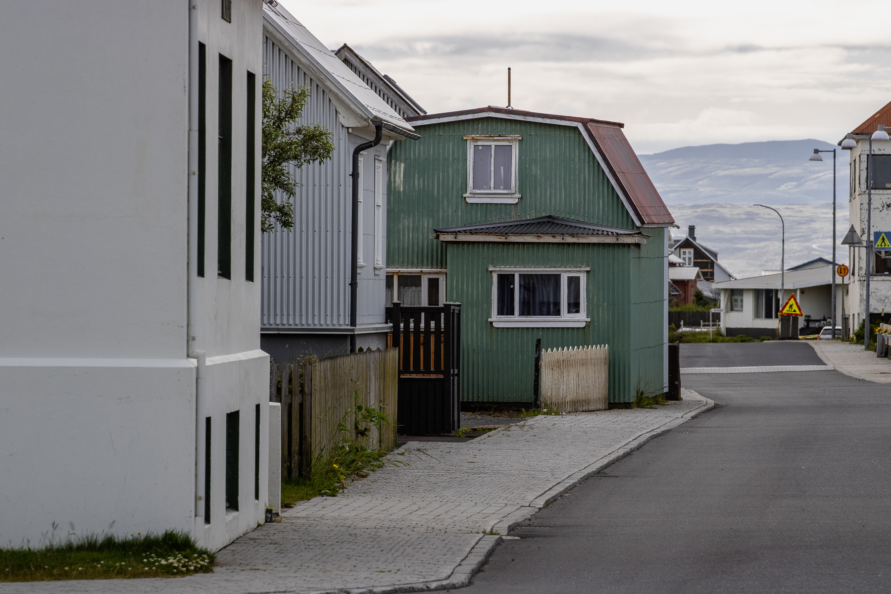
A little green house.
Street view in Eyrarbakki
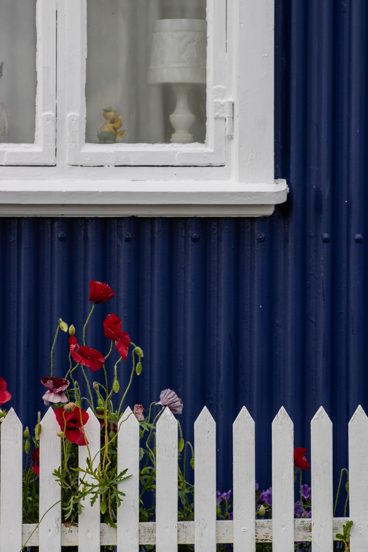
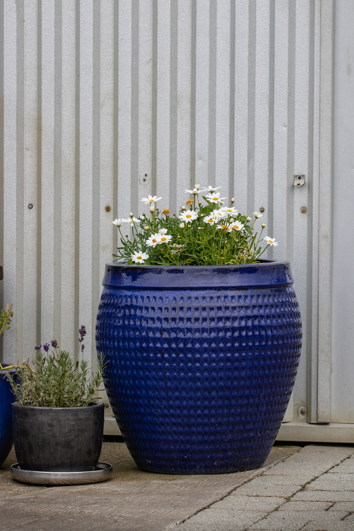
Details in Eyrarbakki.
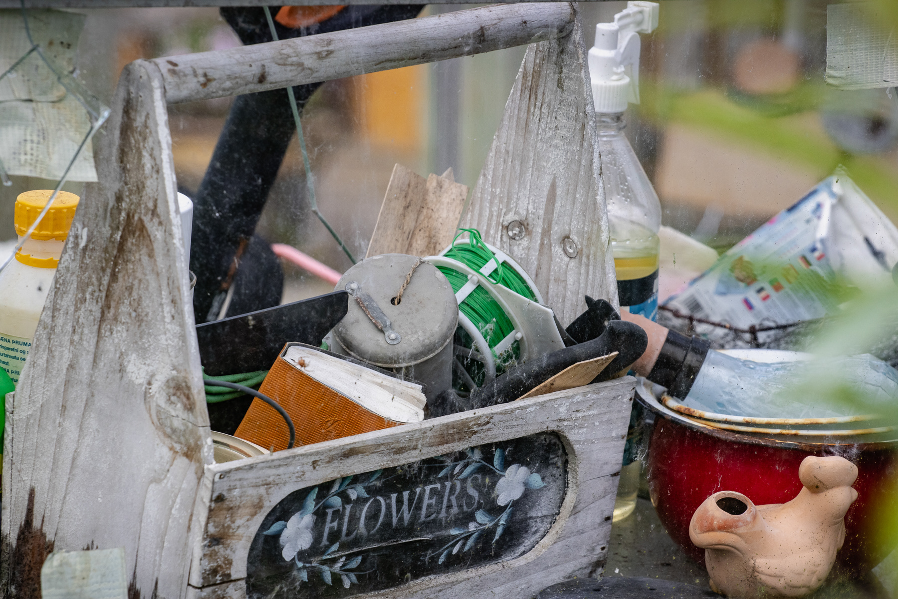
Details in Eyrarbakki.
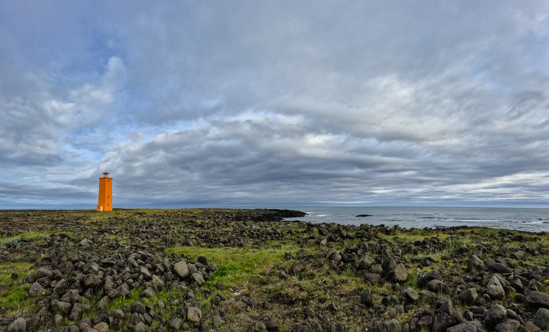
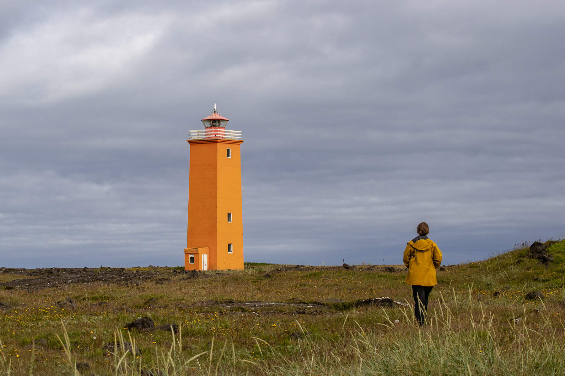
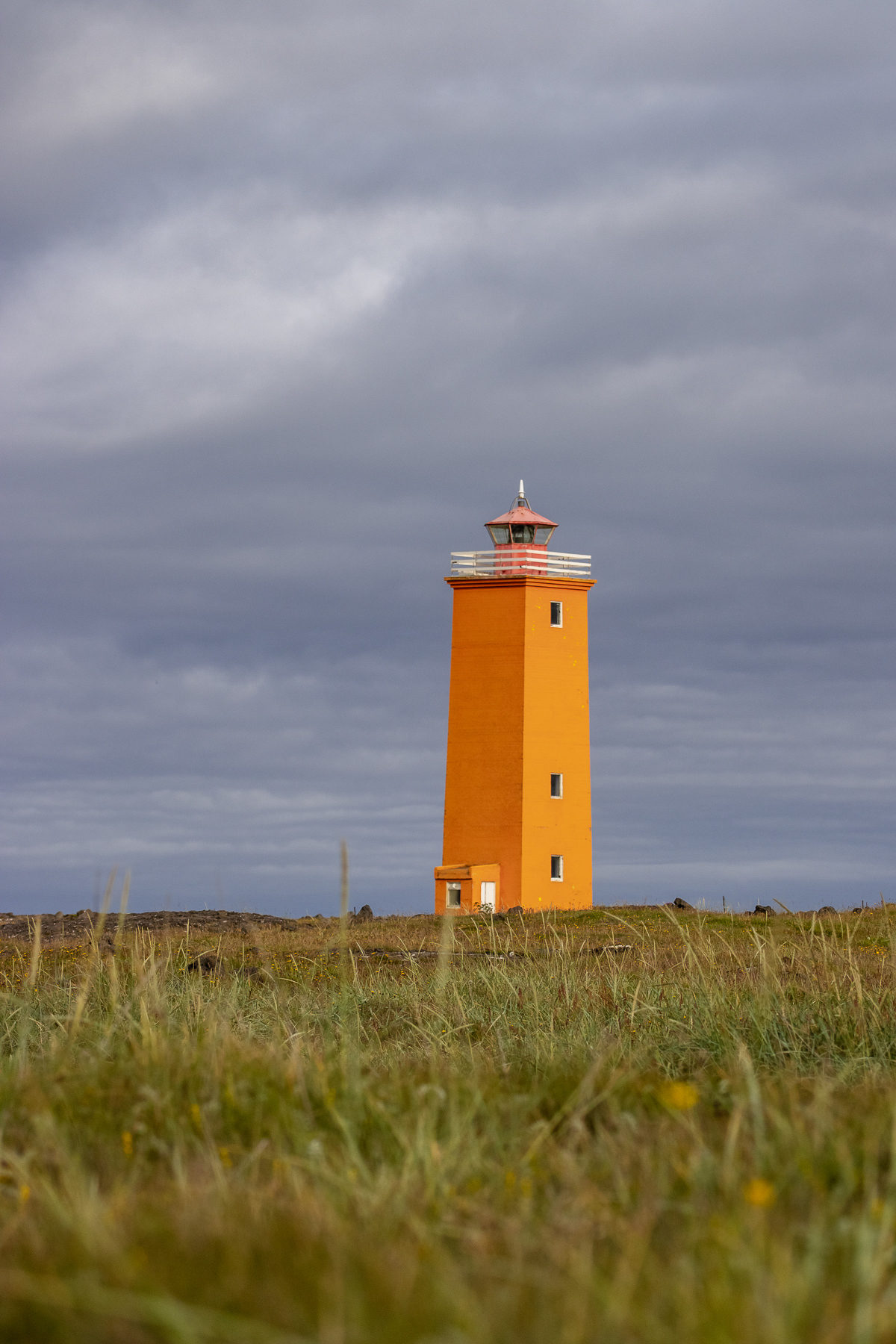
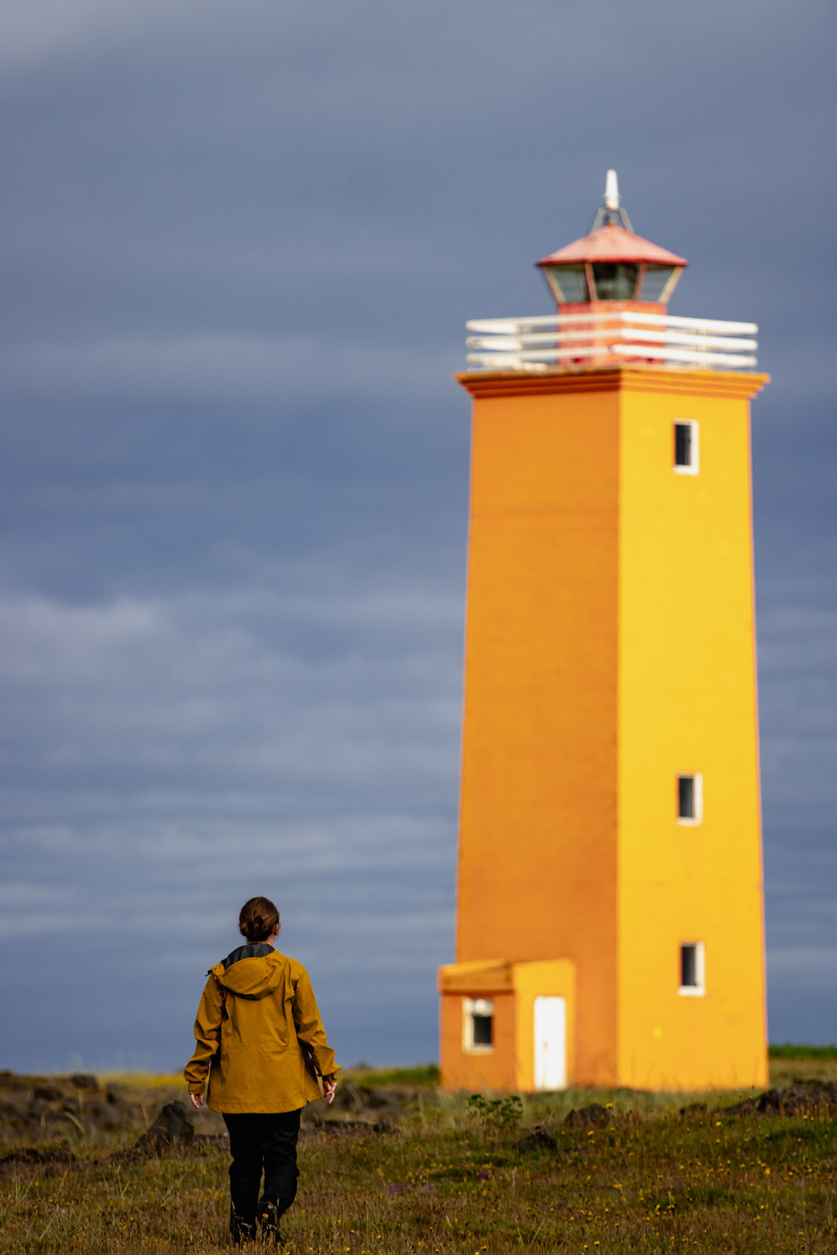
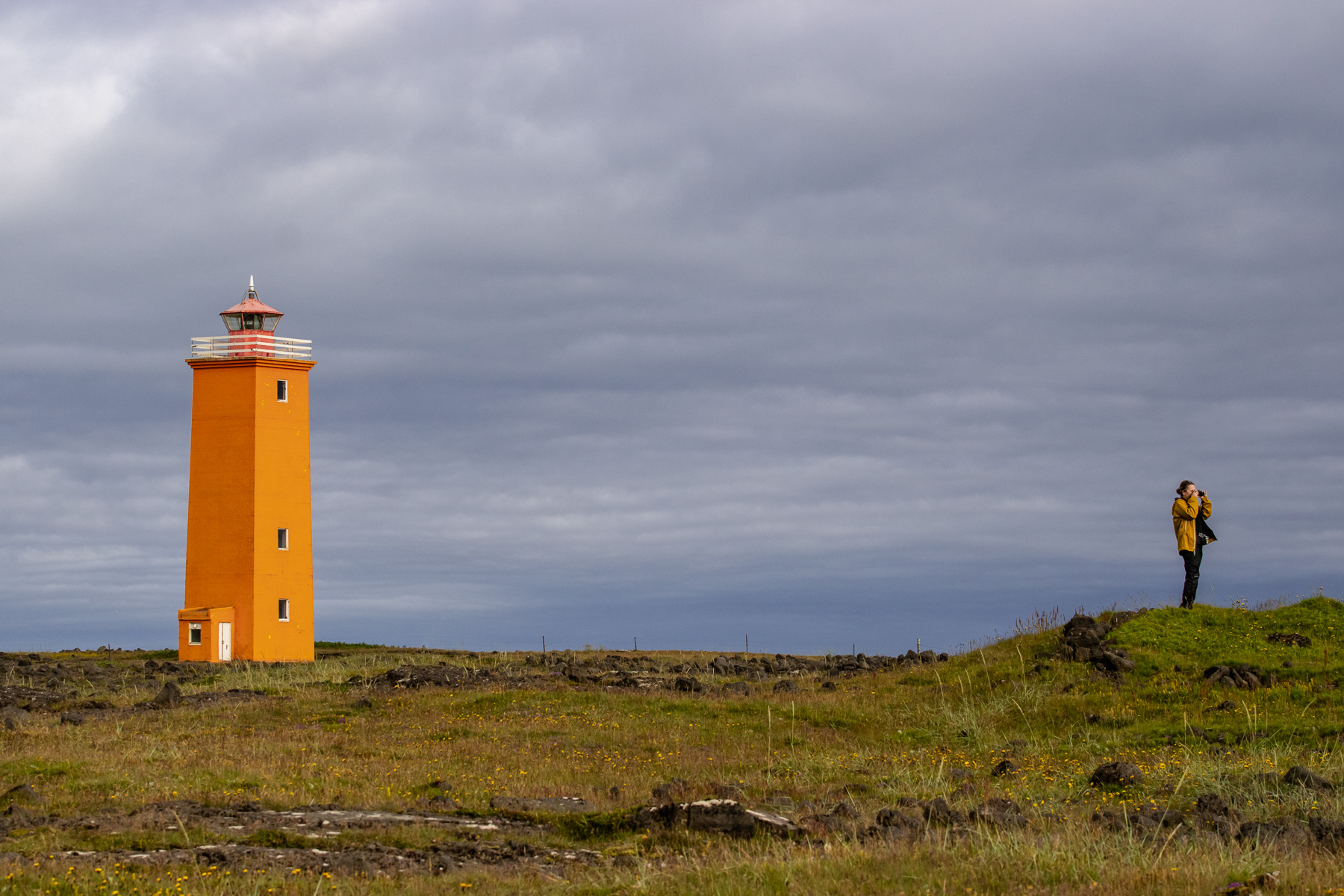
Selvogsviti Lighthouse, Suðurland, Iceland, July 2025.
The rocky coast of Southwestern Suðurland.
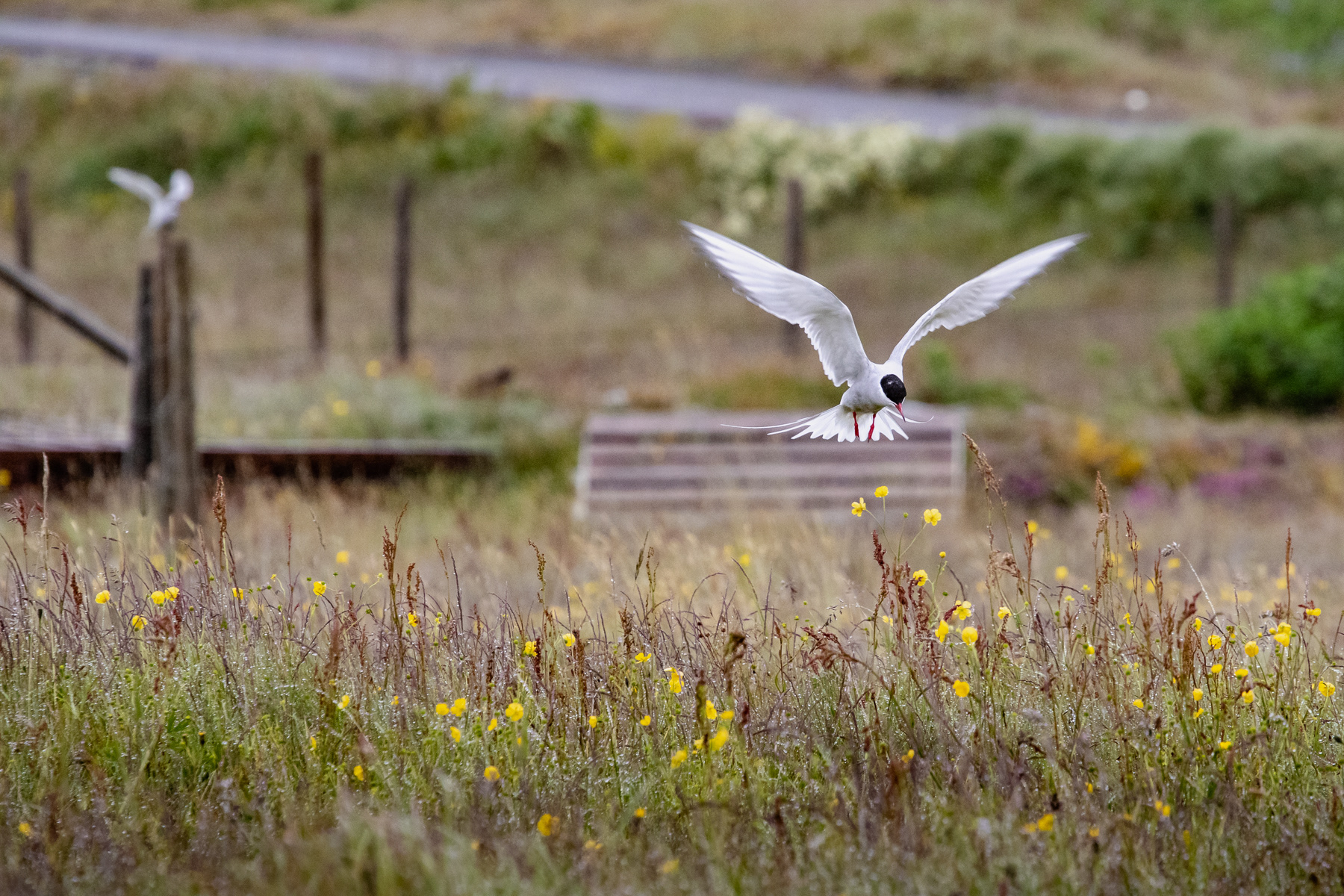
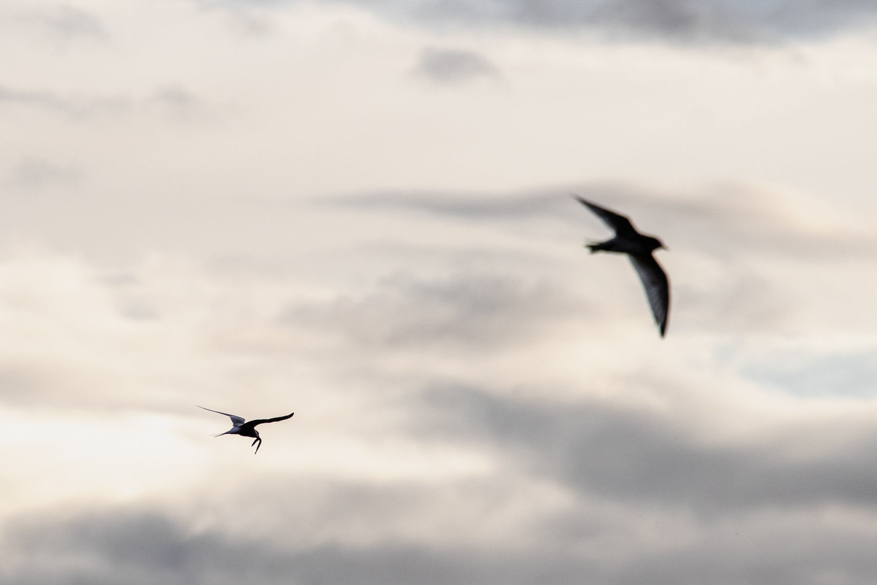
Arctic terns in action.
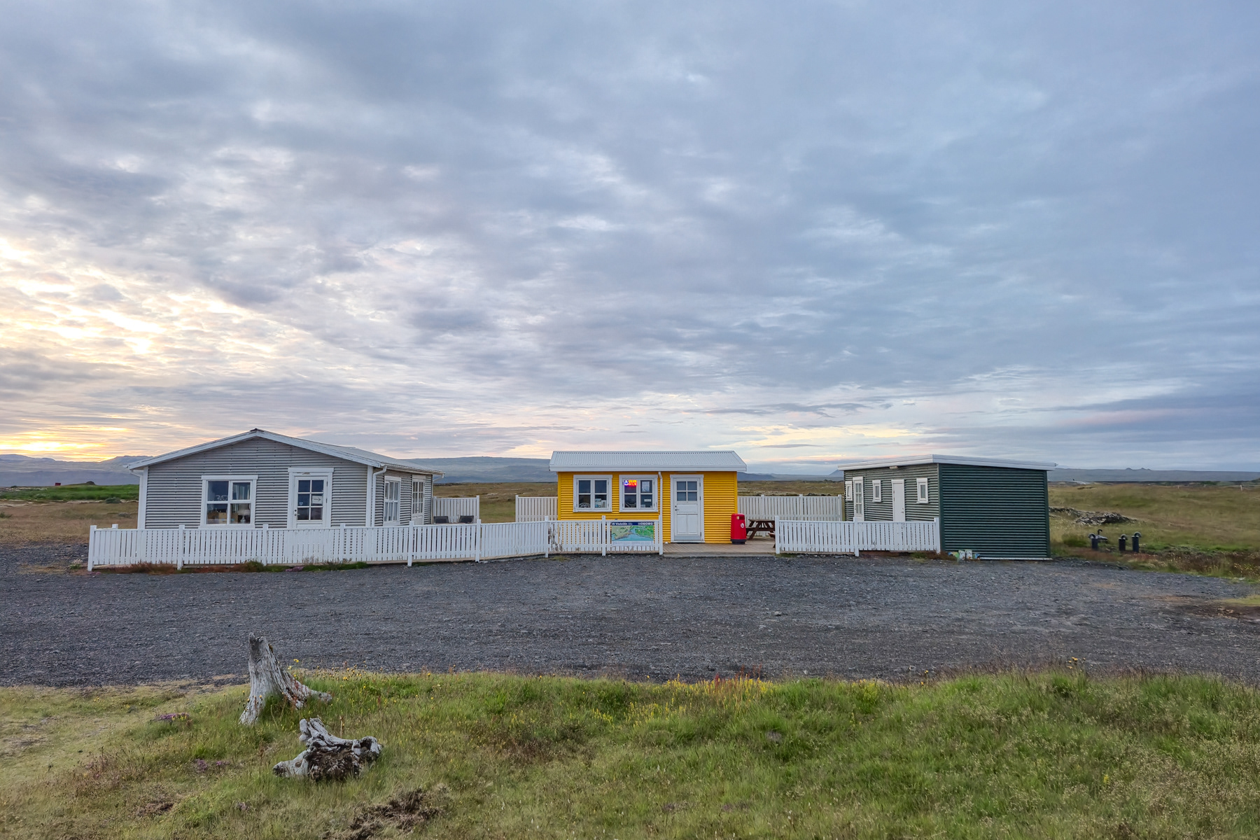
A local hot dog place, Southwestern Suðurland.
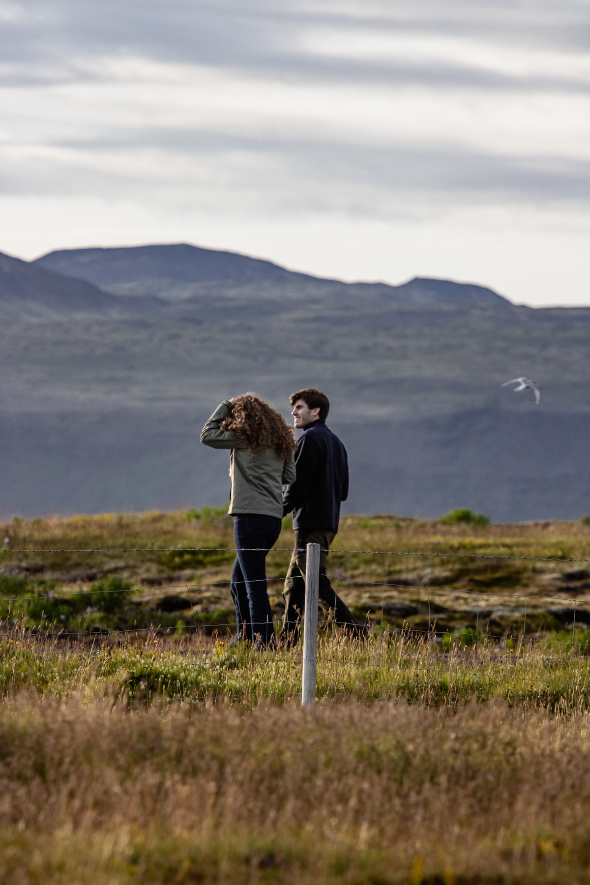
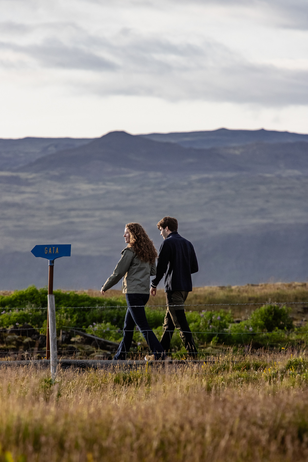
A young couple taking a walk through coastal grassy plains, Southwestern A weathered beach home in Southwestern Suðurland.
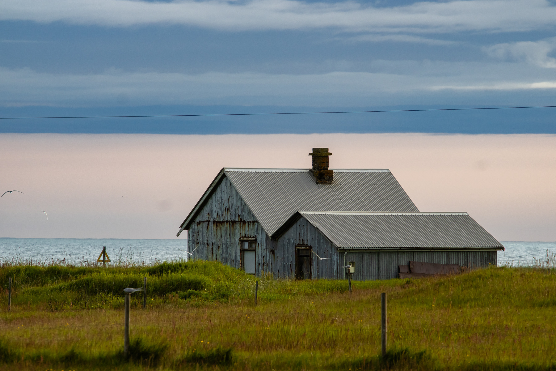
A weathered beach home in Southwestern The rocky coast of Southwestern Suðurland.
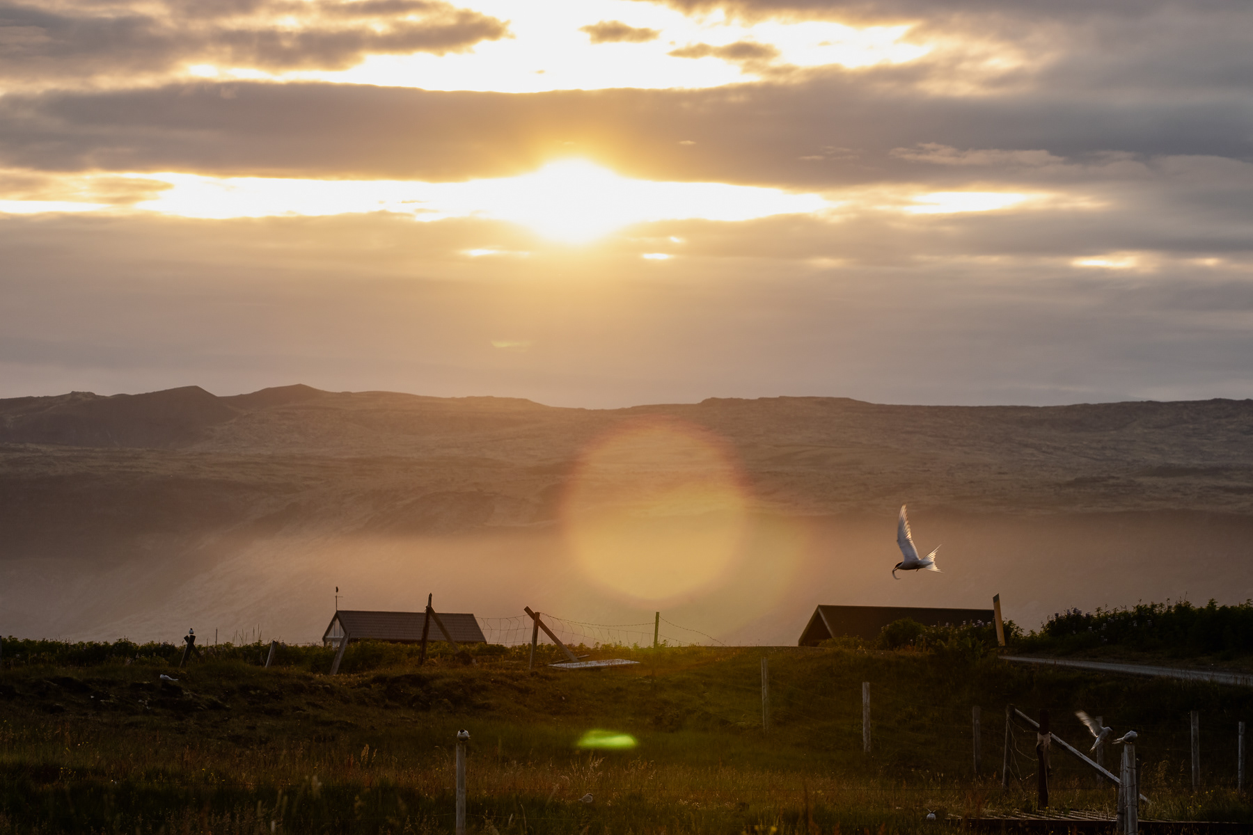
Sunset in Ölfus, Suðurland, Iceland.