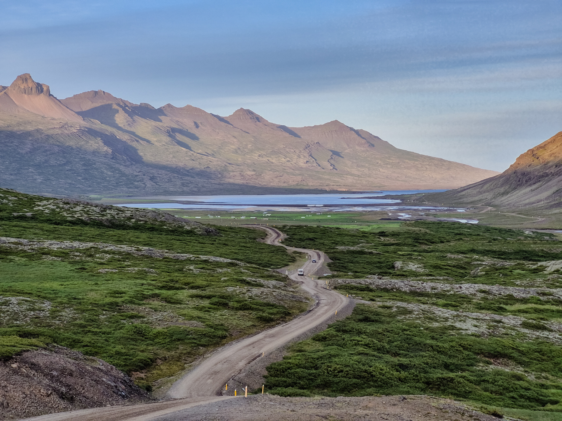
Gravel road with 17% steep roads, up and down, Eastfjords, Iceland, July 2025
If you like the Westfjords of Iceland, then you should certainly make your way to the Eastfjords of the country. The mountains are more pointy, and the roads can be as much as an adventure as in the west. Some routes are only open during summer, and once you are on them, you will quickly figure out why. Steep like 17% in our case, and without a four-wheel drive they can already be "interesting" in the months with great weather.
The Eastfjords of Iceland are officially part of the Austurland region (Easter Region), which has a few other gems to discover apart from the fjords area. During my visit in July 2025, we only "touched" part of the landscape here. We definitely want to come back.
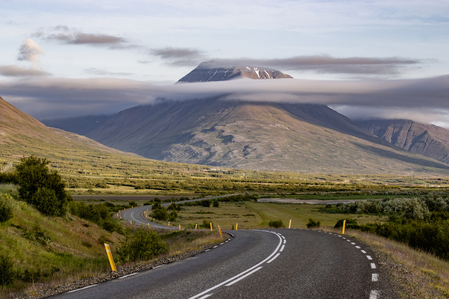
Following a main route at the outskirts of the Eastfjords.
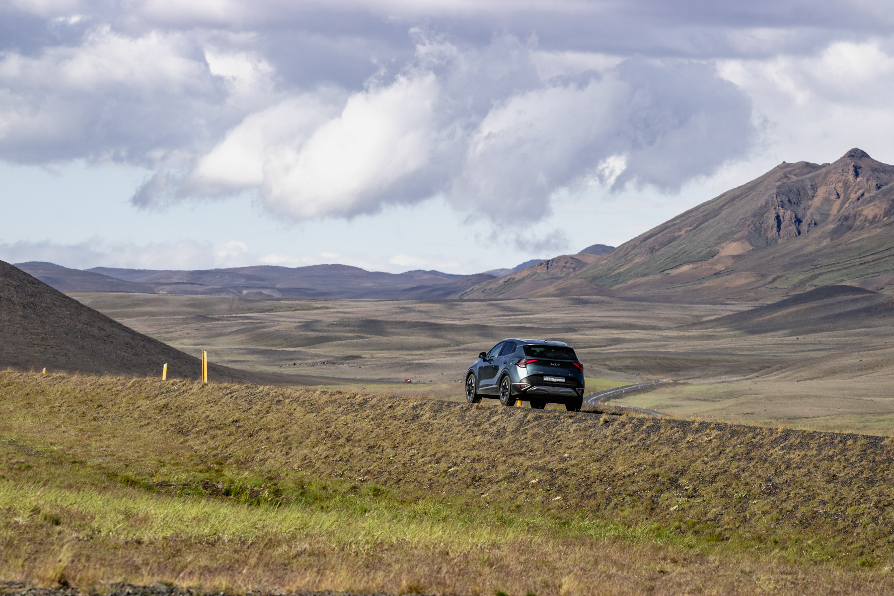
Roadtripping through Austurland and the Eastfjords.

One of the coolest Eastfjords roads of our Iceland adventure.

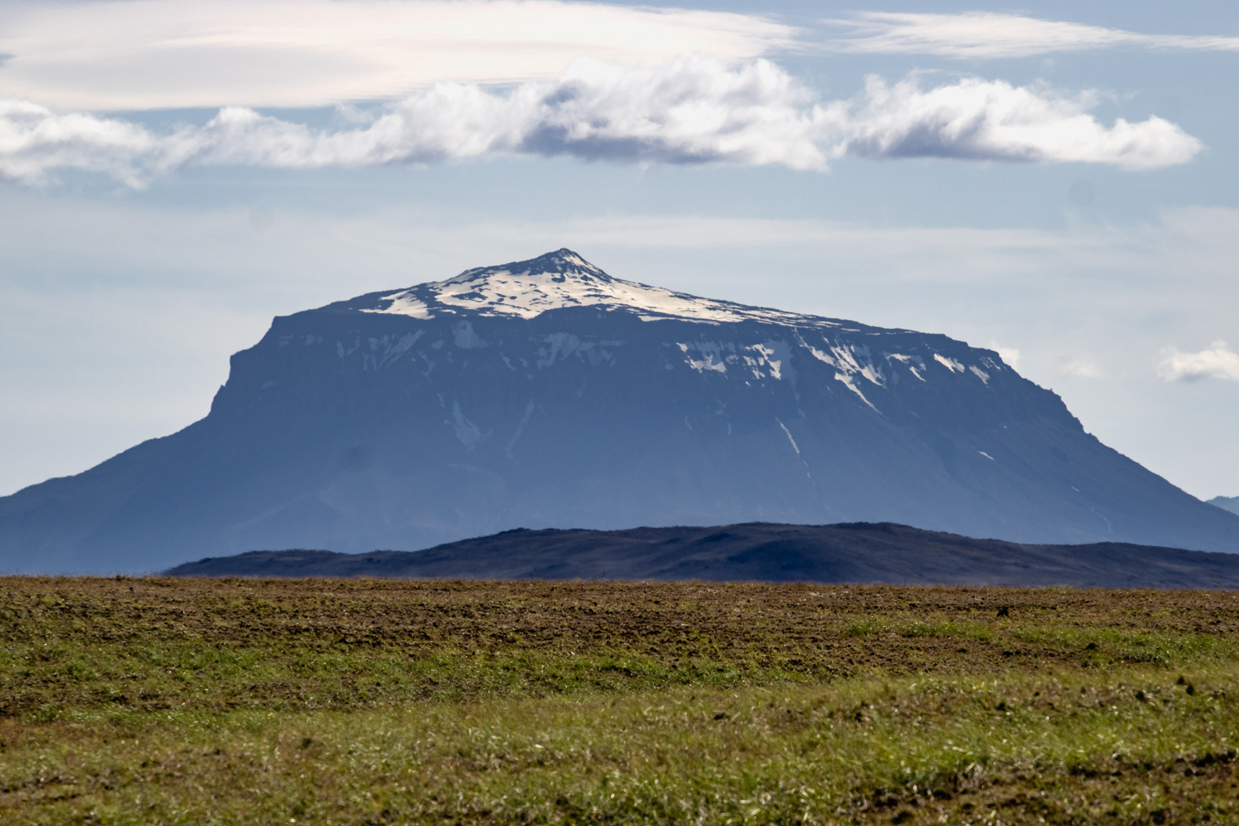
Herðubreið is nicknamed The Queen of the Icelandic Mountains for her majestic shape. Standing 1,682 metres (5,518 ft) tall, she is part of the Iceland Highlands. She is located in the middle of a large lava stone field.
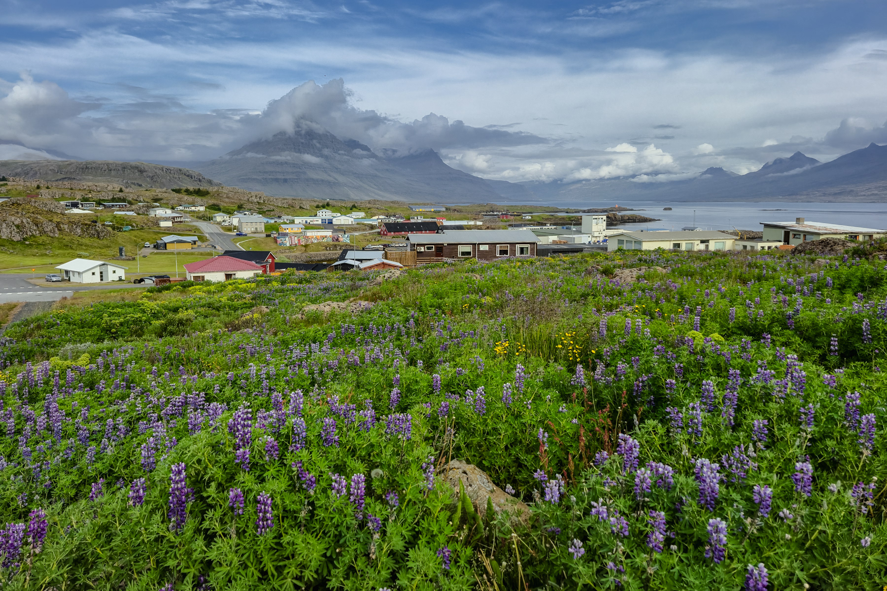
Djúpivogur
With only 500 residents, the village of Djúpivogur is a laid-back stop on your way if you travel to/from the Eastfjords. We entered the town at sunset and left it in the early morning, enough to get a quick taste of the slow pace here.
Djúpivogur in the morning, July 2025
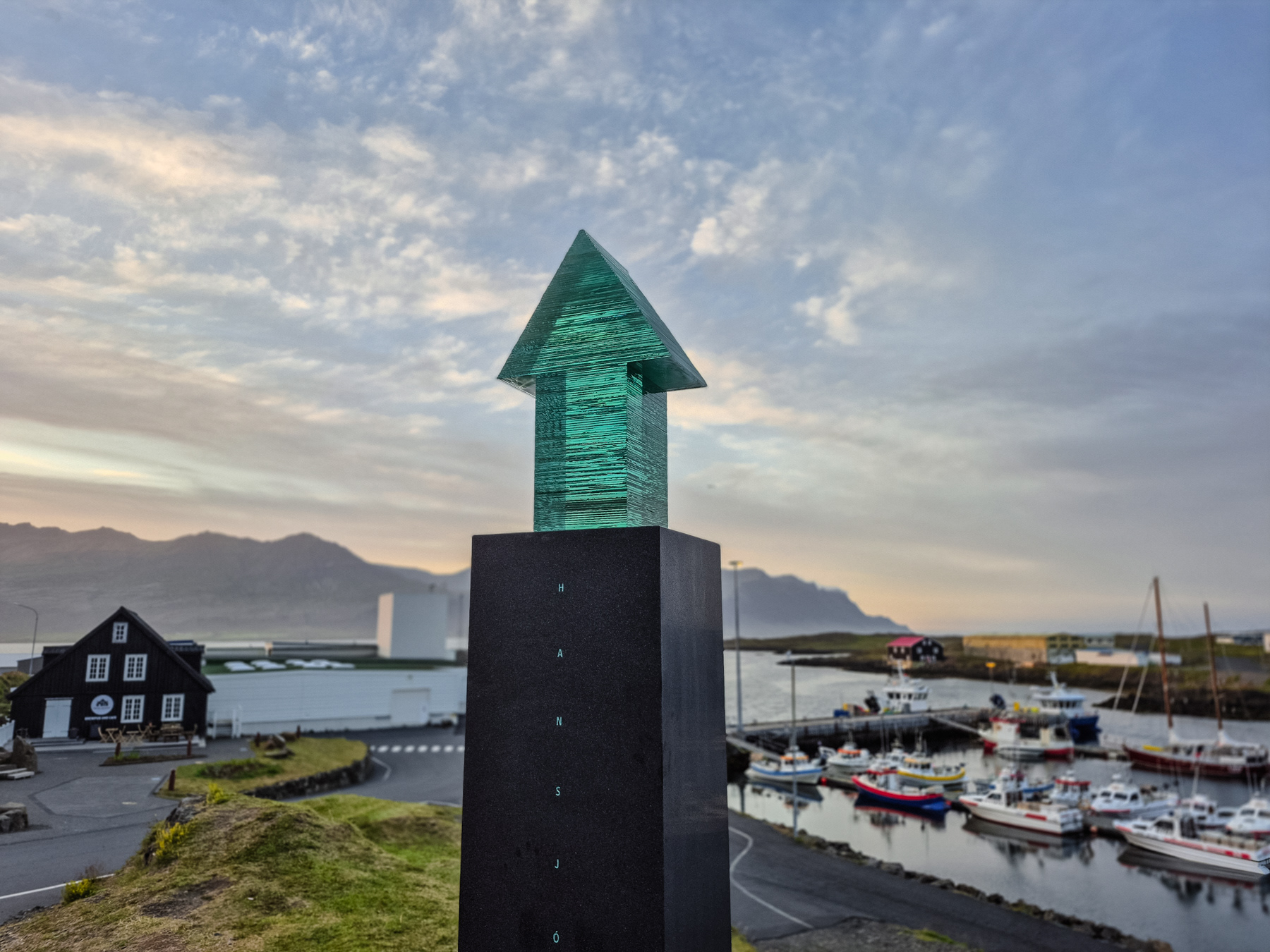
The artwork Liberty.
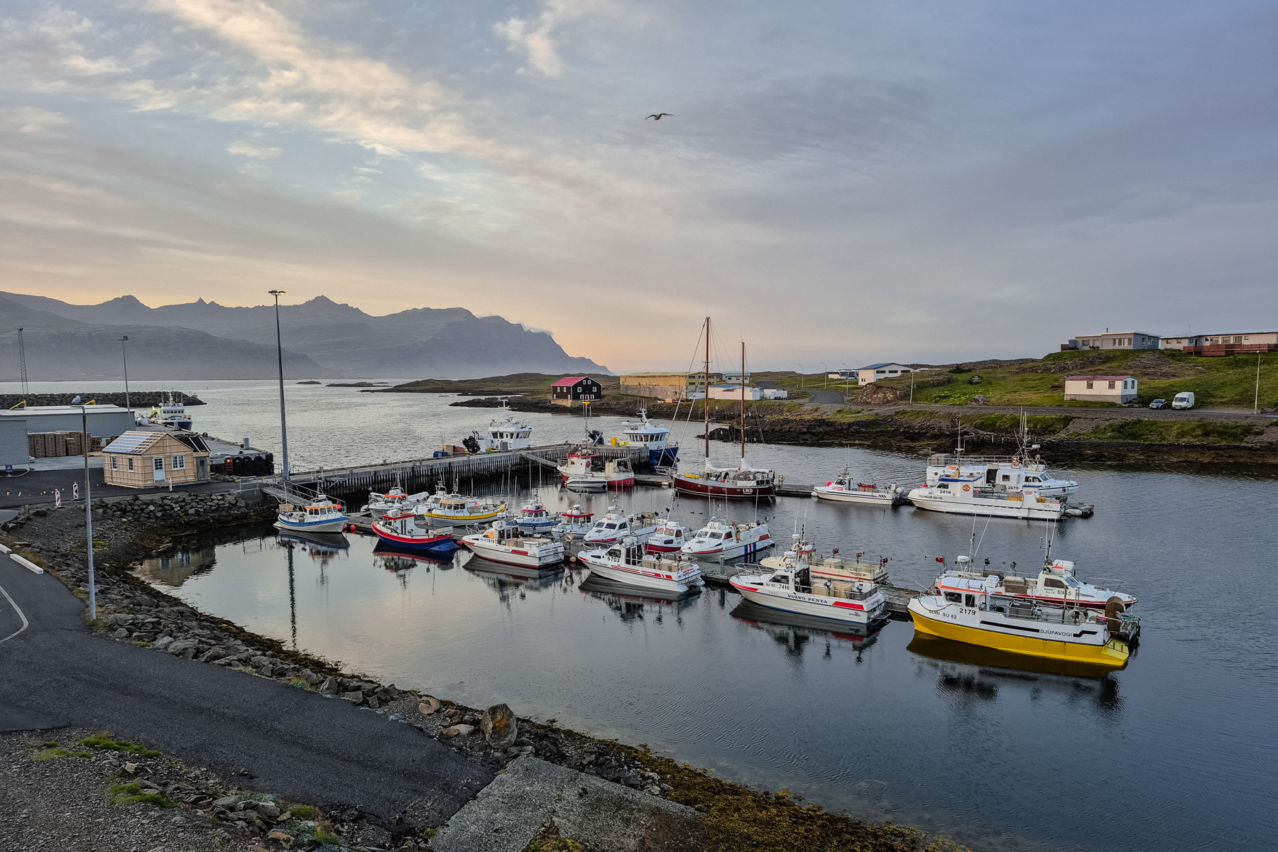
The marine of Djúpivogur.
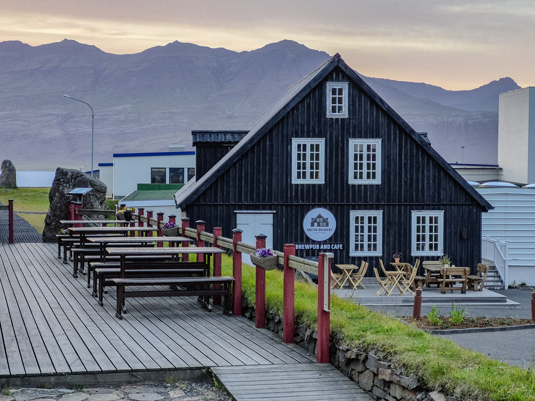
The local pub and restaurant.
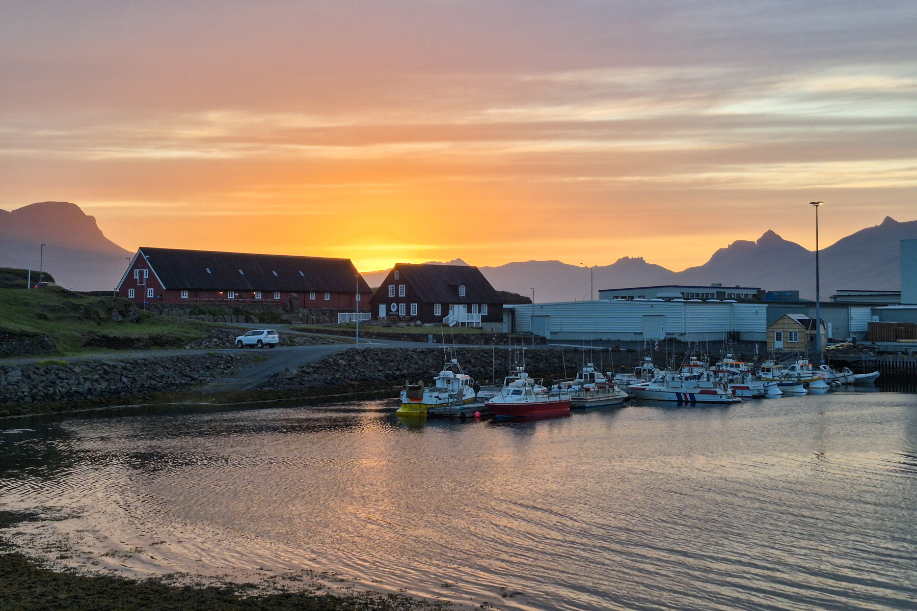


Sunset just outside Djúpivogur, July 2025.
Jökuldal Valley and the Stuðlagil Canyon
The Jökuldal is the valley of the river with three different names. You can call it Jökulsá á Dal, Jökulsá á Brú or simply Jökla. It means "glacial river in the valley". With originally about 150 kilometres (93 miles), it is Iceland's longest river, although 25 kilometres (15.5 miles) is now part of the lake Hálslón created by engineers to give the Kárahnjúkar Hydropower Plant the pressure it needs.
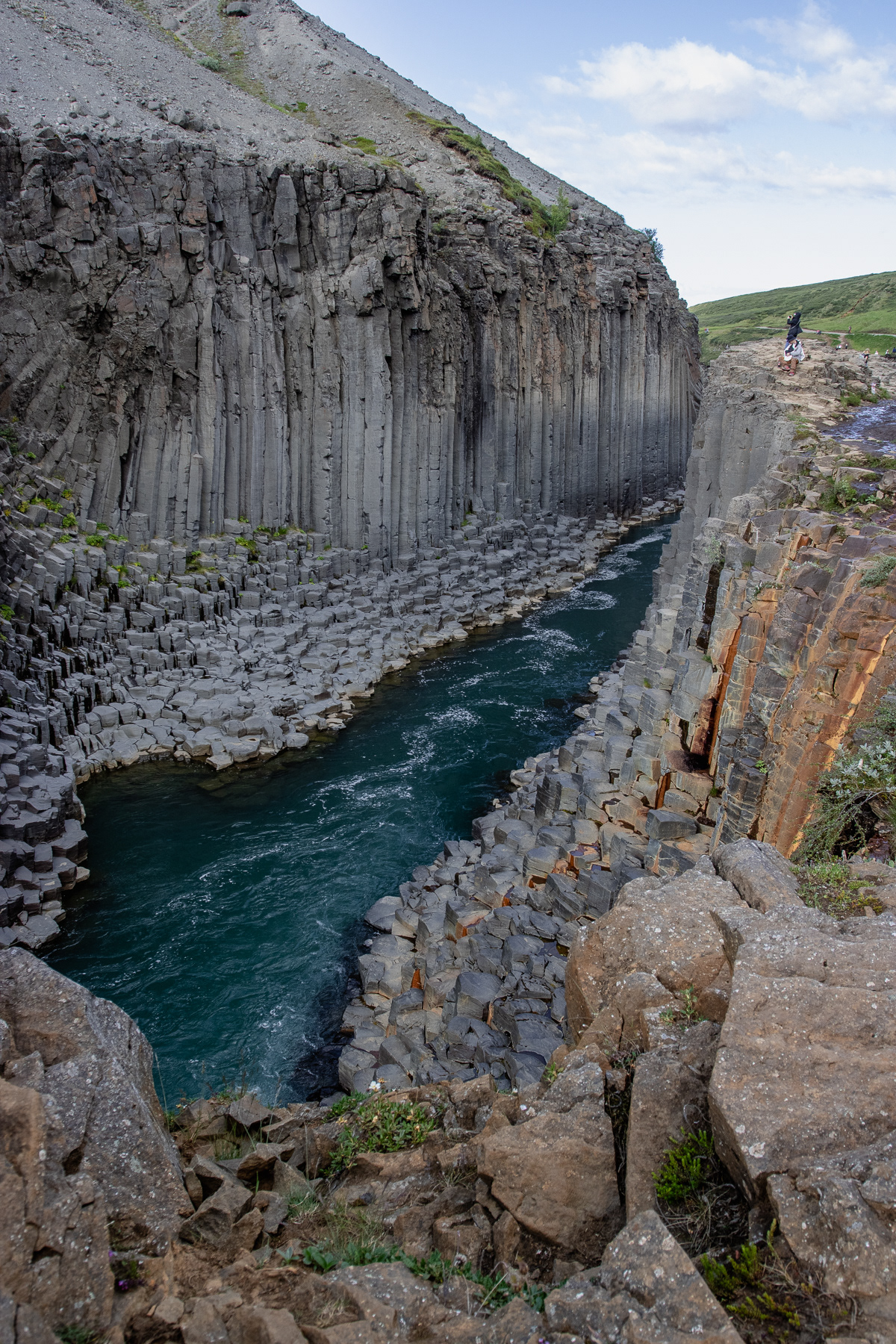
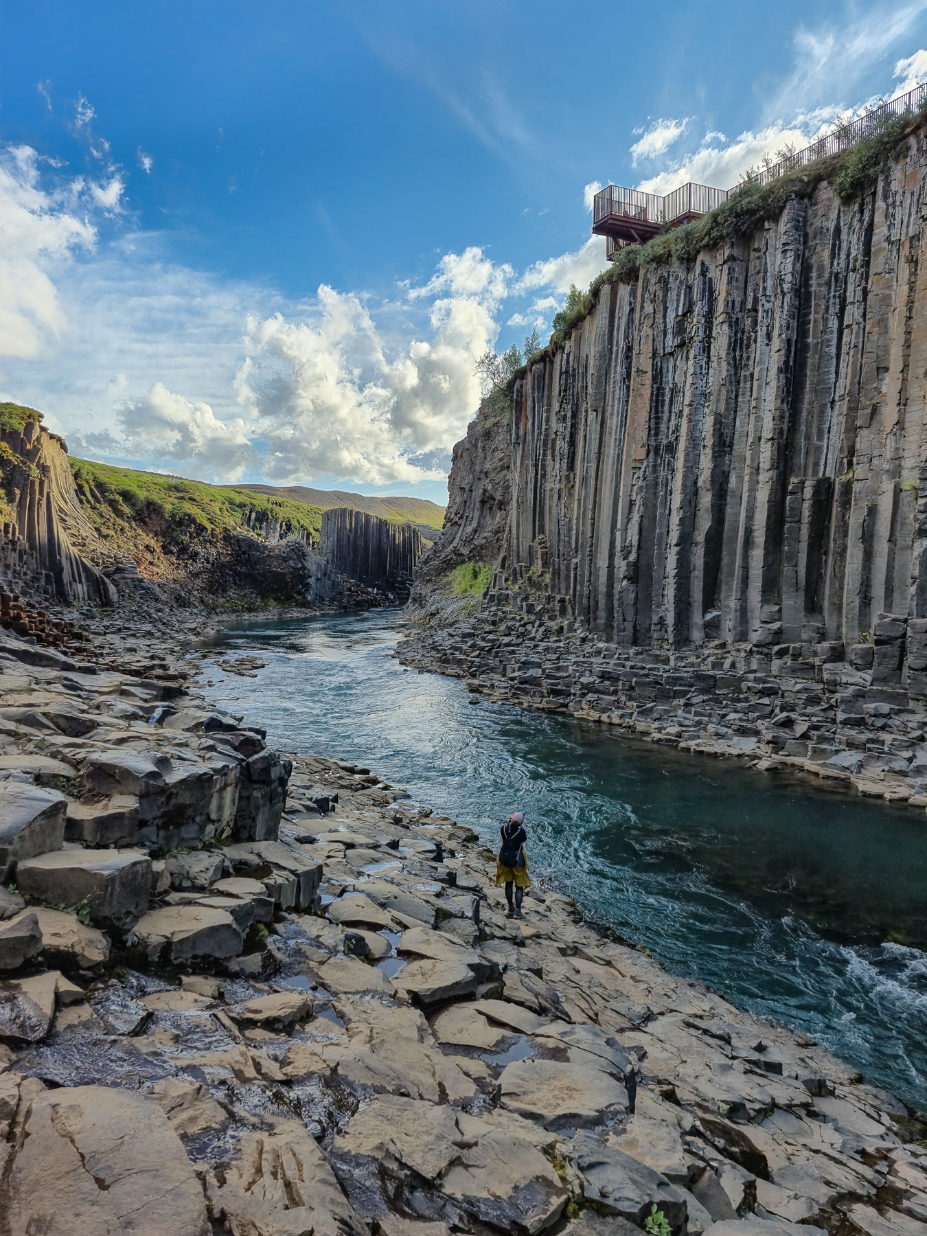
Because of the dam, the river is now tamed and transports less sediment - giving it a blueish or even turquoises colour, instead of brownish flow. With the water levels lower and the colour clearer, Stuðlagil Canyon has become an attraction ever since airlines put it into their in-flight magazine a few years ago. One can see why. The grey hexagonal basalt columns which were formed by the slow-cooling lava in the past are standing like a fortress over the stream - up to about 30 metres (98 feet) tall.
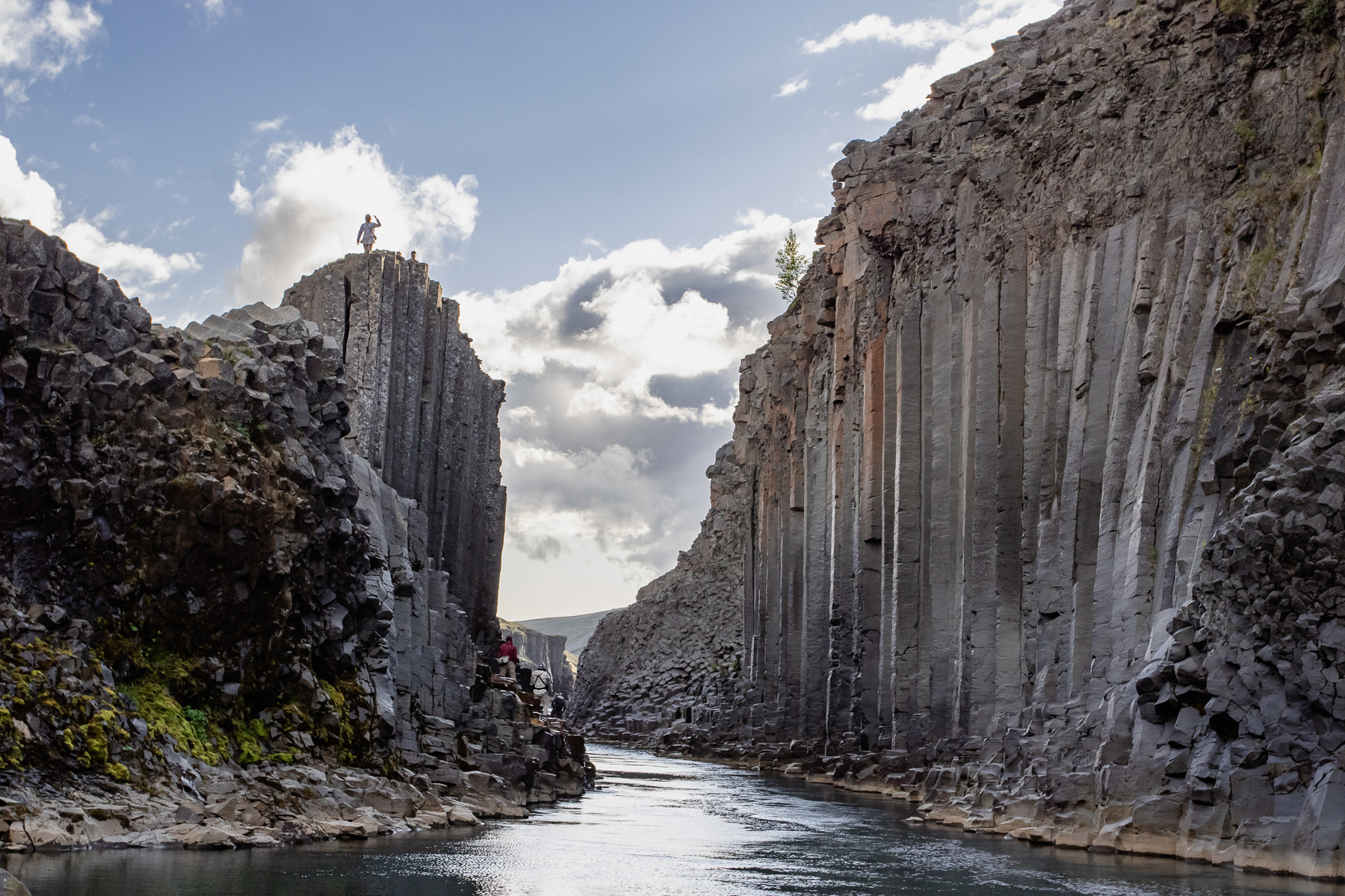
Stuðlagil Canyon, July 2025


Farmland in the Jökuldal Valley.
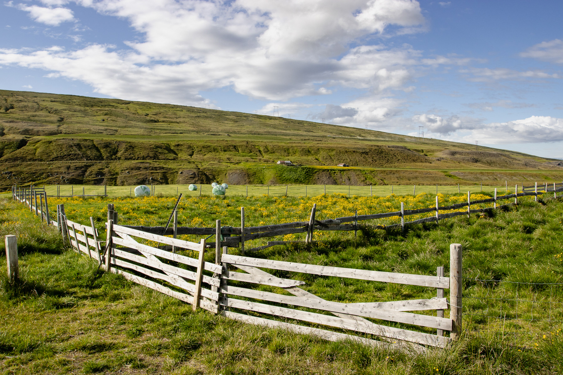
Farmland in the Jökuldal Valley.
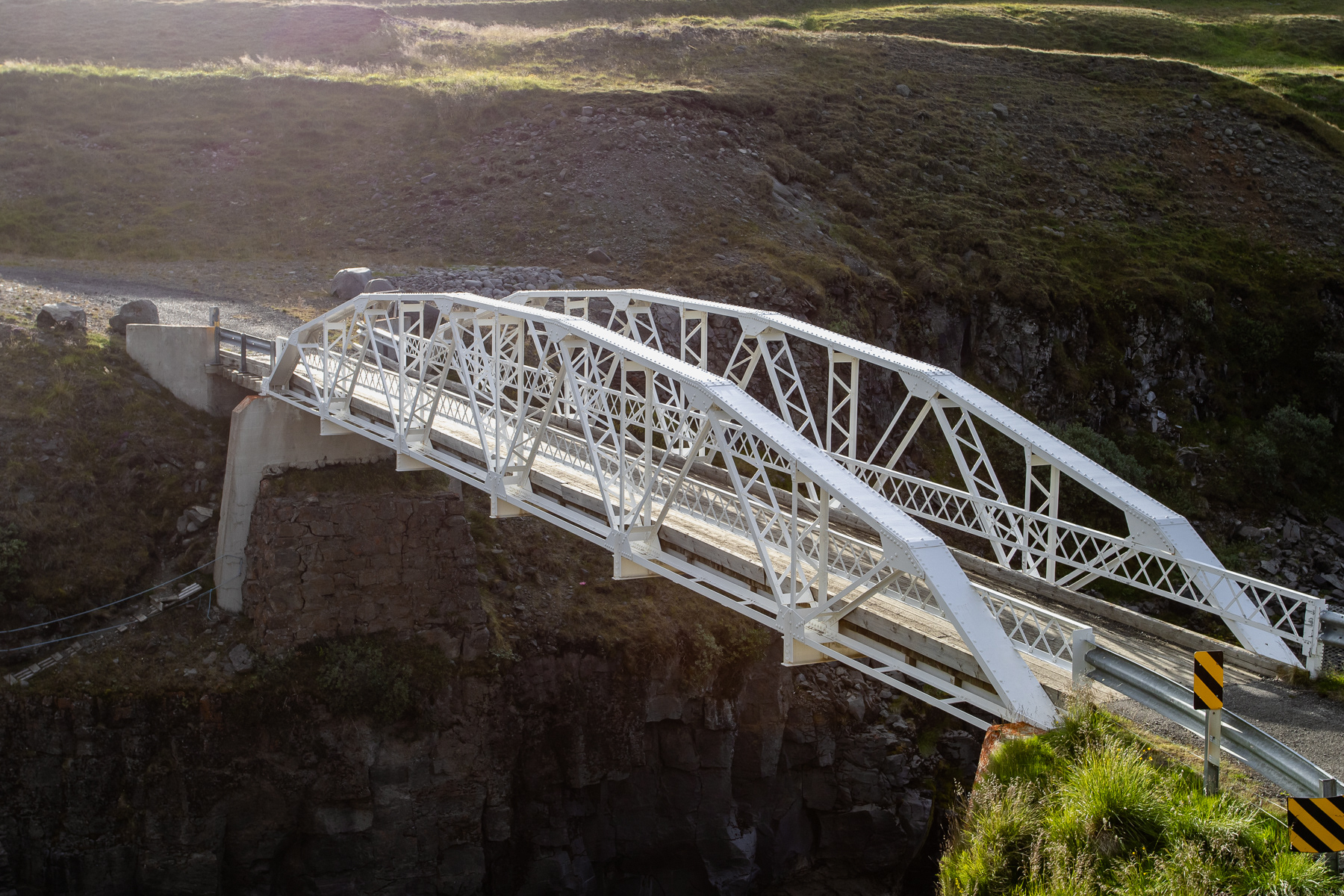
The white iron bridge - made in the USA - from 1908 spanning the Jökla river.