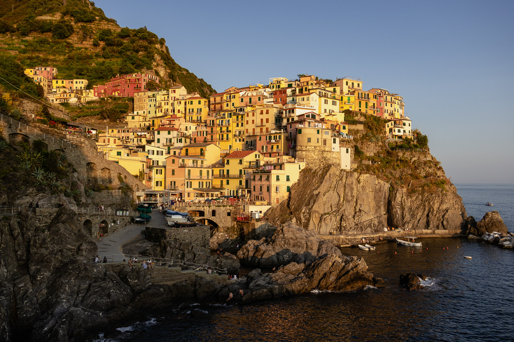
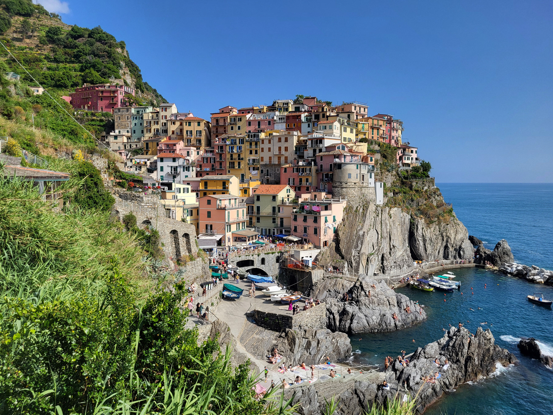
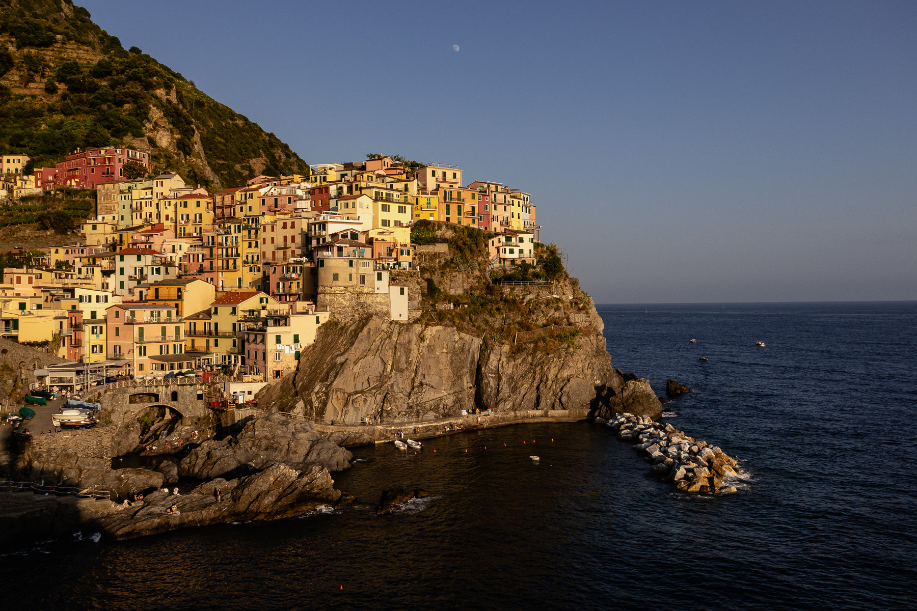
Manarola, Cinque Terre, June 2025
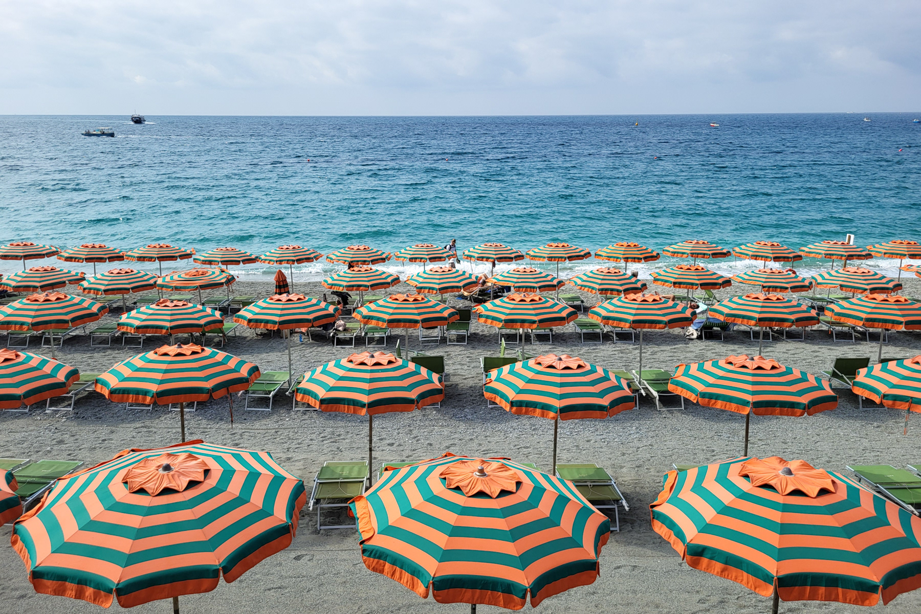
Parasols are ready for the beach guest at this early morning in Monterosso al Mare
Breakfast with a view in Monterosso al Mare
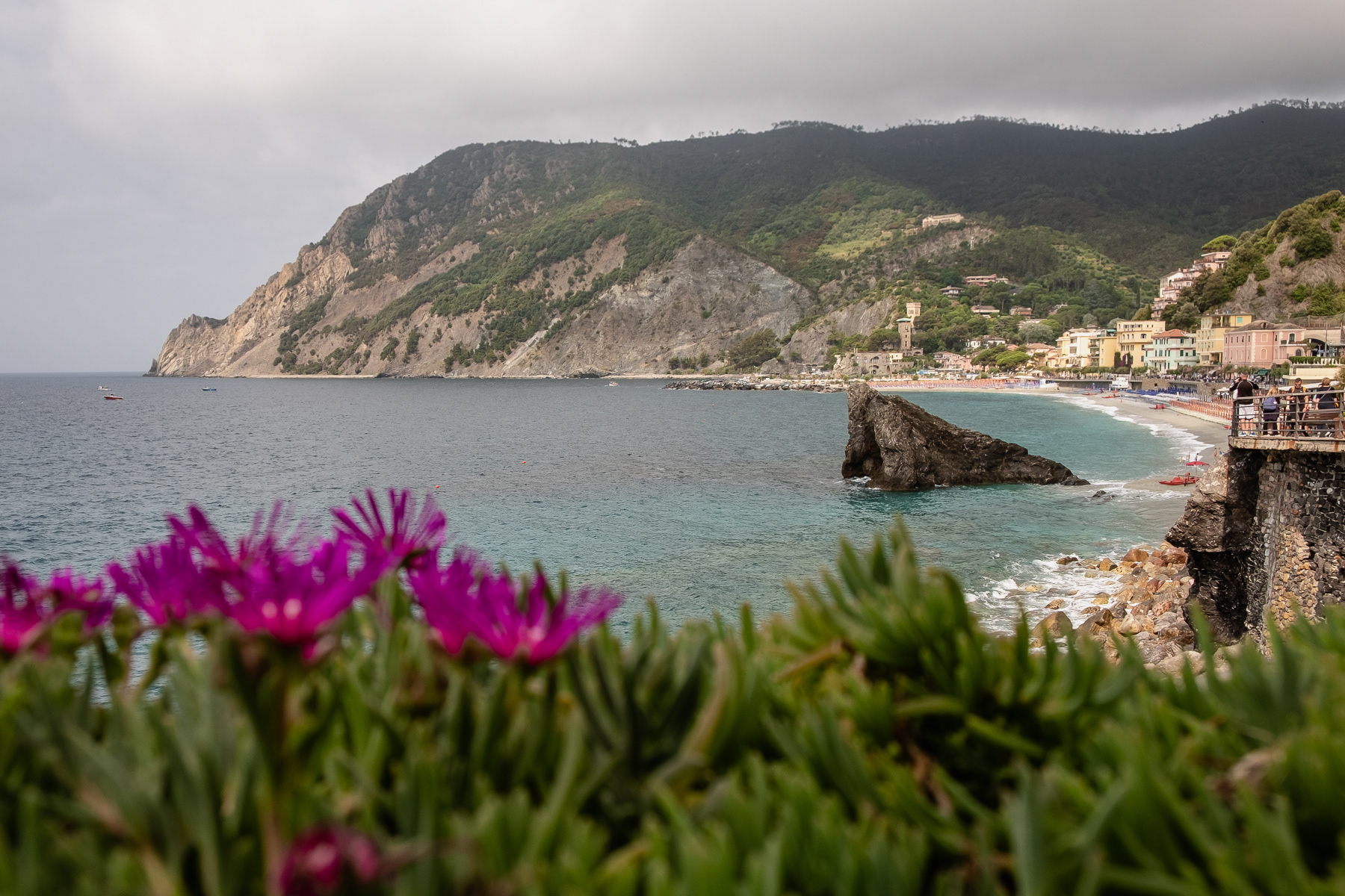
View at the centre of Monterosso al Mare from the hiking trail.
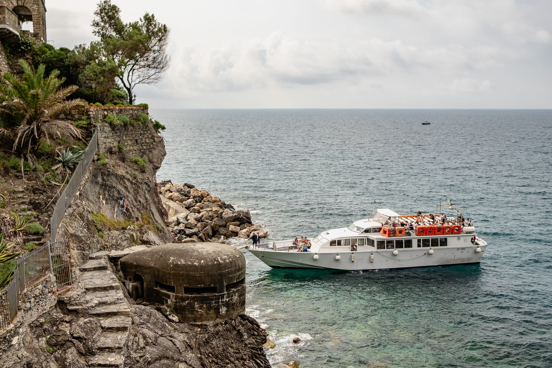
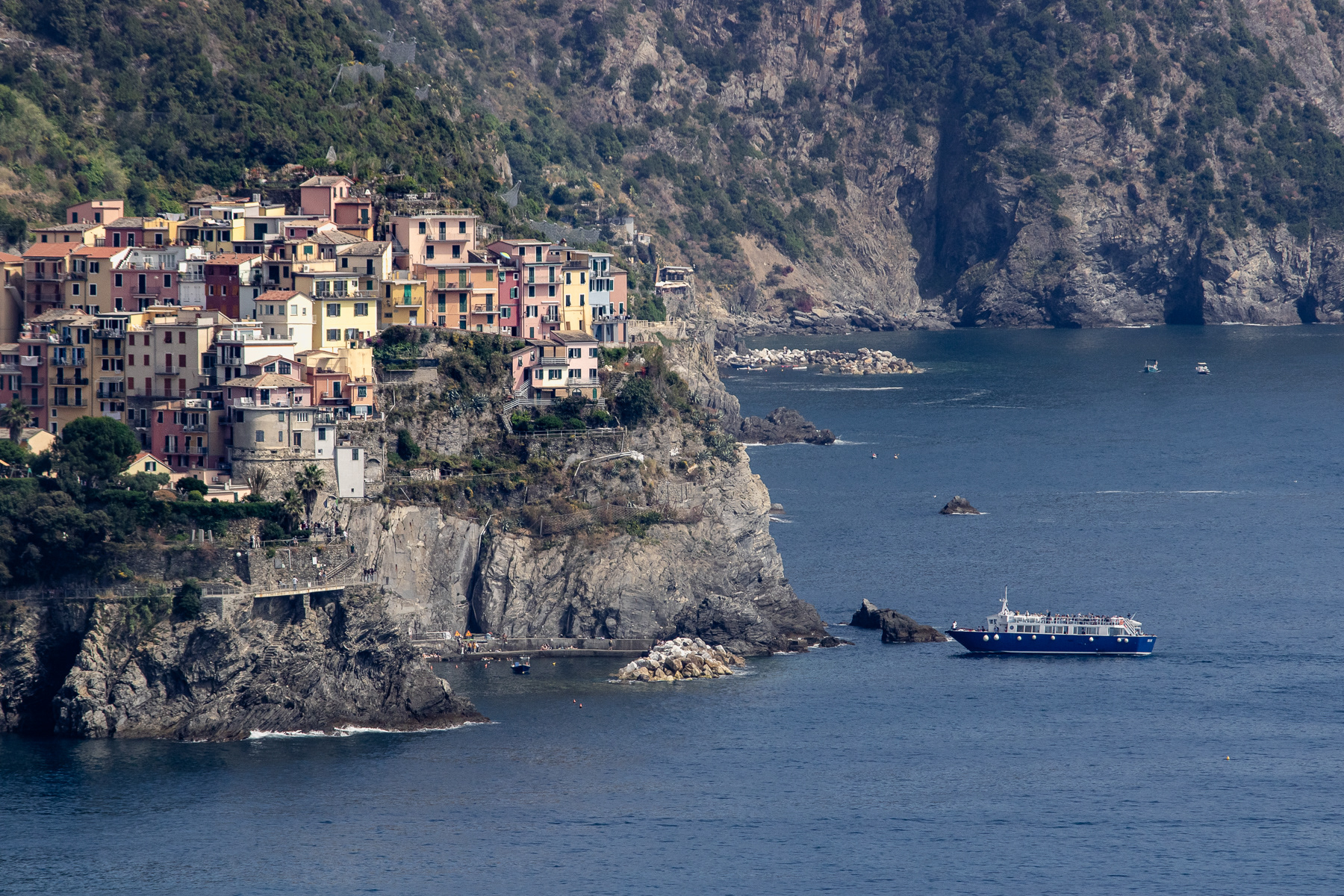
A tour boat moars near an old military fortification.
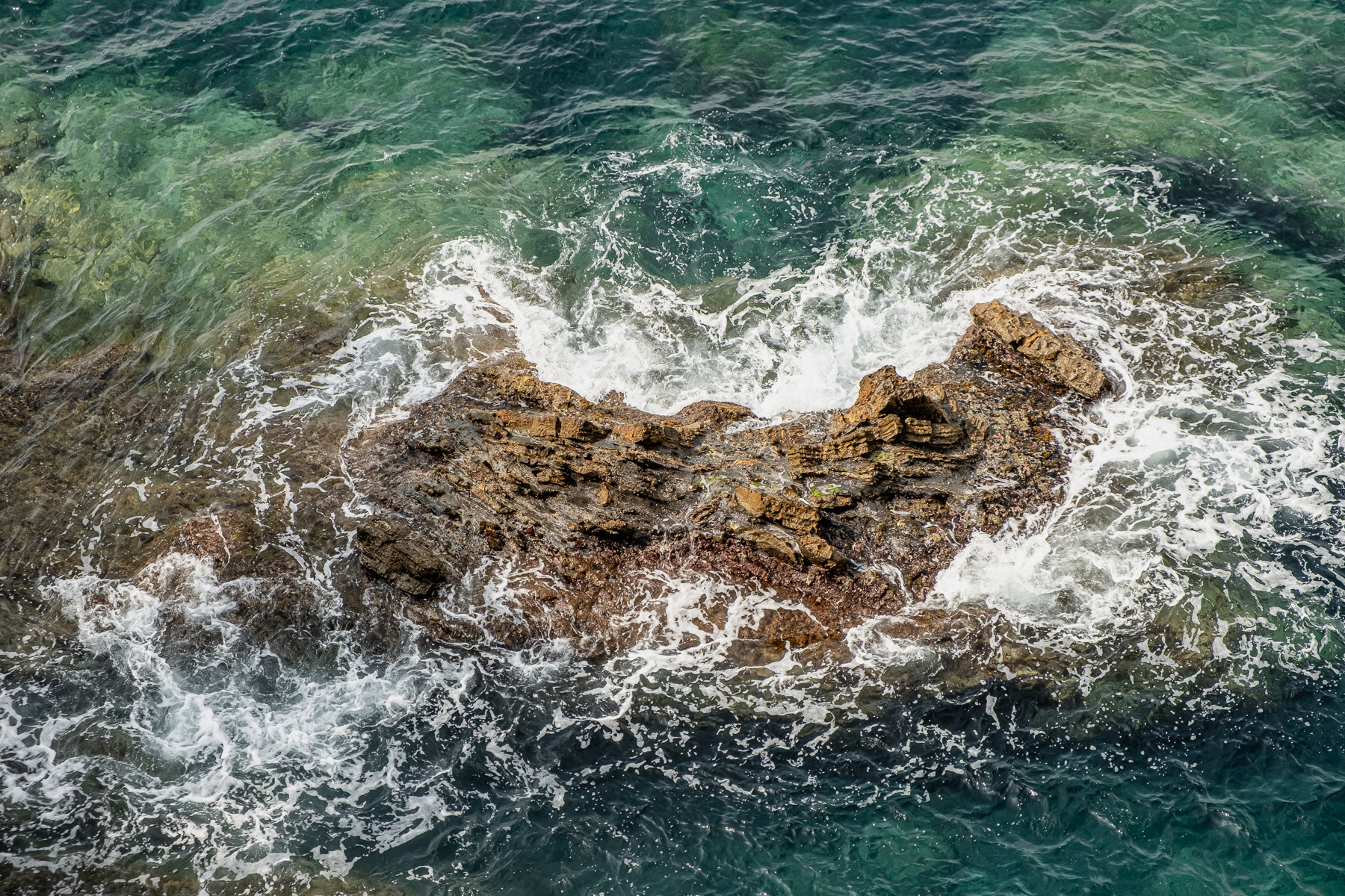
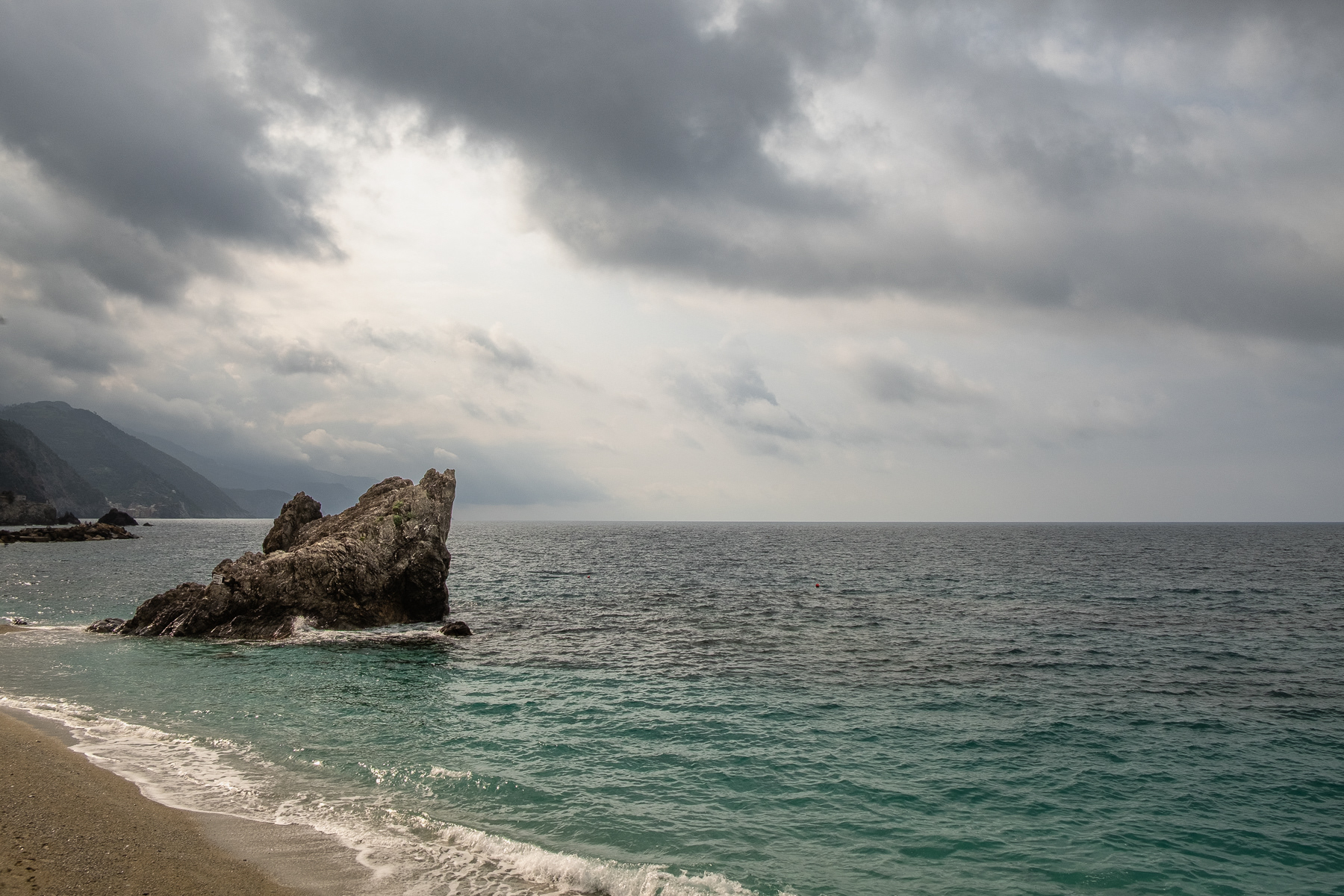
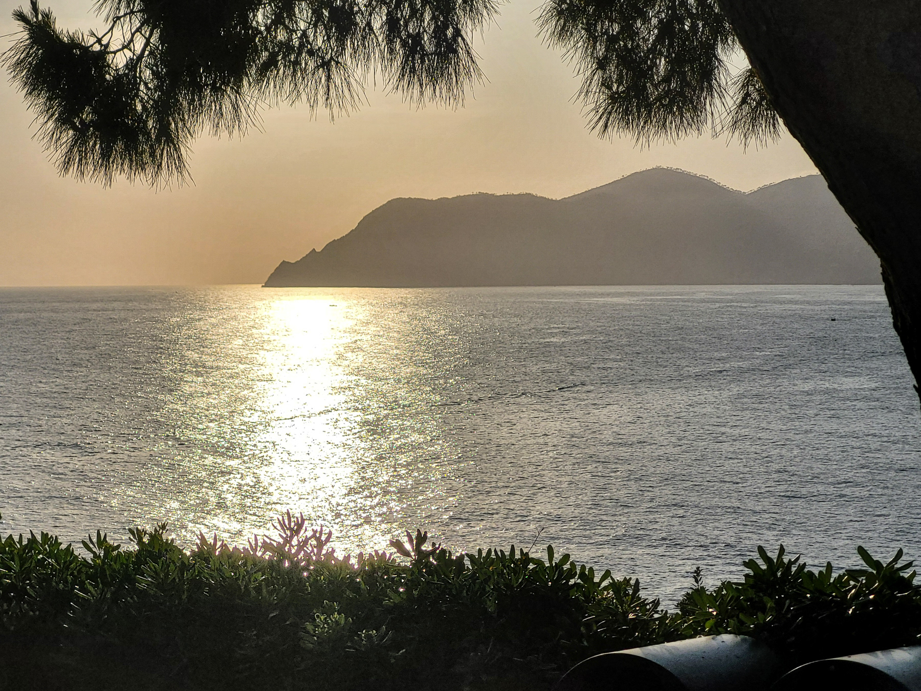
A rock in the ocean.
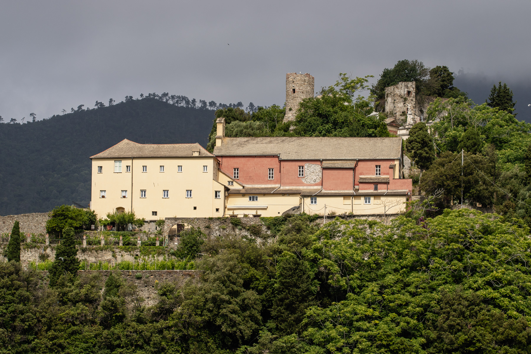
The Convent of the Capuchin Friars in Monterosso al Mare (Convento dei Frati Cappuccini)
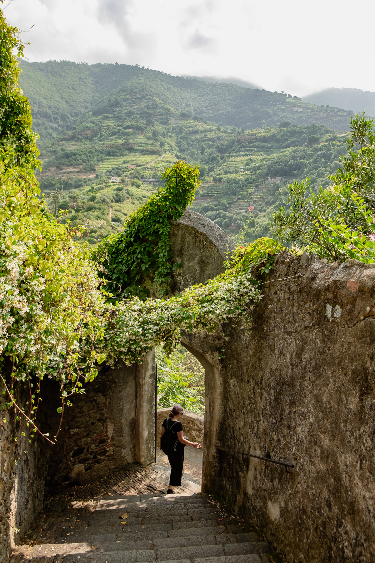
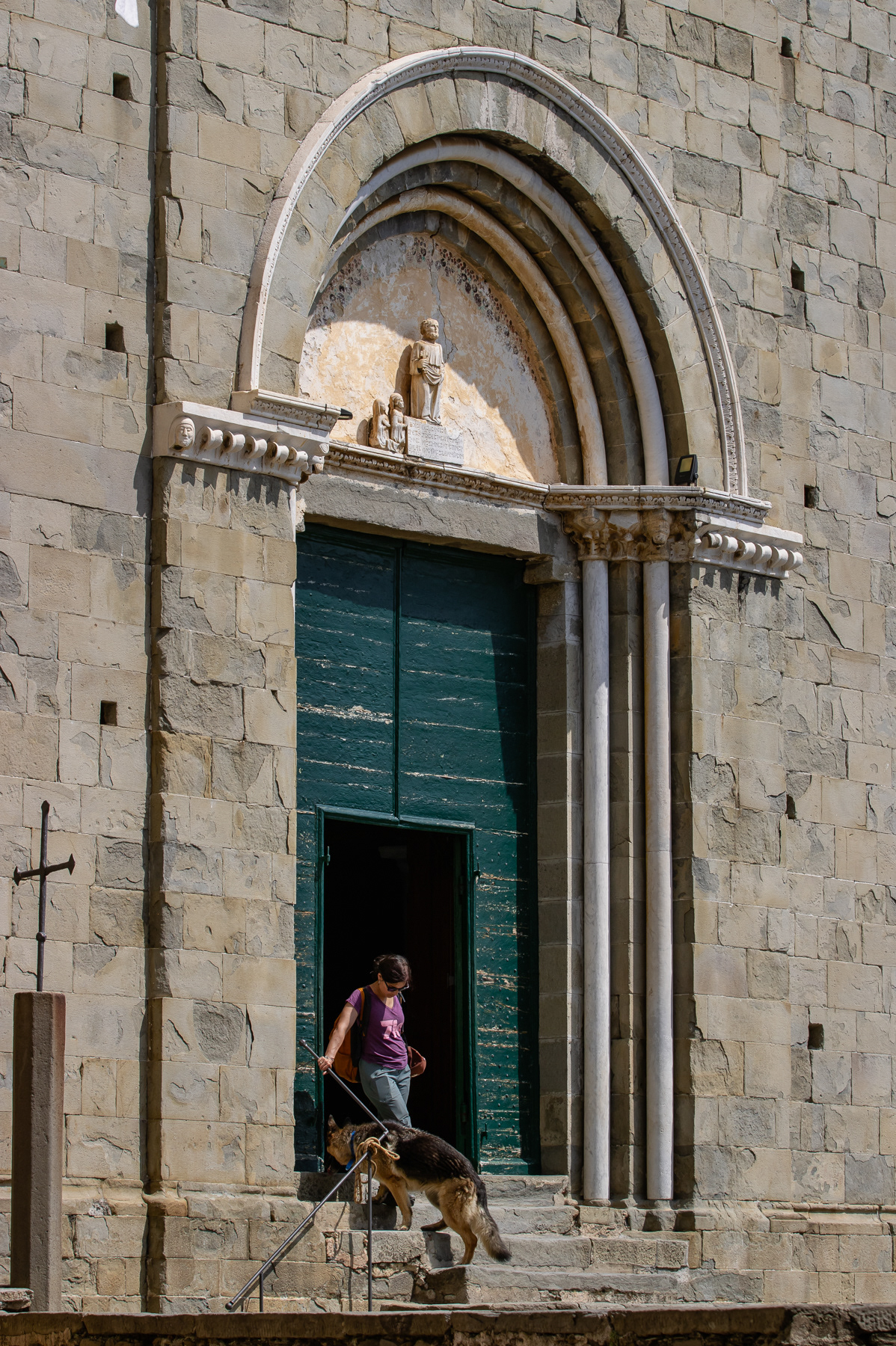
Entrace gate to the convent
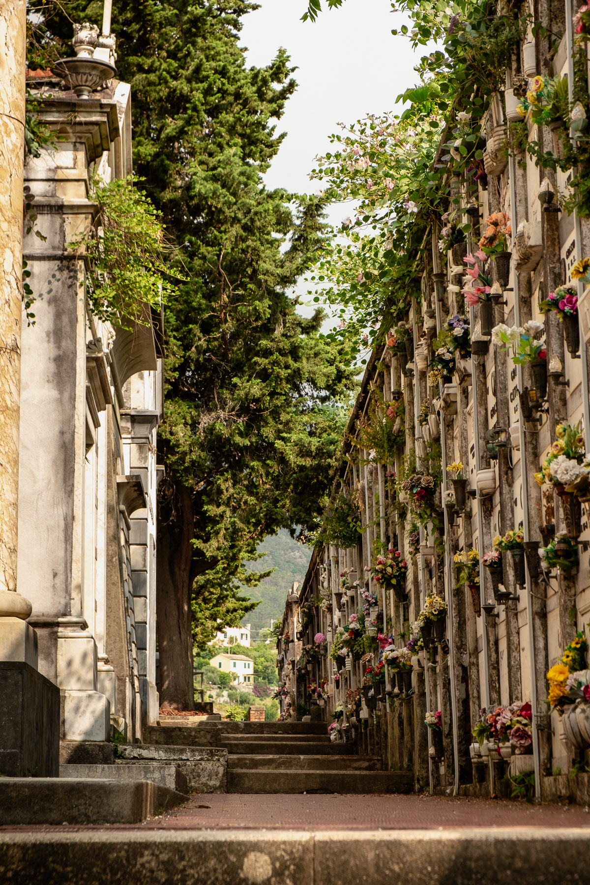
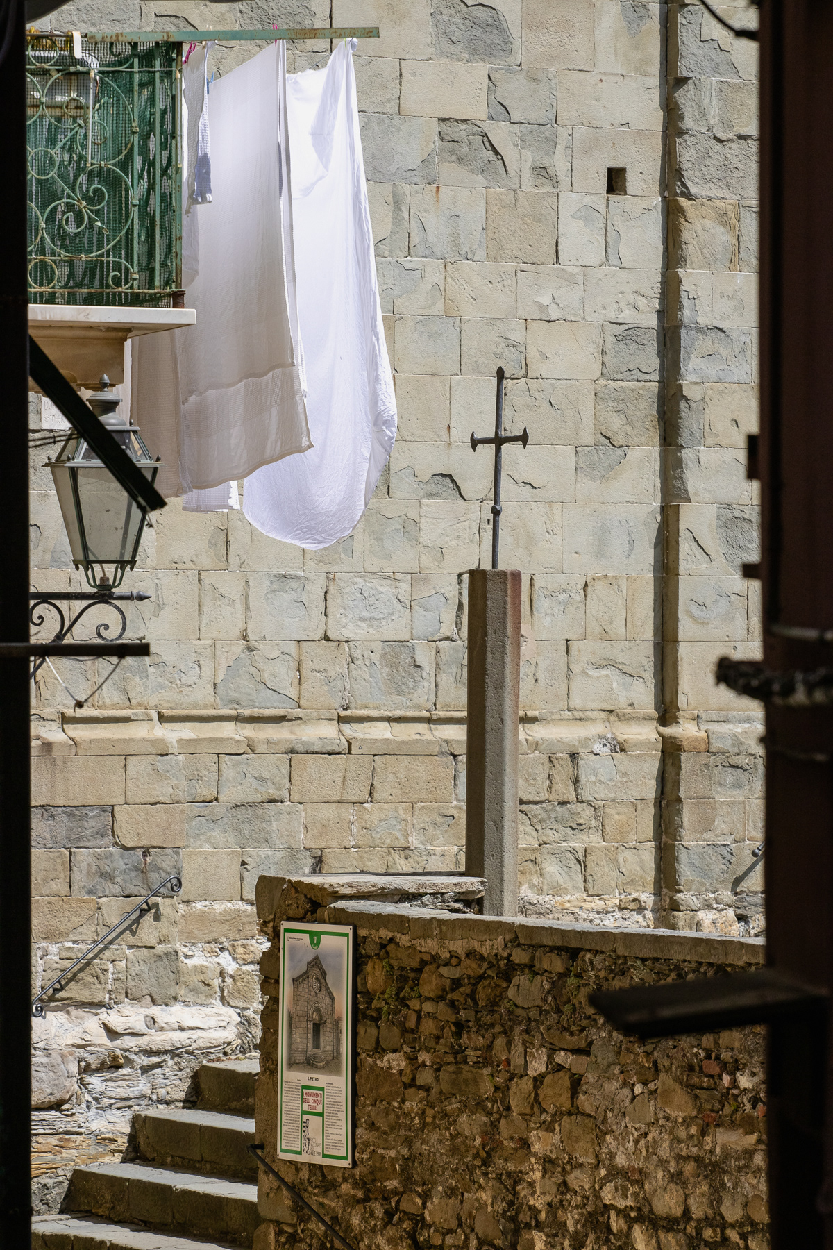
The cemetary adjacent to the convent.
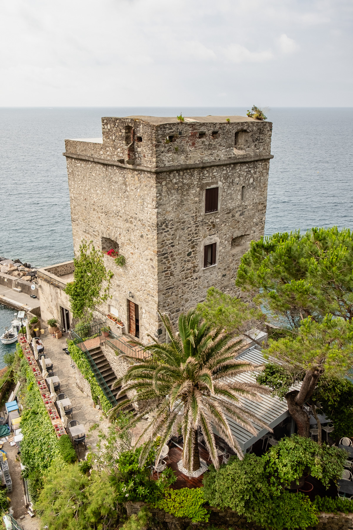
Torre Aurora.
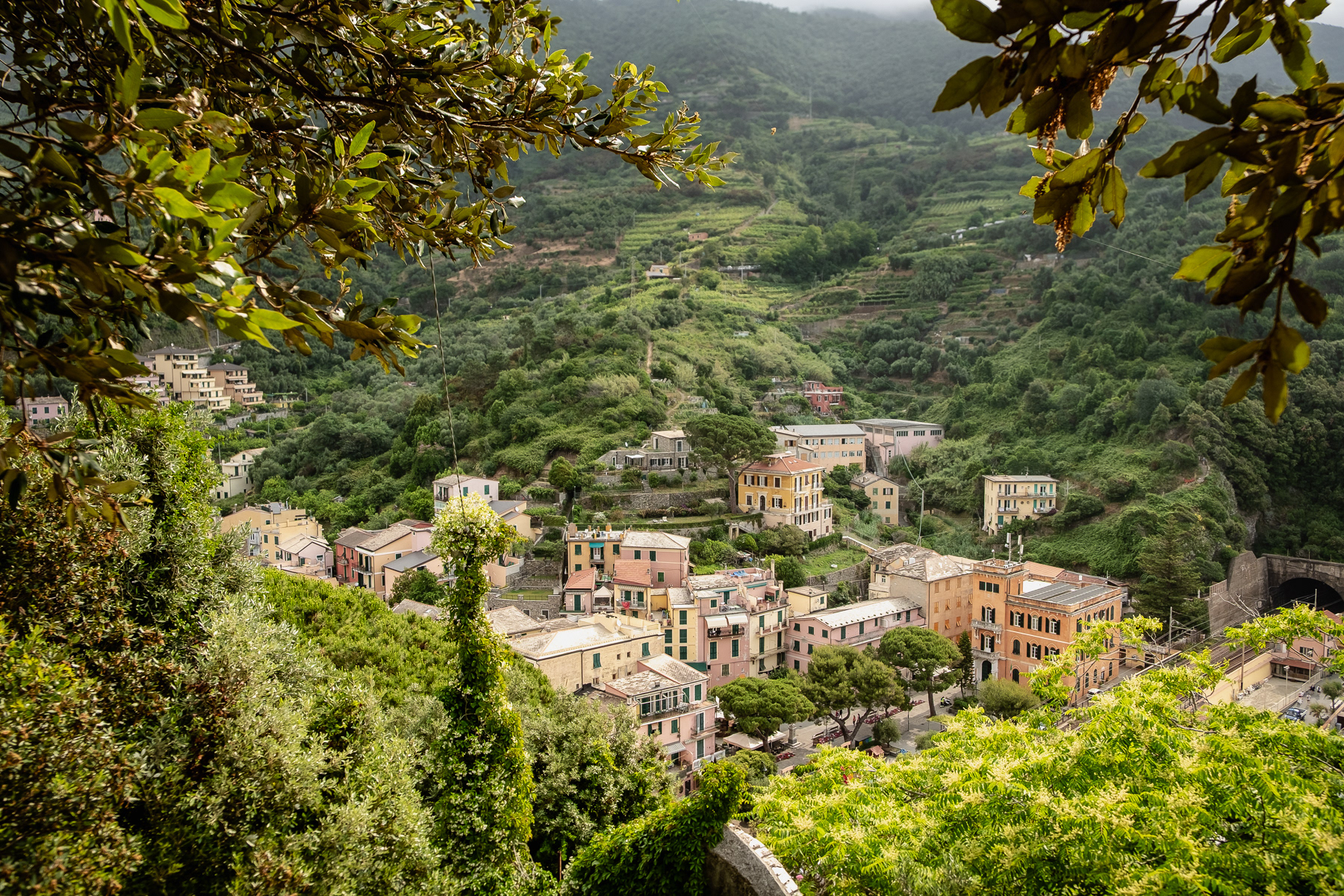
The eastern part of Monterosso al Mare
At the convent.
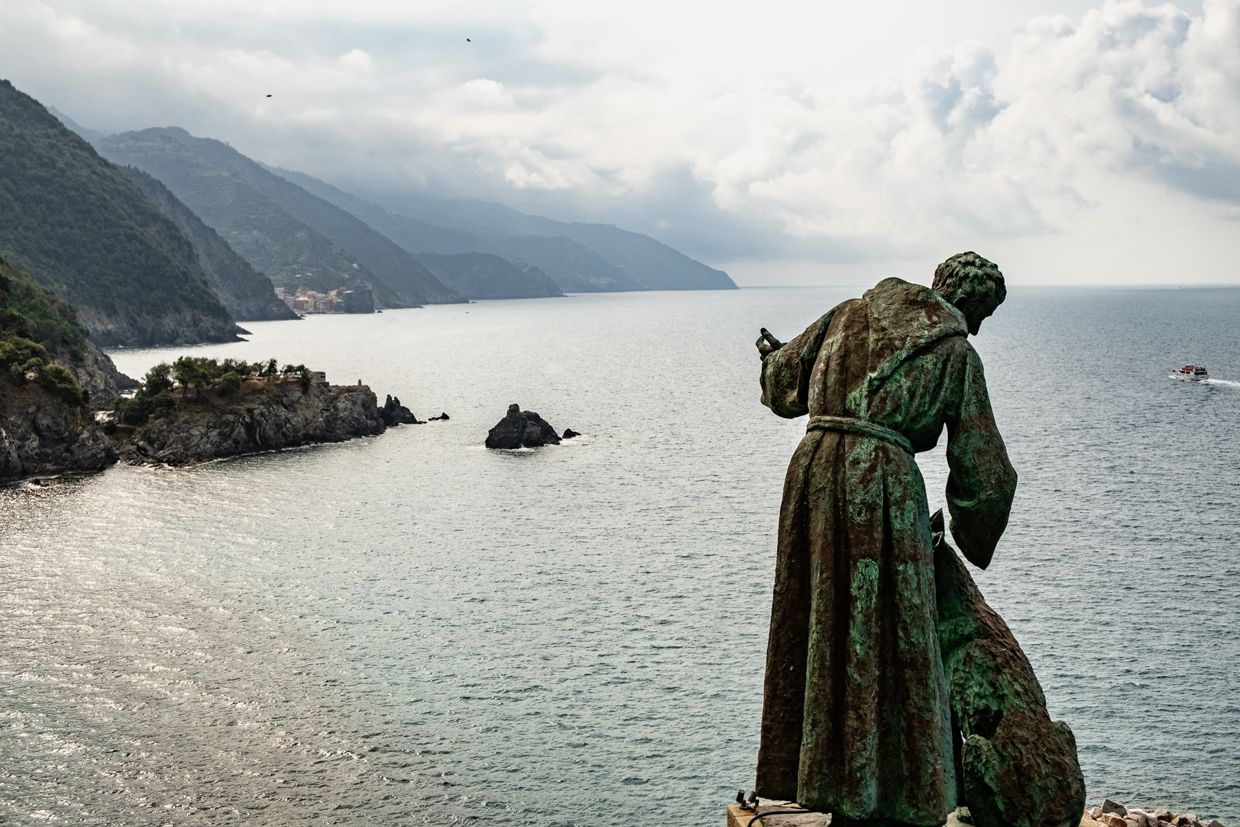
Statue of San Francesco d'Assisi, and dog, looking out over the Ligurian coastline.
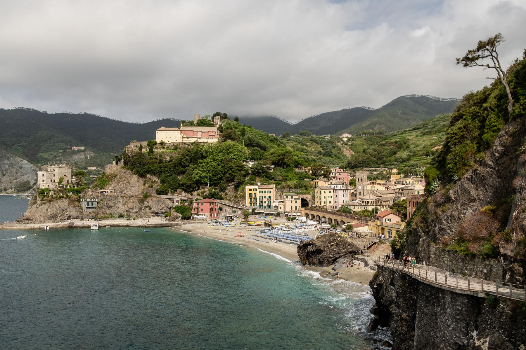
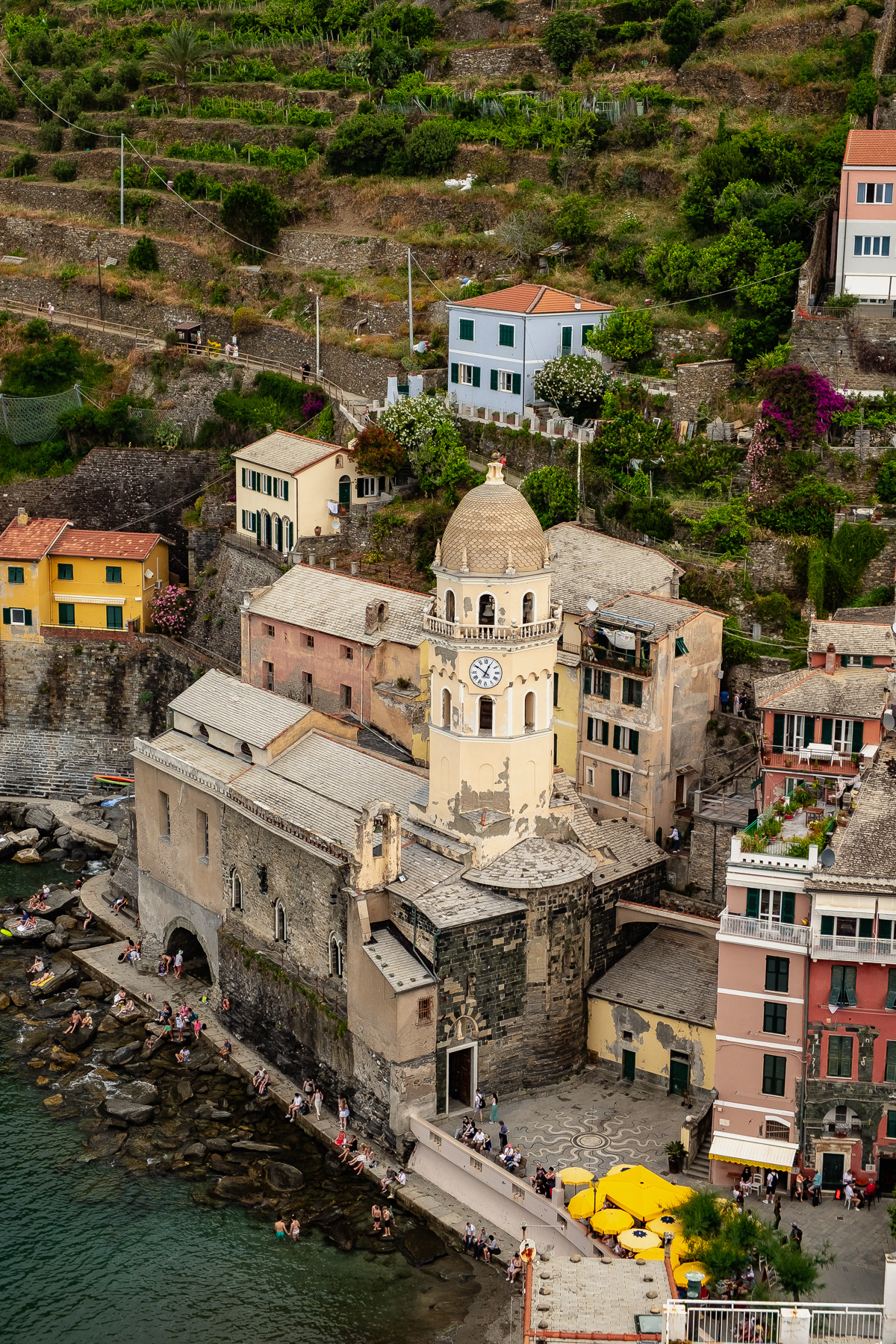
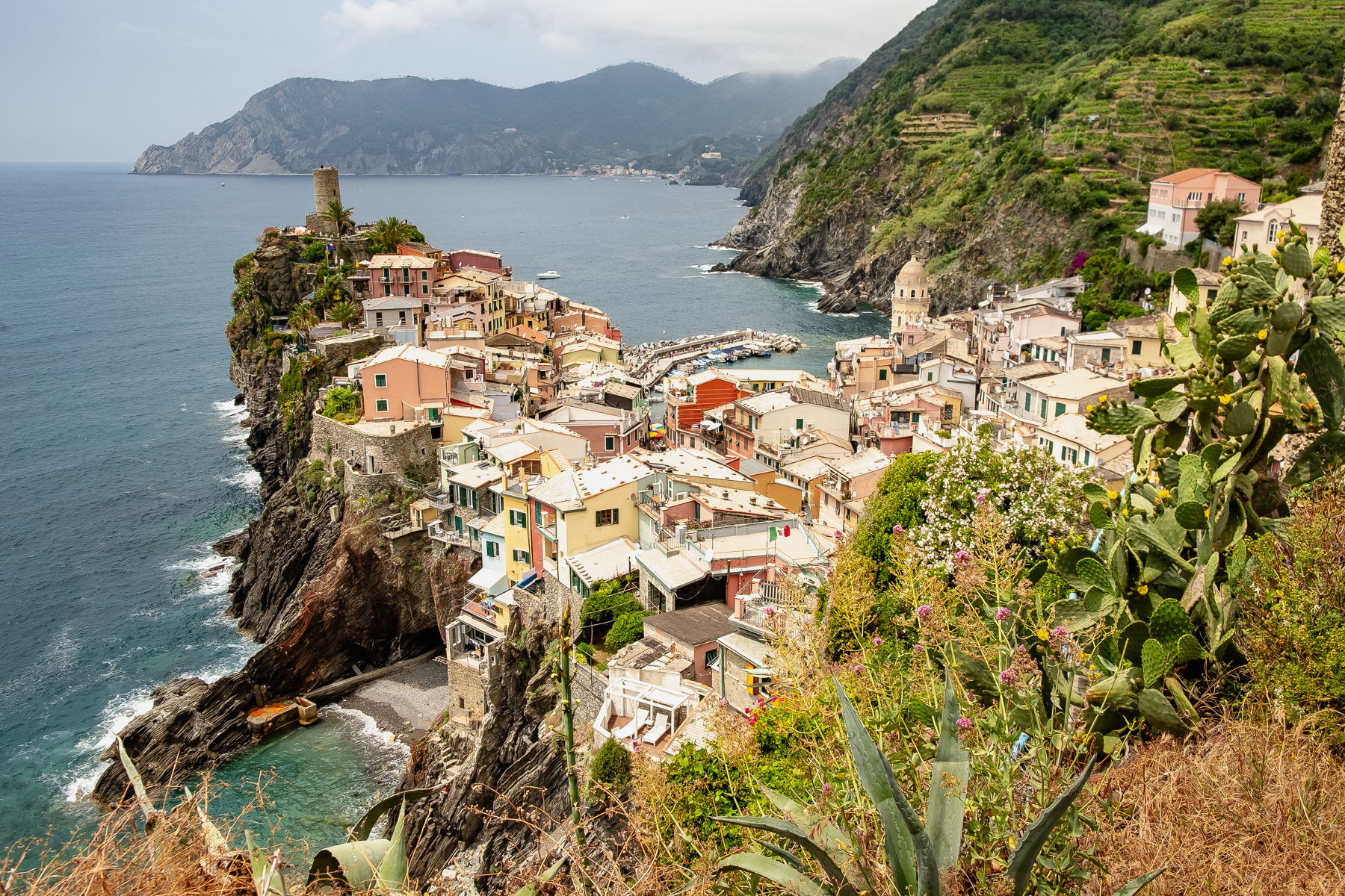
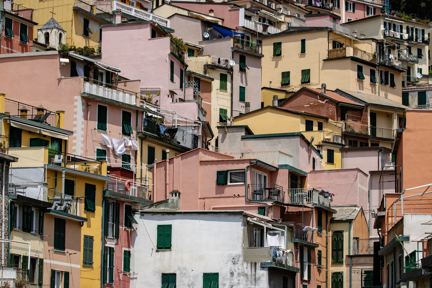
Monterosso al Mare with the convent dominating over the town middle hill.
Hiking trail to Vernazza..
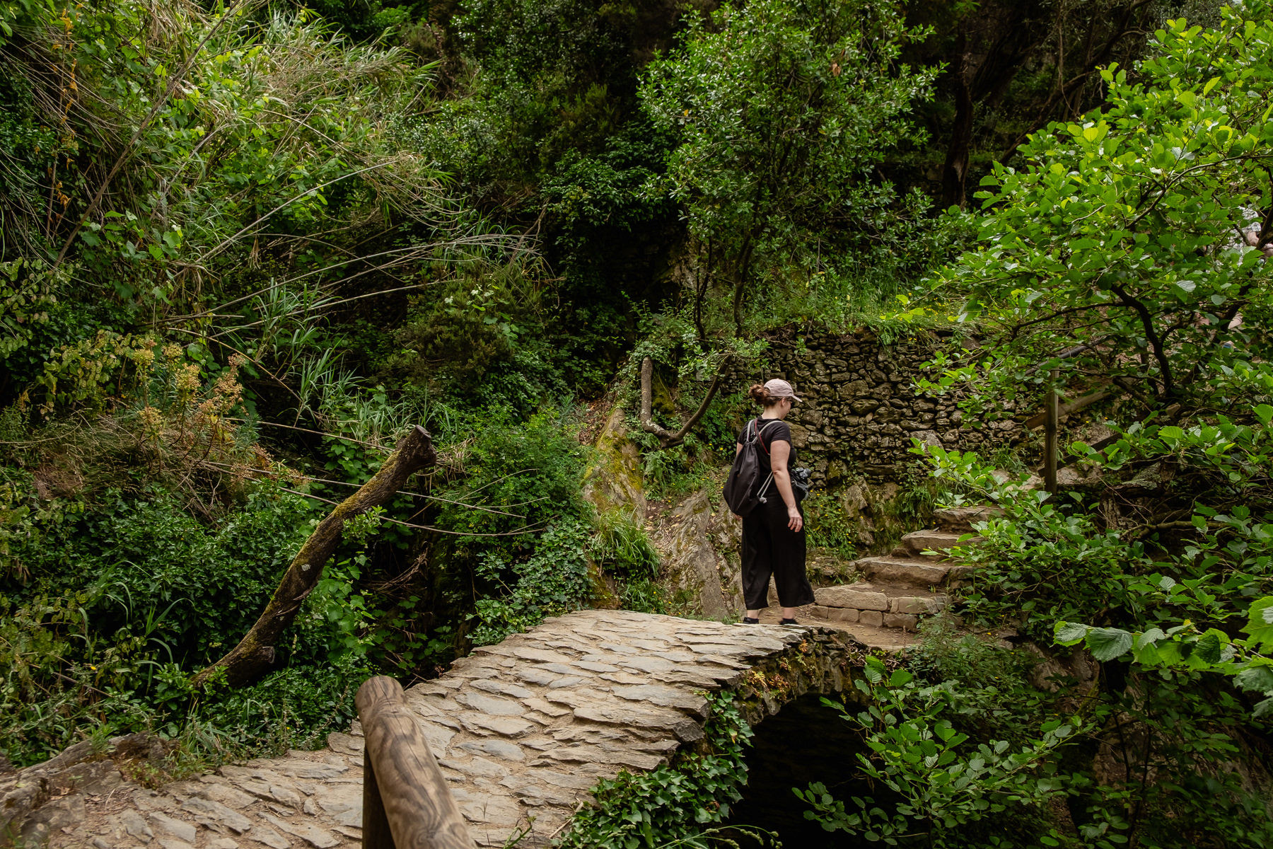
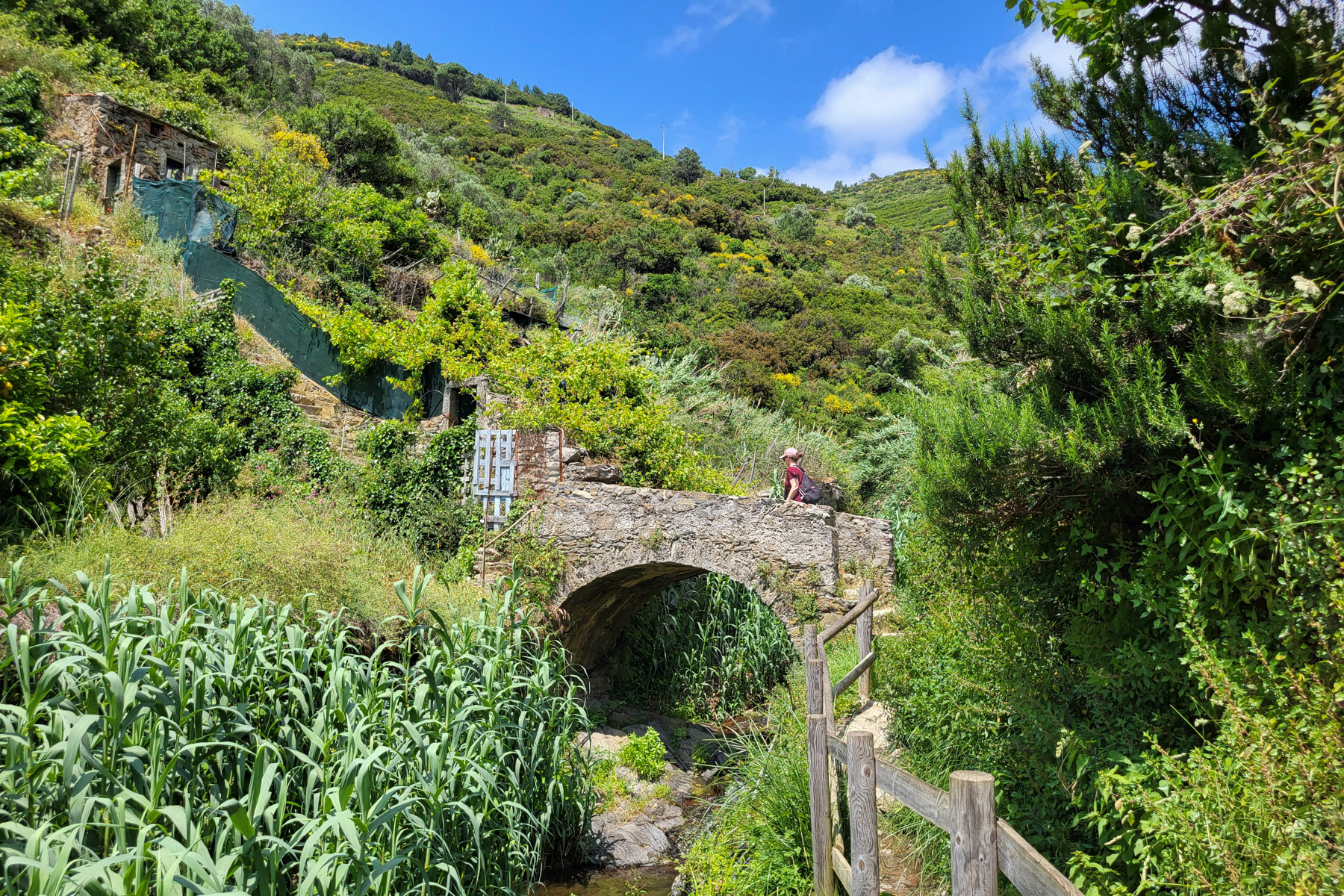
A cute stone bridge on the way.
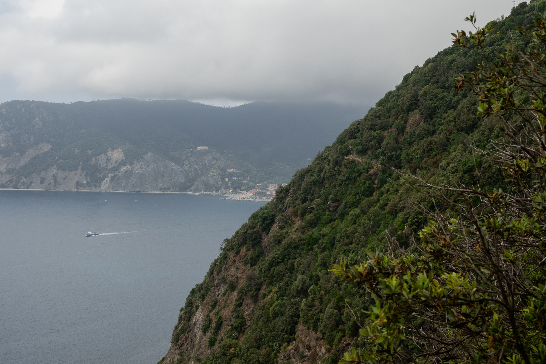
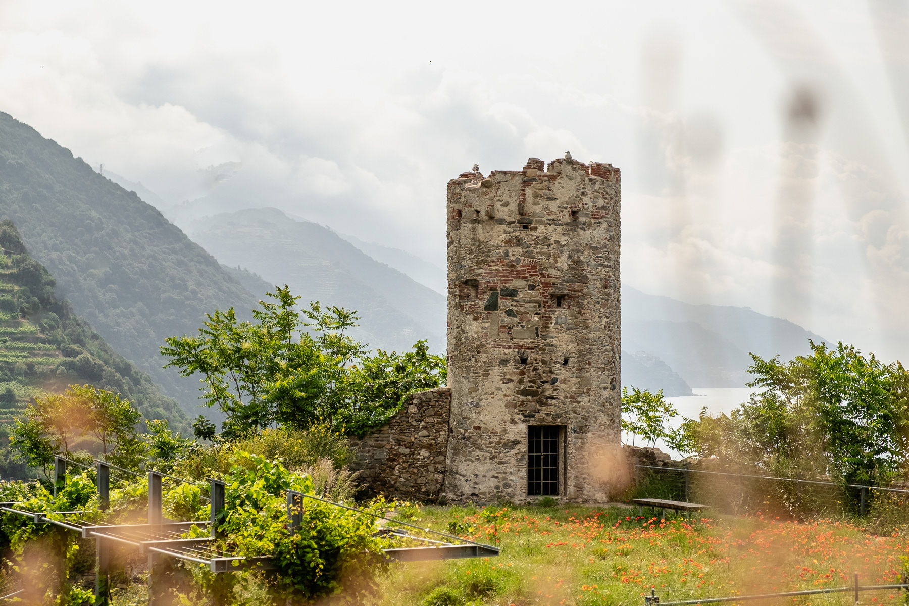
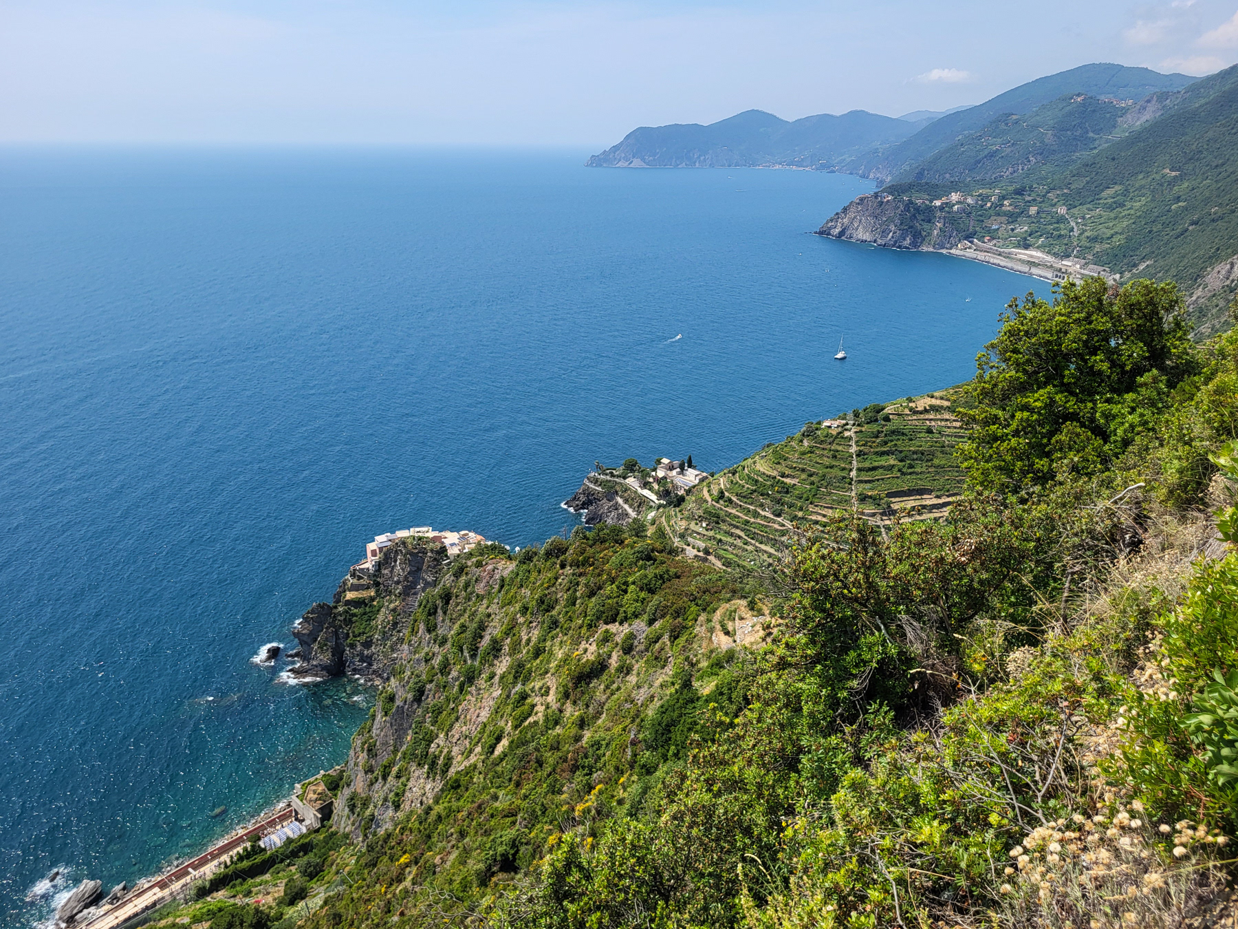
Notice the altitude difference. Click on the photo to see the trail high up the hill on the right.
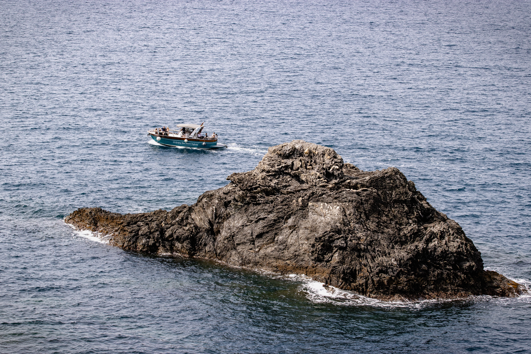
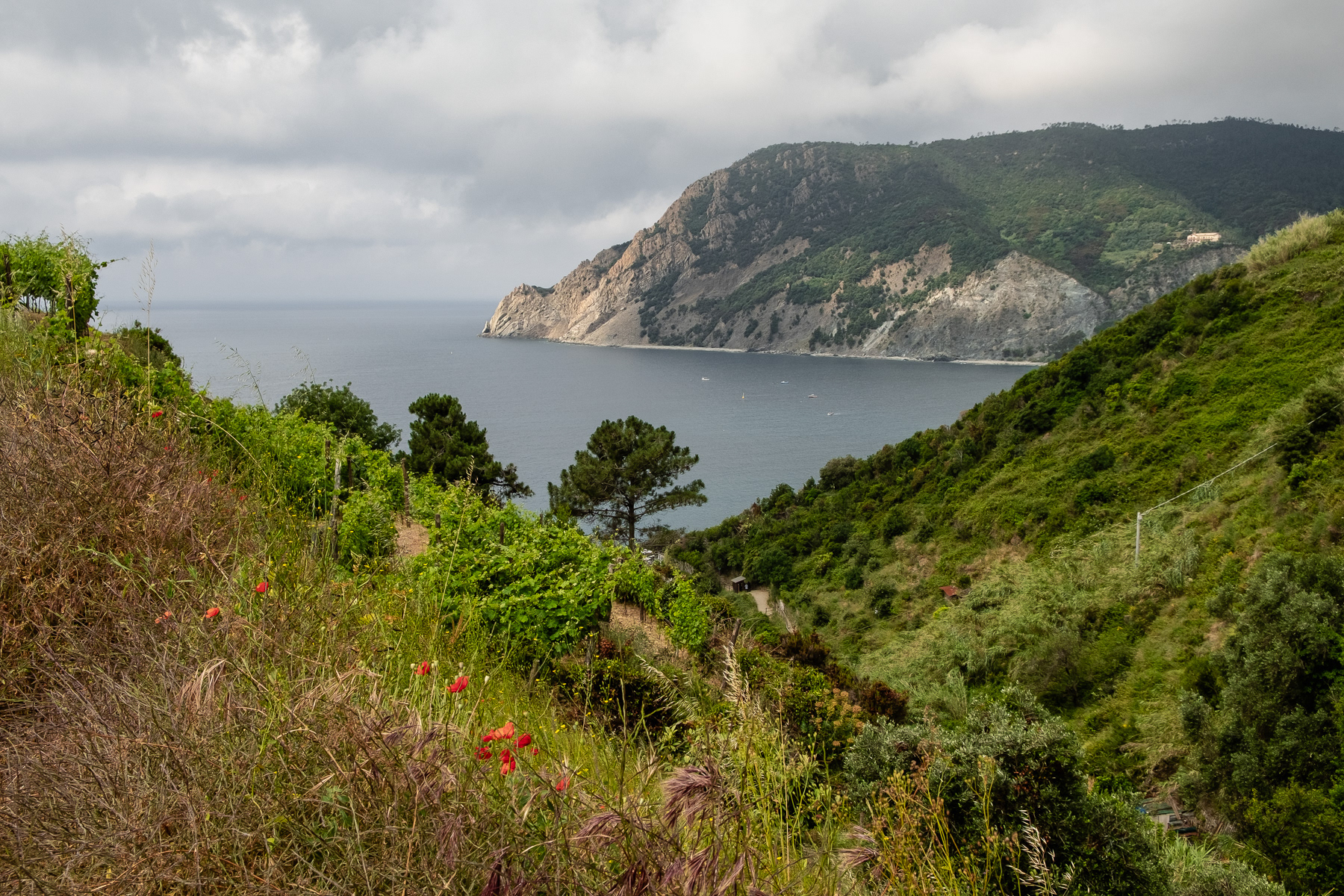
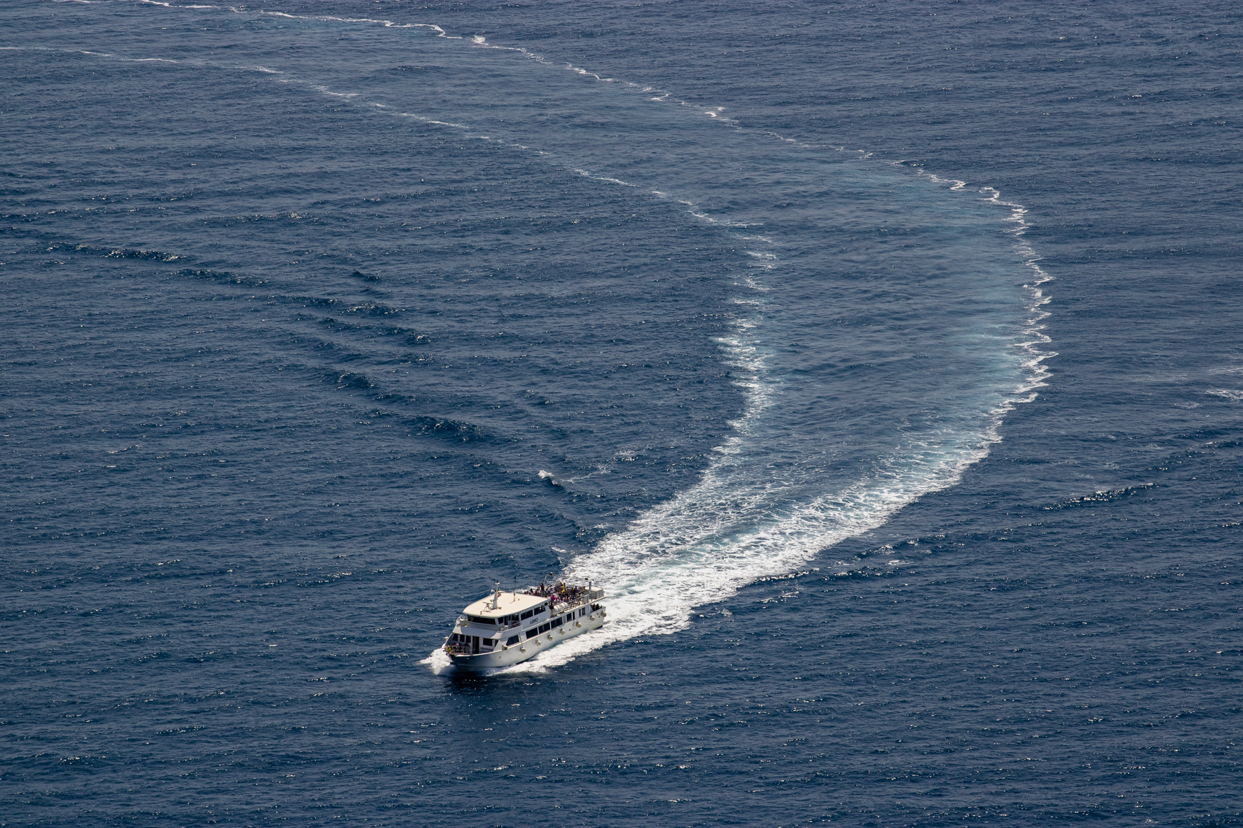
Spotted from the hiking trail from Monterosso to Vernzazza, a tourist boat passes a big rock in the Ligurian Sea.
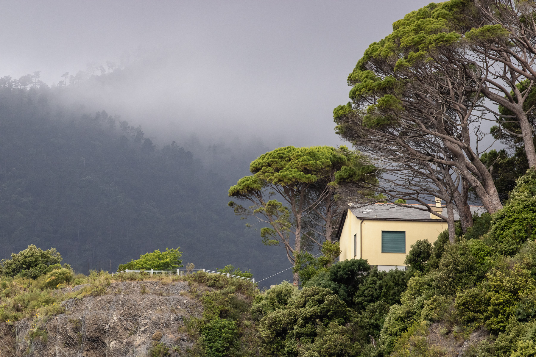
A house high on the hill near Monterosso al Mare.
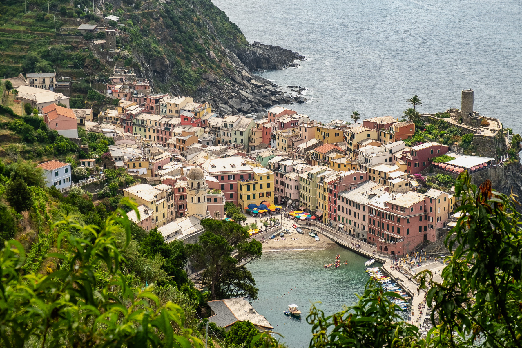
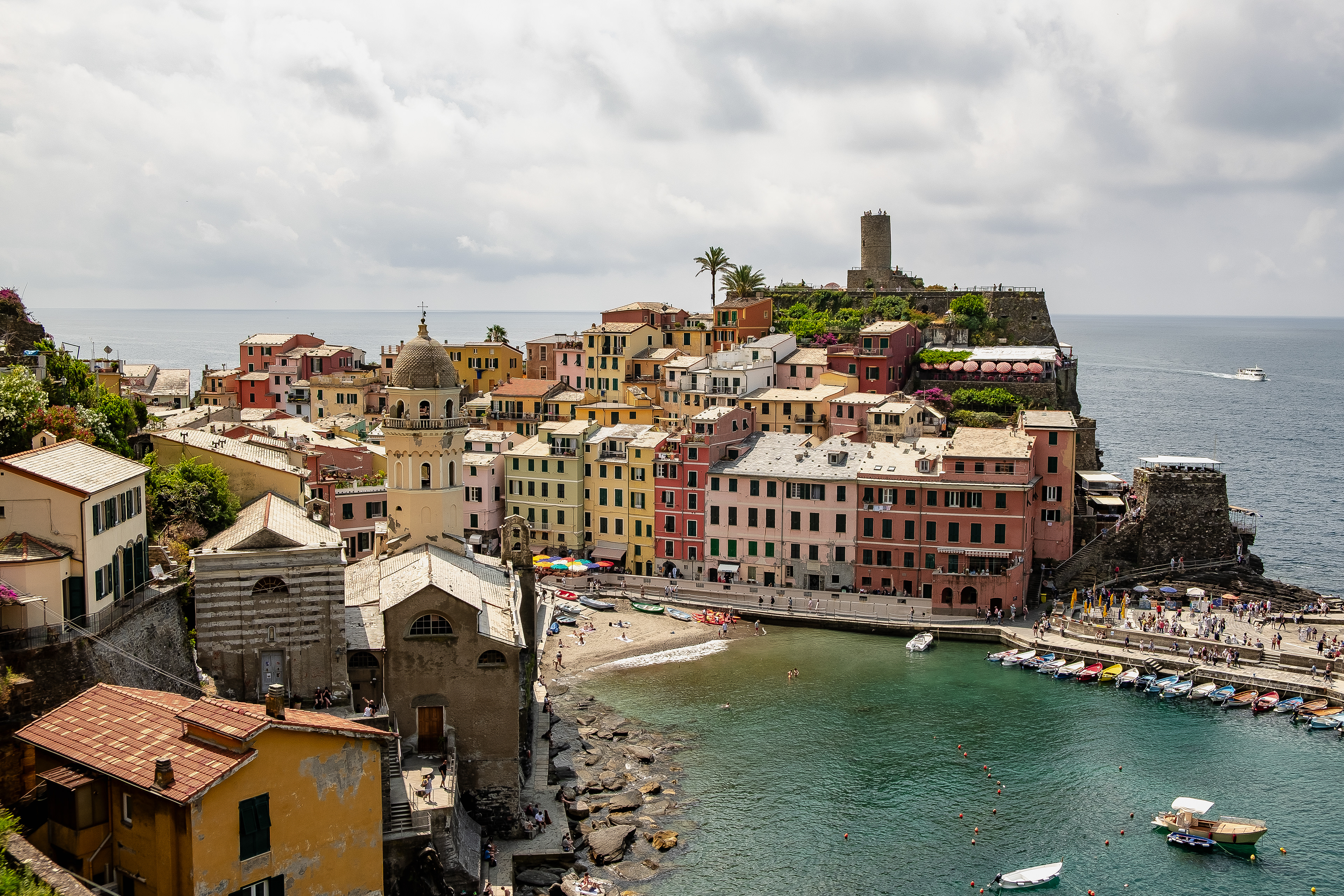
Vernazza, seen from the hills north of it.
Entering Vernazza from the trail coming from Monterosso al Mare.
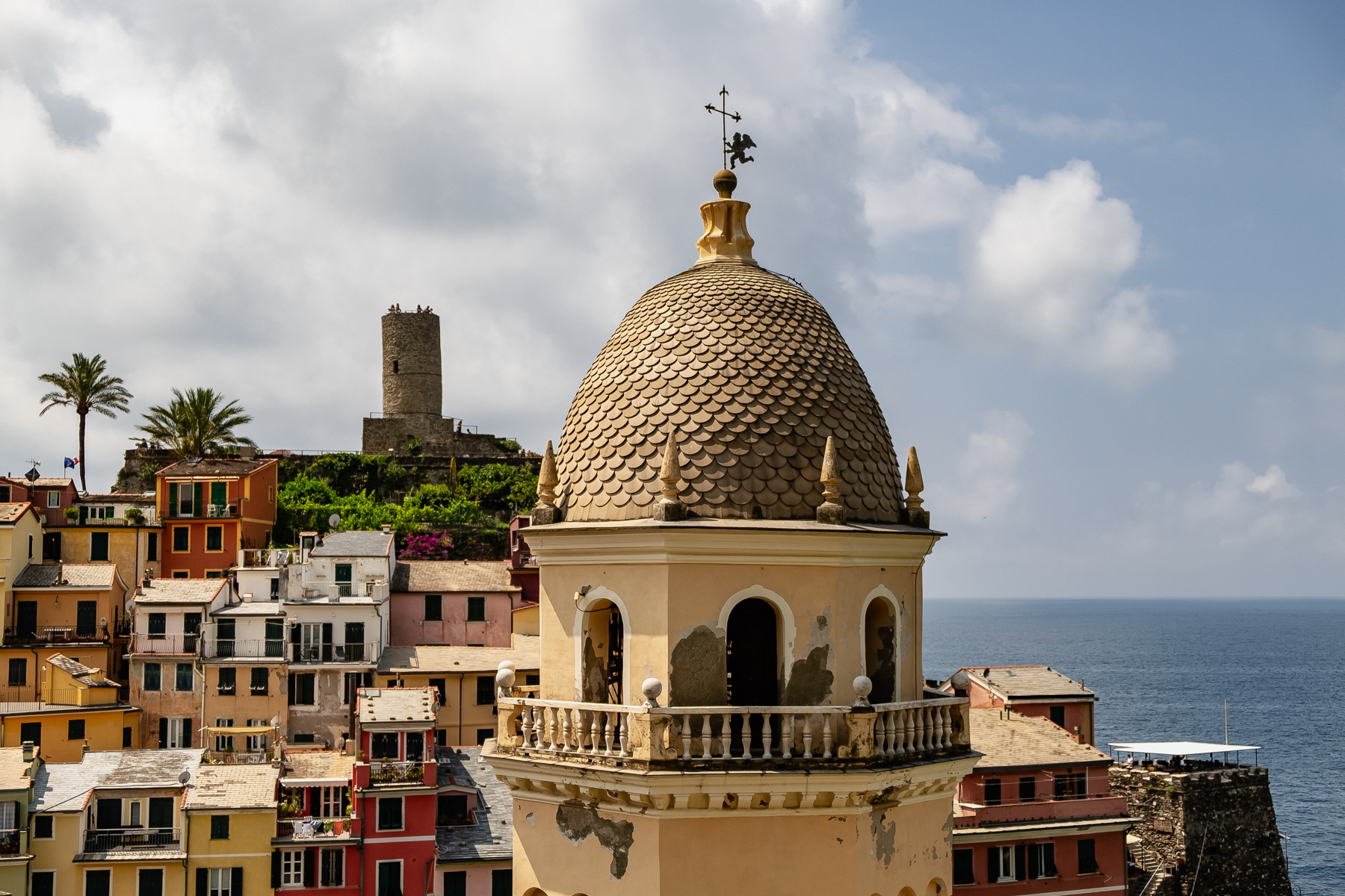
The tower of the church Chiesa di Santa Margherita, with the Vernazza castle in the background.
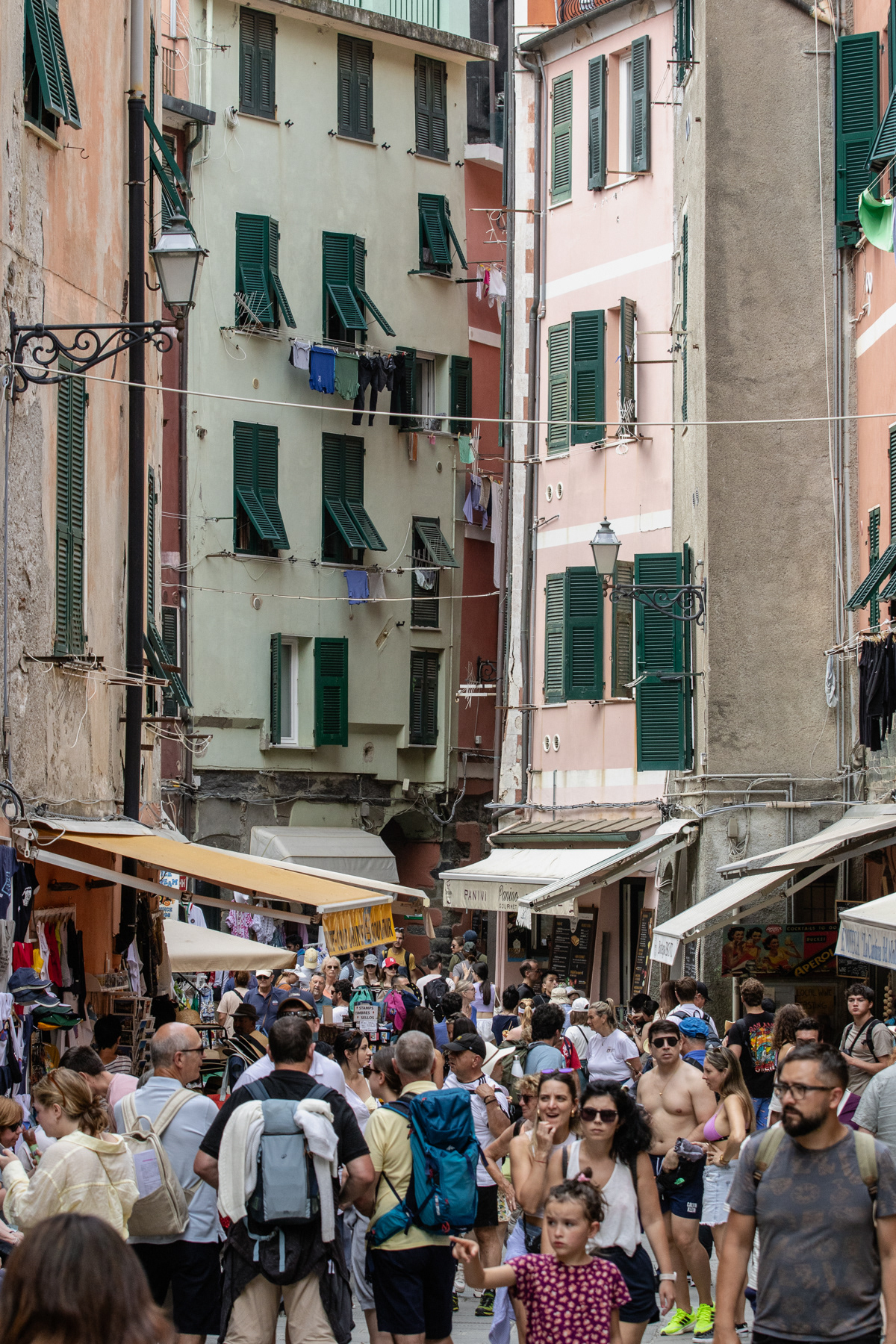
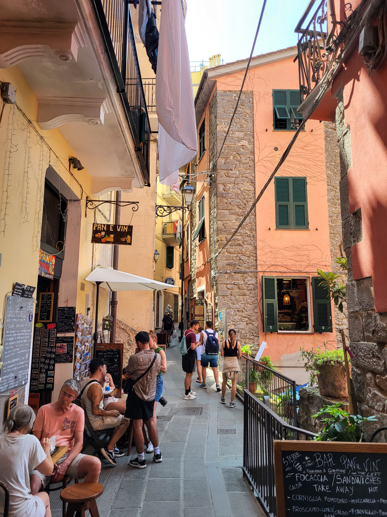
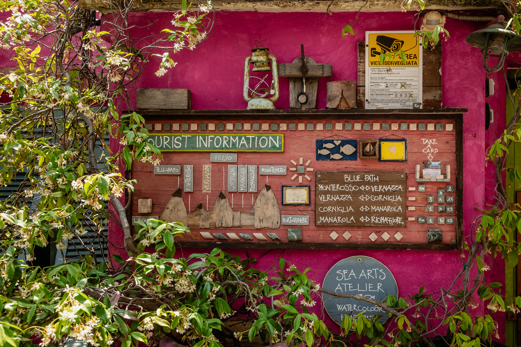
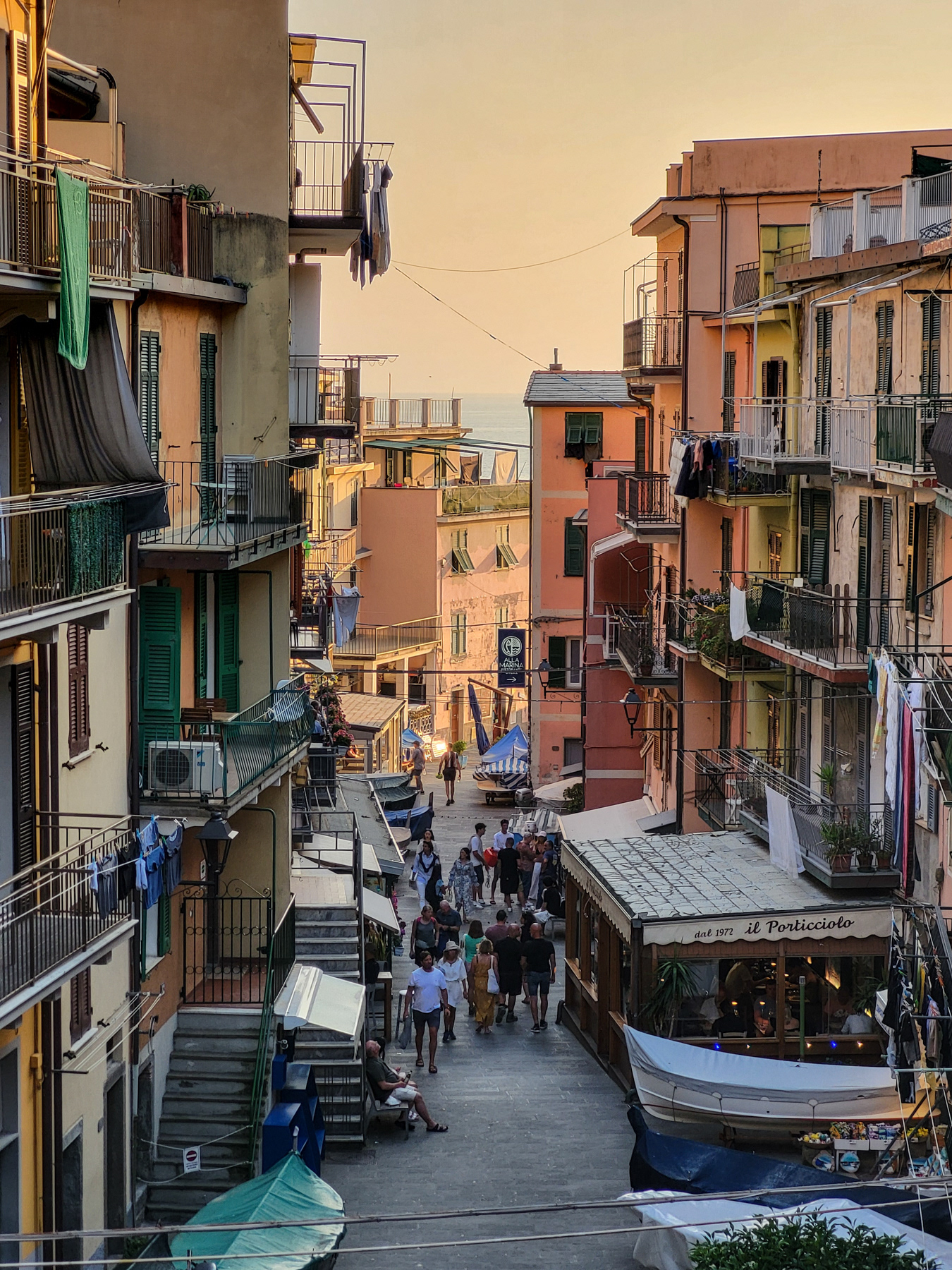
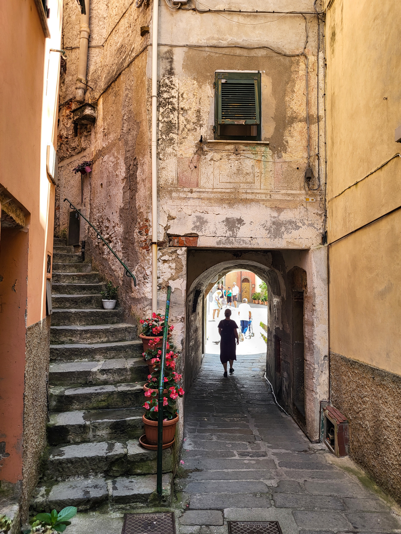
The busy main street of Vernazza.
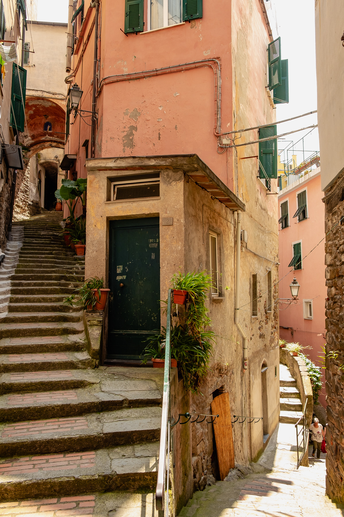
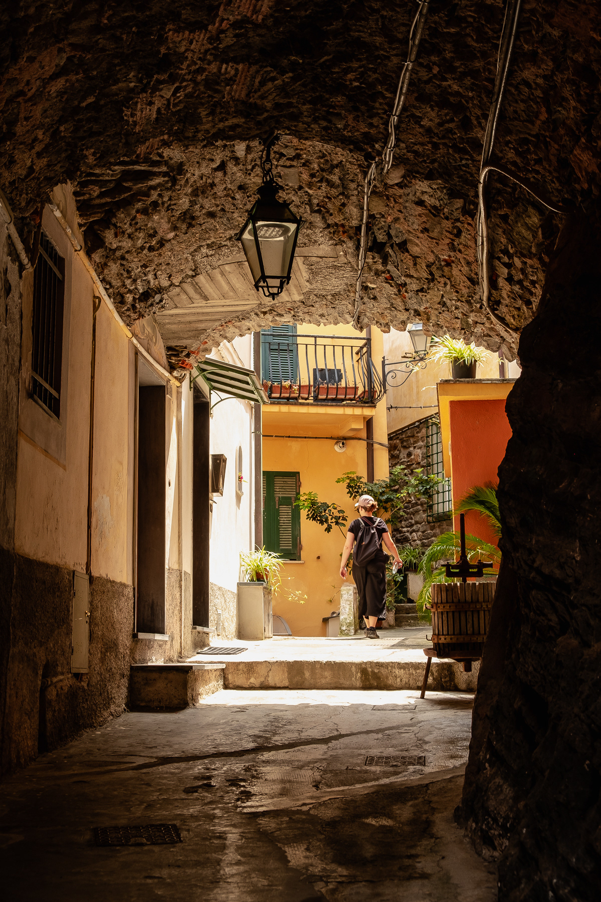
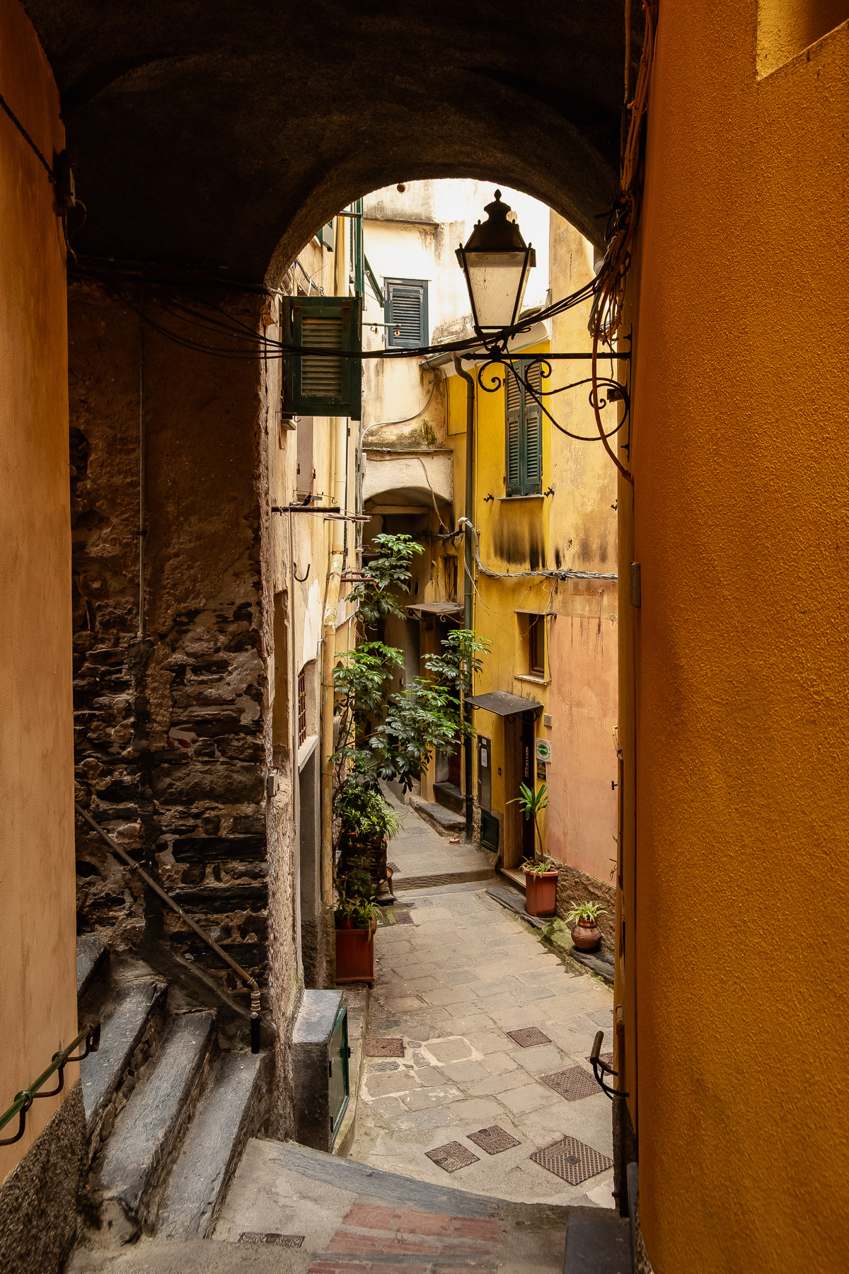
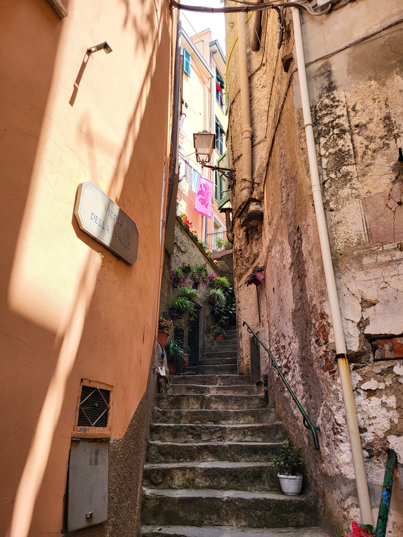
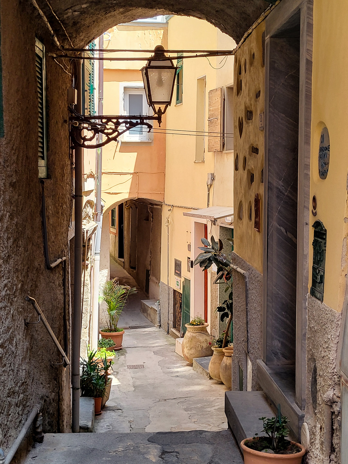
A quiet back street.
View at the church from higher up.

A florishing cactus on the trail from Vernazza to Corniglia.
If one gets uphill from the main street ...
... one finds hardly any tourist.
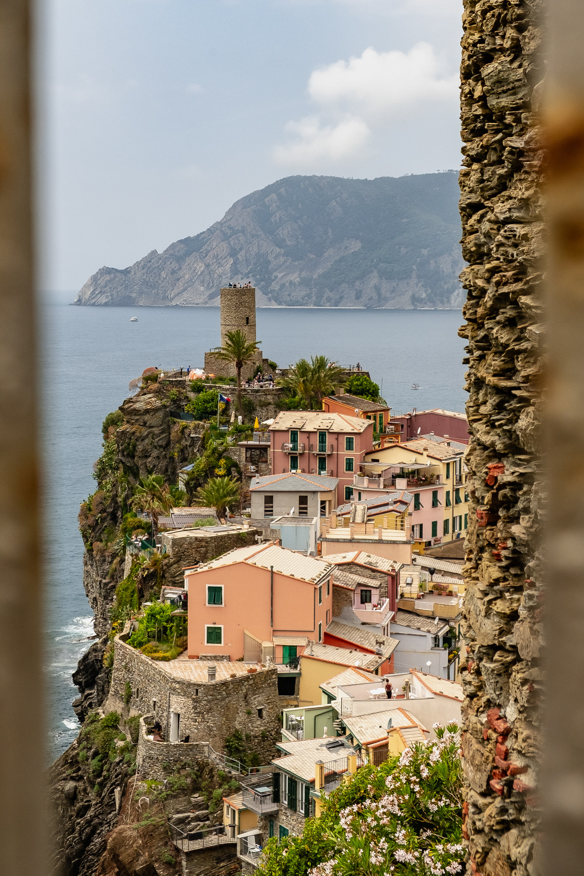
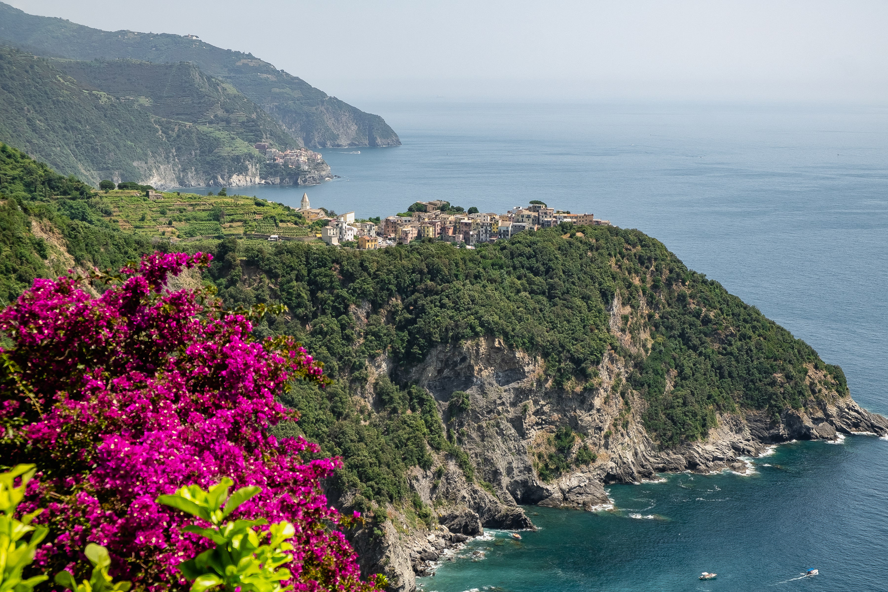
View from the south at Vernazza and its castle tower.
View to the north at Vernazza and - in the far distance - Monterosso al Mare.
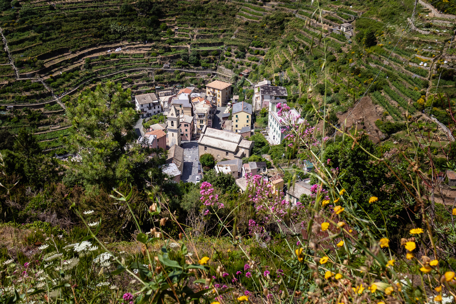
First sight of Corniglia on the trail coming from Vernazza. In the distance Manarola is already visible. Corniglia has no direct sea access, and no beach. It is high up on the rocks.
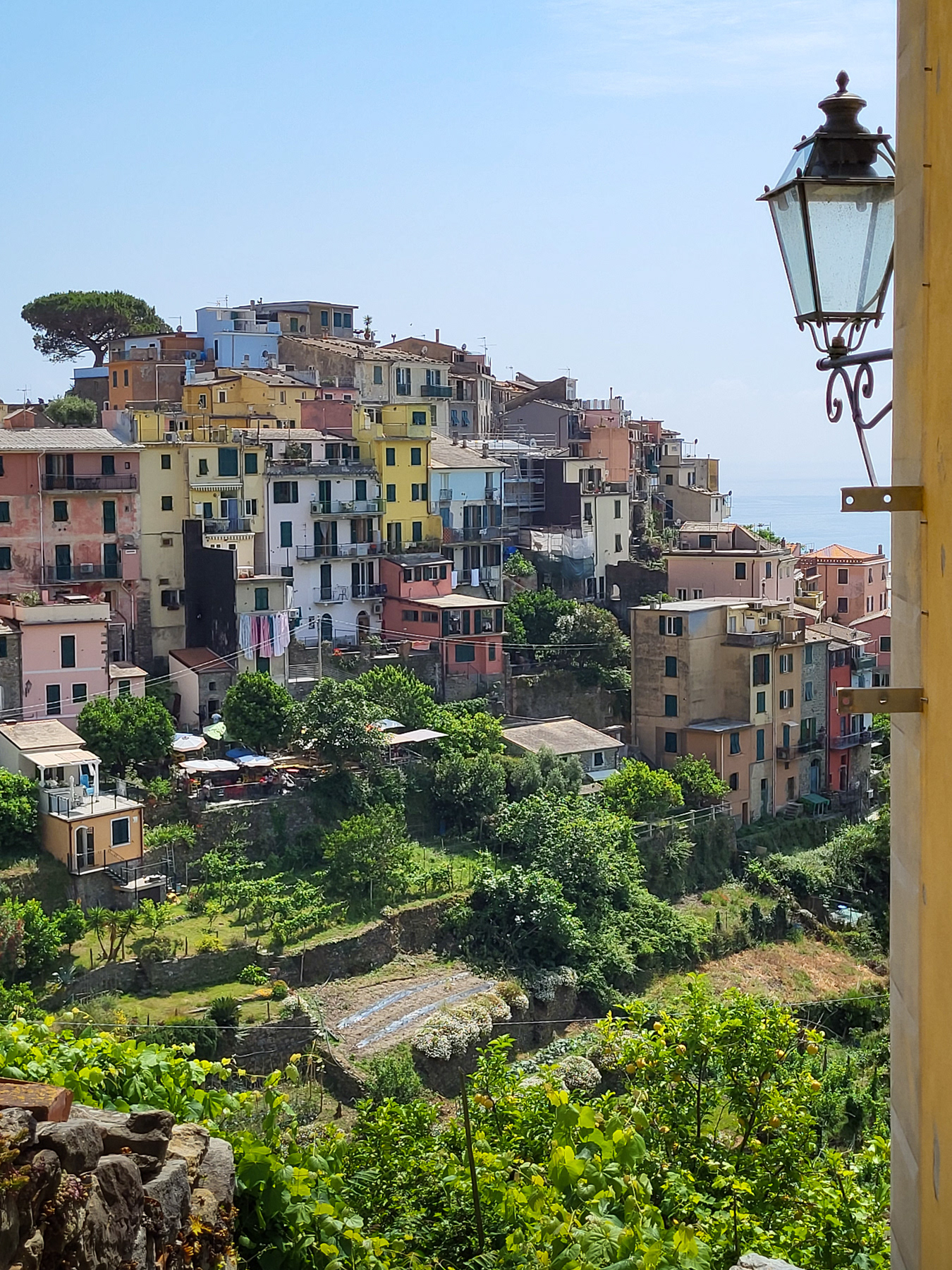
Walking into Corgnilia.
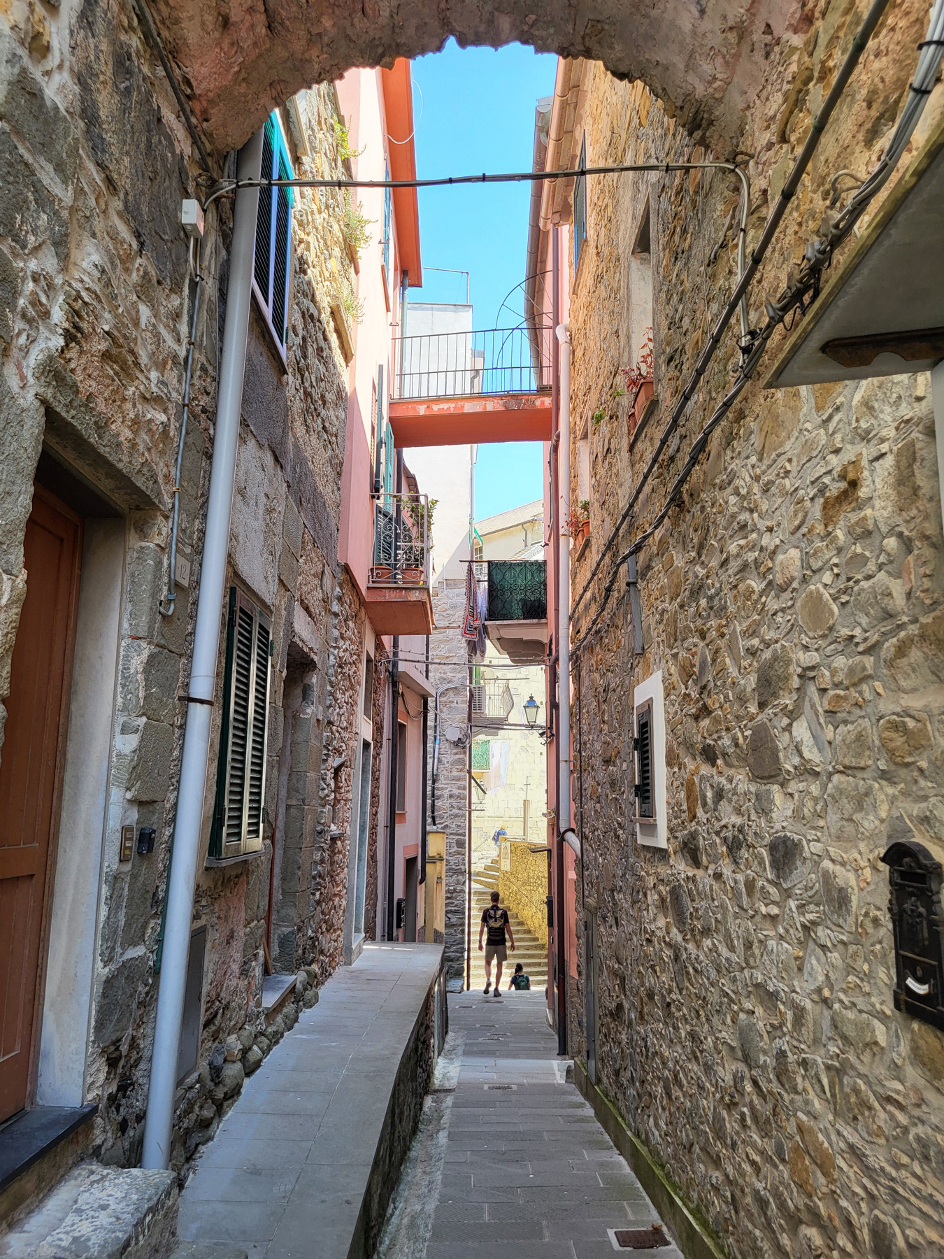
An alley leading to the centre.
Inside the centre of Corgnilia.
An art gallery along the trail from Vernazza to Corniglia.
At the local church.
At the local church.
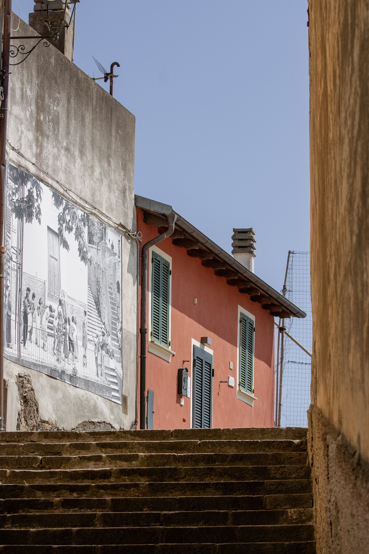
Steps to a viewpoint at the Oratorio dei Disciplinanti.
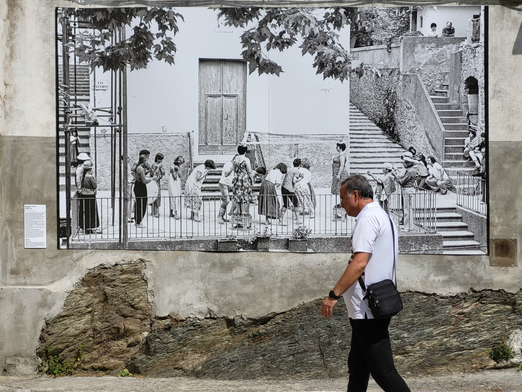
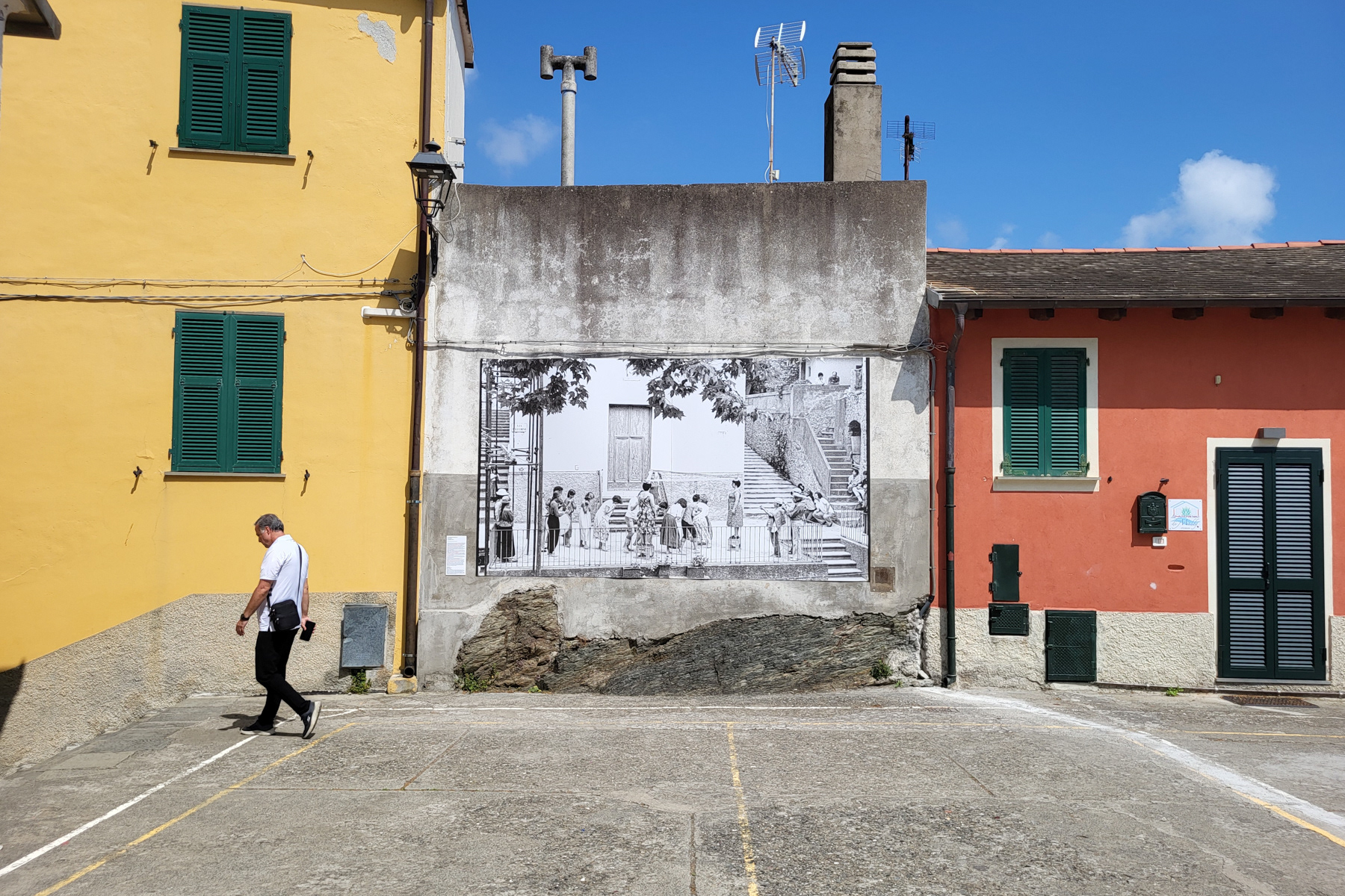
Anno Uno, a photo from Corniglia in 1981 by Paolo Pellion di Persano on a wall.
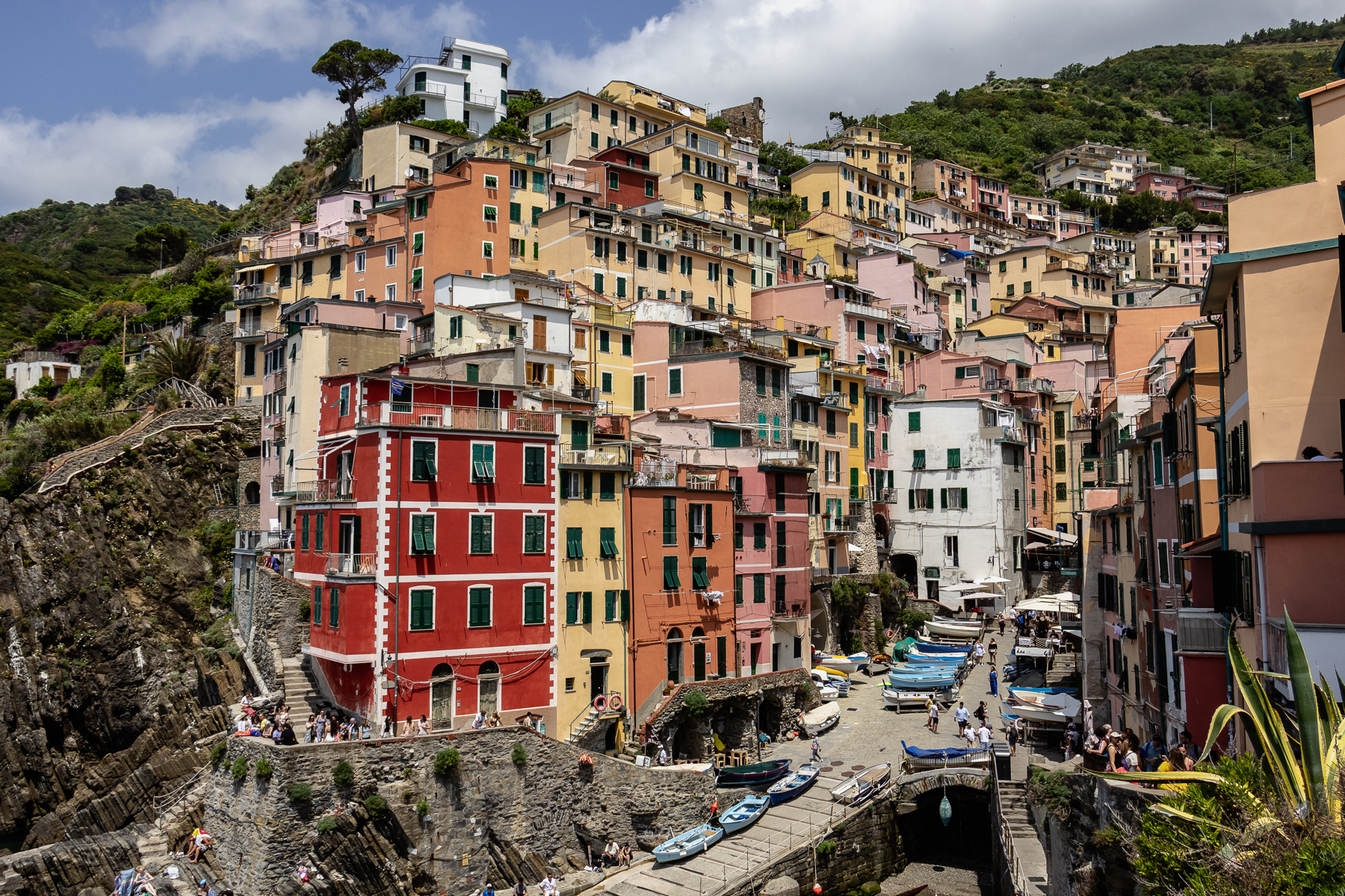
A tour boat heading to Riomaggiore.
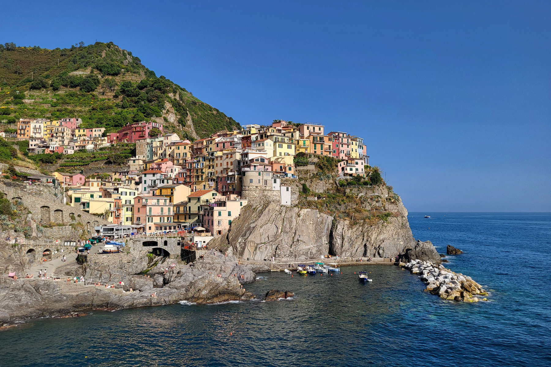
Long-distance view at Manarola from Corniglia. A tour boat is approaching the tiny harbour.
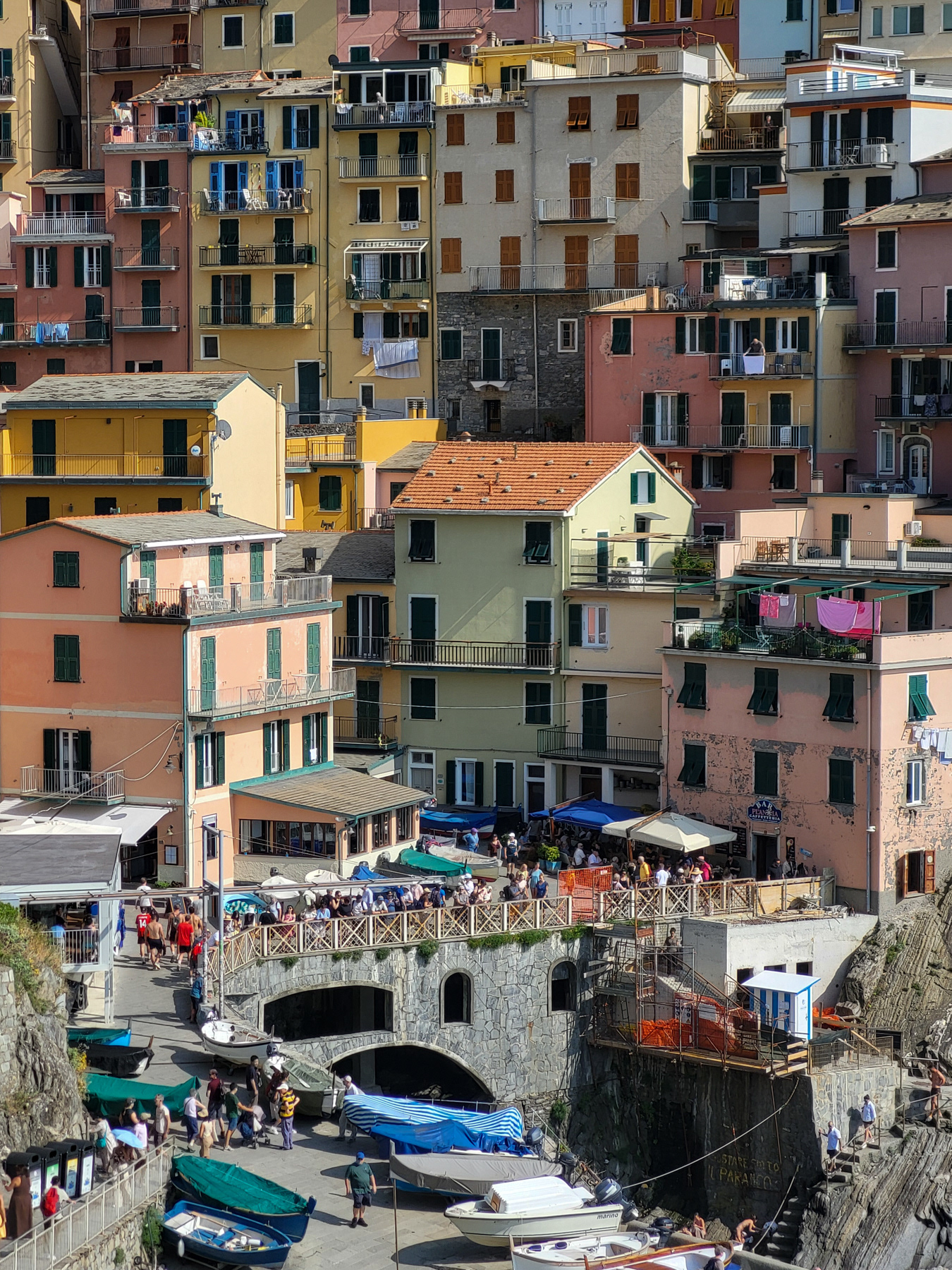
Details of the waterfront square of Manarola.
At the edge of Manarola
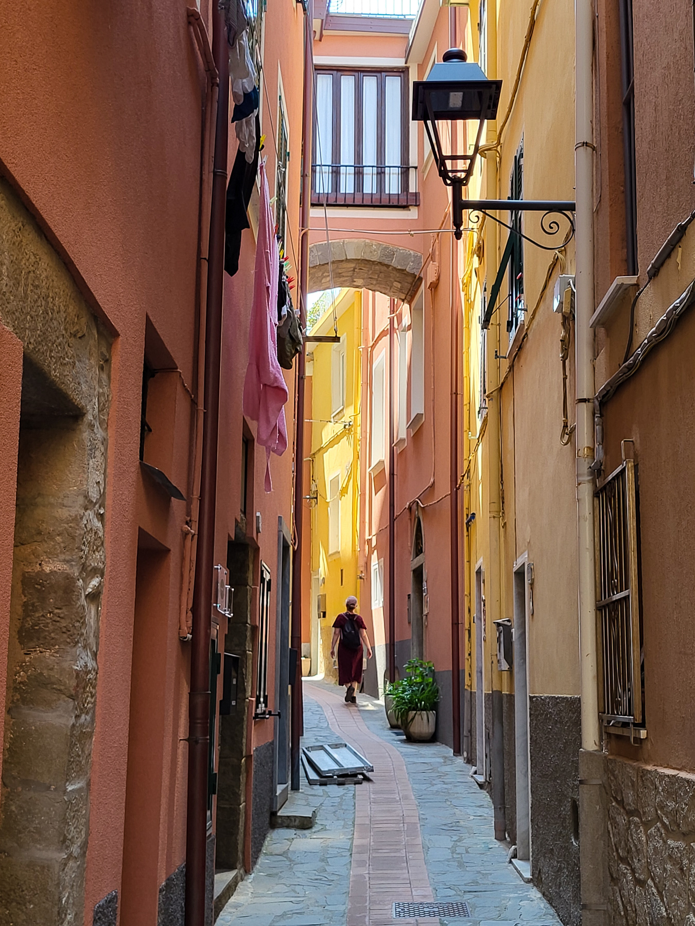
Small side street away from the tourists in Manarola.
Houses have been built on the round remnants of the Manarola castle.
The cliffs down in the harbour bay of Manarola.
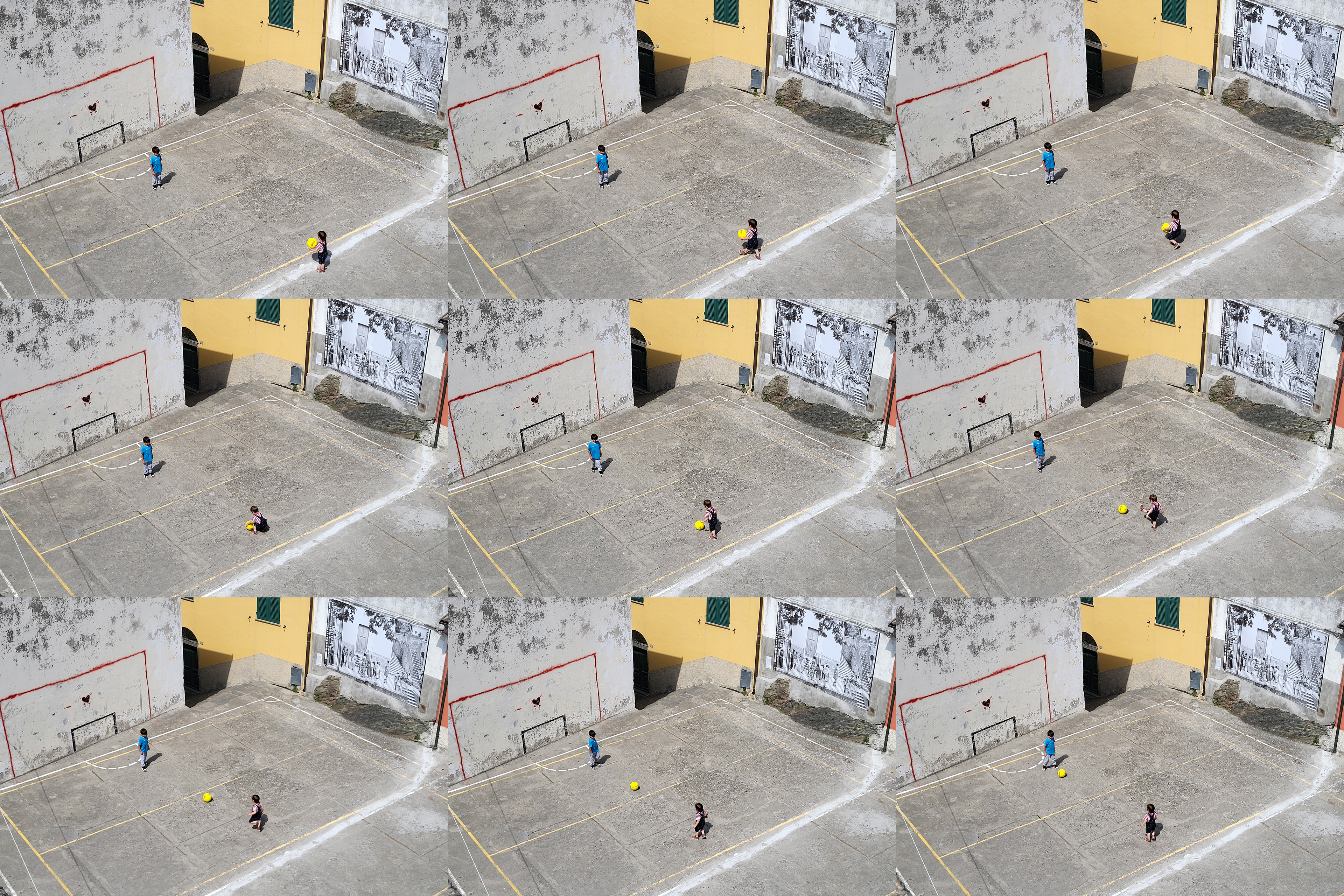
View to the north from a playground.
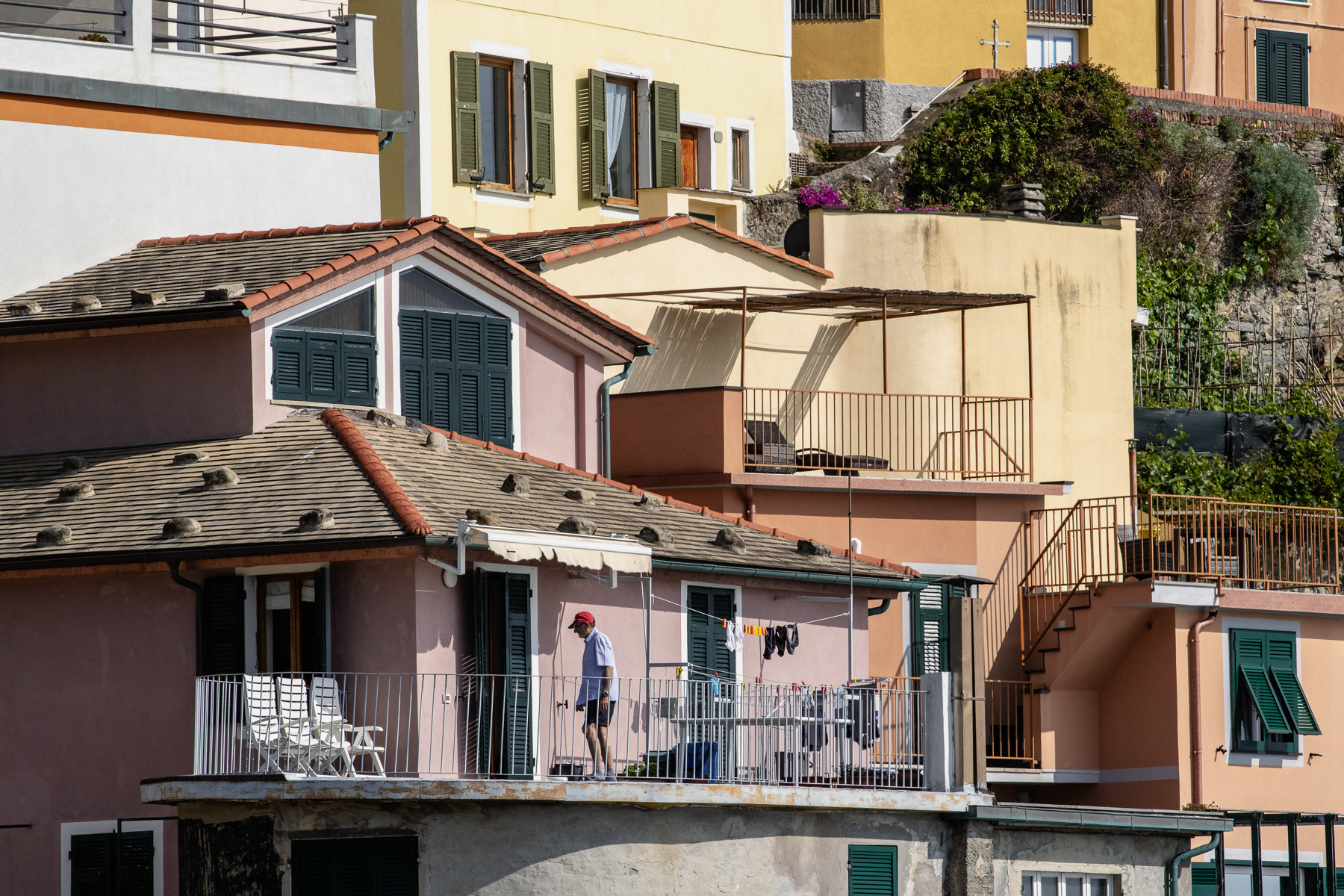
The eastern part of Manarola.
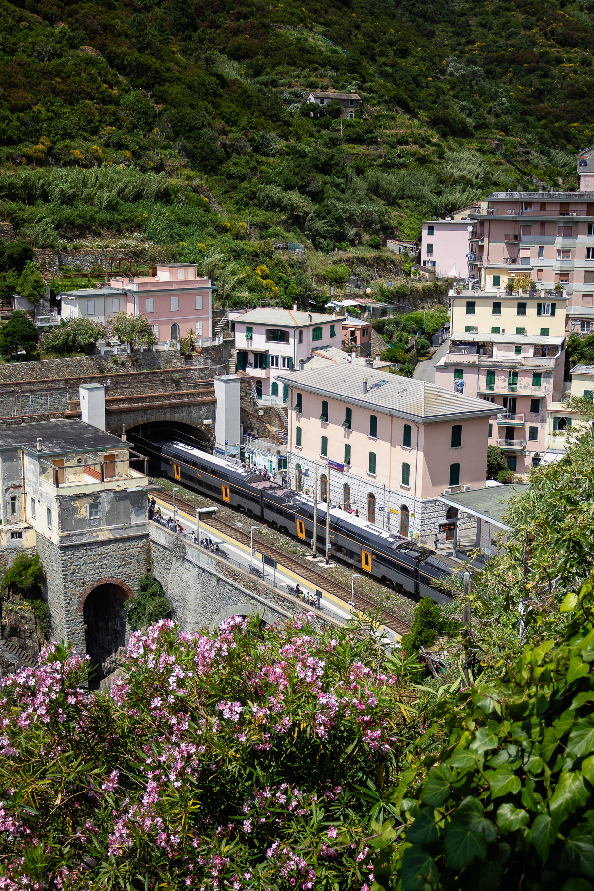
The railway station of Manarola.
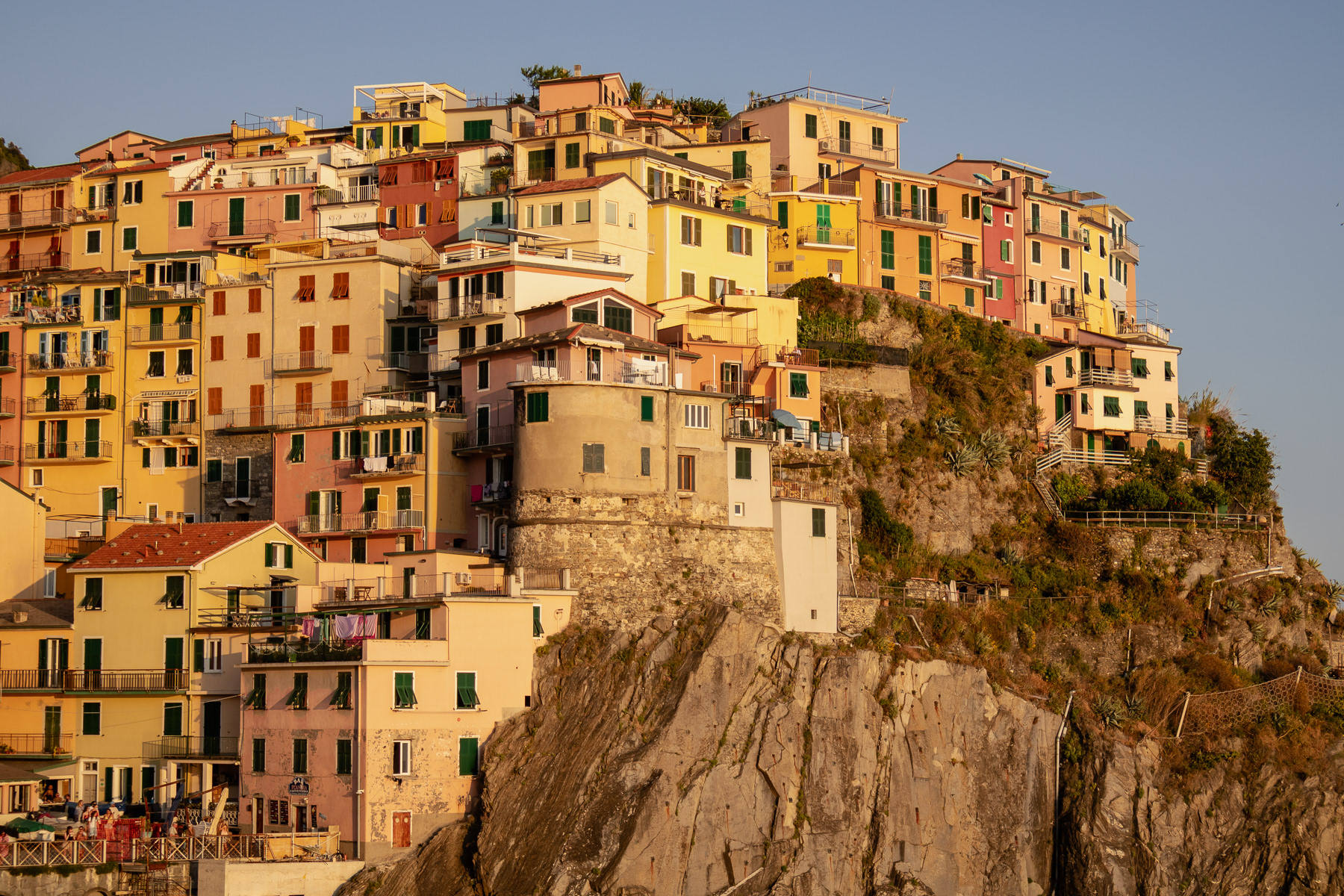
Sunset in Manarola.
Manarola at sunset.
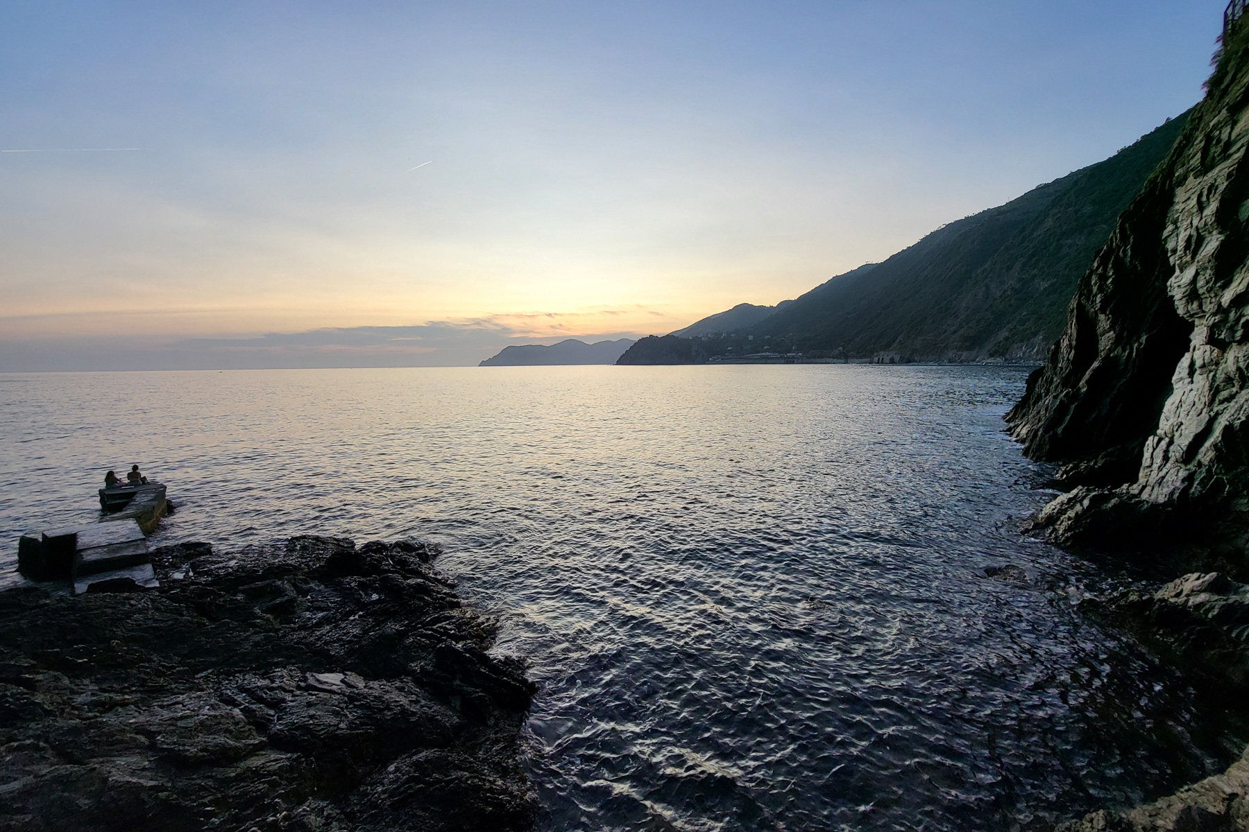
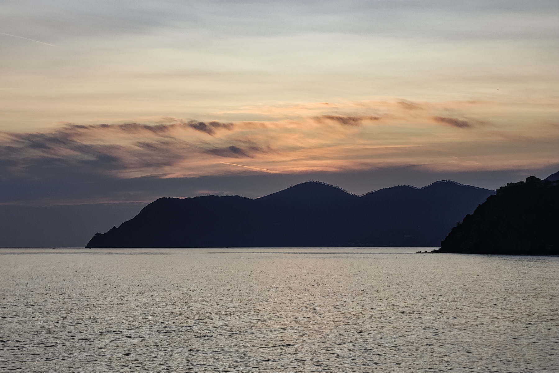
Sunset view to the north
The waterfront path from Manarola to Corniglia has been destroyed by rockslides.
Manarola in the middle of the day.
Close up of the southern side of the village at sunset.
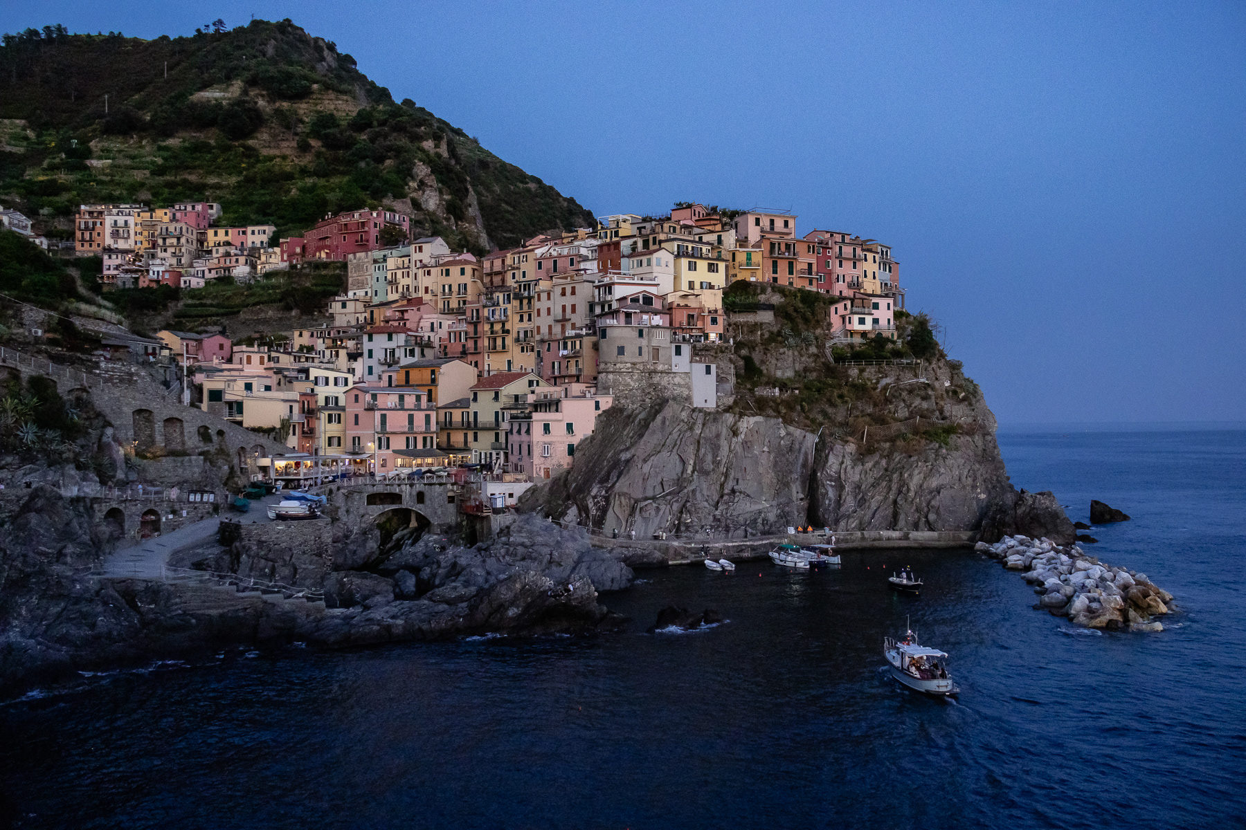
Manarola after sunset.
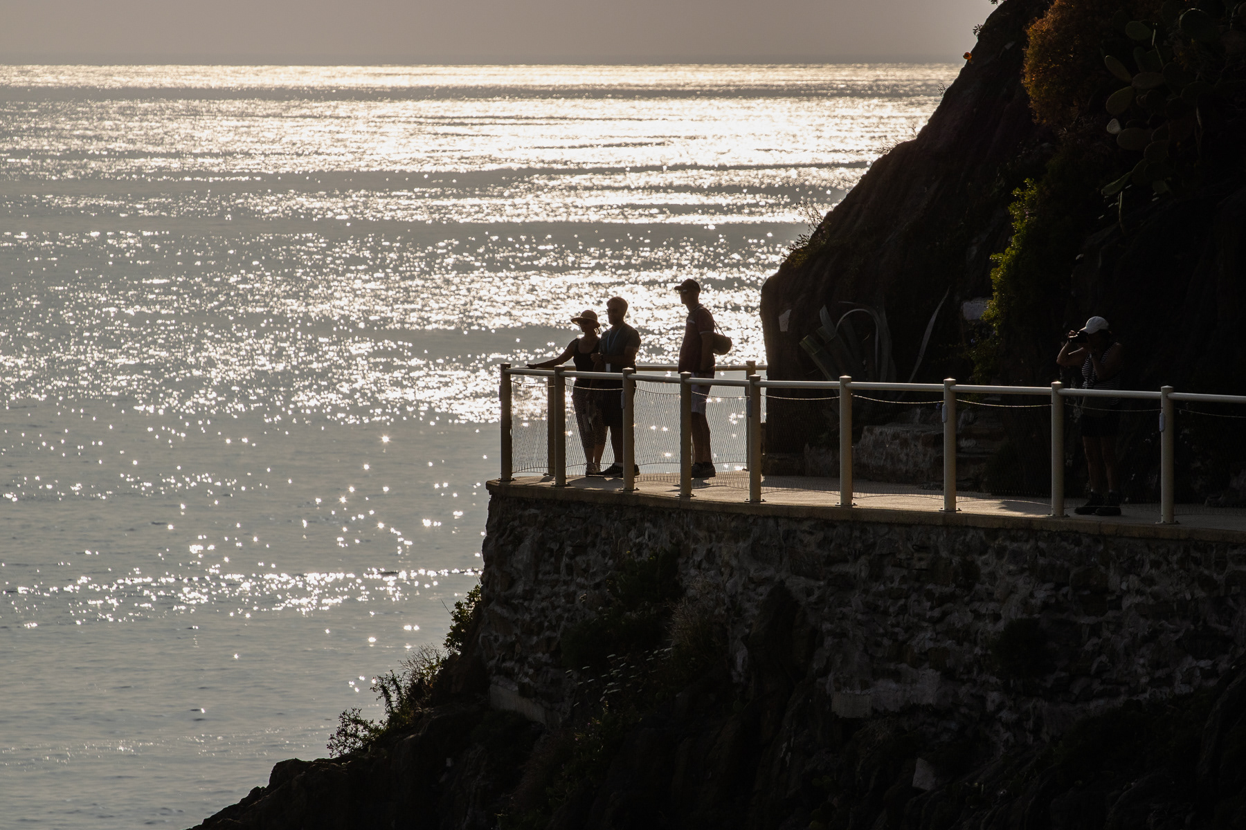
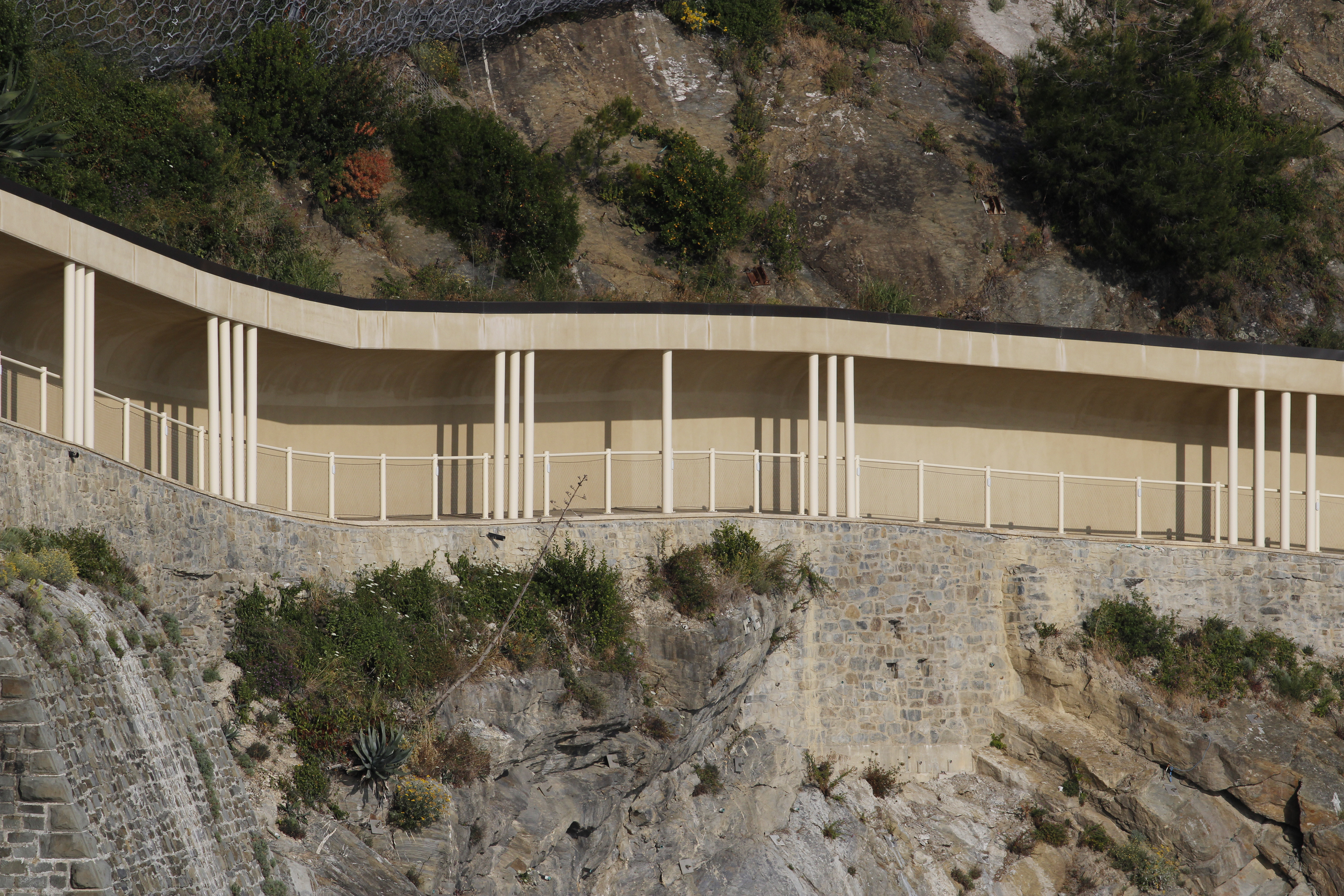
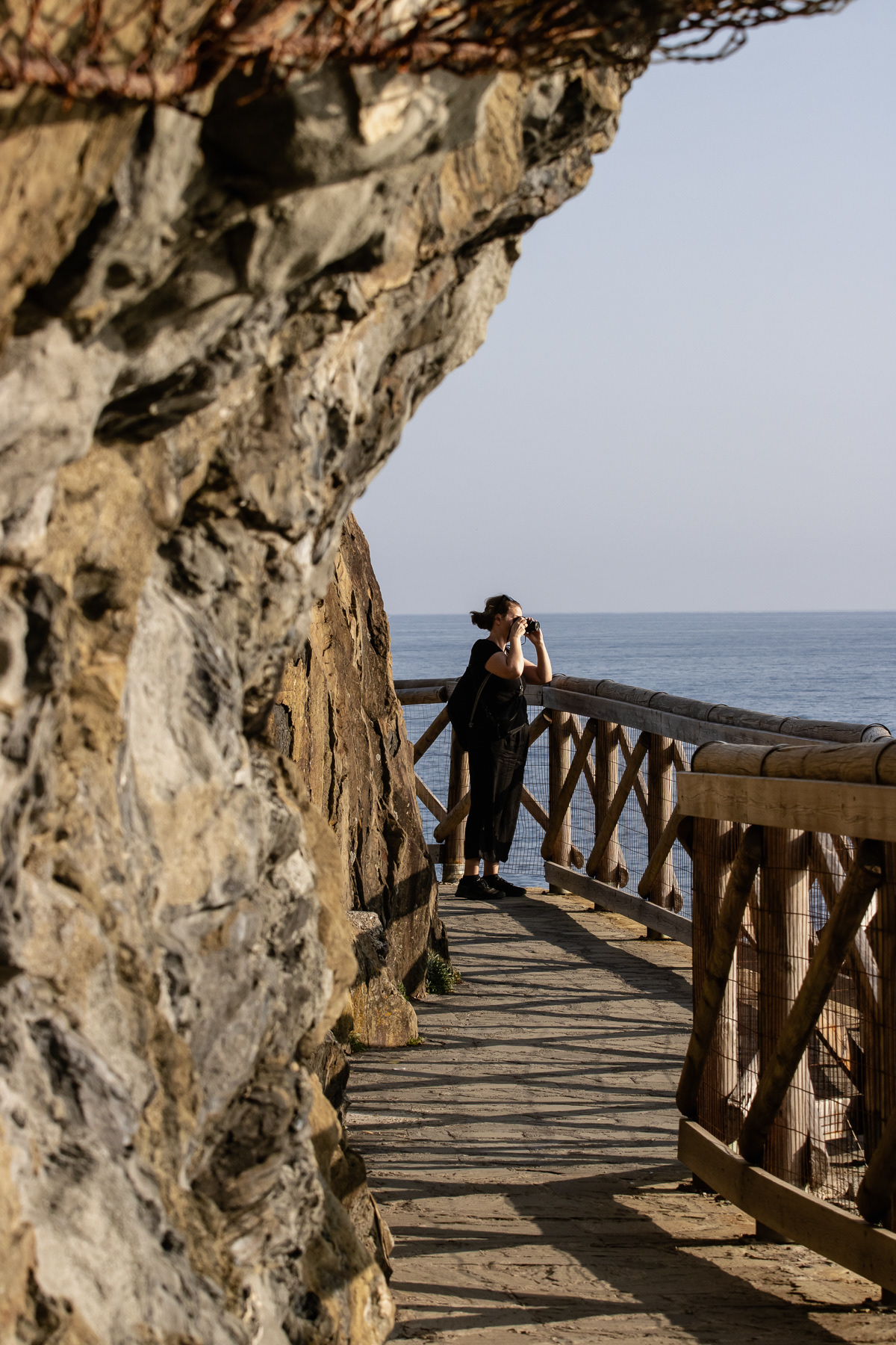
The northern part of the Via dell'Amore, in Manarola, starts with a covered pathway.
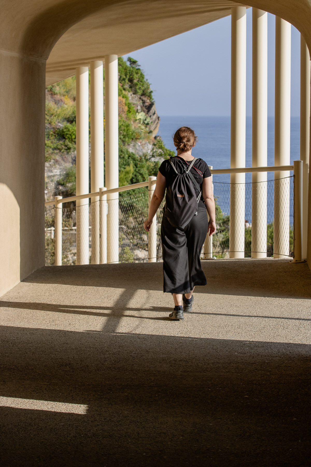
The northern part of the Via dell'Amore.
The southern part of the Via dell'Amore, although this part south of the railway station of Riomaggiore is officially not counted as part of the love trail.
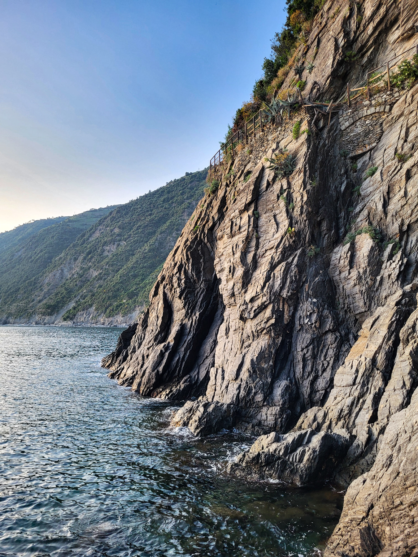
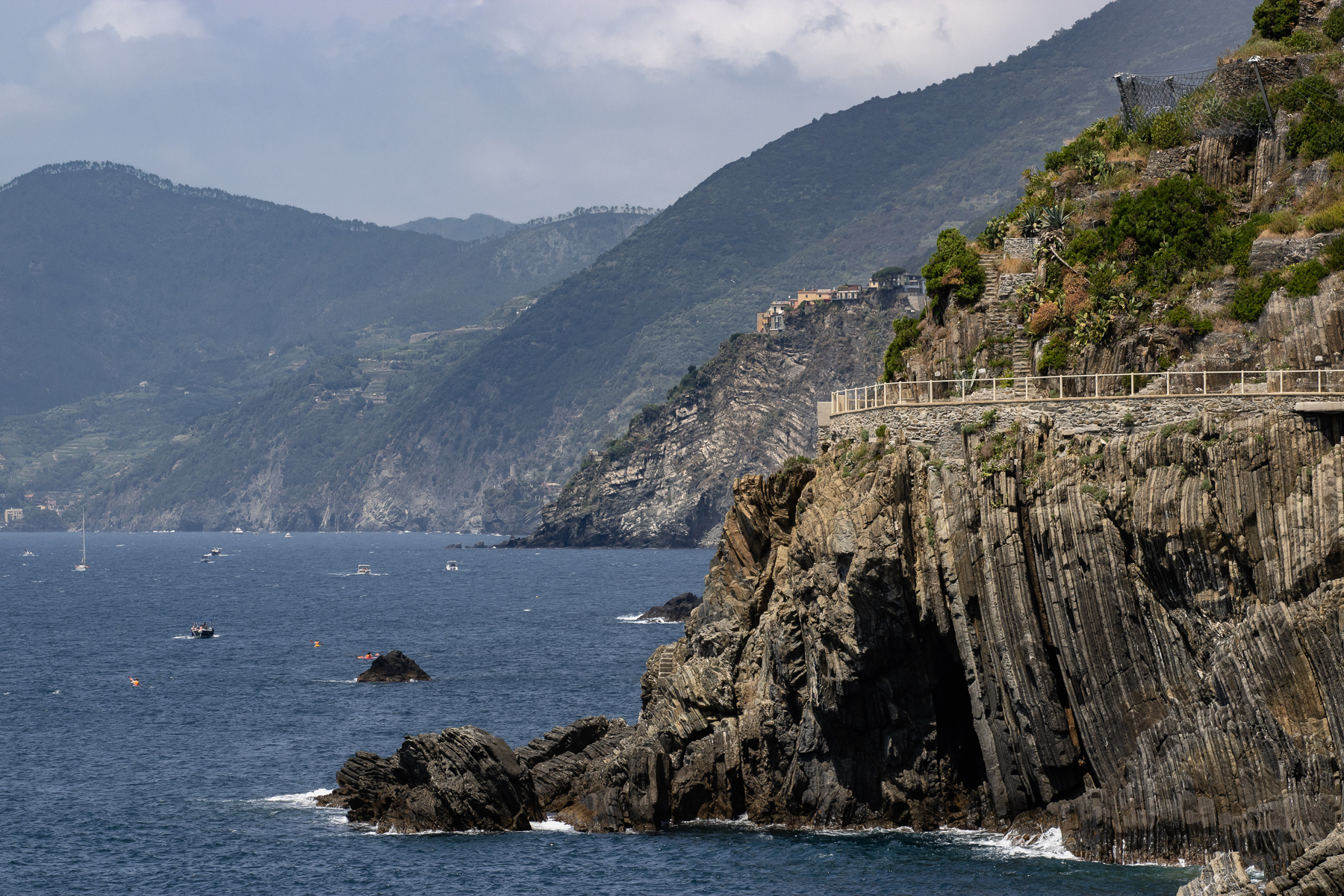
Cliffs with spectacular wear and tear at the Via dell'Amore.
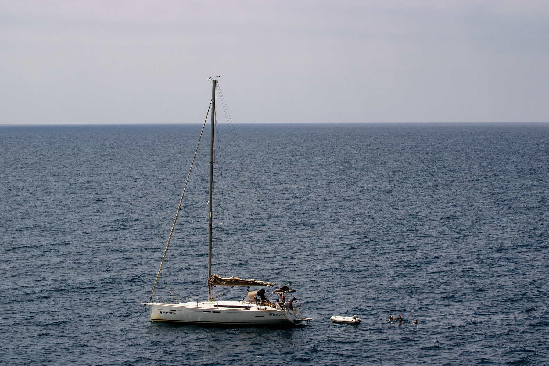
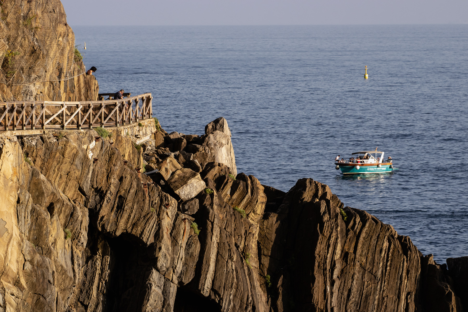
A sailing boat of the Cinque Terre coast. Seen from the Via dell'Amore trail.
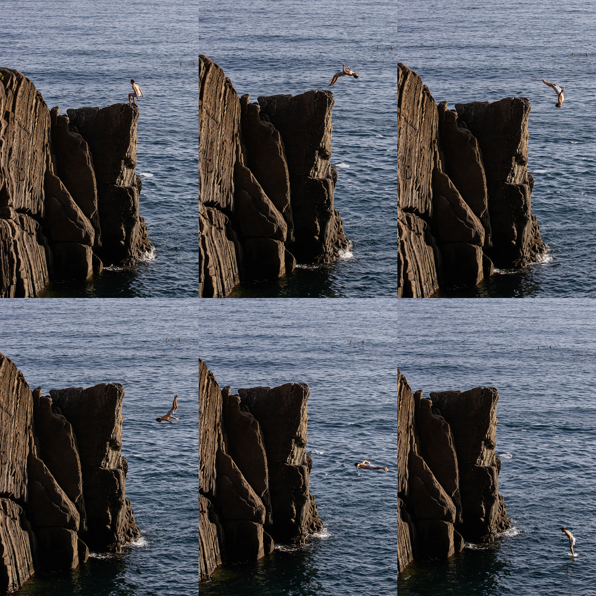
A cliff jumper making his way into the Ligurian Sea.
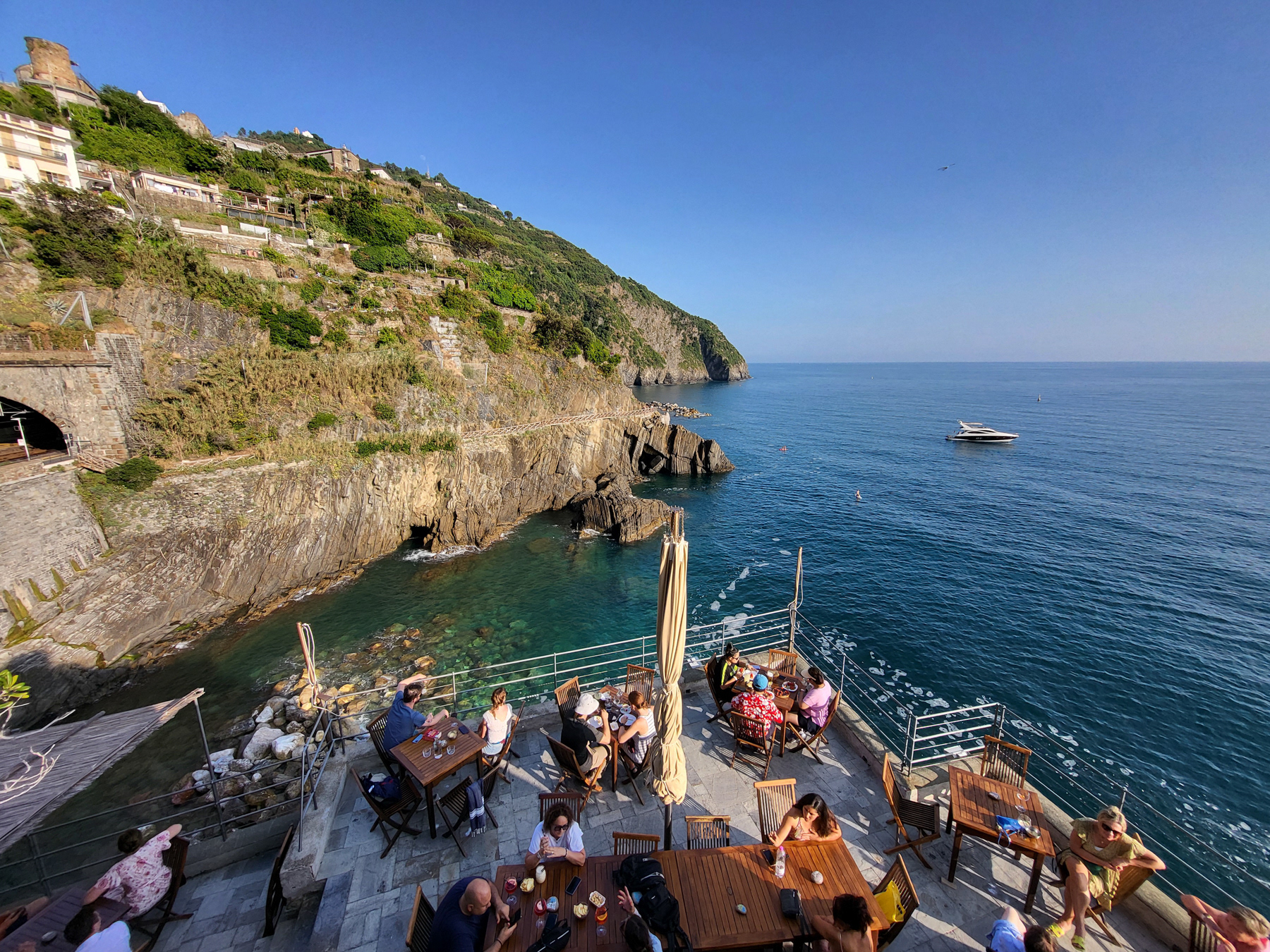
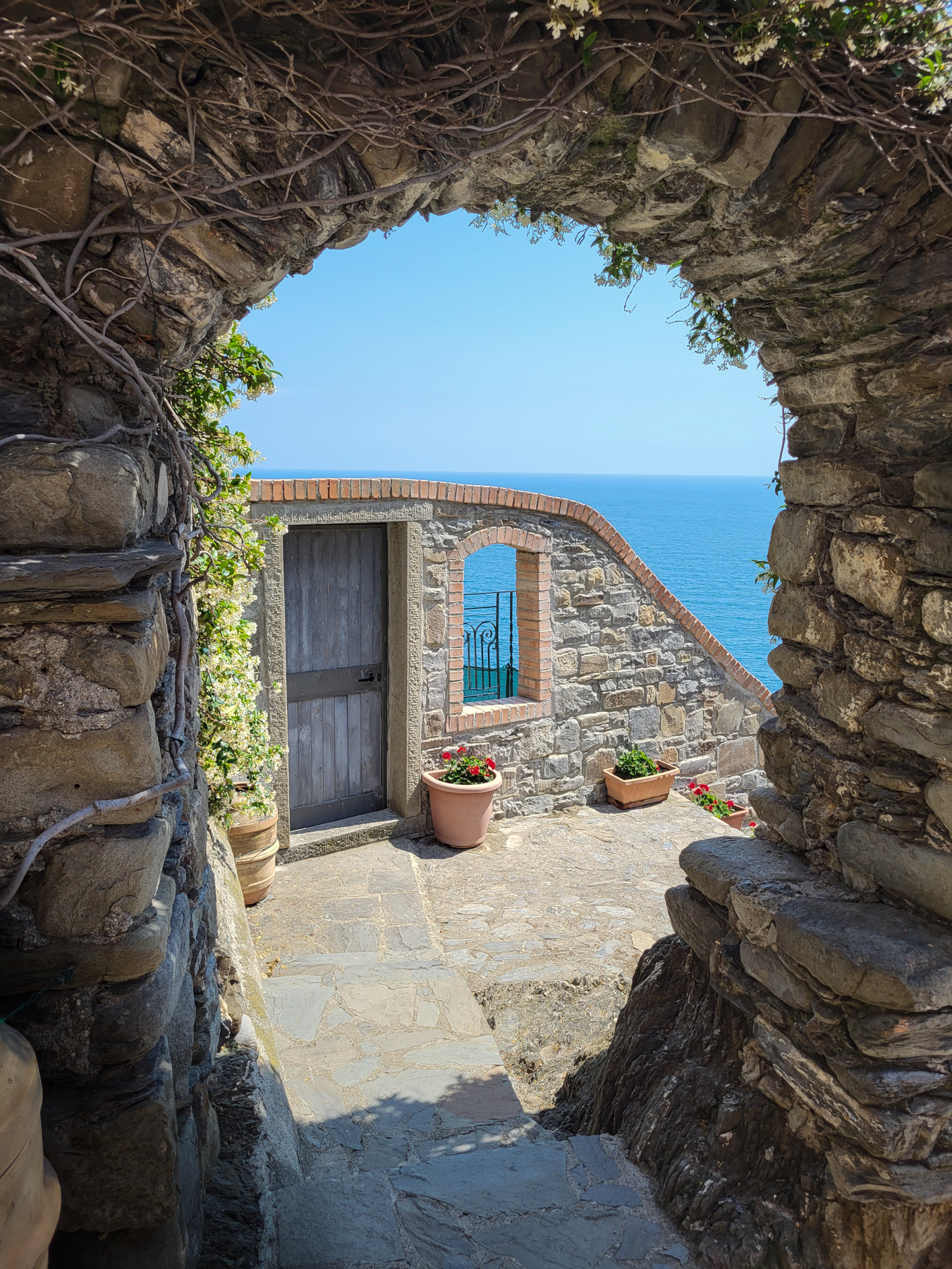
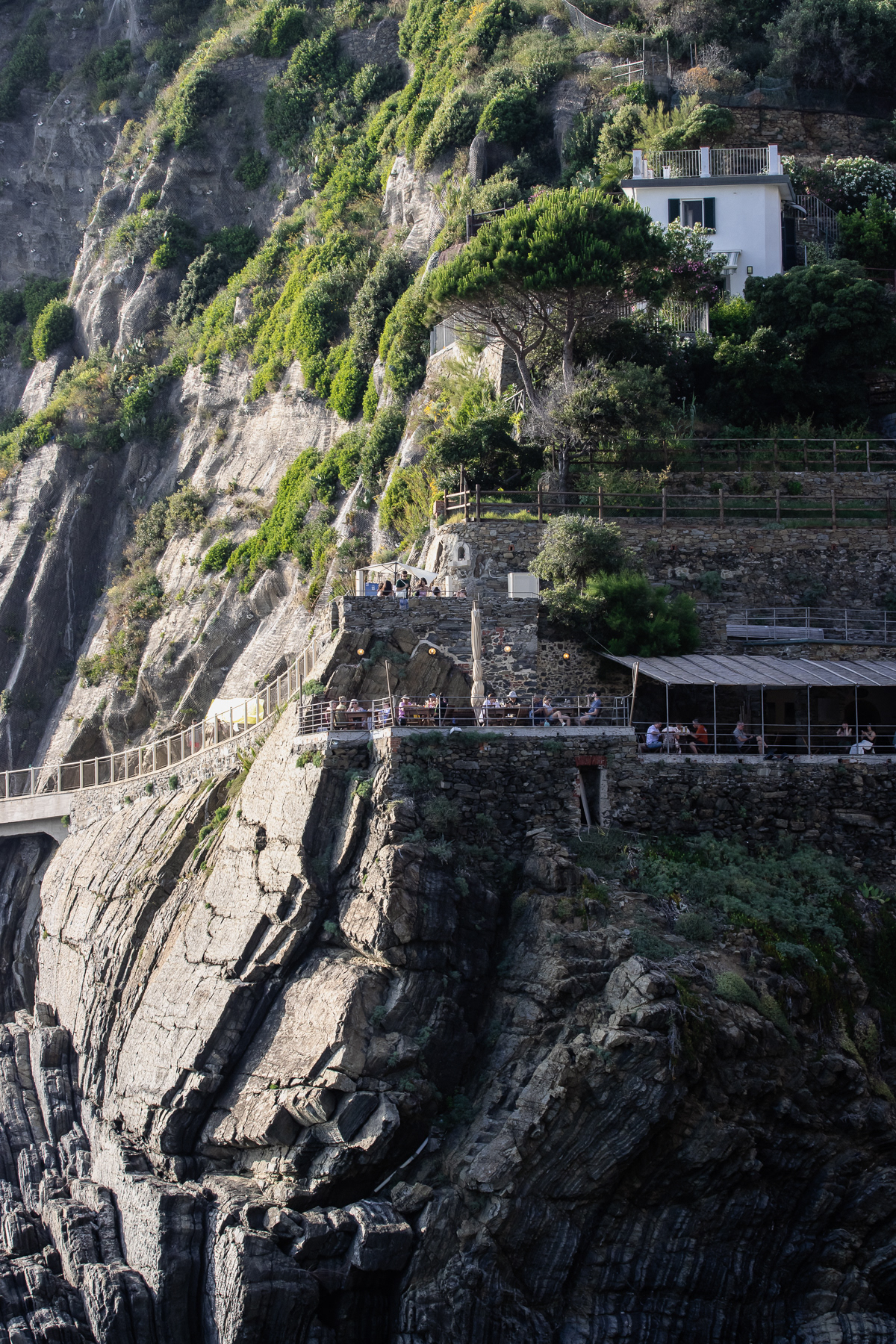
Terrace with a view at the southern end/beginning of the paid part of the Via dell'Amore.
The trail is marked, but one cannot get lost as there are no confusing side trails.
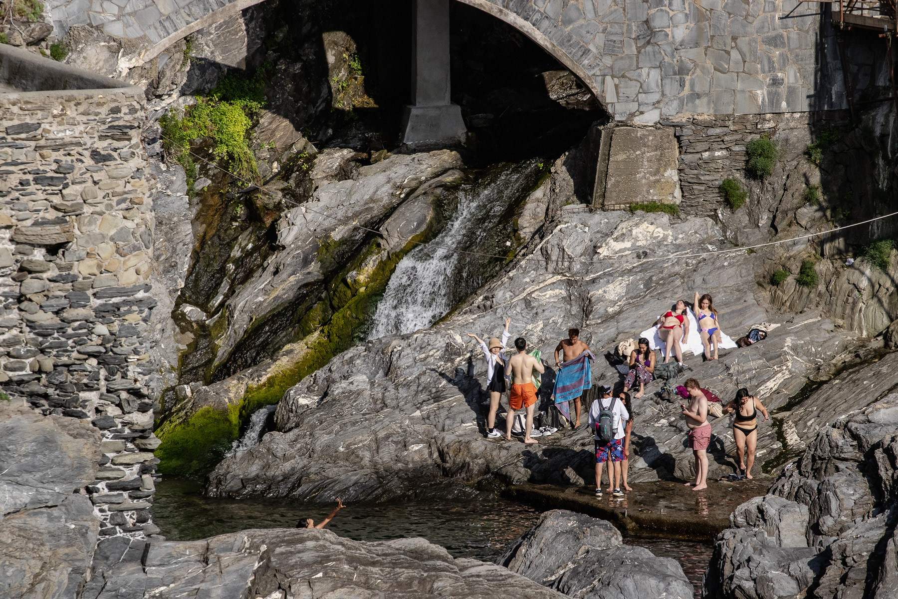
An old stone bridge on the outskirts of Riomaggiore leads up to the trail.
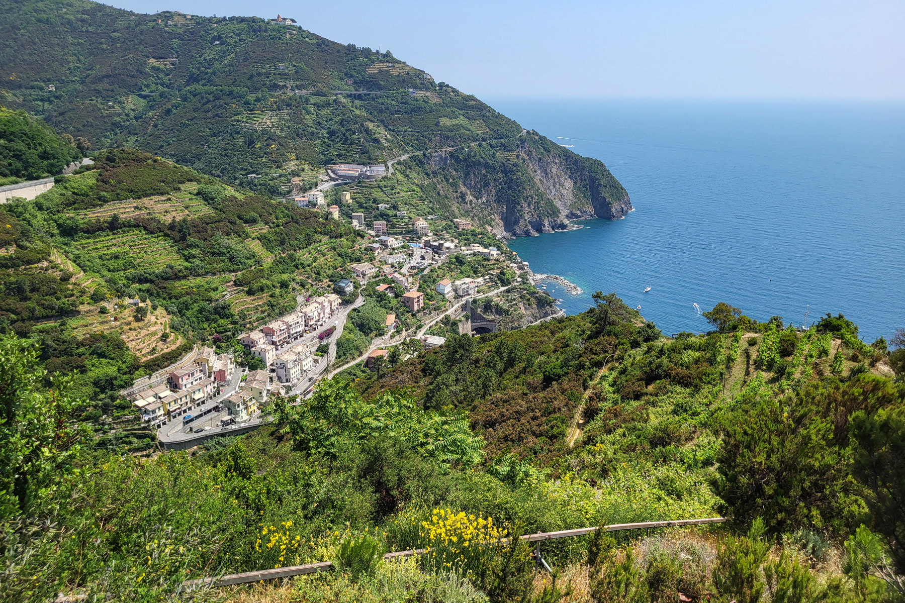
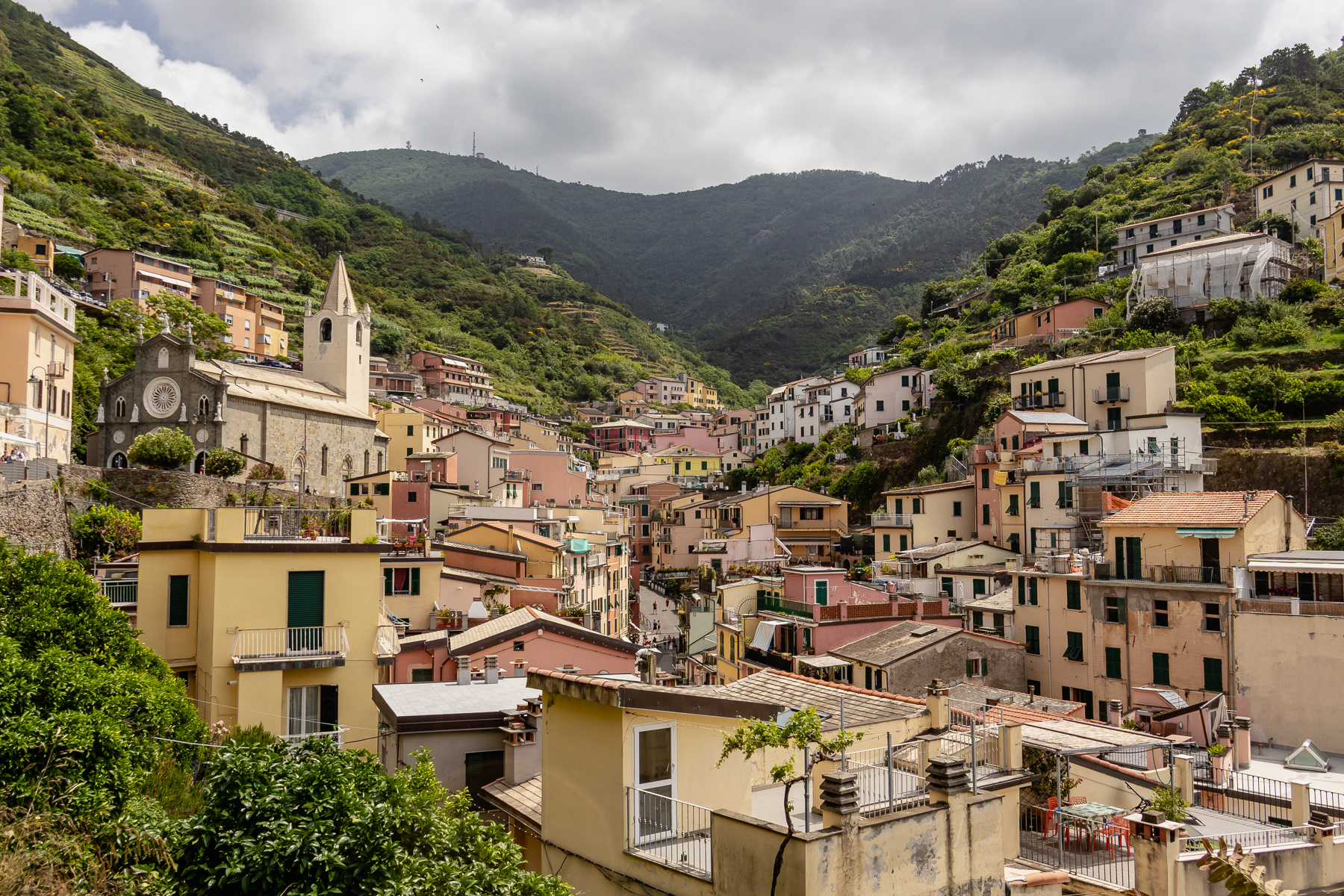
View at Riomaggiore higher up on the path.
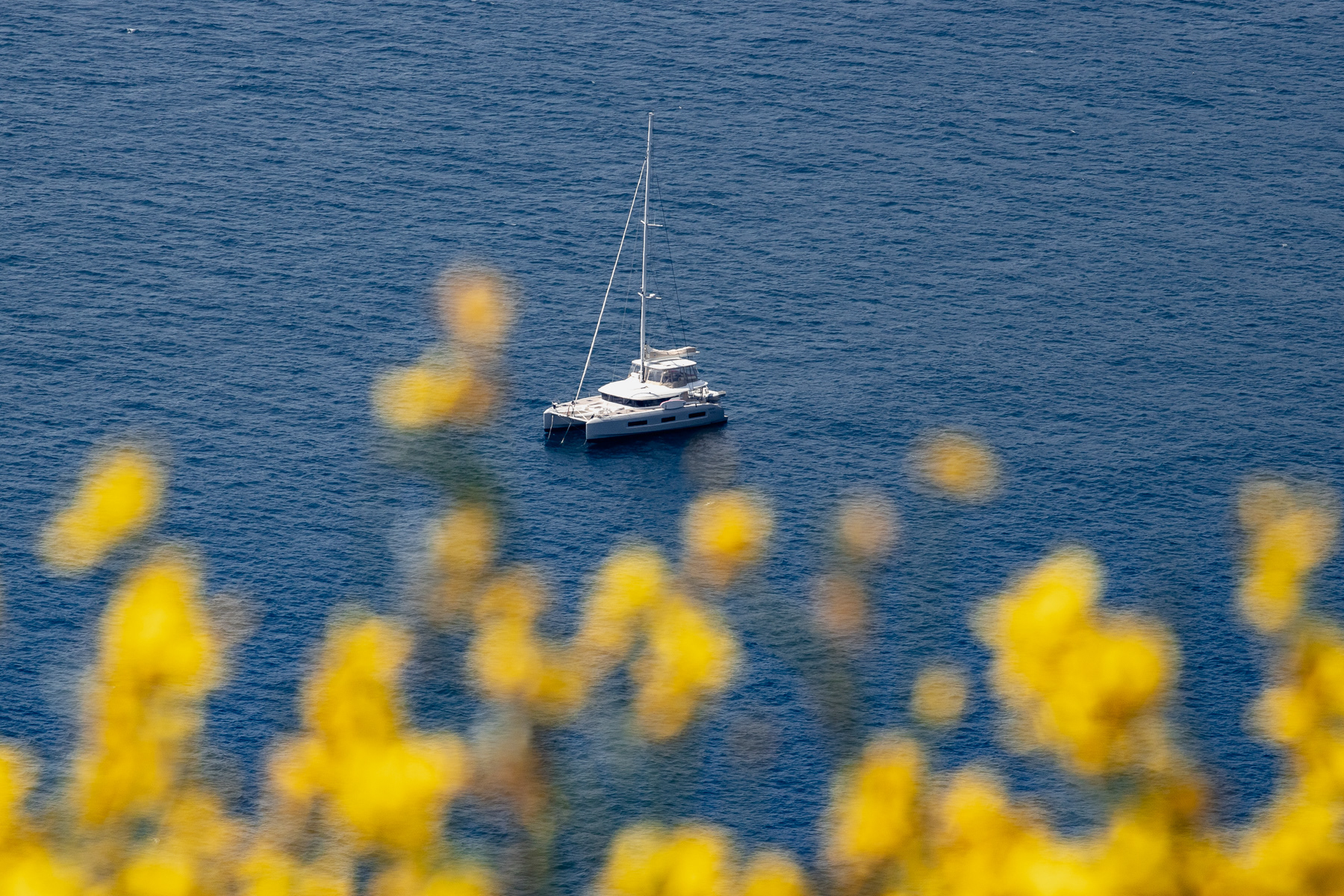
A sailing boat spotted from the "inland" route between Riomaggiore and Manarola.
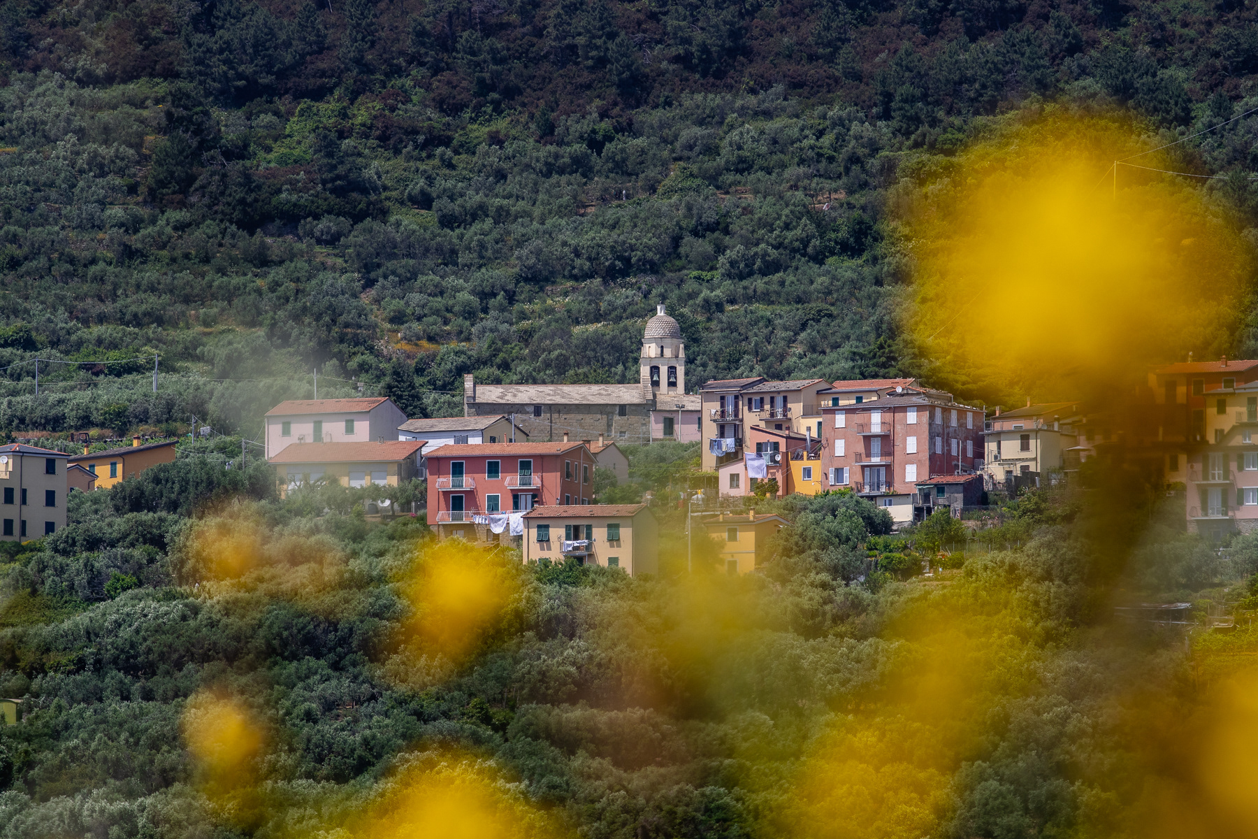
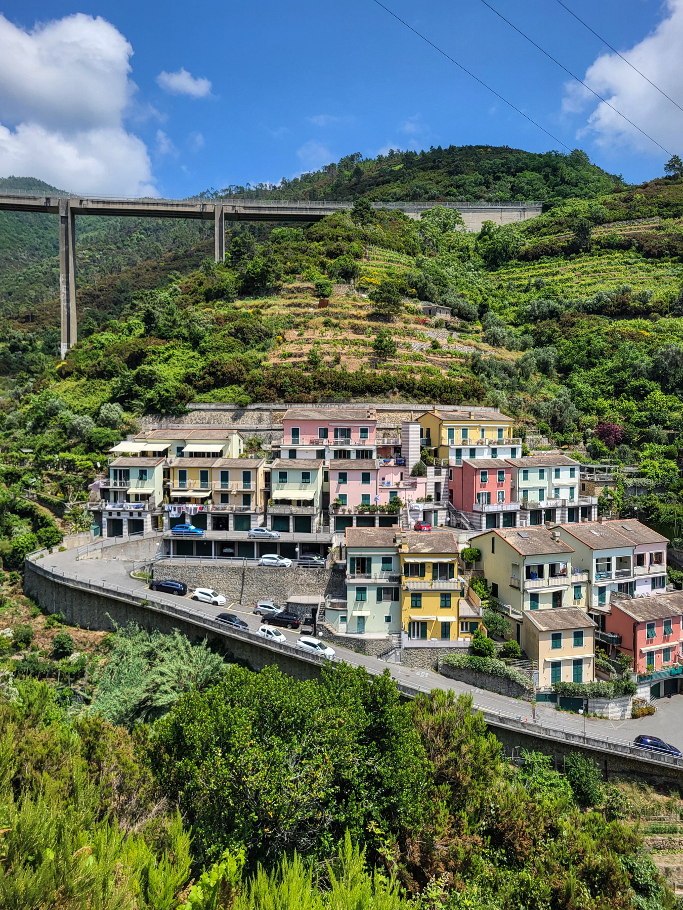
The settlement of Volastra seen from the trail.
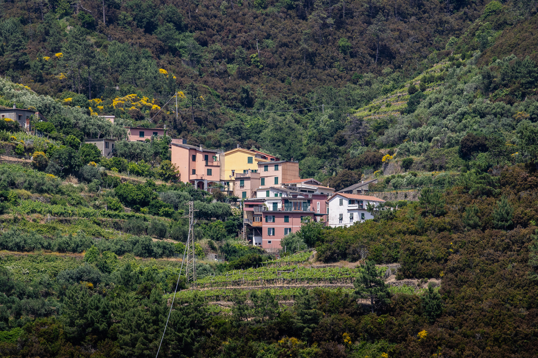
Houses in Groppo seen from the trail.
View at the outskirts of Manarola.
The harbour front of Riomaggiore.
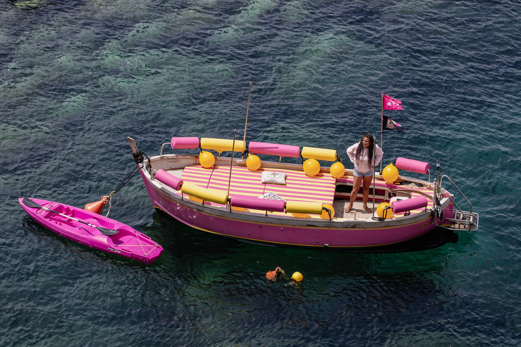
A yellow and pink tourist boat waiting in the harbour of Riomaggiore.
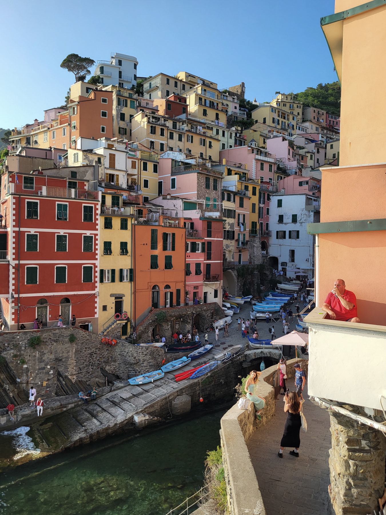
Scenes in the harbour of Riomaggiore.
The outskirts of Riomaggiore.
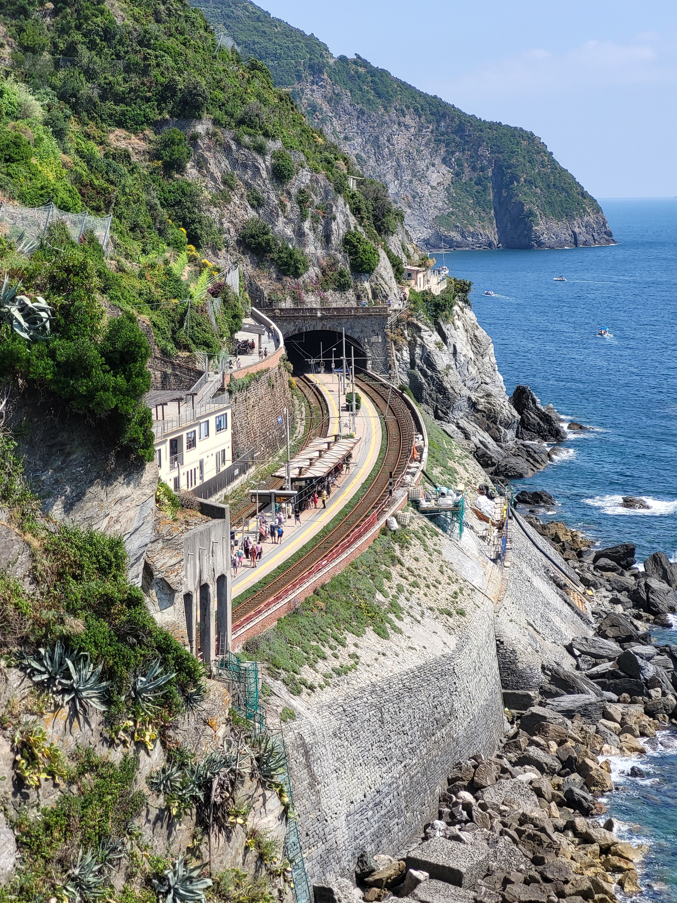
The railway station of Riomaggiore.
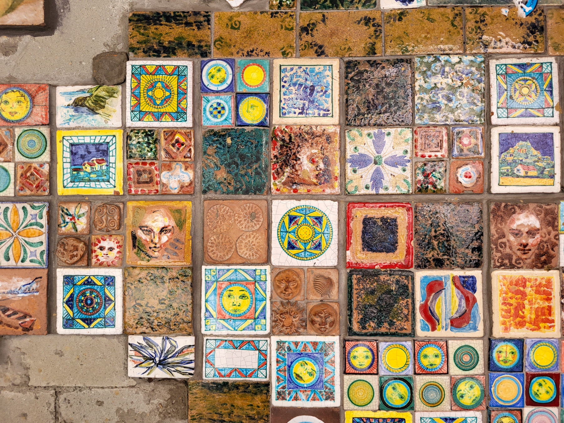
A wall of colourful tiles marks the border of the lower village and the higher village of Riomaggiore.
Sidestreets further up the hill.
A lot of steps to take.
Sidestreet in Riomaggiore.
The high part of Riomaggiore.