
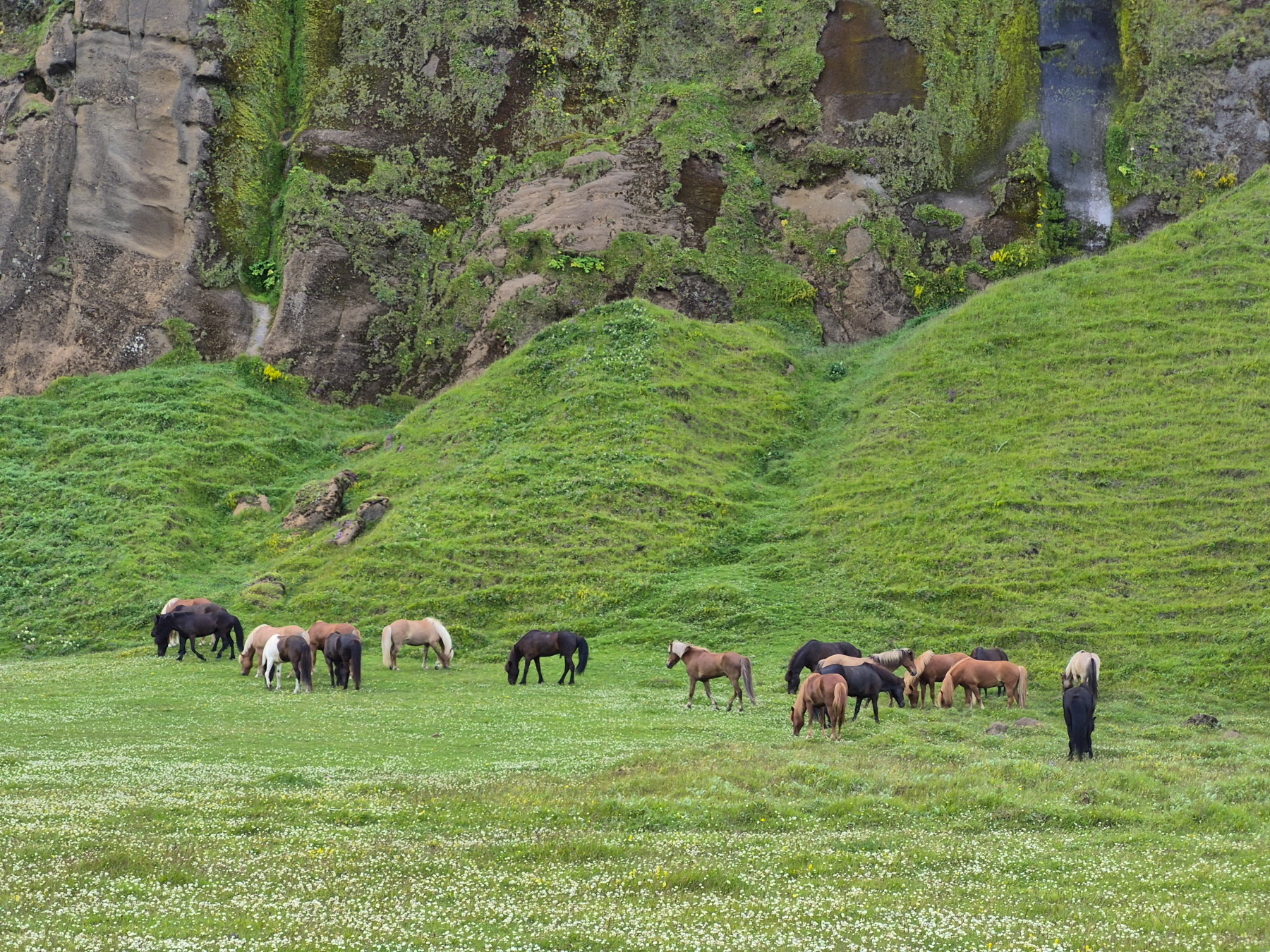
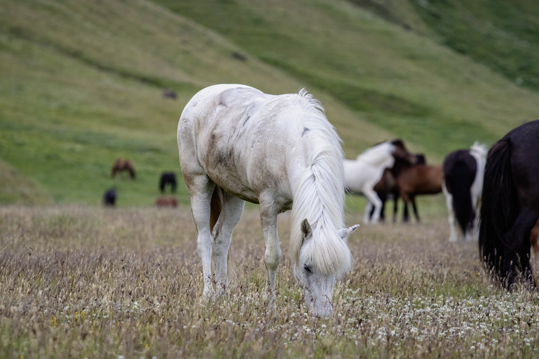
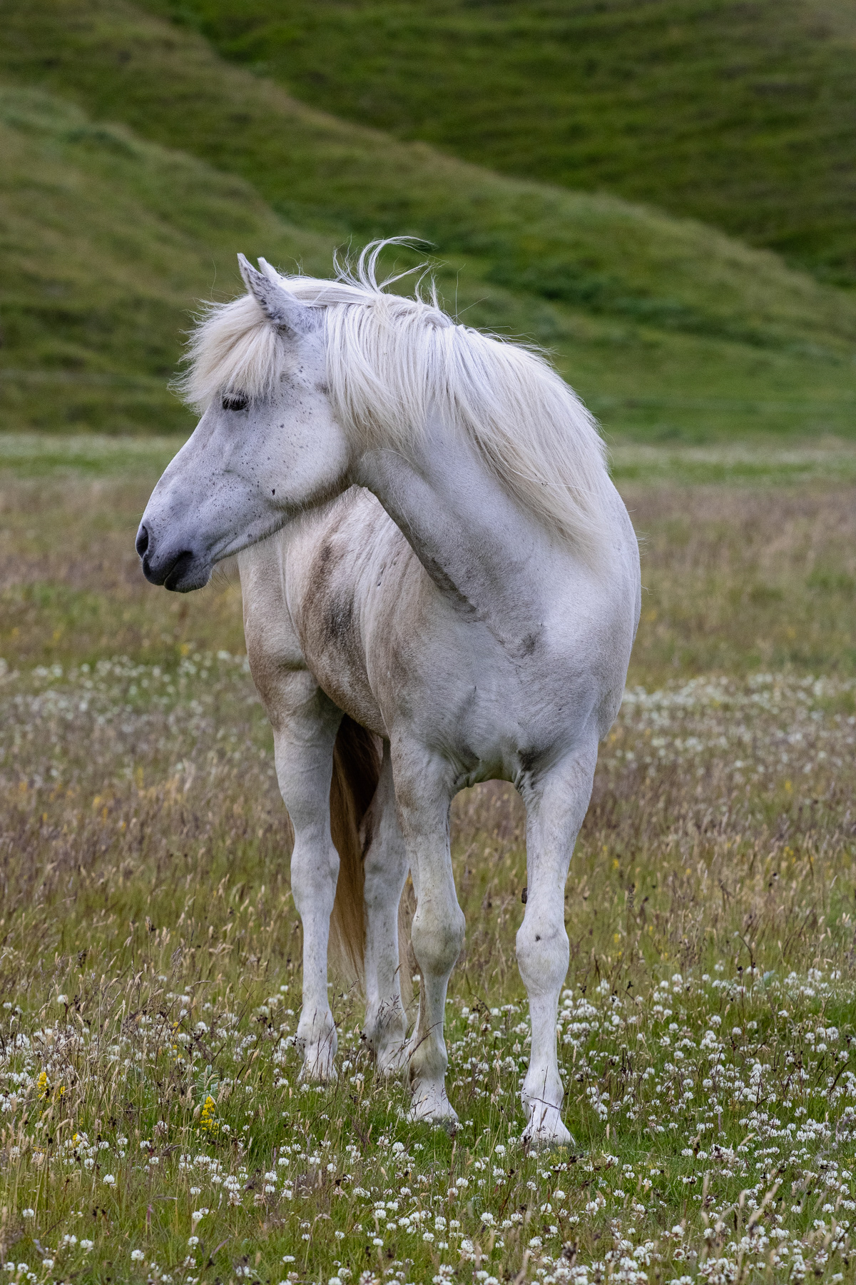
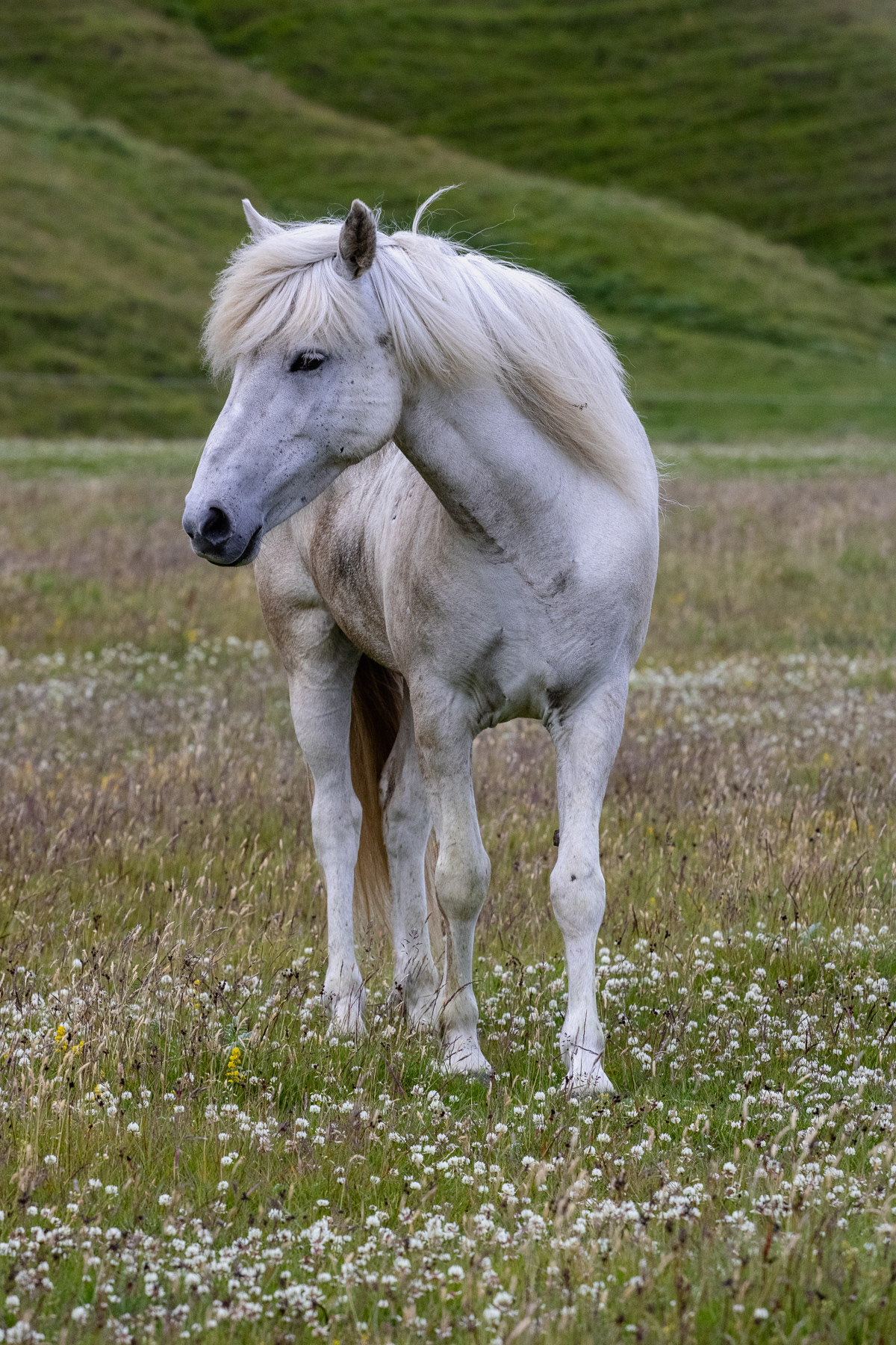
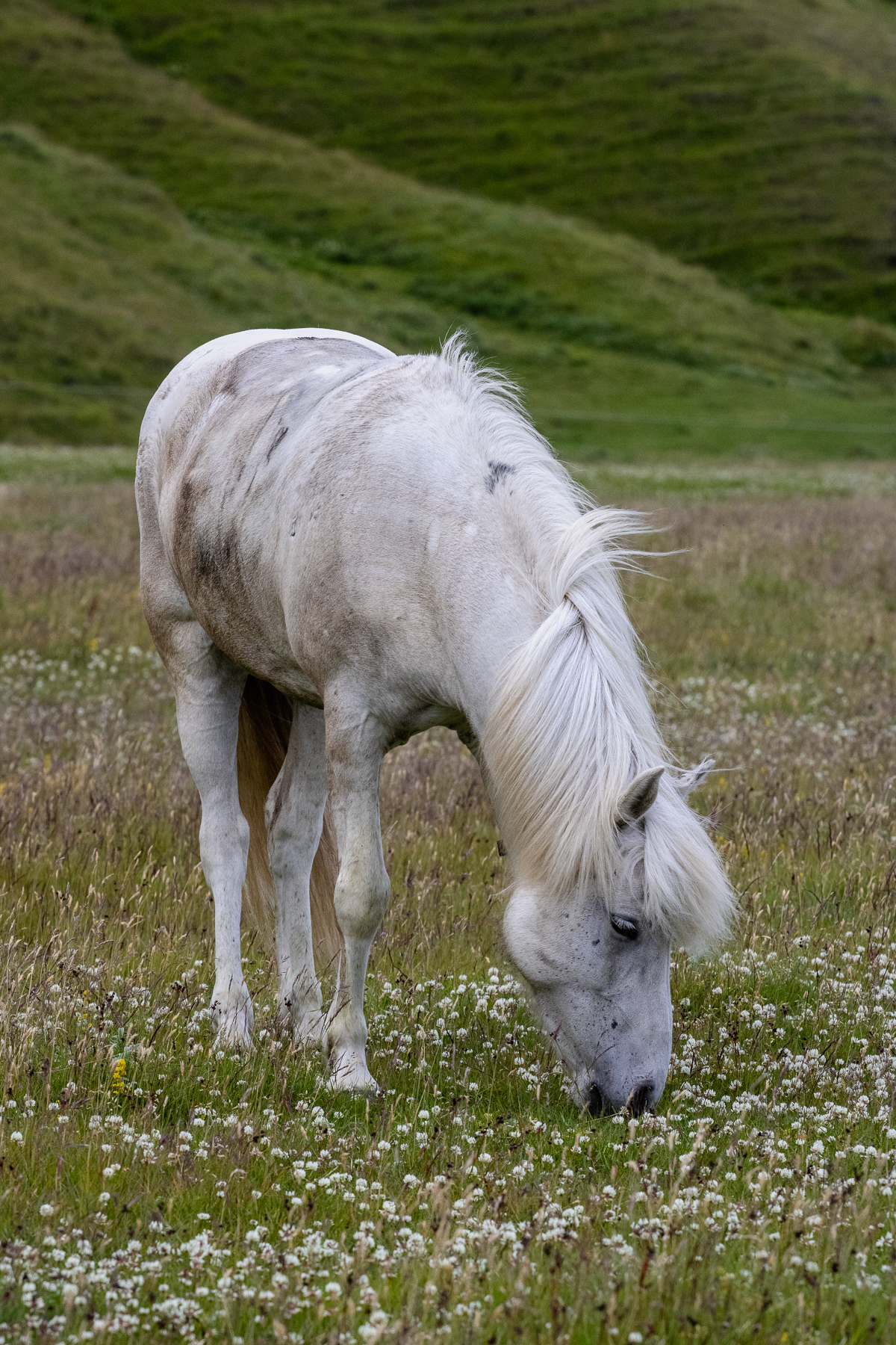
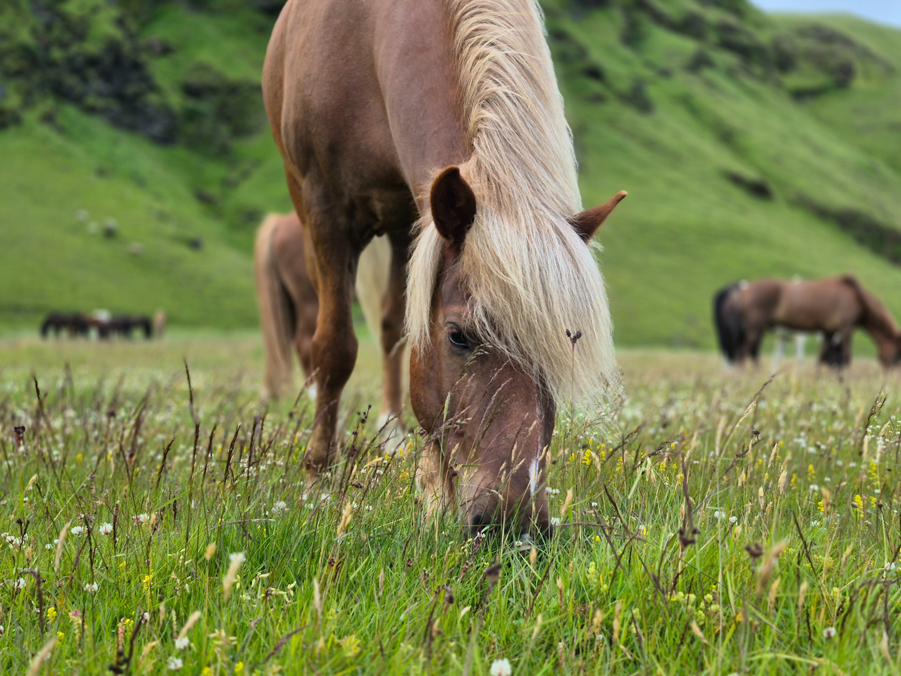
Icelandic horses in Mýrdal, Iceland, July 2025.
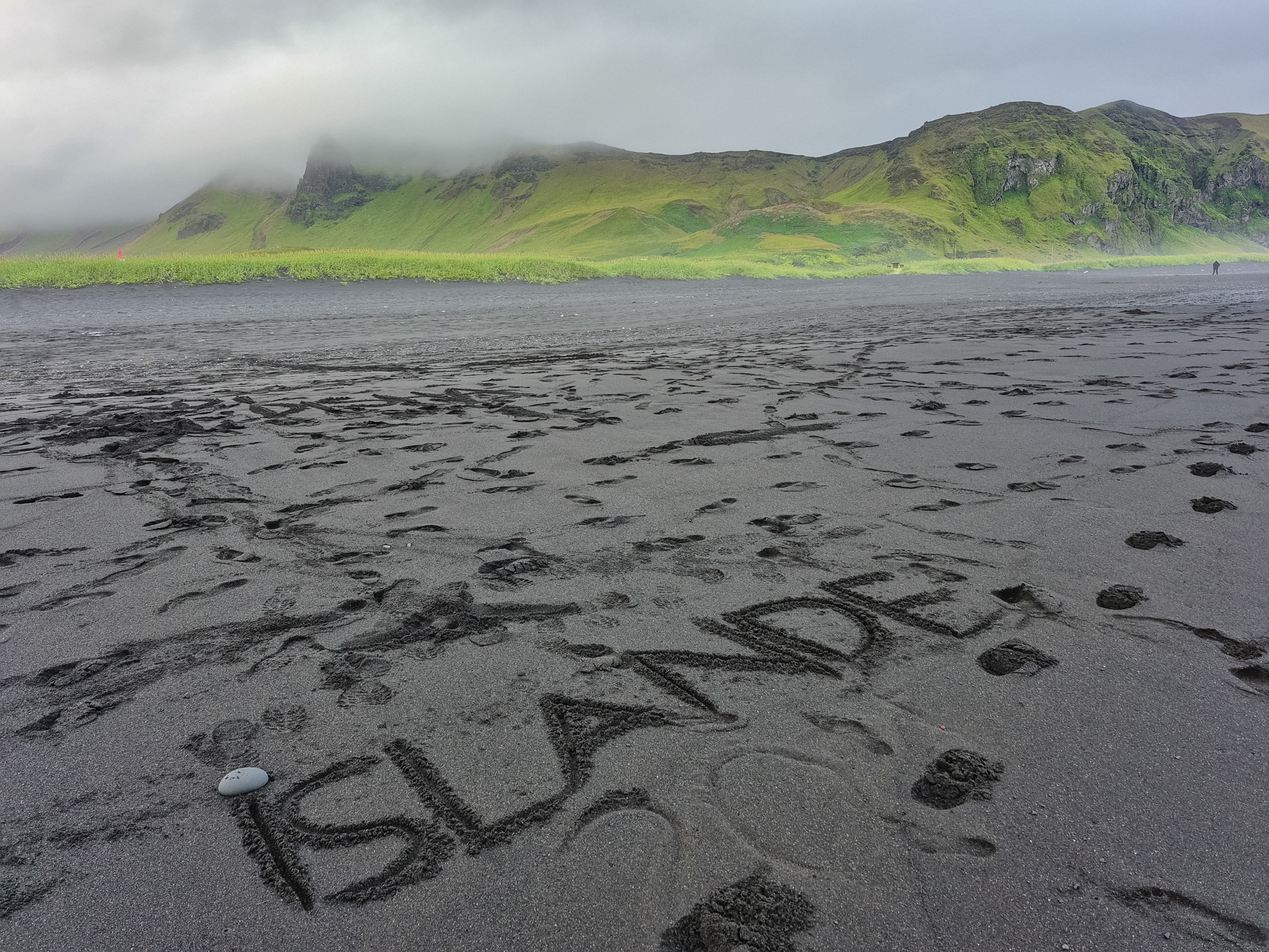
Islande "carved" into the sand of Víkurfjara Black Sand Beach in Vik, Iceland, July 2025.
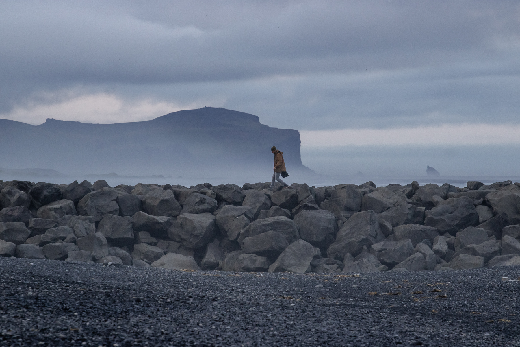
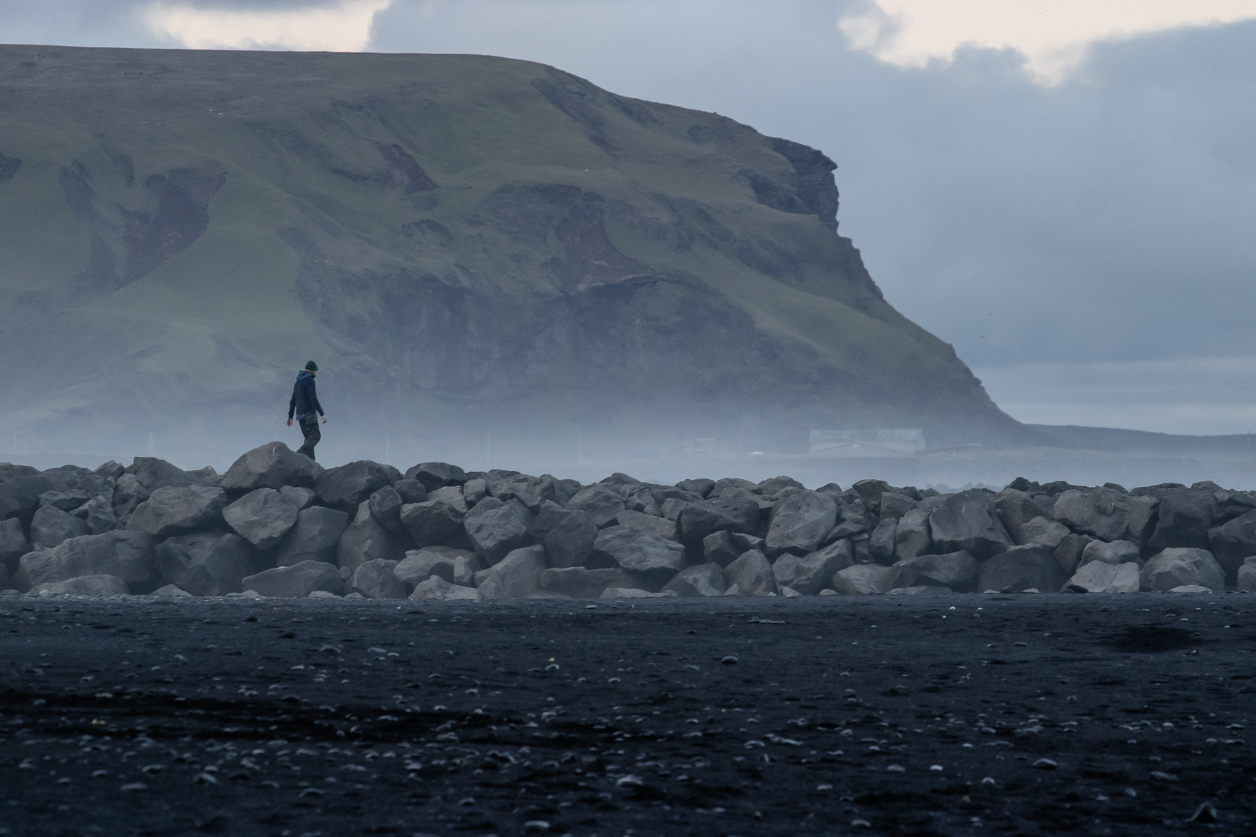
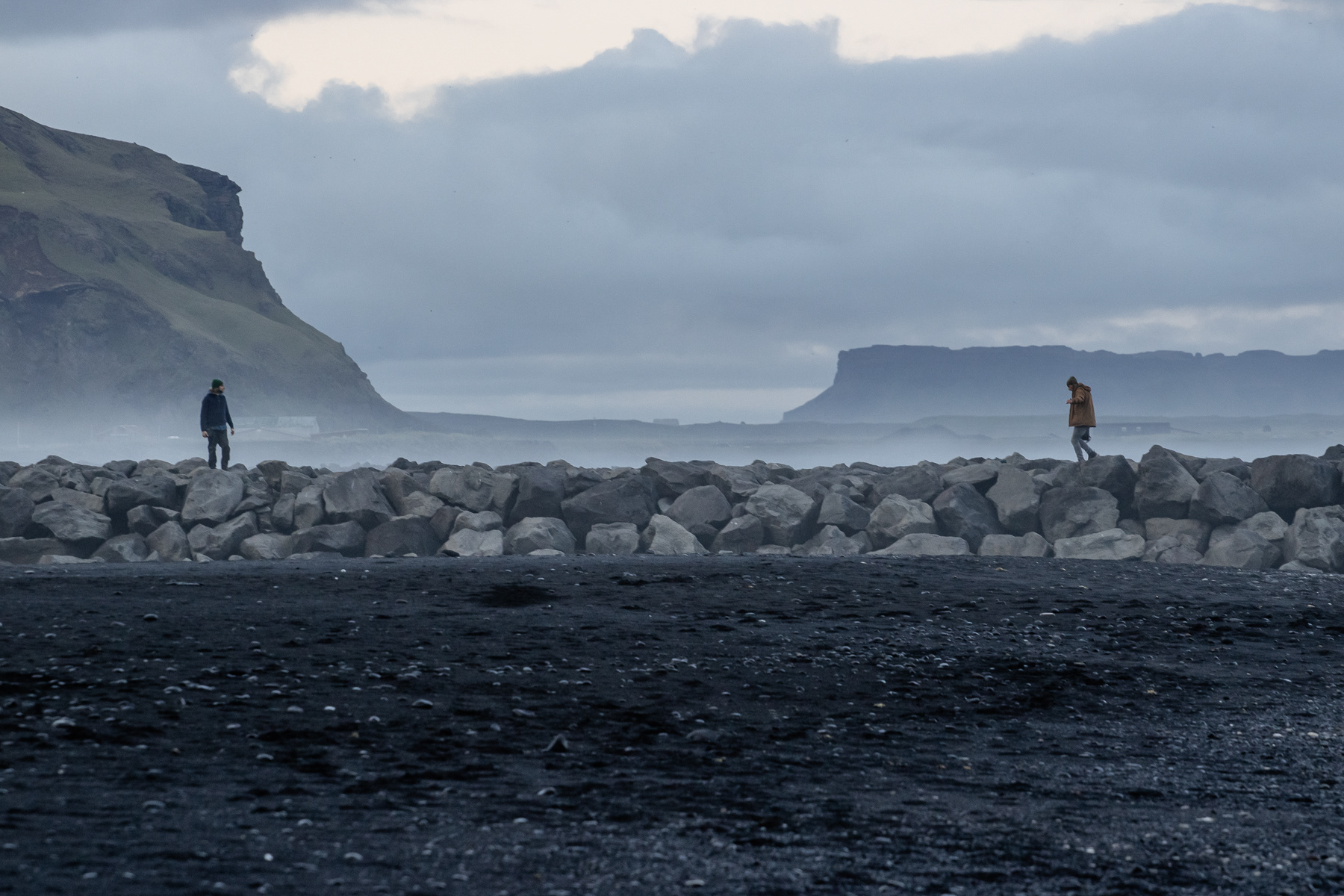
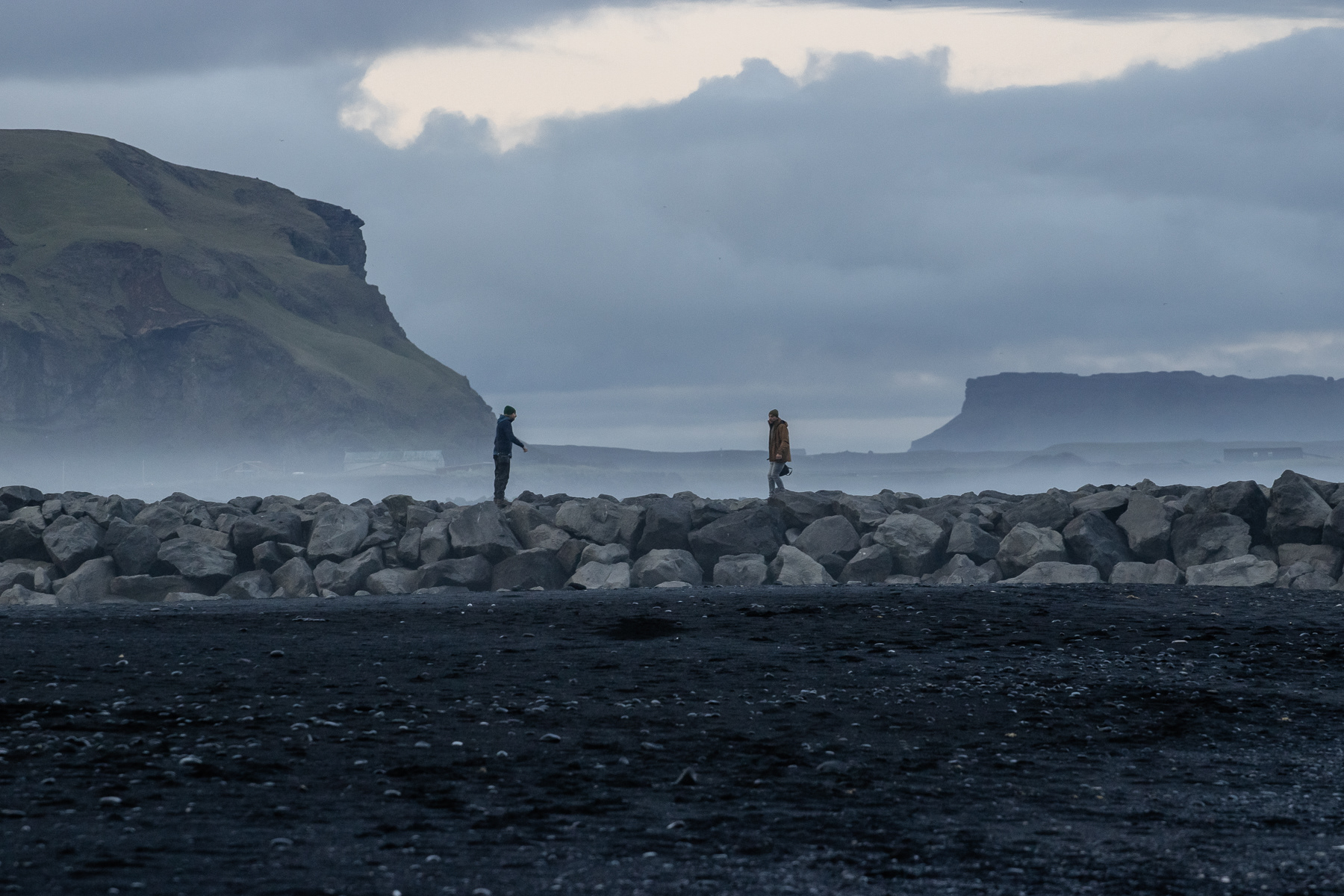
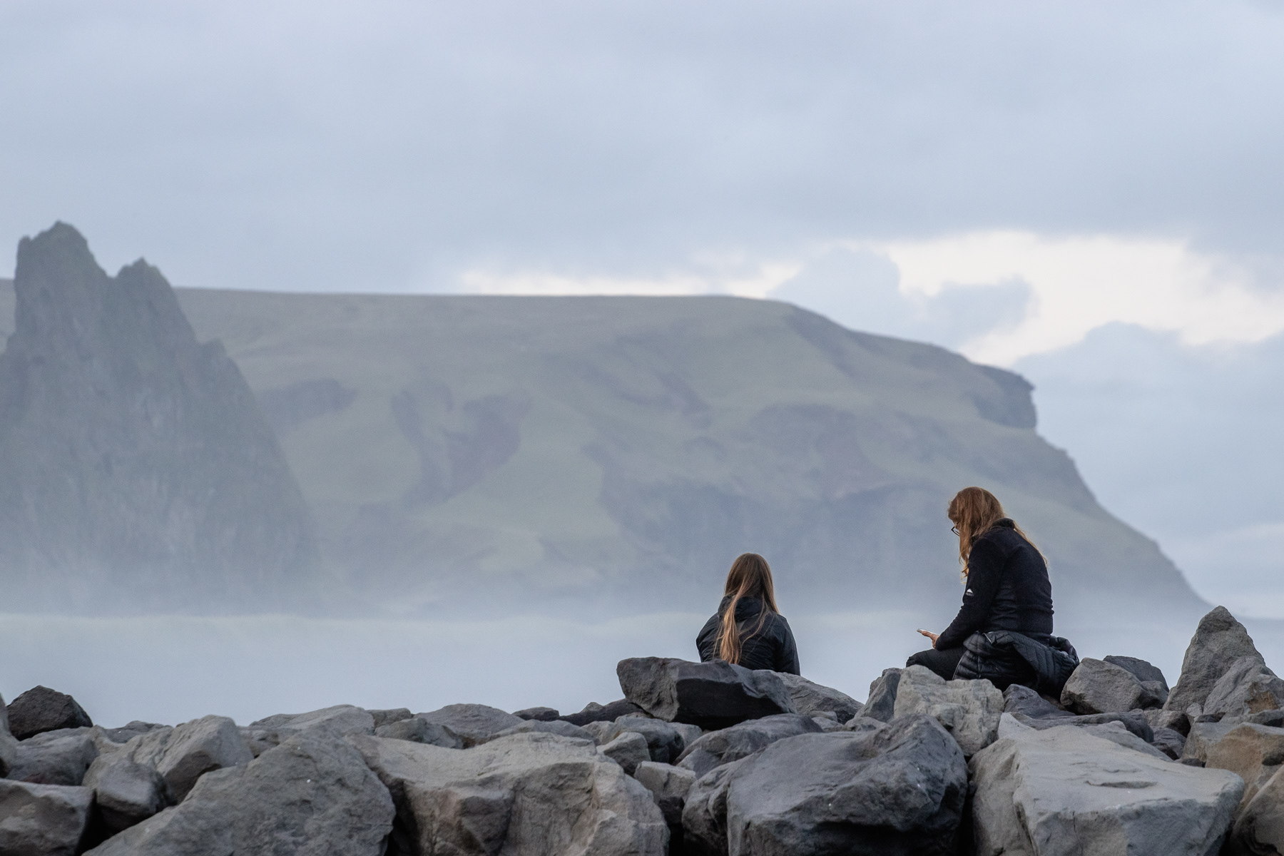
People at a stone pier on Víkurfjara Black Sand Beach in Vik.
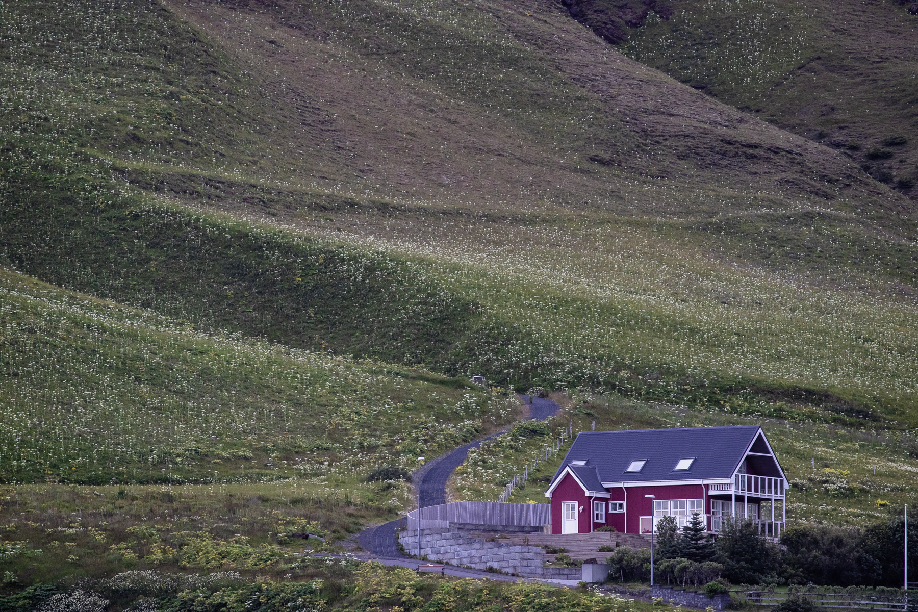
A home on the outskirts of Vik.
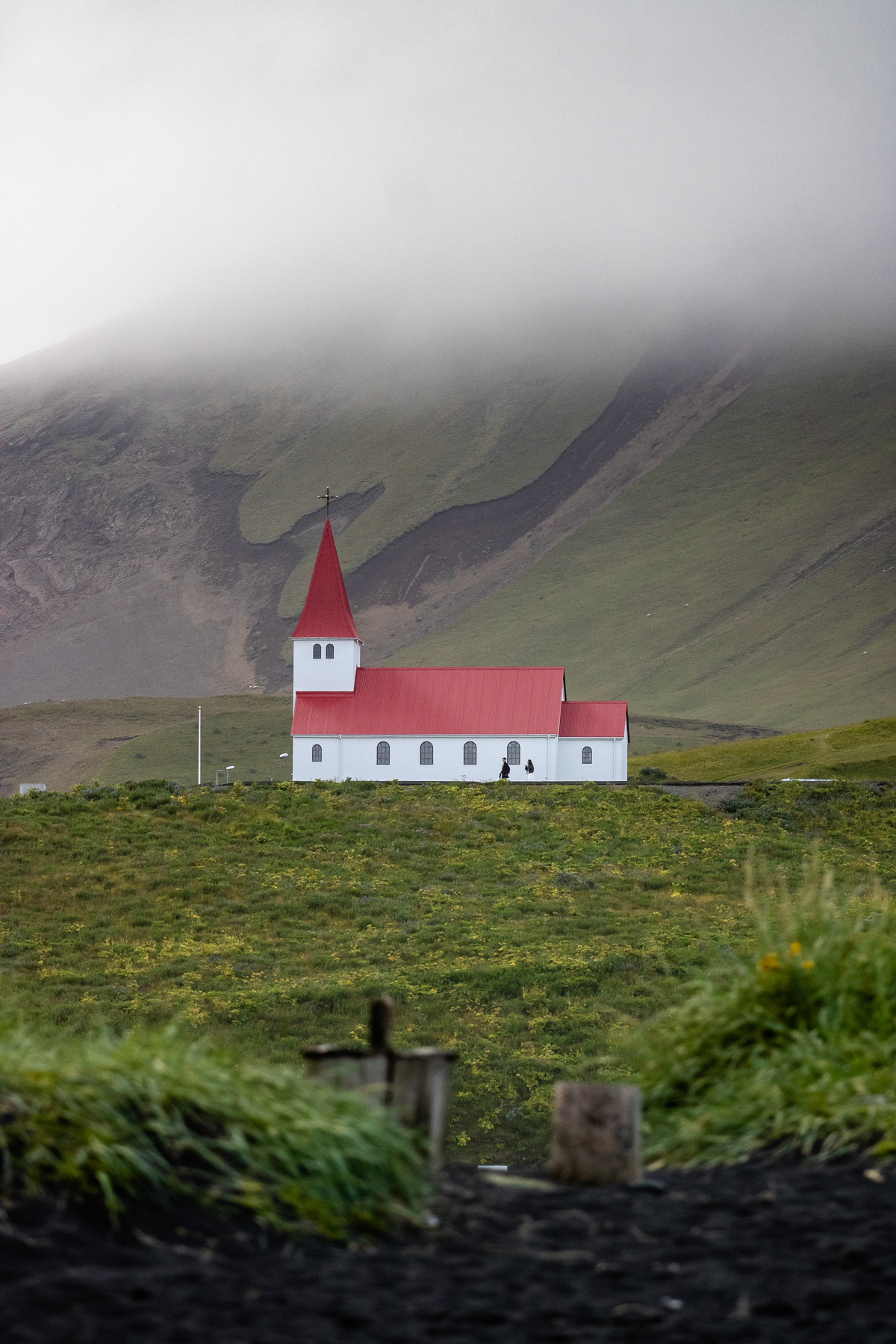
Vik's church on the hill overlooking the town.
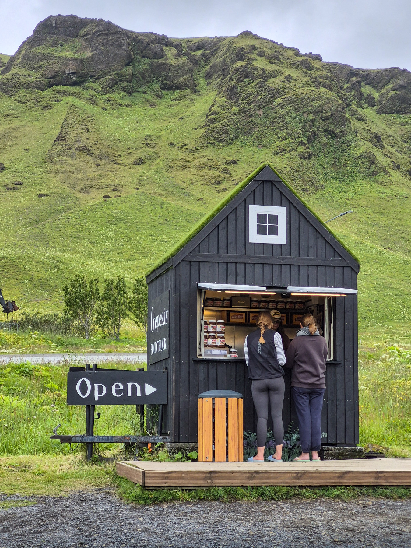
A local famous crepes with hazelnut cream kiosk in Vik.
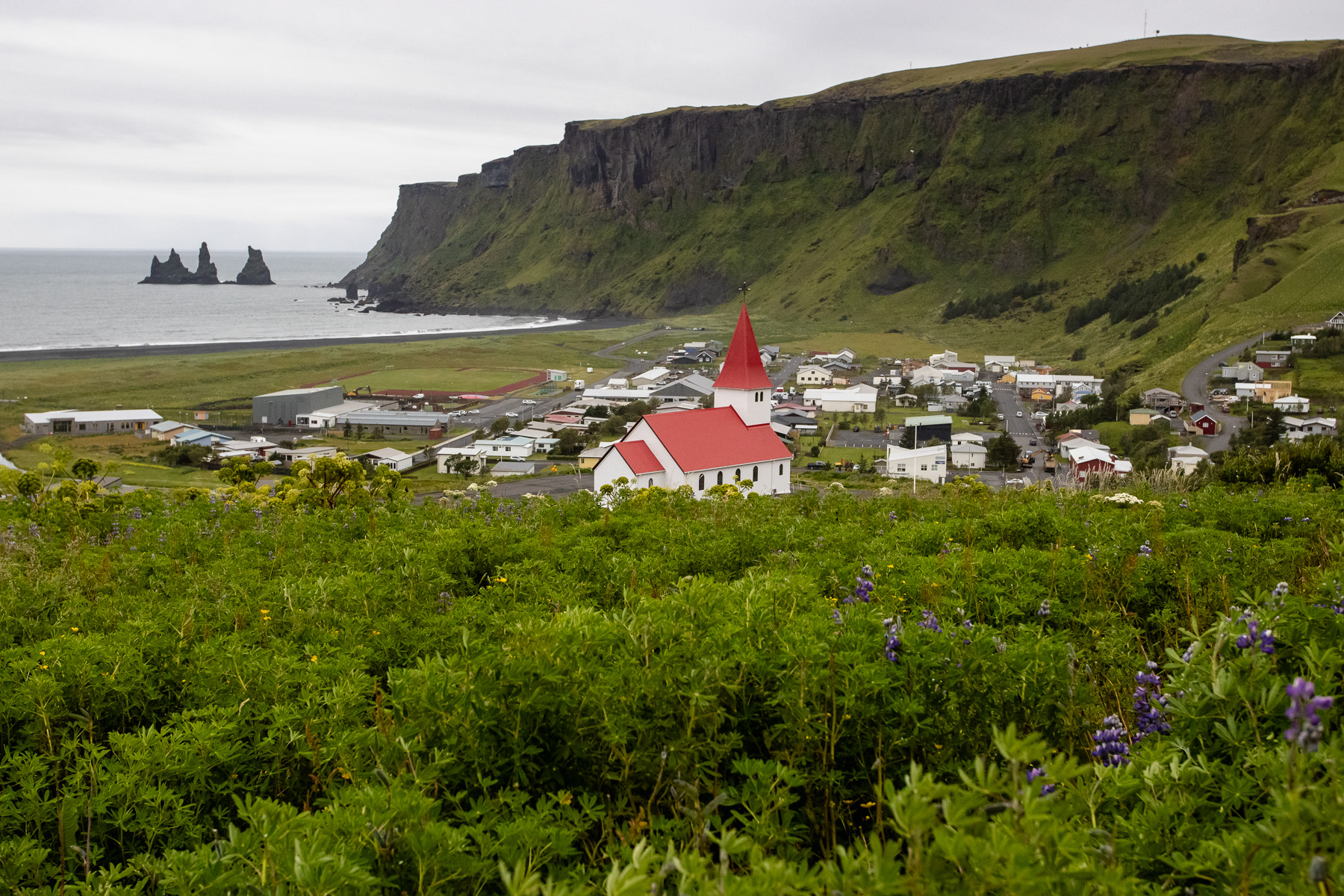
Vik's church on the hill overlooking the town.
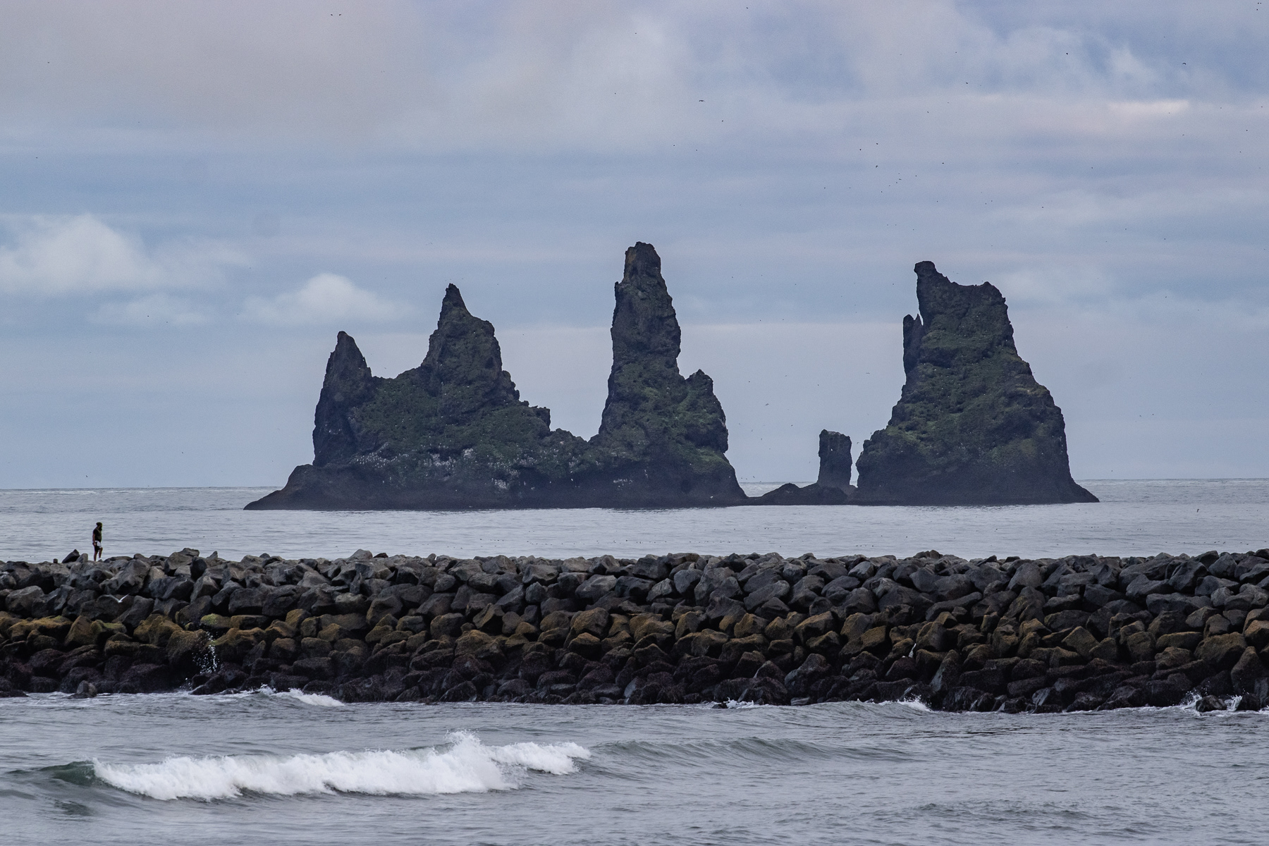
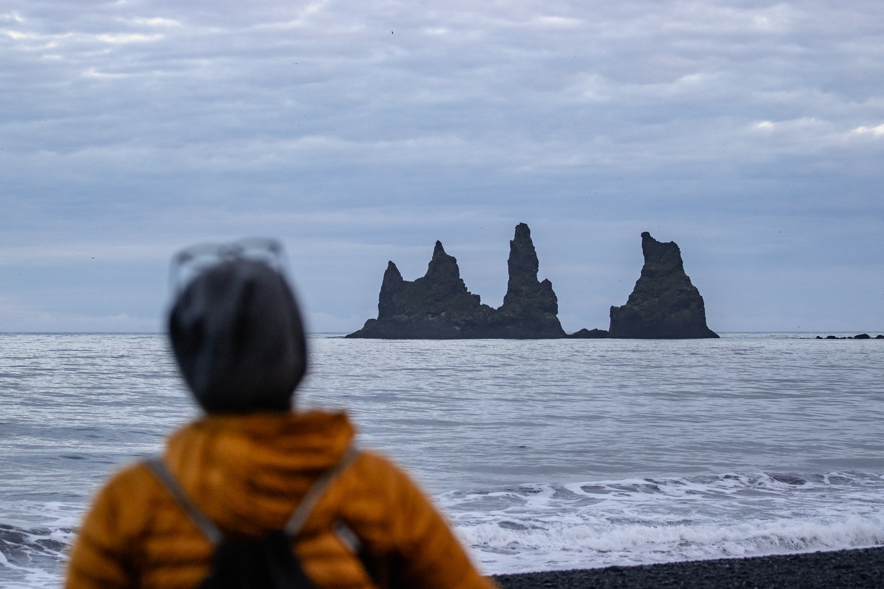
The famous pointy Reynisdrangar rocks of the Reyjnisfara Black Sand Beach
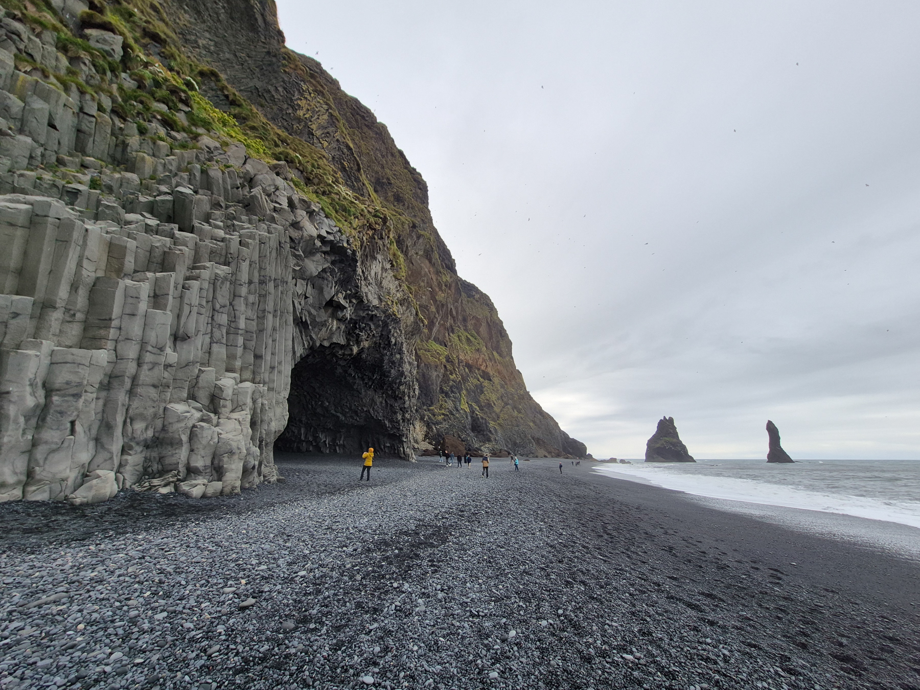
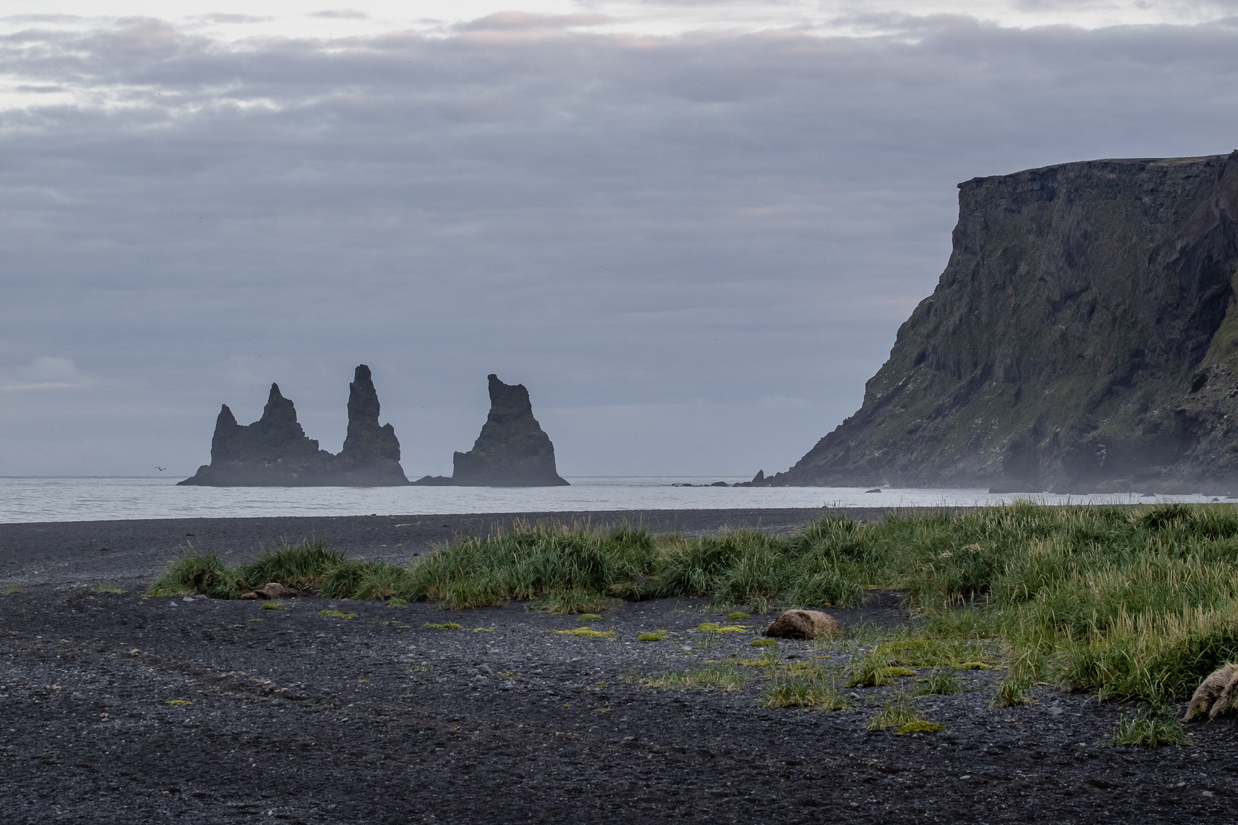
Reynisfara Black Beach with the famous Reynisdrangar rocks out at sea, the basalt stone columns, and the Hálsanefshellir Cave.
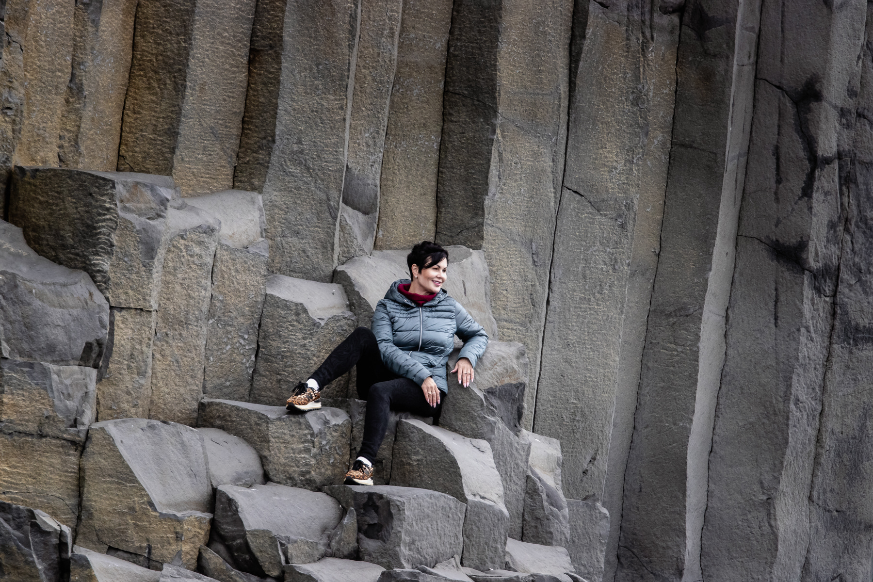
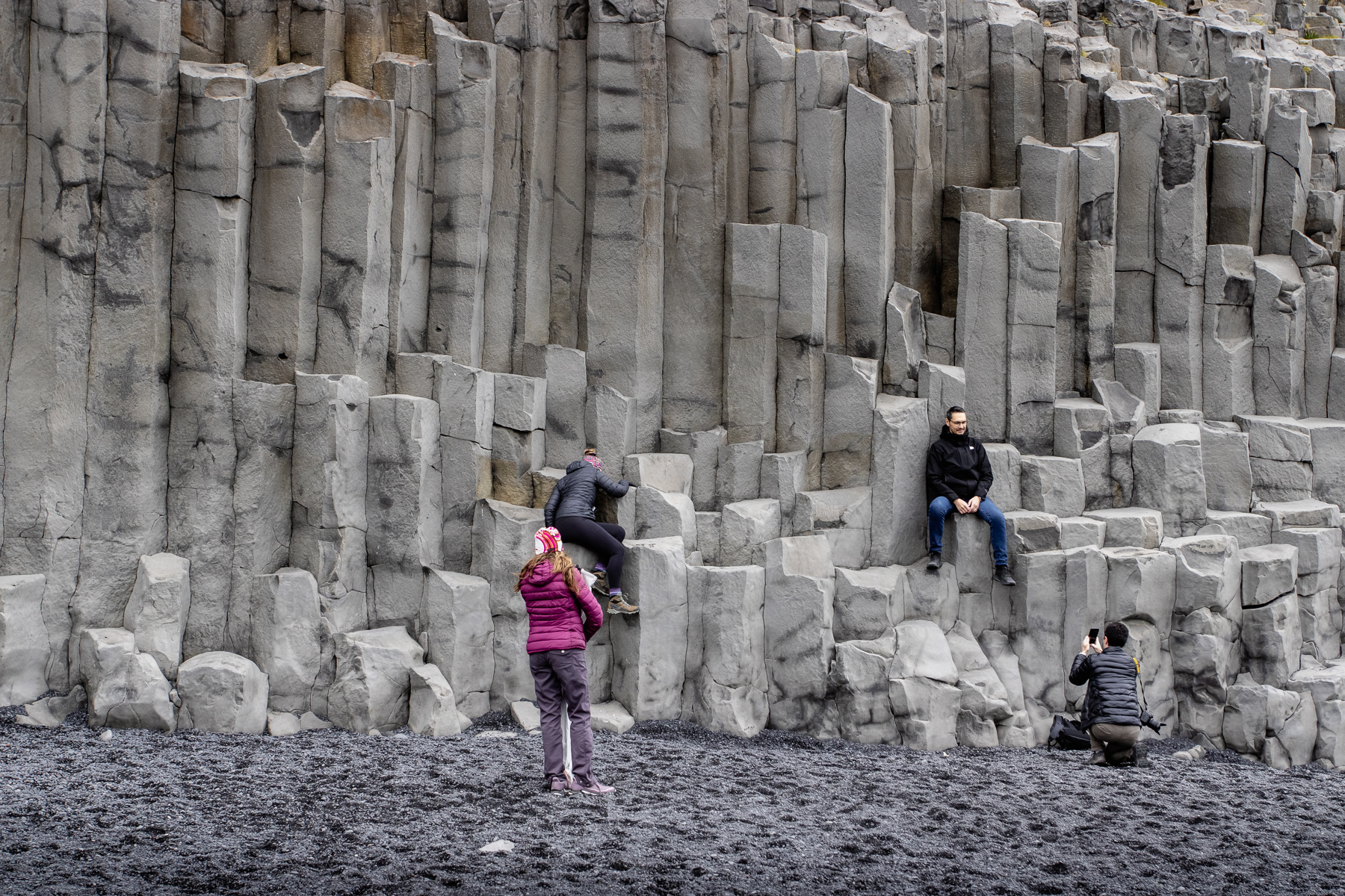
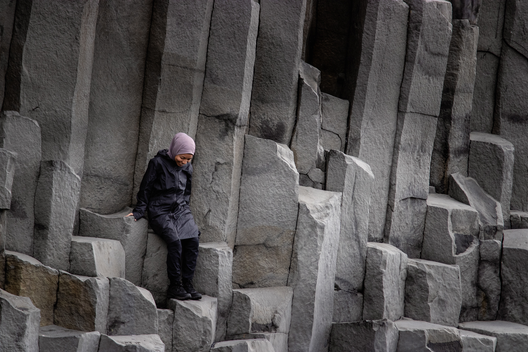
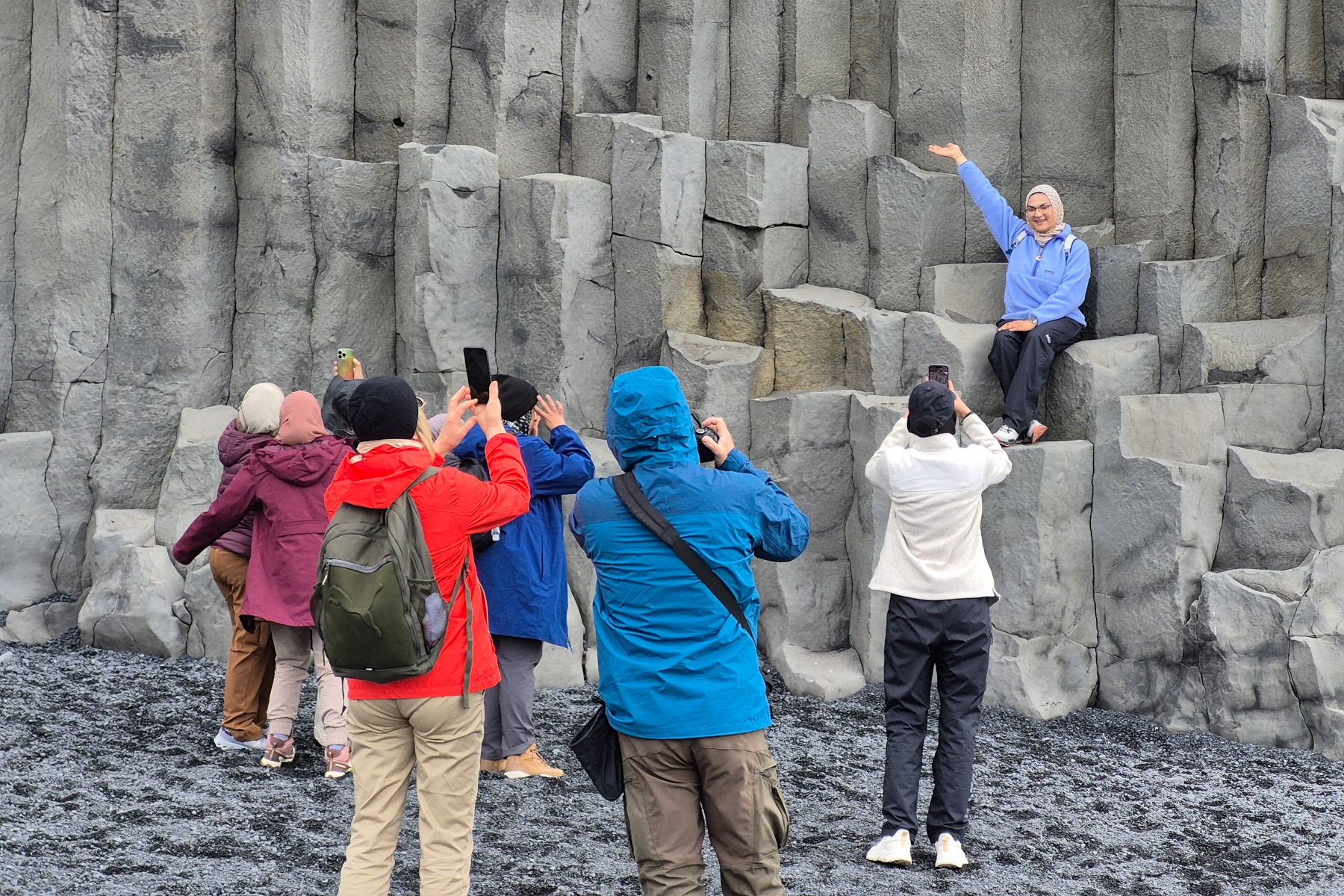
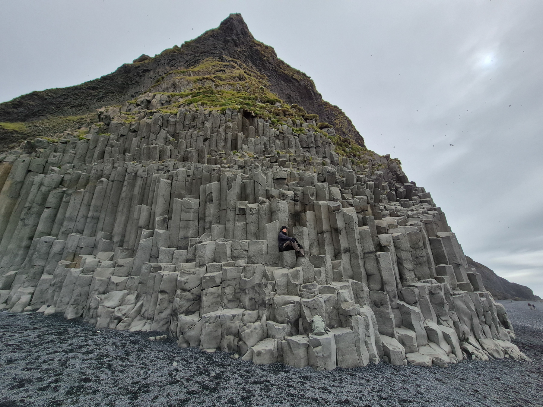
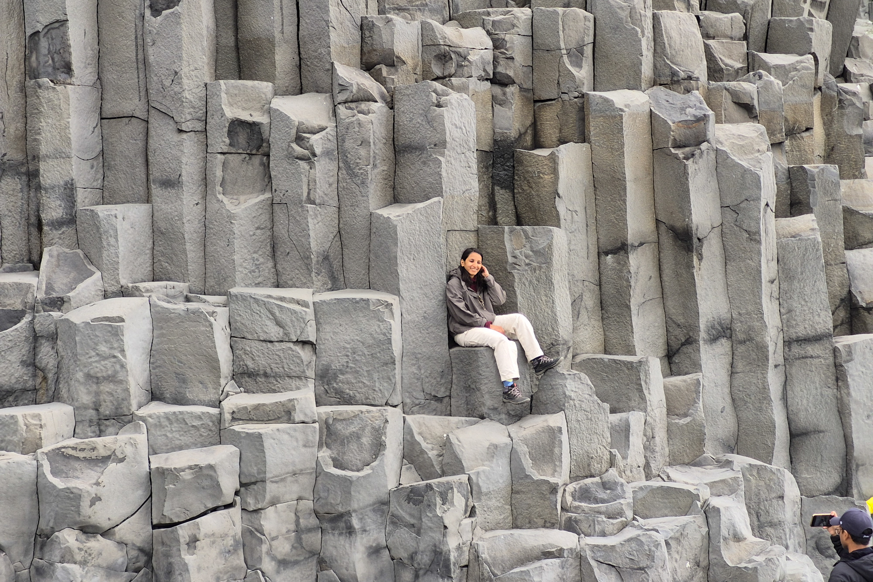
The basalt rocks of Reynisfara Black Sand Beach make a great photo opportunity.
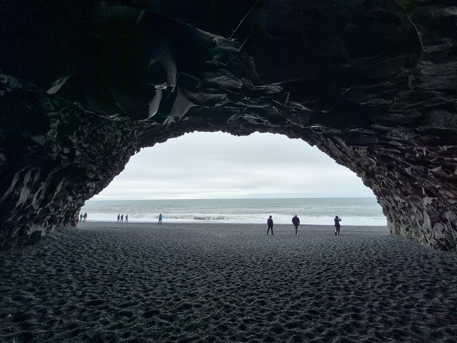
Inside the Hálsanefshellir Cave of Reynisfara Black Sand Beach.
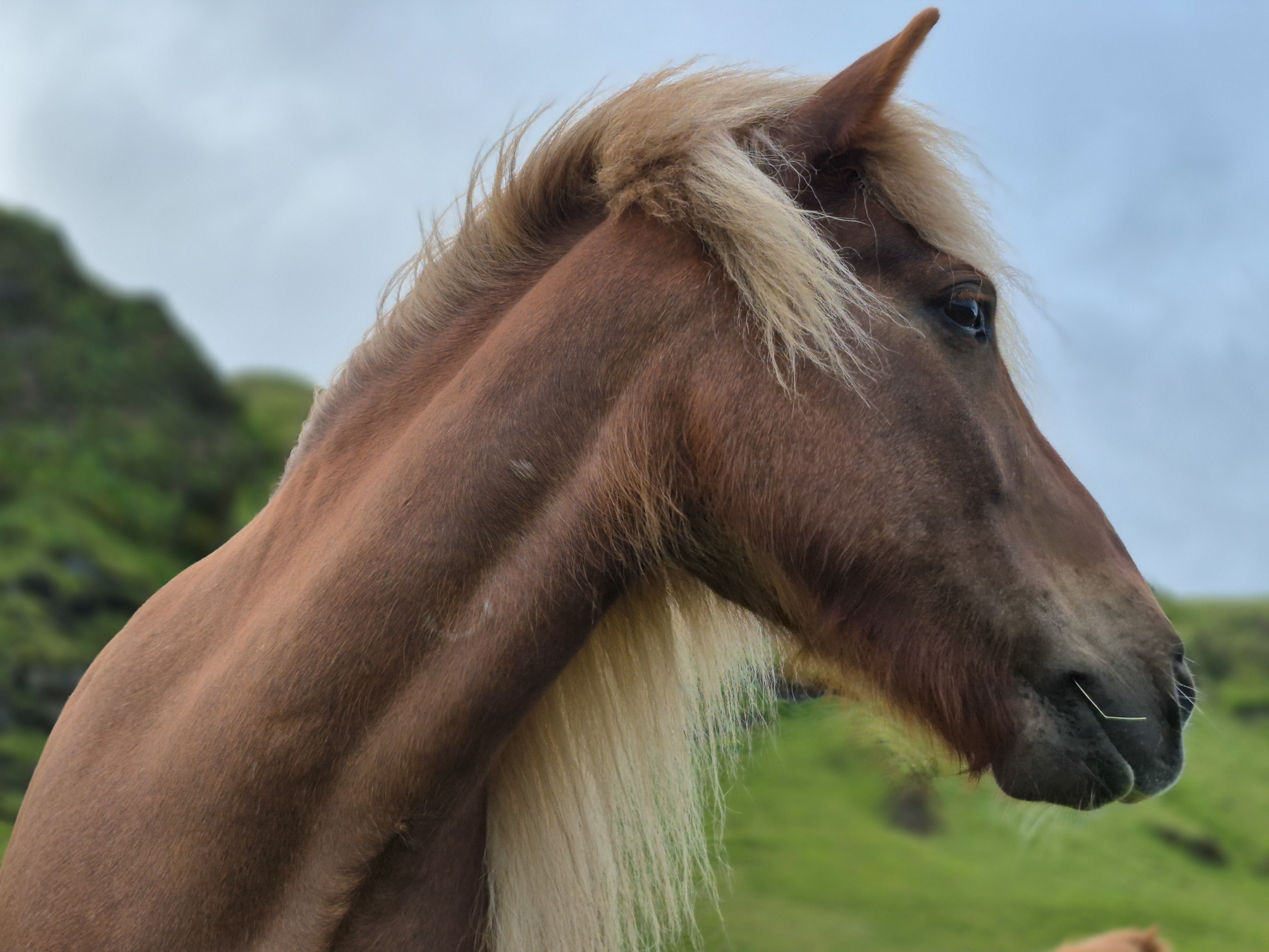
Icelandic horses in Mýrdal
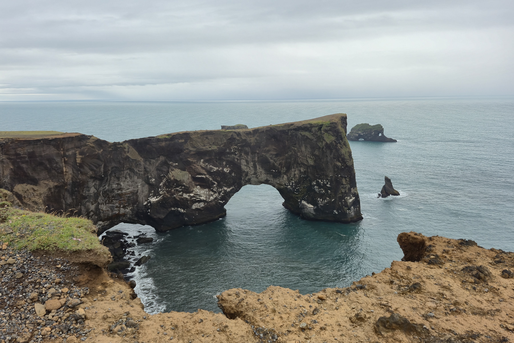
The Dyrhólaey arch rock cape, Iceland's geographically southernmost point.
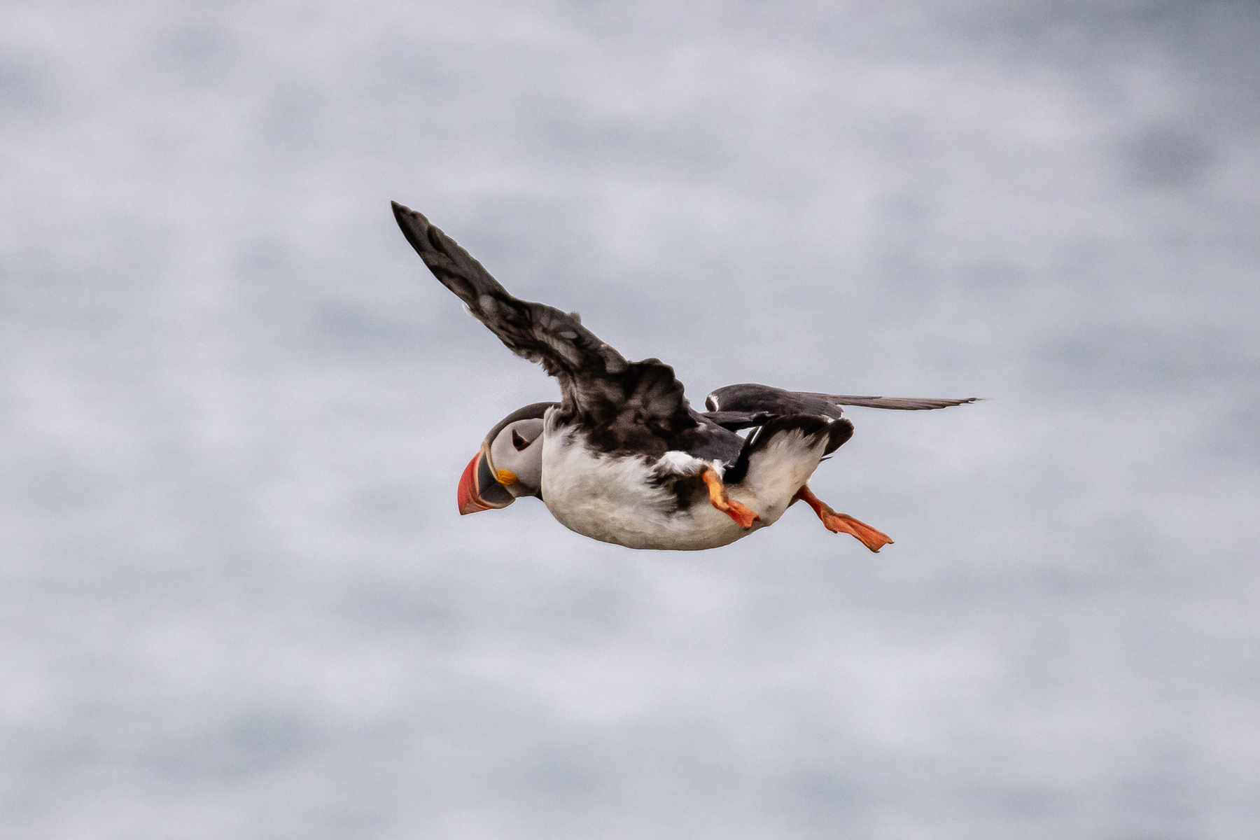
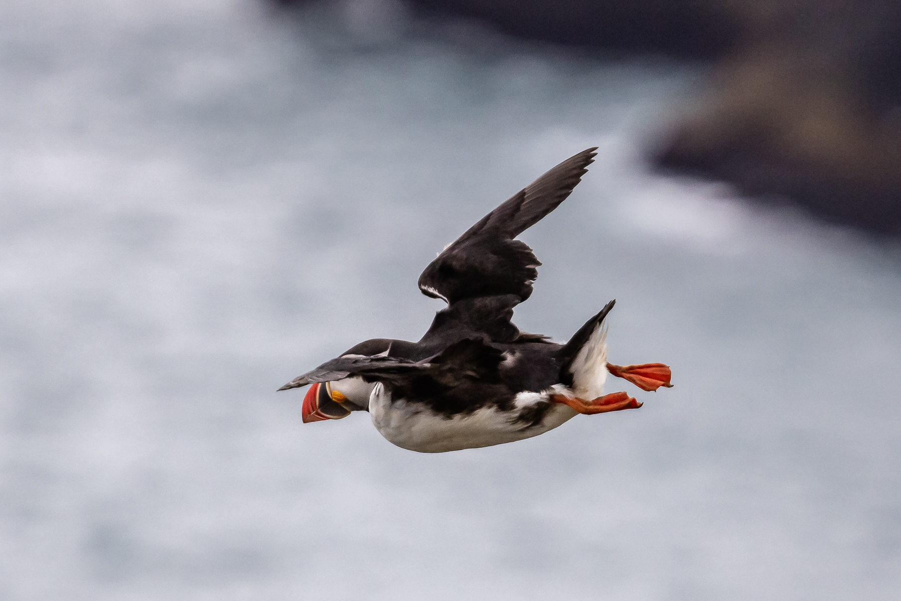
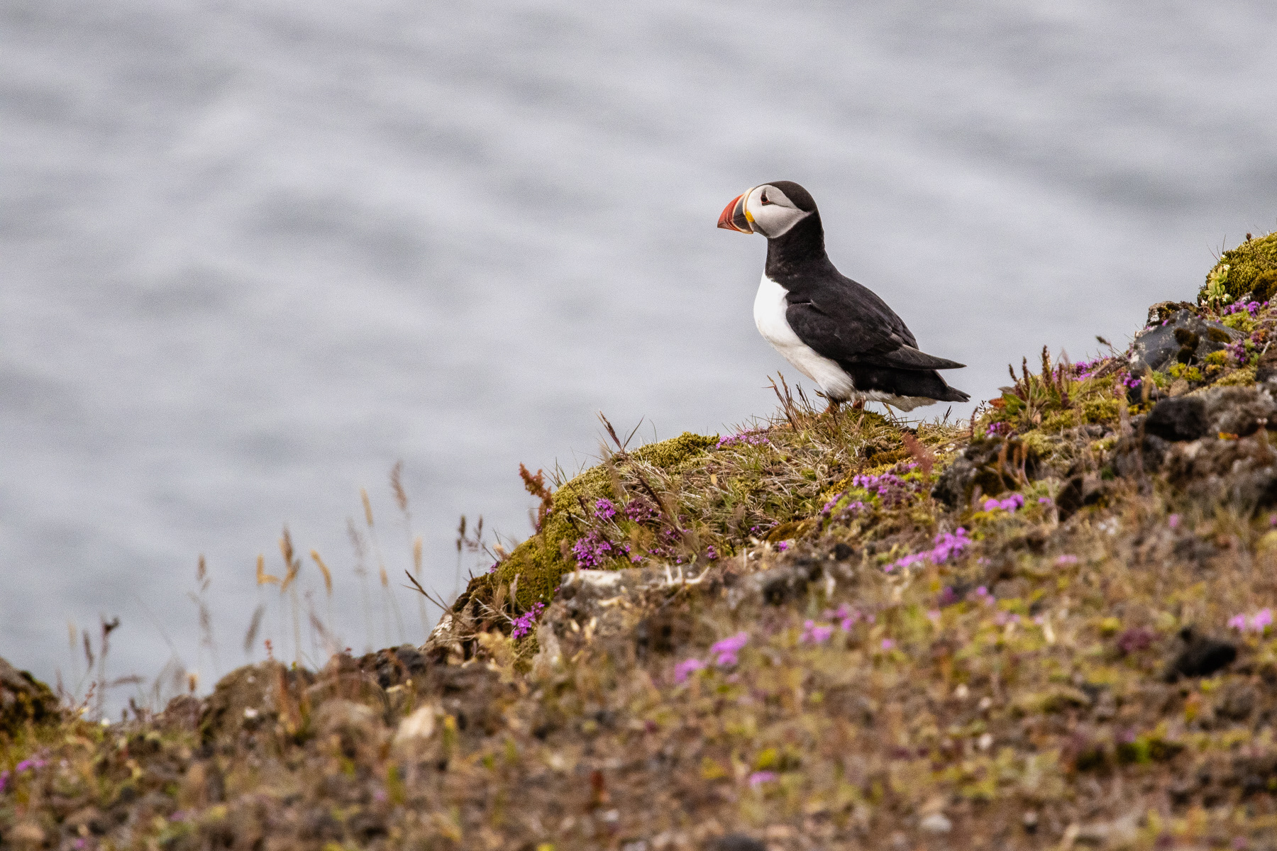
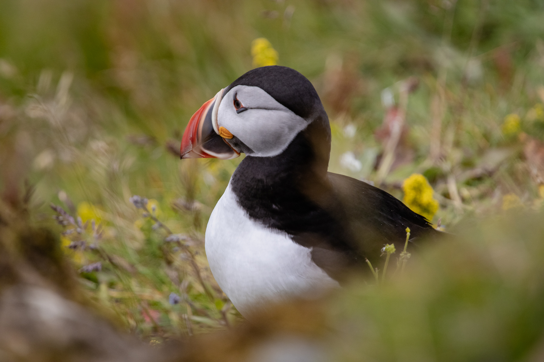
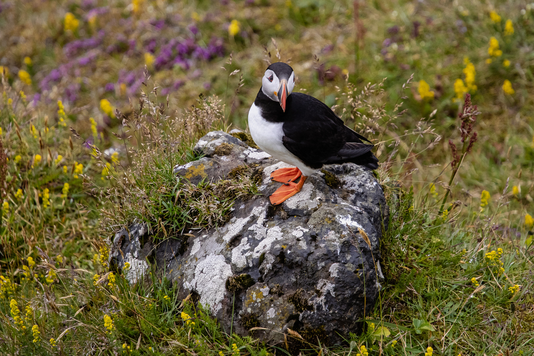
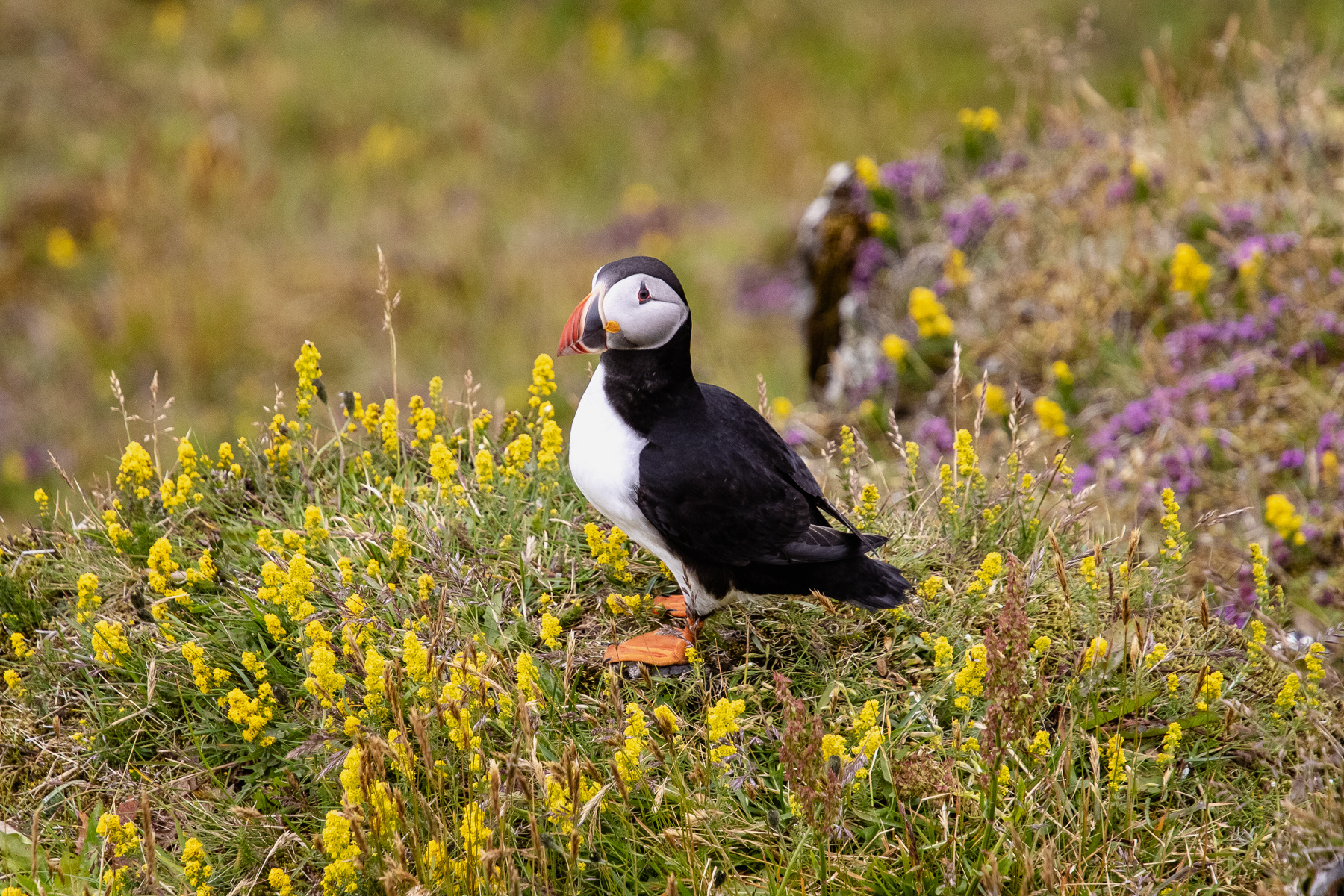
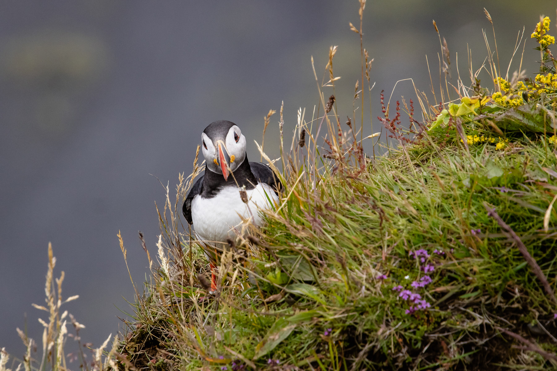
A puffin in fligth at Dyrhólaey.
The photo taken before the previous shot.
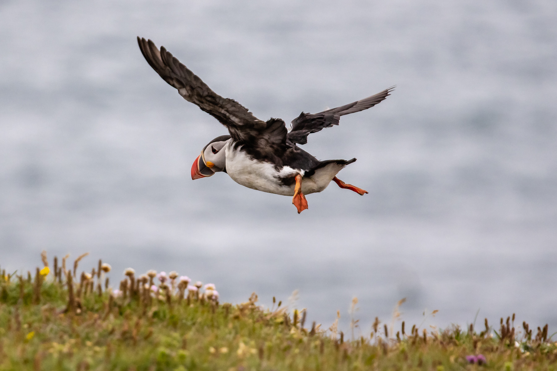
The photo taken after the main shot.
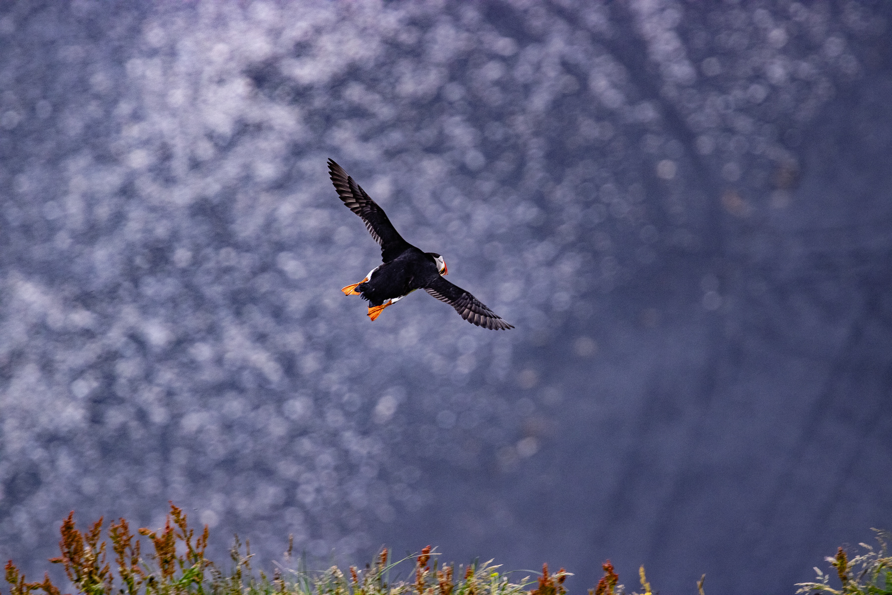
Free as a bird! A puffin diving towards the ocean from the Dyrhólaey cliffs.
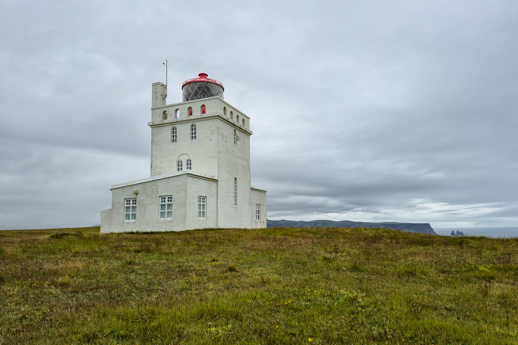
The Dyrhólaey Lighthouse.
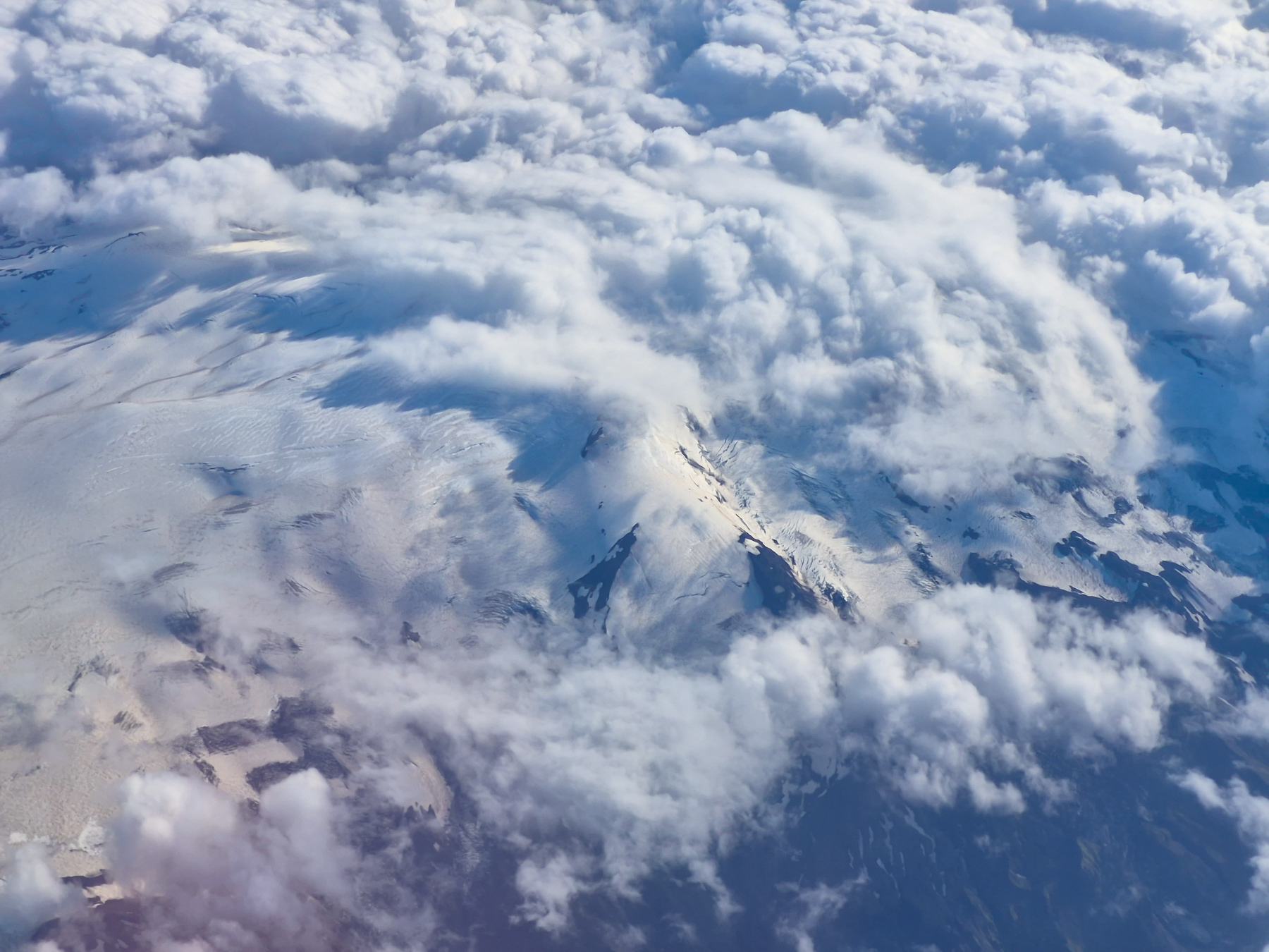
Depending on your approach or take-off, and your position on the plane, Katla and its neighbour Eyjafjallajökull can be spotted when you fly in or out of Keflavik International Airport from/to the East. For the untrained eye, such as mine, I cannot say which of the two I caught on the photo.