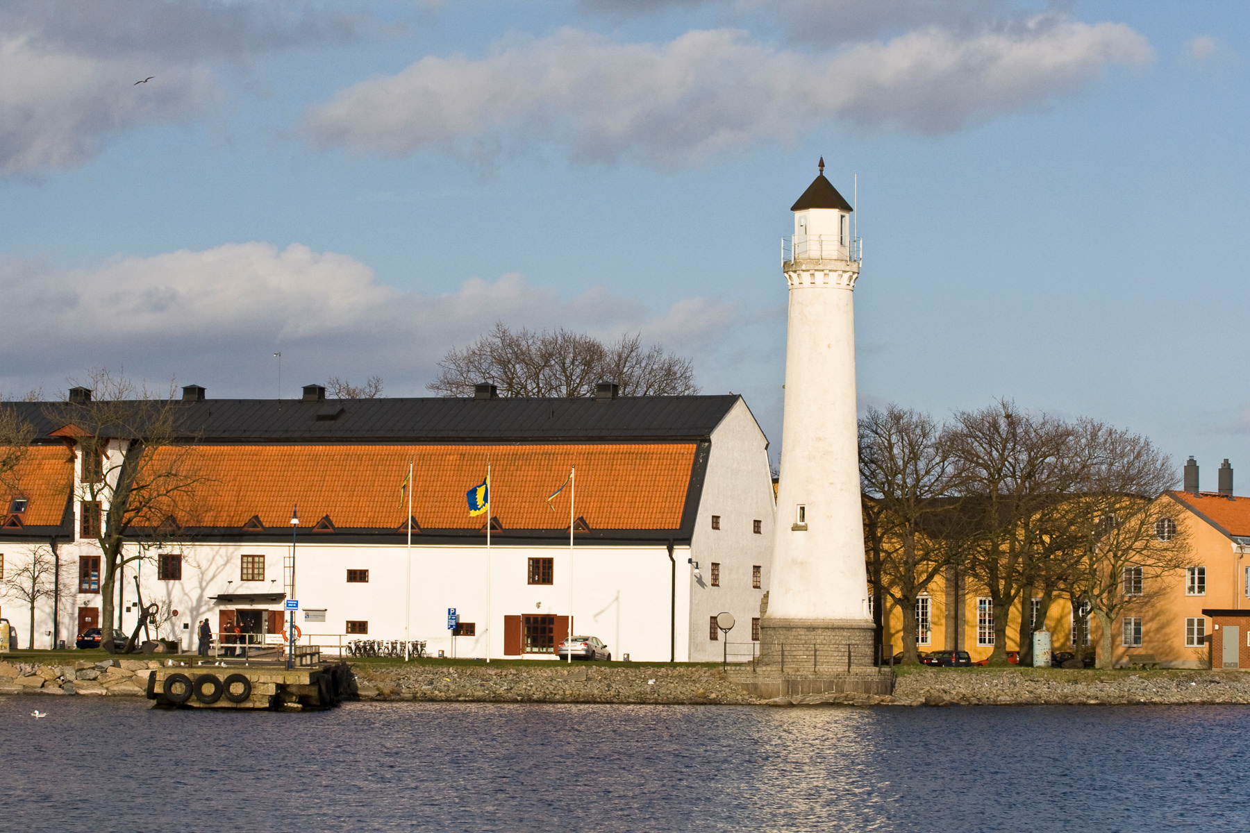
The lighttower in the inner harbour of Karlskrona, April 2007.
Blekinge is the southernmost corner of Sweden and is therefore often skipped by many tourists — unless one arrives by ferry from Poland or one makes an effort. Blekinge remains of enormous strategic value in the Baltic Sea. The Swedish Navy has controlled the coast from Karlskrona — the largest city — for centuries. The naval base and city formed a single entity for a long time and are even included in UNESCO's World Heritage for that reason.
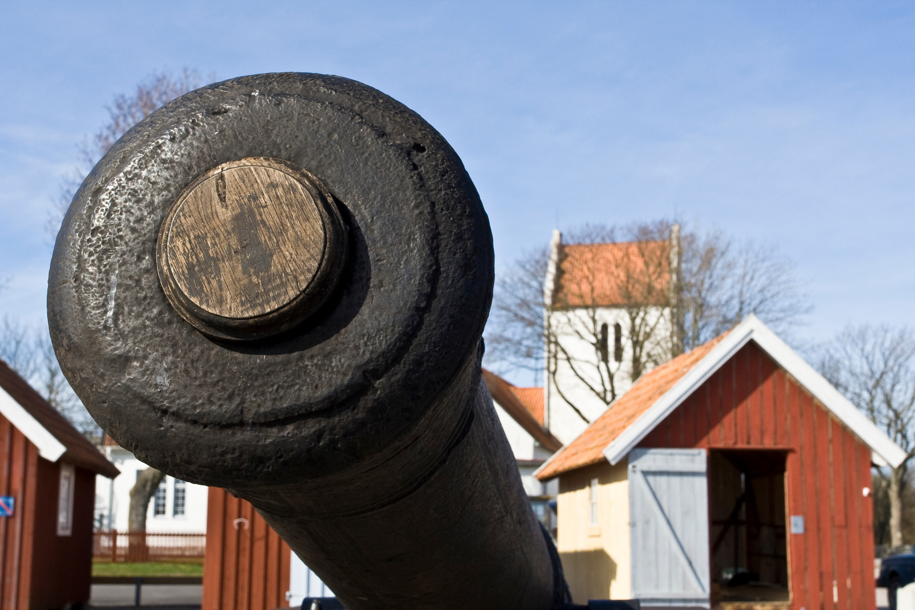
Historic gun in the Kristianopel harbour, April 2007.
Kristianopel
Kristianopel, a beautiful village on the route from Kalmar to Karlskrona, was founded in 1600 by the Danish King Kristian IV. It was intended to become a military stronghold and was therefore given a long wall.
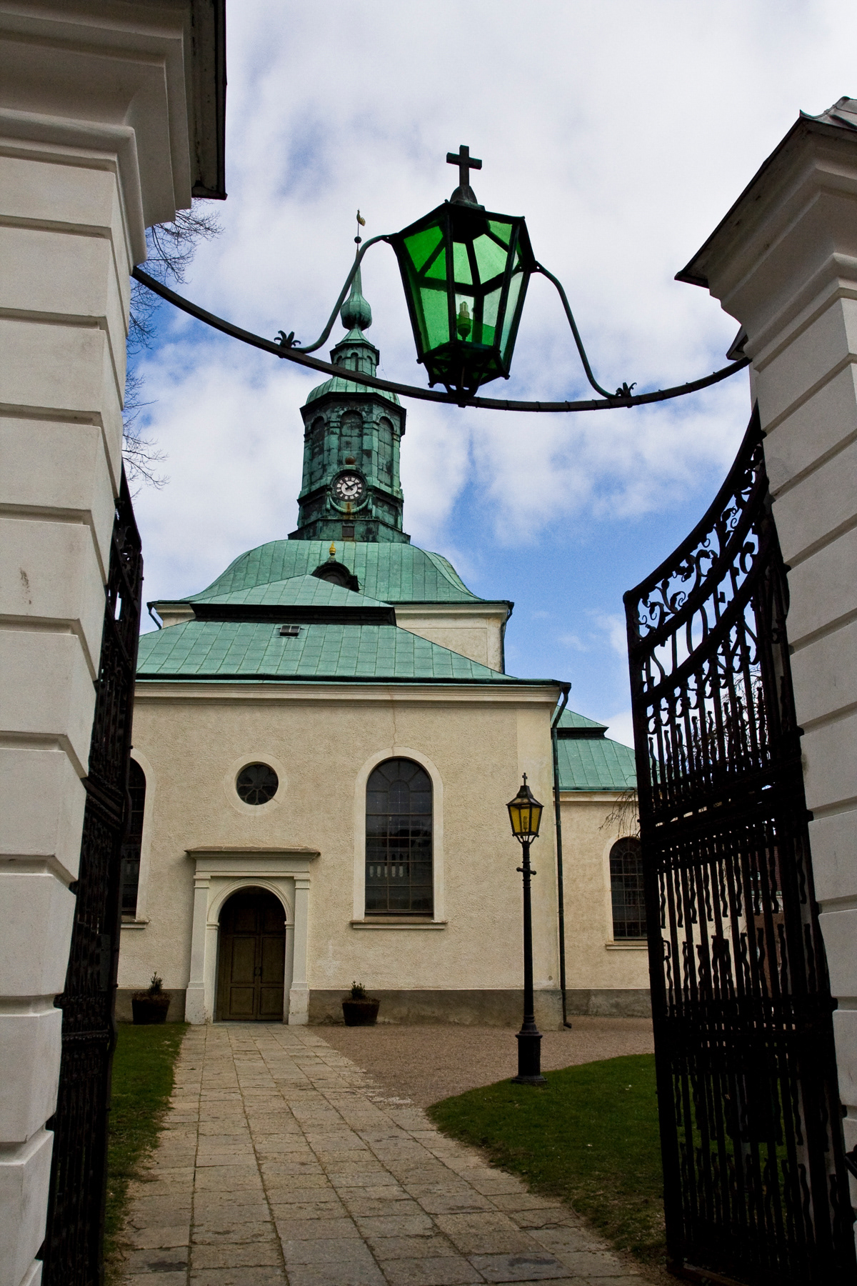
Now you will find mainly peace and quiet there, a small marina, a rose garden (with 400 varieties), a nice village shop (Lanthandel) at the entrance to Kristianopel, and small streets with beautiful houses. The architectural highlight is the Kristianopel church, built in 1624.
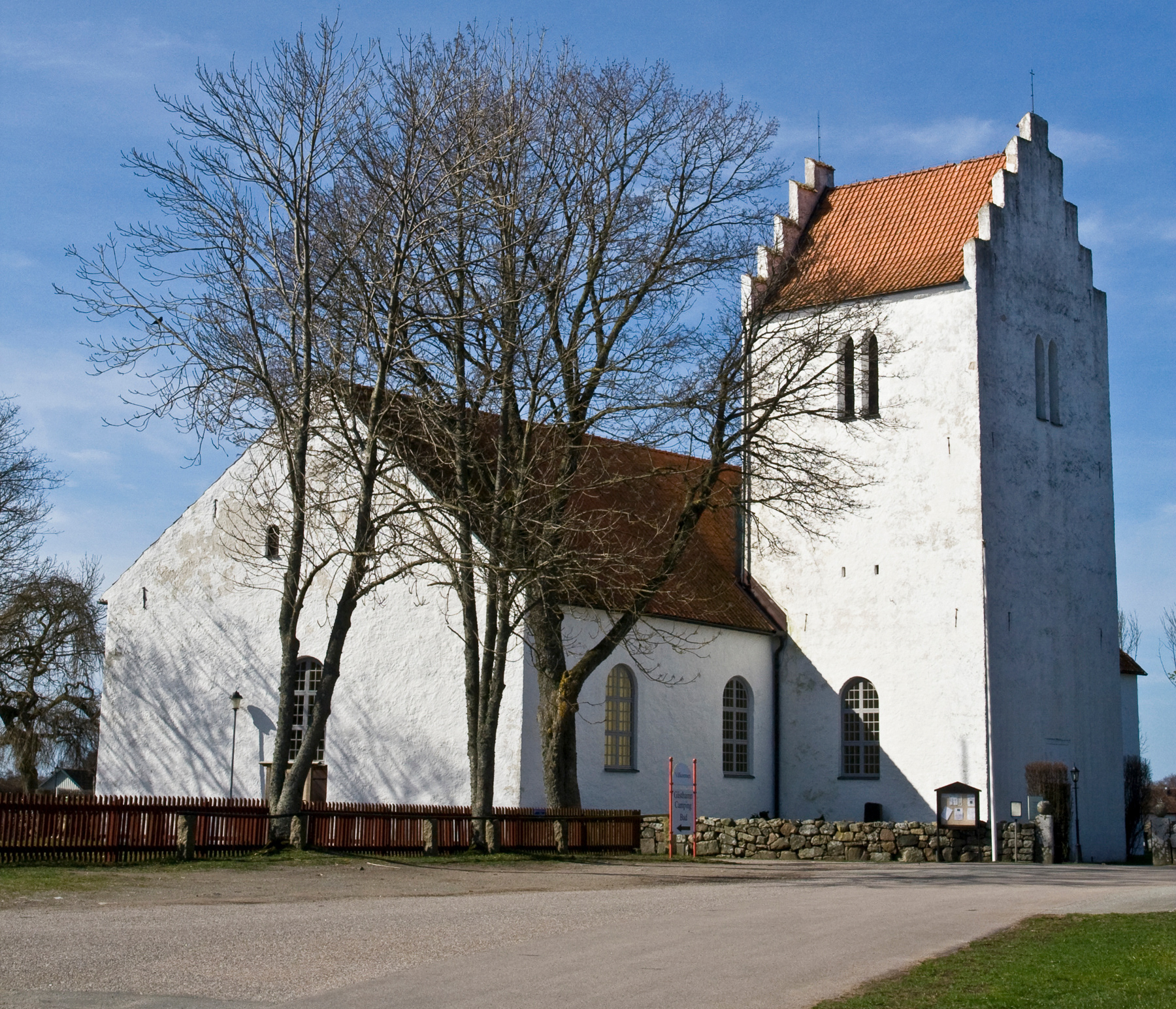
The Kristianopel Church from the year 1624, April 2007.
Karlskrona
Karlskrona is entirely dedicated to the navy. From the very beginning, the entire old city served as the base of the Swedish naval fleet and was built in such a way that the base and the city were virtually one. It is precisely for this reason that it was granted UNESCO World Heritage status in 1998.
Karlskrona (36,000 inhabitants) appears to have been built on water. The city consists largely of separate islands with harbours and bays. Especially in the centre, it is not difficult to imagine sailors parading in long lines through the streets. You still see them, but now often off duty when they buy their dinner at the supermarket.
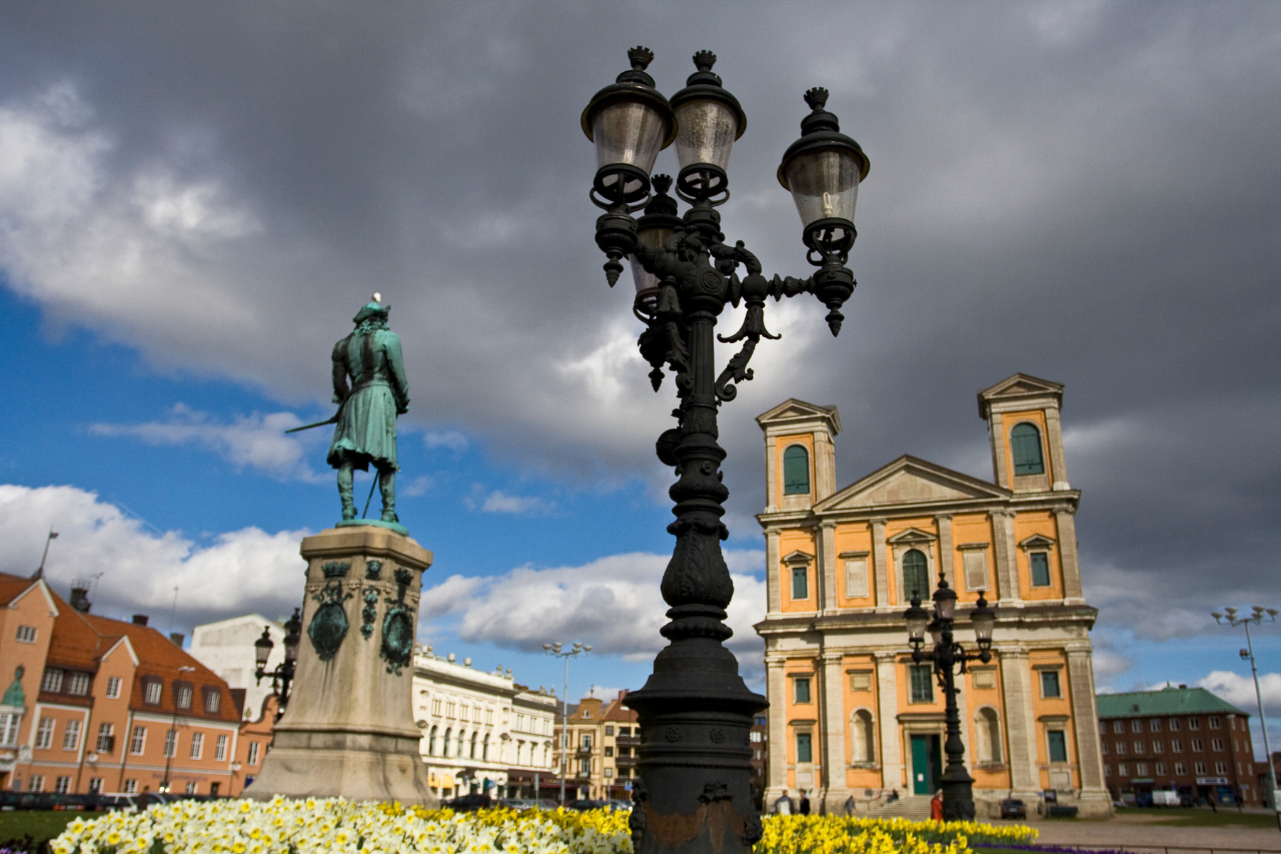
The central square of Karlskrona, April 2007.
Karlskrona: Trossö
The island of Trossö is the city centre of Karlskrona and features an unexpectedly steep incline from the north towards Stora Torget (main square) and then downhill to the sea.
The large square is impressive not only due to the open space but also because of the two very nice-looking churches. Walk south towards Amiralstorget. From north to south, the old railway tracks pass under Stora Torget to disappear underground at Admiralstorget (Admiral's Square). The tracks were formerly intended to transport supplies to the navy.
Everything south of Vallgatan is restricted territory and can only be entered with Swedish military identification. Also, be careful with photography here: capturing military installations is prohibited and, in extreme cases, can lead to arrest or detention. Yellow signs at many objects warn you of this.
Many of the current residential blocks between the current military base and the streets parallel to the south side of Stora torget were military schools and barracks until a few decades ago. Ronnebygatan and its side streets form the shopping area. You will find the cafés and restaurants in the northern half of the island of Trossö.
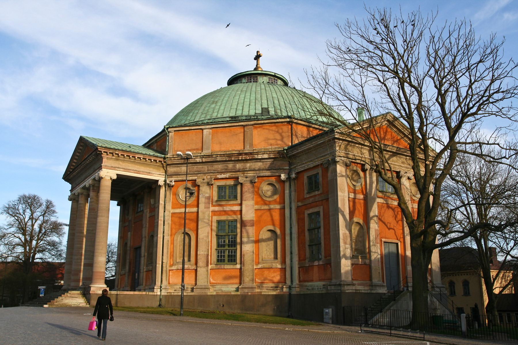
The Frederik Church, designed by Nicodemus Tessin den Yngre, from 1744.
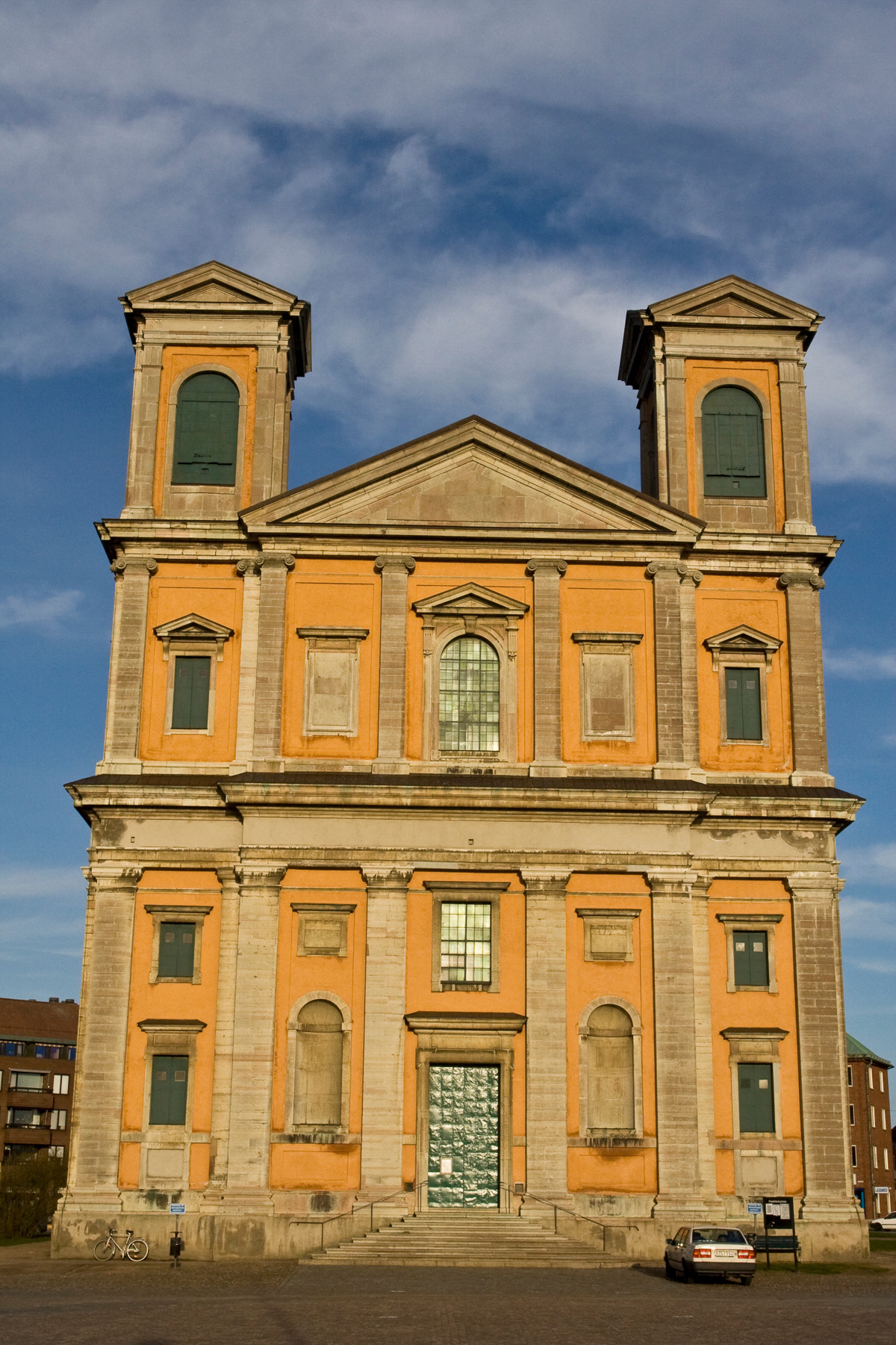
The Holy Trinity Church on main square, also designed by Nicodemus Tessin den Yngre based on the Pantheon in Rome. Construction took almost 40 years and was finished in 1750.
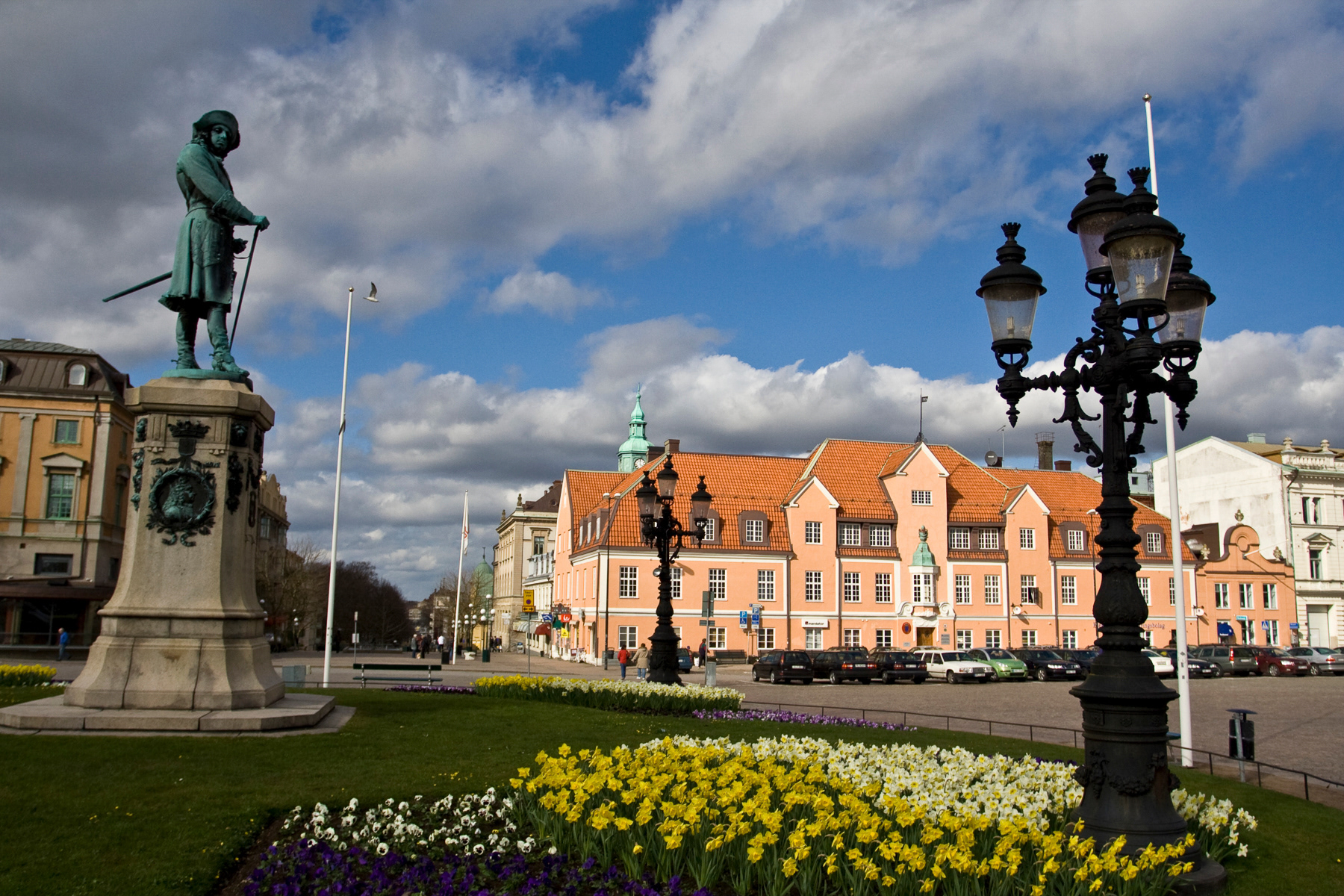
Stora torget, April 2007.
Karlskrona: Stumholmen
Until the 1970s, Stumholmen, an island connected by a bridge to the eastern part of Karlskrona's city centre, was a military base. The 300-year history of defence is still clearly visible, although the base has been beautifully transformed into a residential area. New buildings have been erected that blend perfectly with the former military complexes. Stumholmen is the most easily accessible part of the UNESCO World Heritage site in Karlskrona.
For 300 years, Stumholmen was intended to provide the Navy with sufficient storage space and workshops. The first structures date back to 1683, while the last military buildings were erected in the 1950s, twenty years before the complex was decommissioned. Stumholmen was also the pioneering place for Swedish naval aviation. In 1914, units of the Marines Flygverksamhet (Swedish Naval Air Arm) were stationed on the island.
Stumholmen is perfect for a short walk. The circumference of the island is approximately one kilometre (0.62 mile).
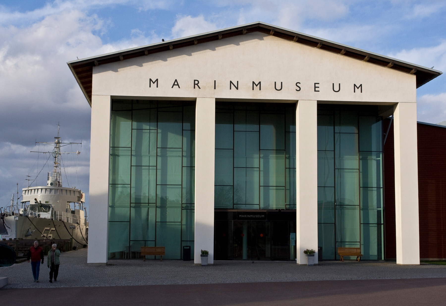
The Navy Museum at Stumholmen, April 2007.
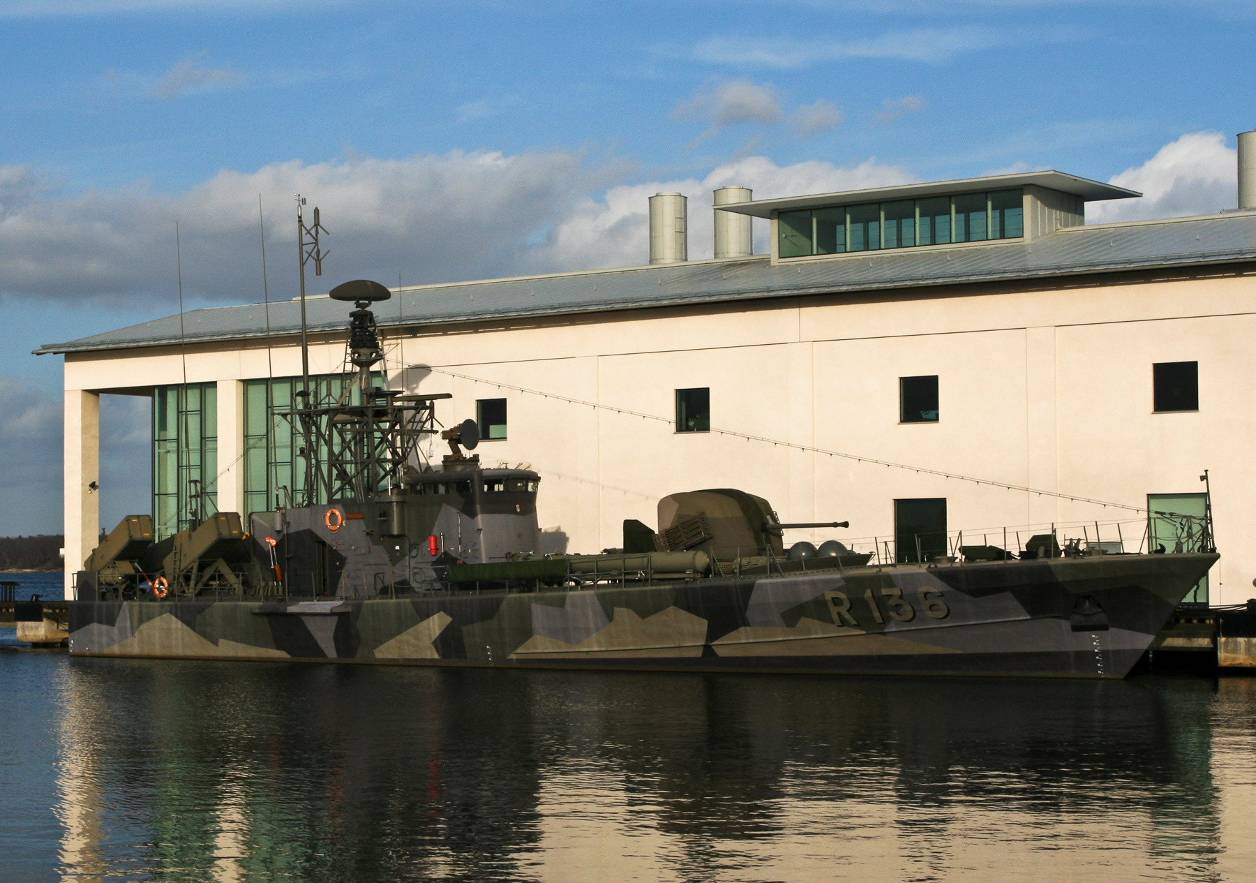
Decommissioned Swedish Navy missile boat R136 Västervik at the Navy Museum, April 2007.
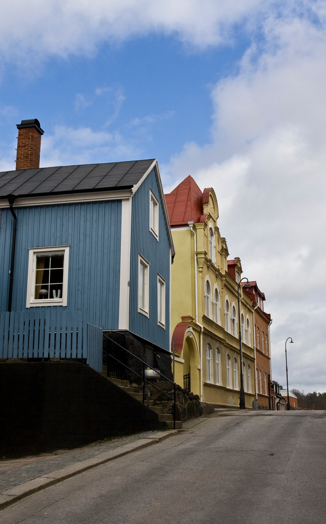
Karlshamn
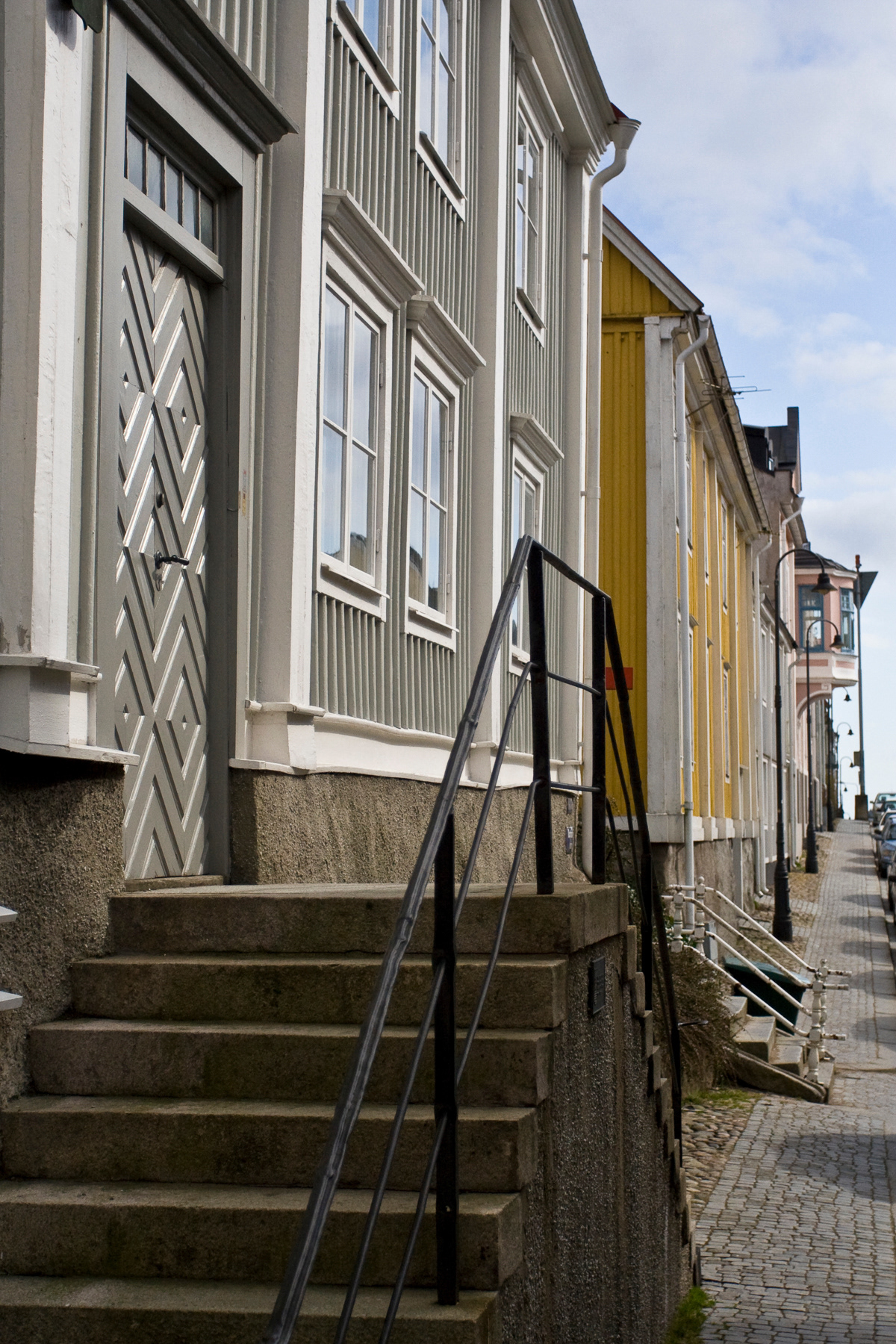
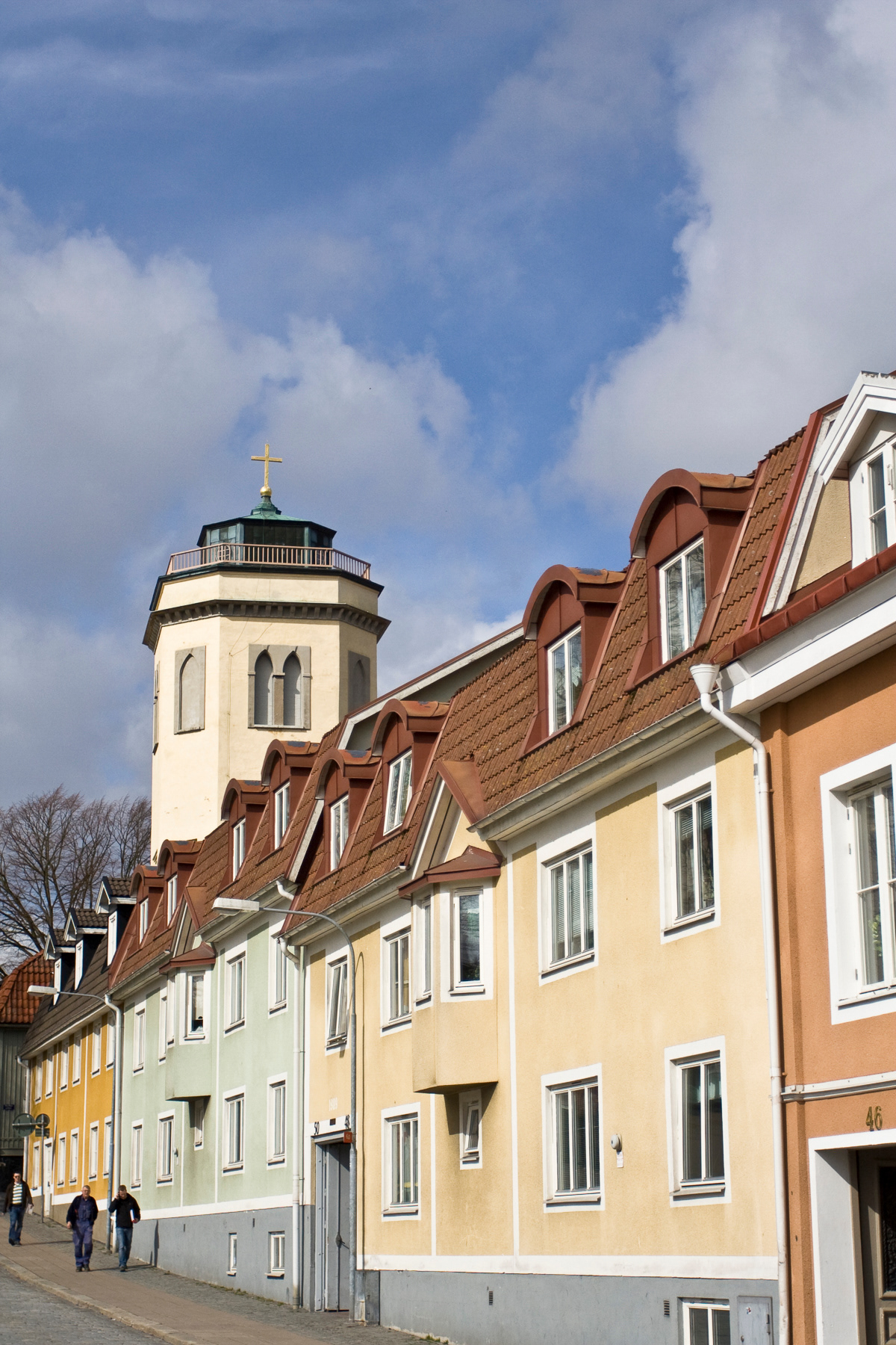
Gently sloping streets with blue, pink, red, yellow, orange, and sometimes gray wooden or stone houses make up the centre of Karlshamn: a friendly former fishing village that changed its name during its growth.
Karlshamn (20,000 inhabitants) was Danish Bodekull until 1658, when Sweden gained control after the Treaty of Roskilde. As Bodekull, it was one of the most important port towns in the Swedish part of Denmark at that time.
After the takeover Karlshamn became the designated location for the Swedish war fleet. The city received fortifications in 1675, and a garrison of 400 men took up residence. They could not prevent a Danish land army from launching an attack in 1678 and levelling 20 buildings, including the town hall. In 1710, the Danes launched another attack resulting burned down buildings.
Although nearby Karlskrona became Sweden's most important naval city, Karlshamn continued to serve as a prominent support hub for warring parties. During the Napoleonic Wars in the 19th century, thanks to support of the English fleet, Karlshamn became a huge smuggling port for goods to Europe. Reason was that the French blocked most ports in their territory to foreign trade. It was during this time that the alcoholic drink Carlshamns Flaggpunsch, still well-known in Sweden today, was also taken aboard the smuggling ships.
Streets of Karlshamn, April 2007.